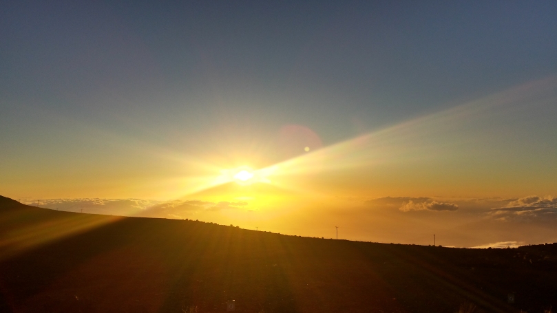
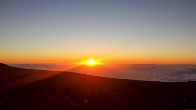
PCT Q&A

What is it?

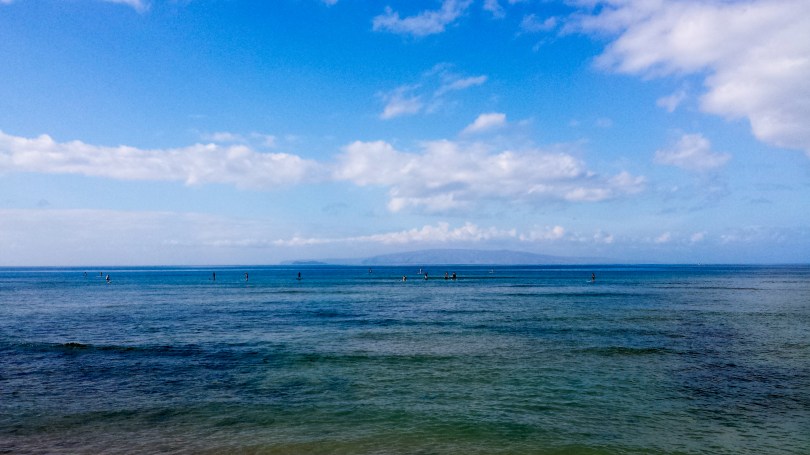
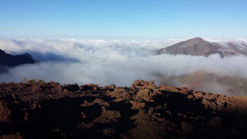
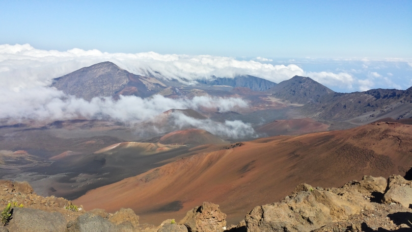
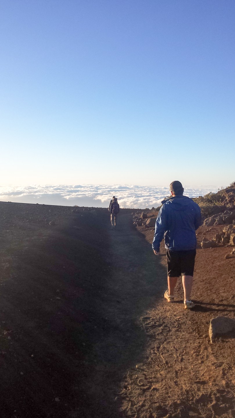
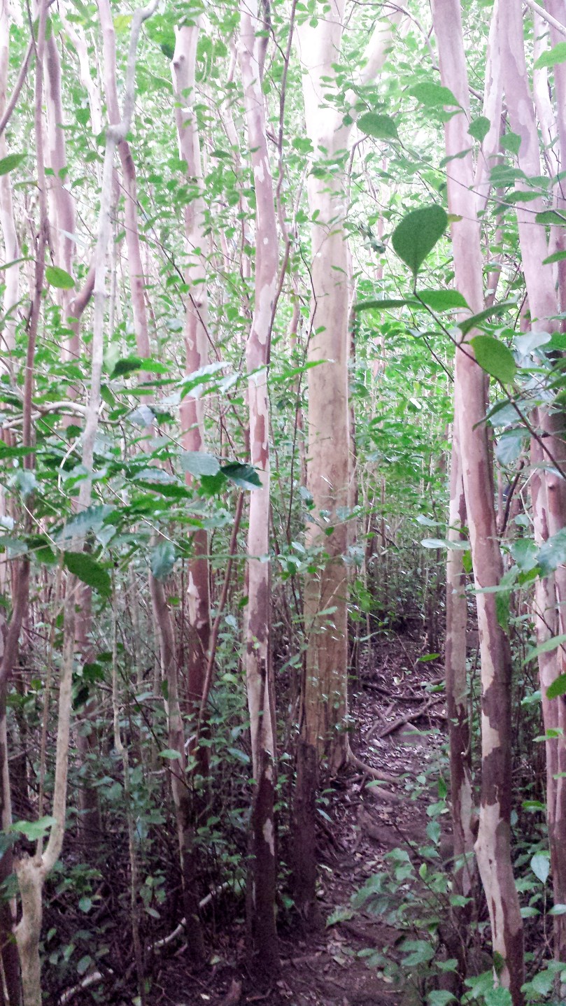
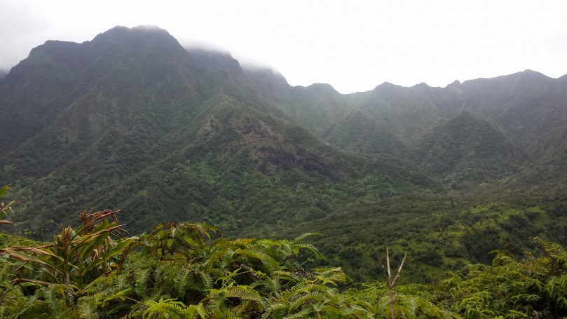
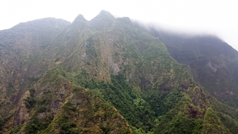
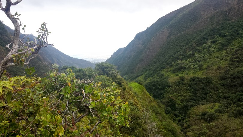
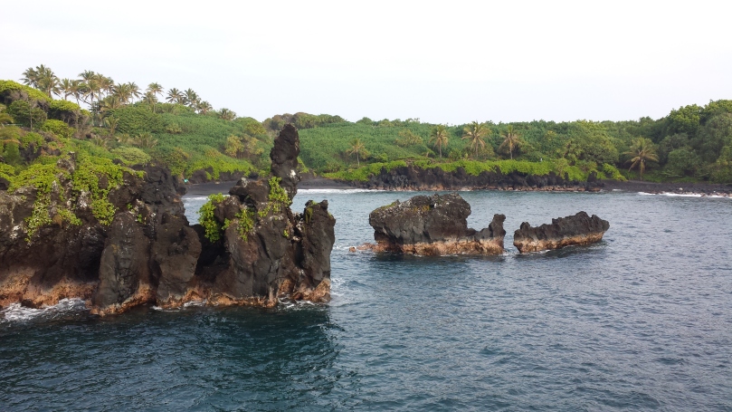
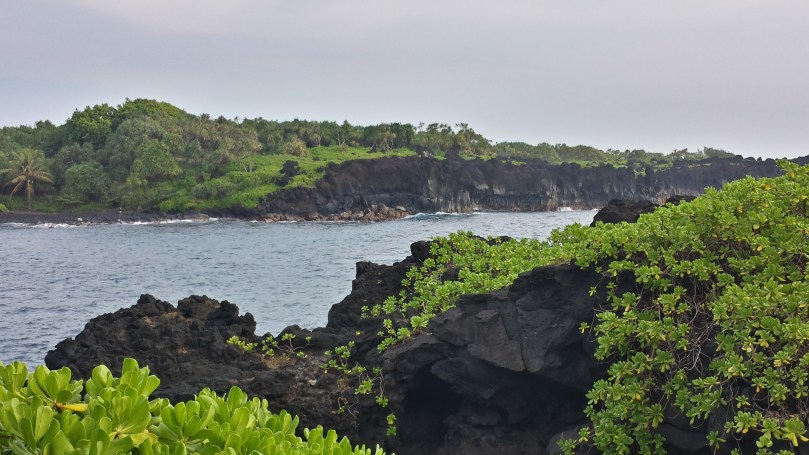
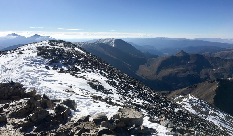
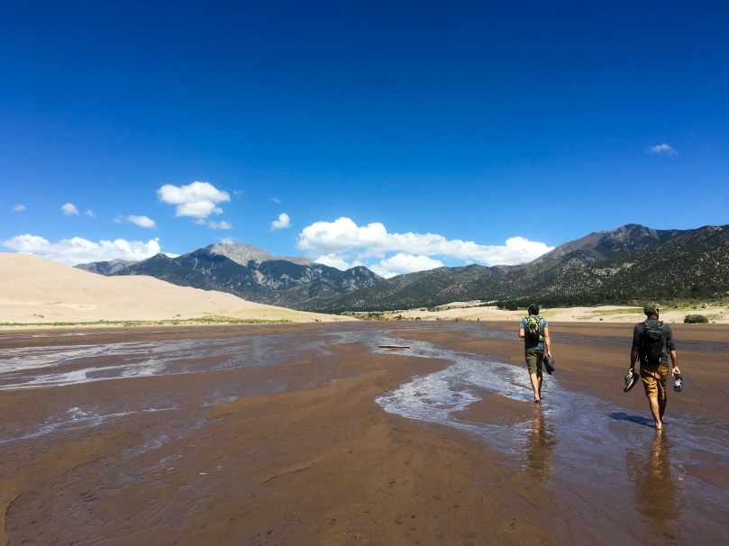
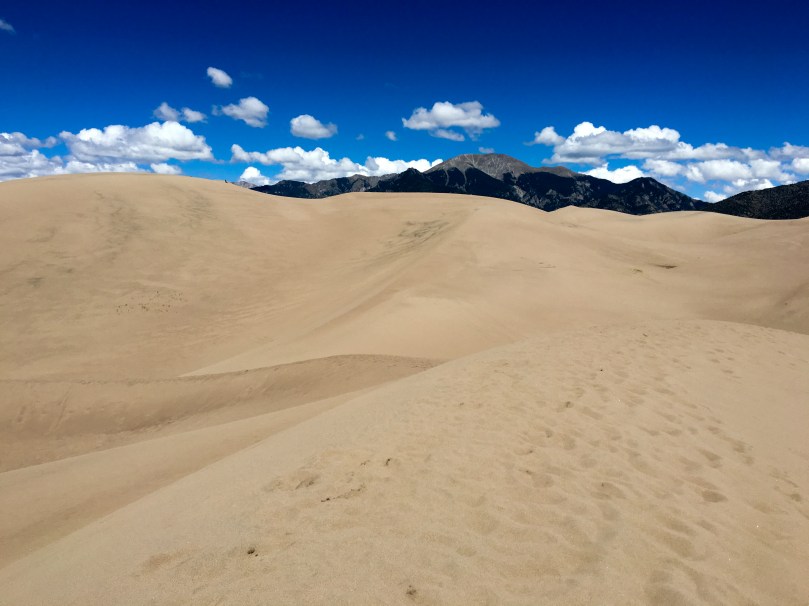
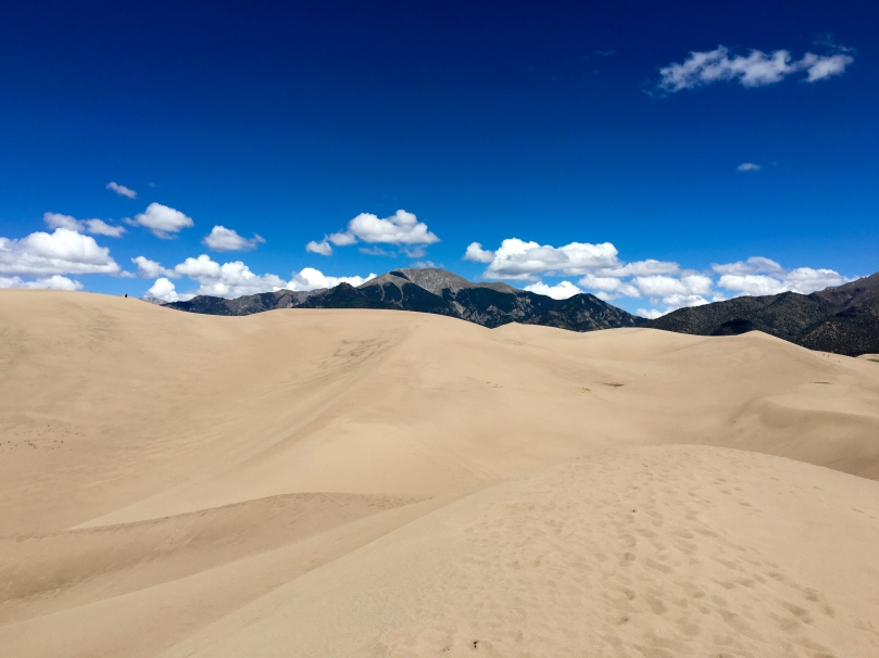
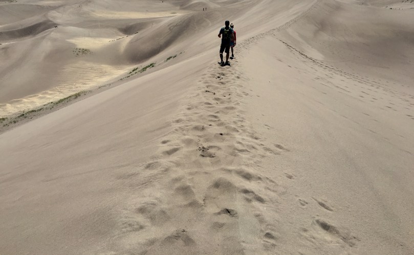
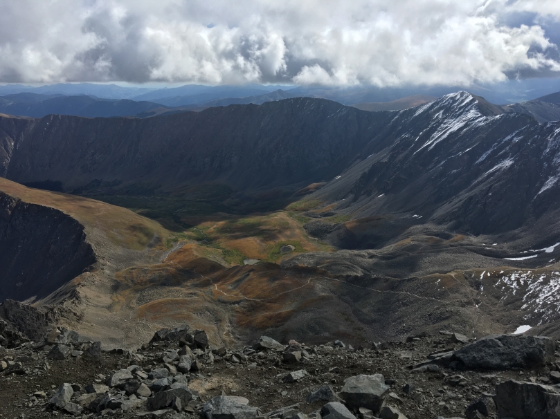
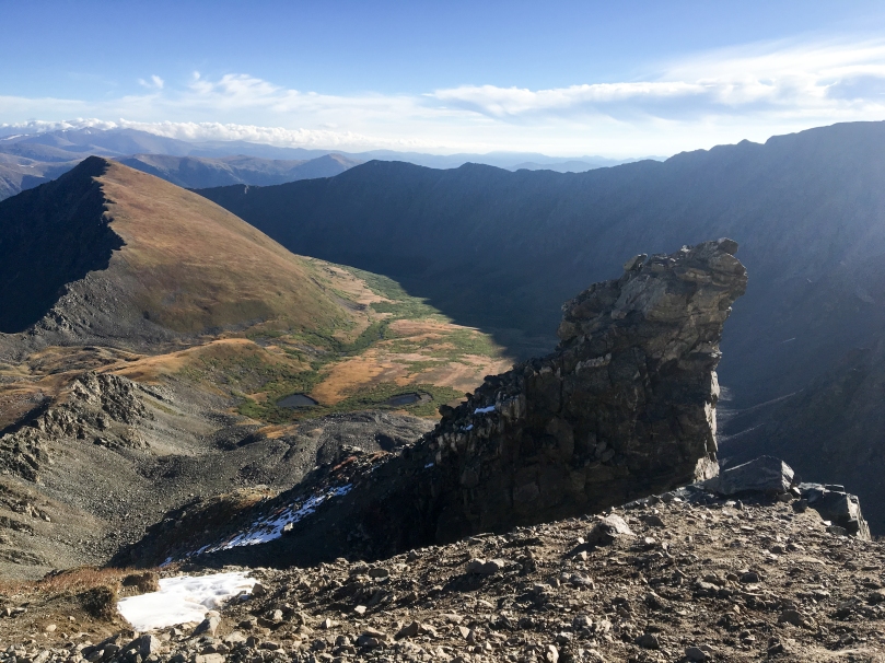
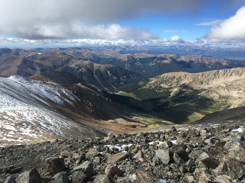
The Pacific Crest Trail is a long distance hiking trail spanning from the southern border of the United States with Mexico near Campo, CA to the northern border with Canada near Manning Park, BC.  It follows the Sierra Nevada and Cascade mountain ranges through California, Oregon, and Washington.

How many miles is it?

2660 miles or 4281 kilometers, plus all the road walking, any re-routes, and Mt. Whitney side trail

How long is it going to take?

Somewhere between 5-6 months, depending on our side trips, health, and the trail conditions.  We are planning on taking a few zero days in San Francisco to visit some friends and then again in the Portland area for the eclipse in August.

How much will it cost?

We’re expecting to spend ~$5,000 each over the course of 6 months.  Since I’m not paying rent during the trip, just a storage fee, my bills are next to nothing.  Looking at it another way, this is pretty similar to my average monthly living expense while not hiking.  A lot of people spend $1000+ per week on vacation, so this is cheap in comparison.

Where will you sleep?

On the ground, in our tent.  Or cowboy camping out in the open on some nights.  Unlike the Appalachian Trail there aren’t any shelters along the trail.

What about food and water?

We’ll be carrying food in ~3-8 sections and stopping in various towns along the way to resupply.  Our diet will consist of freeze-dried and dehydrated foods, peanut butter, snickers, candy, chips, tortillas, cheese, jerky, instant potatoes and just about anything else that gives us the calories, fat and protein we need to hike.  There’s a handful of places where resupplying in town is prohibitively expensive, not available, or poor selection.  We’ll be sending pre-packaged resupply boxes to those locations.  More on that here.

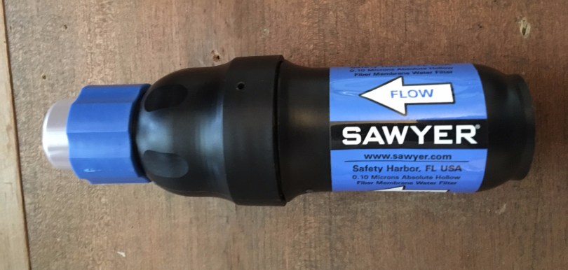
Water is scarce on a lot of parts of the trail.  Thankfully there’s great info on our map set and online from previous years, along with PCTWater.com which provides a Google Spreadsheet regularly updated by hikers and locals.  Water sources range from desert cisterns to waterfalls, to caches left by trail angels.  We’ll each be carrying anywhere from 2 – 8 liters of water at any given time.  All water will be filtered with a Sawyer Squeeze.

Why do it?

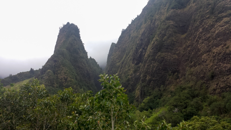
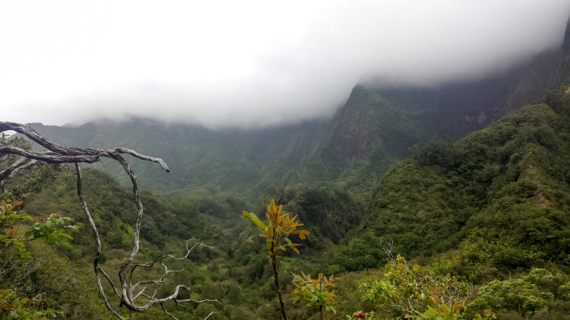
For the mental and physical challenge, the incredible scenery, sleeping outside more in a regular sleep cycle, skewing my work/life balance in favor of life, never been to California.

That sounds nice, I wish I could do something like that.

You probably can.  Save money, it will happen eventually.  It’s taken me years to arrange life for a thru hike.

Must be nice to have a trust fund.

Nope, don’t have one.  Just worked off and on since I was 14.  Saving a little bit here and there goes a long way.  As mentioned above, a thru hike costs roughly as much as normal living expenses over the same period of time.

Aren’t you going to get sick of each other?

Maybe at times.  But why should that discourage us from going?

But what about insurance?

On a more serious note, this is probably the hardest question to answer.  It seems like a lot of thru hikers either go with no insurance, their spouses cover them, or lately, using a HealthCare.gov plan.  No one is sure what will happen with healthcare at the moment, but Sara is using an ACA plan for now and I plan to as well.  My work insurance will cover me for a little while at least.

If you have any other questions, feel free to ask in the comments!

Sawyer Squeeze Mods

These aren’t my mods, but a couple I’ve read about in a few places that I think are worthwhile.  On the Long Trail, I treated my water with AquaMira and a bandana as a pre filter when there were a ton of floaters.  Based on what I’ve read about water sources in the Desert section of the PCT I’m going to want a pre-filter of some sort.  With some testing at home, the screen in adapter seems to work well.  I’ll update this on the trail if it fails or if I MacGyver anything else.  In the meantime here are some tips in no particular order:

  1. Buy a Sawyer SP150 Coupling:415WLmIxN8L
  2. The syringe the Squeeze comes with is good at back flushing, but not necessary when I can just use the adapter and a clean water bag.   One less thing to worry about.  There’s a thread about it on WhiteBlaze.net
  3. Use the plastic cap to keep it clean.img_1021.jpg
  4. If temps are going to drop below freezing at night, put the filter in your bag/quilt with you to prevent it from freezing.  If you can blow air through it after you suspect it’s been frozen, it’s definitely broken.

Big List o’ PCT Links

Here’s links to all the PCT stuff on my blog, followed by links to places that were helpful in planning the hike.

Useful on the Trail

General Information

High Snowfall/2017 Specific

Planning, Resupply

Food

Social

Maui 2016

In March of 2016 Sara and I flew to Maui to stay with a friend for a couple weeks.  We stayed in Kihei most of the time but drove around a good chunk of the island doing day hikes in various places.  On a return trip, I’d definetely backpacking for a couple nights in the Haleakala crater.

Points of Interest


Haleakala

Haleakala towers above and accounts for a solid chunk of East Maui.  Outside of a research station and the National Park facilities there isn’t much up there.  It’s incredibly beautiful, known for its sunrise and sunset views.  The altitude up there is ~10,000ft, but for whatever reason, the hiking didn’t feel like it was at that elevation.  It’s about as close to Mars as I ever plan on getting.

20160310_172715-10
Lots of shadows in the crater.

20160310_153649_Richtone(HDR)-320160310_171434-9

20160310_181105-12
Earth is definetely flat, edge is right there.
20160310_160709_Richtone(HDR)-7
Haleakala Observatory

20160310_174409-11

20160310_164307_Richtone(HDR)-8
If they were dust clouds, it would pretty much be Mars.

20160310_153516_Richtone(HDR)-120160310_153532_Richtone(HDR)-220160310_182536_Richtone(HDR)-1320160310_183421-14


Iao Valley

Iao Valley is a rainforest Valley in West Maui.  There’s a short official hike and then a popular, fun, but unofficial trail.  You can find the trailhead in some Yelp reviews and easily on Google.  It follows the ridge and higher ground for the most part so it has a bit of exposure and some no fall sections.

20160312_134007-1
The Iao Needle (Kūkaemoku)

20160312_135533-220160312_140116-320160312_144003-420160312_153404-5

20160312_153422-6
Looking back towards Wailuku.


Waiʻanapanapa State Park

Wai’anapanapa State Park is on the north east part of Maui.  It’s a lot different from any state parks I’ve been to in the lower 48 – there weren’t any designated campsites, just a field you could pitch your tent it.  It reminded me more of a music festival type camping experience than a state park.  No complaints though, there were great views, a black sand beach, and nice facilities.

20160308_075622

20160308_081233
Not a happy story.
20160307_181332
A black sand beach.

20160308_075419_Richtone(HDR)

Colorado 2016

More truck camping!  In Fall 2016 Sara and I drove out to Colorado to meet up with a buddy traveling and living out of his 4Runner for the summer.  We started at the Hoxeyville Music Festival in Hoxeyville, MI and then headed out west to stay with some friends in Fort Collins, CO.  From there we took the “scenic route” down to Jefferson, saw a show at Red Rocks and stayed with another friend.  We slept on BLM land most of the time, with a few notable side trips – the Great Sand Dunes National Park,  Rainbow Lakes Campground, and a hike up the easy 14ers, Grays Peak and Torreys Peak.

Great Sand Dunes National Park

Being from Michigan I’ve seen my share of sand dunes but these blew me away – they compare in beauty to the Michigan dunes but blow them away with their size and backdrop.  The park itself is the dunes, most of the area behind it and our primitive camping site was in the preserve.  There’s a fun 11 mile ORV trail that you can camp along – Medano Pass Road.  It has a few stream crossings, but nothing was more than 1-2′ while we were there in the late summer.

20160829-IMG_0526-6
You can imagine how good this feels on the feet.
20160828-IMG_0501-2
As a Michigan native it’s weird seeing dunes at the foot of a mountain range.

20160828-IMG_0504-320160828-IMG_0510-4

20160828-IMG_0494-1
Campsite off the Medano Pass Road.
20160828-IMG_0518-5
Great Sand Dunes National Park from Zapata Falls.

Rainbow Lakes Campground

Just outside of Nederland, CO, after a thirty minute drive down a rocky dirt path, sits Rainbow Lakes Campground.  This is one of the more remote but most meticulously maintained campgrounds I’ve been too.  The pit toilets are spotless and each campsite is raked after visitors leave.

There’s an easy 3 mile hike to the Rainbow Lakes starting from the campsite.  Each of the lakes have fairly easily followed game trail around them.

20160901-IMG_0579-13
Reflections mmmmm.
20160831-IMG_0571-12
Technically this picture is from a spot we camped on some nearby BLM land.  However I had to include it in this post – this bull wandered within a dozen yards or so of us.
20160901-IMG_0581-14
A rocky path down to one of the drier Rainbow Lakes.

20160901-IMG_0630-1620160901-IMG_0605-15

Grays Peak and Torreys Peak

While these are two of the easier 14ers Colorado has, they still kicked my flatlander ass.  After a few hours of sleep we started the hike around 5:30am, reaching the summit of Grays mid morning and Torreys a half hour or so later.  The summit views were spectacular as expected and surprisingly calm.  Microspikes would have been useful for the descent but sliding on my ass worked pretty well too.

20160830-IMG_0532-7

20160830-IMG_0551-10
Looking back at the valley we hiked up.
20160830-IMG_0539-1
Clear skies for Grays summit at 14,270ft.
20160830-IMG_0533-8
Skies still clear.
20160830-IMG_0554-11
Torreys summit at 14,267ft and afternoon clouds rolling in.