Eastbound and Down

The fall begins with a a weird feeling of great success filled with failure. We decided to forgo the southern portion of the Oregon Coast Trail in favor of more time with friends and a road trip cross country home. It’s been a great summer of backpacking and vagabonding, making it over 1500 miles on foot.

We tried to rent a small SUV, but ended up getting a brand new Ram 1500 with a HEMI V8 for the same price. Not the most efficient, but it was preferred by all of us. After not having a home for months, the shelter and transportation range the truck provided was a huge luxury.

Headed North, first views of Mount Rainier.

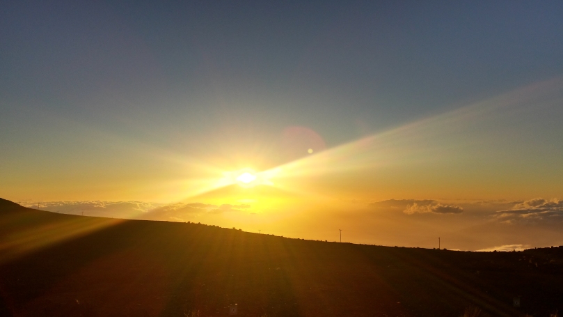
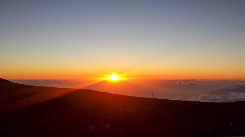
Sunset pictures from Birch Bay State Park in the Northwestern corner of Washington.

This is the view from our friends driveway – they recently moved to Ferndale, WA and it is paradise out there. We stayed with them for several days, enjoying cooking and lounging around the farm and property. Sara and I are hoping to come back to this area in the near future… it’s a beautiful place to live.

More bread making, more cheese.

Sara getting distracted by a friendly gym puppy at Bloc Yard Boulders in Spokane, WA.

Smoky afternoon in Whitefish, MT. We headed to Glacier National Park the next morning, despite the wildfires there. It’s crazy how many miles we’ve traveled around, through, and to wildfires this summer.

Driving the Going to the Sun Road through Glacier…

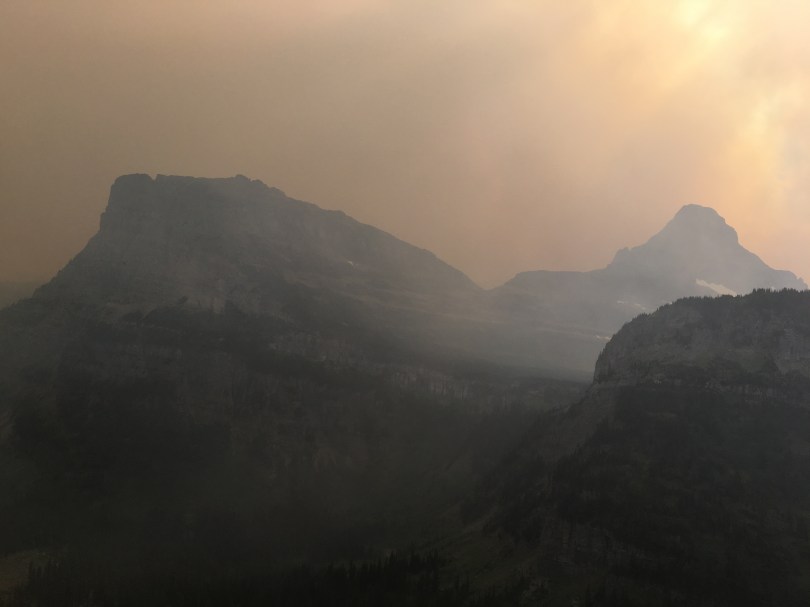
Smoke over the east side of the park, as seen from Logan Pass.

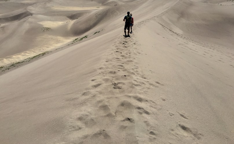
Like the PCT, only with hand rails for the feint of heart.

The East side of Glacier NP was super smoky, enough to burn the lungs after awhile. Sadly, the day after we were there, Sperry Chalet burned down. It was one of two historic chalets in the park built in the early 1900s.

Back home in Michigan, more big bodies of water but no salt, sharks, or jellyfish.

Delicious pasties and Michigan beer.

Brief stop at Ian’s hunting cabin.

And so it goes. Back home (once we find a place to actually sleep, hah!), at least for now… already starting planning for our return trip to finish the remaining Pacific Crest Trail miles!

The Eclipse

I’d been looking forward to this since the start of the trip – seeing a bunch of my friends from back home, our luxurious Airbnb’s reserved nearly a year ago. The eclipse derailed our Oregon Coastal hiking, but was one of the coolest parts of this summers’ travel so far.

Views from hiker/biker camp during sunrise and short hike at Cape Lookout State Park.

Airbnb luxuries.

Made some bread, for the first time ever. It turned out pretty well, was not a complete failure, and I’m going to make it to excess now. Really missed the kitchen during while long distance hiking – every meal is either in the Jetboil or eating out.

Actually pretty surprised at my phones ability to capture this moment. We enjoyed it from a hot tub, sipping on mimosas. Pretty cool to feel the temp drop a good 20 degrees and a brief bit of darkness.

Ice cream; ice cream and bacon.

Porch cat.

This ATM we walked by was super secure and legit.

View from Mt. Tabor.

The San Francisco Layover

So we’ve been off trail and in Morro Bay/San Francisco now for more days than I can count – thanks to Sara’s friend for a place to stay, we could easily stay here even longer.  The food is too good, especially with the added hiker hunger.  But the trail is calling and we’ve been itching to get back to the hiking and out of the big city.  

We’ve been vigilantly scouring Facebook, Instagram, WhiteBlaze, and messaging friends on the trail to consider our next move.  While the snow seems like a challenge we can deal with, the rivers are getting more and more dangerous and unpredictable day by day.  After hearing about many people bailing, skipping ahead, or just having miserable times, we’ve decided to skip ahead about 390 miles, to South Lake Tahoe (by the time this posts, we’ll be on the trail in that section).  We’re gonna bring some of our snow gear, but get to (thankfully!) leave our bear canisters for now and use Ursack’s instead.  The plan is to come back and finish the Sierra’s in the late season – as an added bonus we’ll hopefully skip the mosquitos.  This has not been an an easy decision, but my gut is telling me its the right call.  No sense in taking on too much unecessary risk, the only benefit would be to my own ego.

With that said, we’ve been keeping active here and haven’t fallen completely into binging on luxuries.  Sara’s parents flew in from Michigan for a few days and teamed up with us for some microadventures.  Over the past couple weeks we’ve tackled:

  • Morro Bay/Morro Rock

  • Alcatraz Island

  • Muir Woods National Monument

Baby fox!

  • Muir Beach

  • Sutro Baths

  • Coit Tower
  • Golden Gate Bridge walk

  • Golden Gate Park – Tea Garden, Botanical Gardens
  • Rosie the Riveter WWII Homefront NP

  • Various section hikes of the San Francisco Bay Trail

  • Anchor Steam Brewing Tour
  • Dogpatch Boulders

And so on.  I tried to only list the things that involved being active, the food could probably use it’s own post.  But since this is more or less an adventure/hiking blog, I’ll just give one special mention to Bellota where I had my birthday dinner – damn good paella!


Of course we also spent quite a bit of time preparing for and figuring out this next stretch of our trip.  We probably went to REI or Sports Basement every other day.  We cleaned our gear while catching up on some Netflix.  I even got a hair cut!

Thanks again to Danielle and Lu for hosting and providing us with a place to stay! 

Expect our next blog post to be in a week or two from Quincy, CA.

Maui 2016

In March of 2016 Sara and I flew to Maui to stay with a friend for a couple weeks.  We stayed in Kihei most of the time but drove around a good chunk of the island doing day hikes in various places.  On a return trip, I’d definetely backpacking for a couple nights in the Haleakala crater.

Points of Interest


Haleakala

Haleakala towers above and accounts for a solid chunk of East Maui.  Outside of a research station and the National Park facilities there isn’t much up there.  It’s incredibly beautiful, known for its sunrise and sunset views.  The altitude up there is ~10,000ft, but for whatever reason, the hiking didn’t feel like it was at that elevation.  It’s about as close to Mars as I ever plan on getting.

20160310_172715-10
Lots of shadows in the crater.

20160310_153649_Richtone(HDR)-320160310_171434-9

20160310_181105-12
Earth is definetely flat, edge is right there.
20160310_160709_Richtone(HDR)-7
Haleakala Observatory

20160310_174409-11

20160310_164307_Richtone(HDR)-8
If they were dust clouds, it would pretty much be Mars.

20160310_153516_Richtone(HDR)-120160310_153532_Richtone(HDR)-220160310_182536_Richtone(HDR)-1320160310_183421-14


Iao Valley

Iao Valley is a rainforest Valley in West Maui.  There’s a short official hike and then a popular, fun, but unofficial trail.  You can find the trailhead in some Yelp reviews and easily on Google.  It follows the ridge and higher ground for the most part so it has a bit of exposure and some no fall sections.

20160312_134007-1
The Iao Needle (Kūkaemoku)

20160312_135533-220160312_140116-320160312_144003-420160312_153404-5

20160312_153422-6
Looking back towards Wailuku.


Waiʻanapanapa State Park

Wai’anapanapa State Park is on the north east part of Maui.  It’s a lot different from any state parks I’ve been to in the lower 48 – there weren’t any designated campsites, just a field you could pitch your tent it.  It reminded me more of a music festival type camping experience than a state park.  No complaints though, there were great views, a black sand beach, and nice facilities.

20160308_075622

20160308_081233
Not a happy story.
20160307_181332
A black sand beach.

20160308_075419_Richtone(HDR)

Colorado 2016

More truck camping!  In Fall 2016 Sara and I drove out to Colorado to meet up with a buddy traveling and living out of his 4Runner for the summer.  We started at the Hoxeyville Music Festival in Hoxeyville, MI and then headed out west to stay with some friends in Fort Collins, CO.  From there we took the “scenic route” down to Jefferson, saw a show at Red Rocks and stayed with another friend.  We slept on BLM land most of the time, with a few notable side trips – the Great Sand Dunes National Park,  Rainbow Lakes Campground, and a hike up the easy 14ers, Grays Peak and Torreys Peak.

Great Sand Dunes National Park

Being from Michigan I’ve seen my share of sand dunes but these blew me away – they compare in beauty to the Michigan dunes but blow them away with their size and backdrop.  The park itself is the dunes, most of the area behind it and our primitive camping site was in the preserve.  There’s a fun 11 mile ORV trail that you can camp along – Medano Pass Road.  It has a few stream crossings, but nothing was more than 1-2′ while we were there in the late summer.

20160829-IMG_0526-6
You can imagine how good this feels on the feet.
20160828-IMG_0501-2
As a Michigan native it’s weird seeing dunes at the foot of a mountain range.

20160828-IMG_0504-320160828-IMG_0510-4

20160828-IMG_0494-1
Campsite off the Medano Pass Road.
20160828-IMG_0518-5
Great Sand Dunes National Park from Zapata Falls.

Rainbow Lakes Campground

Just outside of Nederland, CO, after a thirty minute drive down a rocky dirt path, sits Rainbow Lakes Campground.  This is one of the more remote but most meticulously maintained campgrounds I’ve been too.  The pit toilets are spotless and each campsite is raked after visitors leave.

There’s an easy 3 mile hike to the Rainbow Lakes starting from the campsite.  Each of the lakes have fairly easily followed game trail around them.

20160901-IMG_0579-13
Reflections mmmmm.
20160831-IMG_0571-12
Technically this picture is from a spot we camped on some nearby BLM land.  However I had to include it in this post – this bull wandered within a dozen yards or so of us.
20160901-IMG_0581-14
A rocky path down to one of the drier Rainbow Lakes.

20160901-IMG_0630-1620160901-IMG_0605-15

Grays Peak and Torreys Peak

While these are two of the easier 14ers Colorado has, they still kicked my flatlander ass.  After a few hours of sleep we started the hike around 5:30am, reaching the summit of Grays mid morning and Torreys a half hour or so later.  The summit views were spectacular as expected and surprisingly calm.  Microspikes would have been useful for the descent but sliding on my ass worked pretty well too.

20160830-IMG_0532-7

20160830-IMG_0551-10
Looking back at the valley we hiked up.
20160830-IMG_0539-1
Clear skies for Grays summit at 14,270ft.
20160830-IMG_0533-8
Skies still clear.
20160830-IMG_0554-11
Torreys summit at 14,267ft and afternoon clouds rolling in.