The Eclipse

I’d been looking forward to this since the start of the trip – seeing a bunch of my friends from back home, our luxurious Airbnb’s reserved nearly a year ago. The eclipse derailed our Oregon Coastal hiking, but was one of the coolest parts of this summers’ travel so far.

Views from hiker/biker camp during sunrise and short hike at Cape Lookout State Park.

Airbnb luxuries.

Made some bread, for the first time ever. It turned out pretty well, was not a complete failure, and I’m going to make it to excess now. Really missed the kitchen during while long distance hiking – every meal is either in the Jetboil or eating out.

Actually pretty surprised at my phones ability to capture this moment. We enjoyed it from a hot tub, sipping on mimosas. Pretty cool to feel the temp drop a good 20 degrees and a brief bit of darkness.

Ice cream; ice cream and bacon.

Porch cat.

This ATM we walked by was super secure and legit.

View from Mt. Tabor.

Oregon Coast Adventure

Just a forewarning – this is more of a collection of notes than a trail journal. Since there’s not too much information about the Oregon Coast as a thru hike, we took notes we thought may be of help to other hikers. We are also hiking at an EXTREMELY slow pace, enjoying our wind down from PCT life. We are also hiking this pace to time meeting up with friends for the solar eclipse, within the totality zone. The thru hike could be done in 20 days easily if pushing it, but the frequent towns and beach walks are a constant temptation to slow you down and enjoy all the Coast has to offer.

Day 1 (8/11/17) Lot C to Fort Stevens State Park Hiker/Biker Camp. Taxi, Astoria to Warrenton. Hitch Warrenton to Hammond. Road walk Hammond/Bouy 9 to Lot C. Gates to Fort Stevens close at 6pm. Started trail at official point around 6pm. Easy beach walk at lowering tide ~3.75 mi to Peter Iredale. Follow trail at Peter Iredale 1 mi to campground. Hiker/biker campsites available for $6/person. Picnic tables, fire rings, close to restroom and free showers. Busy park on weekends.

Day 2 (8/12/17) Fort Stevens State Park Hiker/Biker Camp to Del Ray Beach State Rec Area.Started hike around noon. Checked out Coffenbury lake before continuing to beach. Sunny morning/afternoon, lots of people and vehicles on beach. Walked beach from Peter Iredale access point to Del Ray Beach State Rec Area/Highlands Ln and camped nearby.

Day 3 (8/13/17) Del Ray Beach State Rec Area to Ebb Tide Oceanfront Inn/Seaside. Hiked another few miles to Pacific Way beach access and into Gearhart. Used Google Maps to guide through town avoiding 101 when possible and continued into Seaside. Met up with Ian, spent the night a the Ebb Tide Oceanfront Inn.

Day 4 (8/14/17) Ebb Tide Oceanfront Inn/Seaside to Hug Point State Park. Hiked out of Seaside along the beach before following neighborhood road up to tillamook head. 1000ft gain through muddy forest up to head. Nice backpacker site with three structures, large picnic table, fire pit and vault toilet. Hiked down to Indian point, trail washout forced roadwalk out of park. Hitch from from friendly couple to Cannon Beach, guy hiked PCT. Beach walk rest of the evening to Hug Point. Tide too high to get around, set up camp and waited to cross in am.

Day 5 (8/15/17) Hug Point State Park to Nehalem Bay State Park. Hiked around Hug Point at lower tide and beach walked Arch Cape beach, heading inland on south end of beach on East Shingle Mill Lane. Hiked down this road until the suspension bridge down a driveway on the right. There’s an OCT blaze and typically a truck with a boat in the driveway, according to a local. The trail resumed here and took us through Oswald West State Park. Near the south end of the park where the trail crosses 101, we road walked (there is a sidewalk most of the way, only about 0.25mi without) to Sunset Drive on the north end of Manzanita. Keeping right down Meadow Loop, there was a beach access trail. We continued along the beach a couple miles, stopped for dinner, then headed inland at Horizon Lane which took us to the registration booth at Nehalem Bay State Park. Camped in the hiker/biker camp.

Day 6 (8/16/17) Nehalem Bay State Park to Barview Jetty Park. Beach walked a few miles to the end of Nehalem Bay, tried to hitch across bay, but after 2 hours with no success, started walking the bay. At the north end of the bay, we hit a road and hitched south to Rockaway Beach. Grabbed dinner in town and walked the beach to Barview Jetty. Camped at the county park.

Day 7 (8/17/17) Barview Jetty Park to Cape Lookout State Park. Walked railroad tracks from park to docks at Garibaldi. No luck with boat hitch, grabbed lunched and started road walk around bay. A local picked us up and drove us across the bay. Walked the old road on the spit to the beach trail, then the beach to Cape Meares. Trail up through park was easy to find, wouldn’t be bad even at high tide to access. Walked through Cape Meares National Wildlife Refuge and State Park, by Octopus Tree and road walked Cape Meares Loop road to Oceanside. Beach walked Oceanside to Netarts, follow 131 to Netarts Bay Drive. Road walk until hitch to Cape Lookout State Park. Beautiful hiker/biker camp! Just to the left from entrance; away from other camping loops.

To The Coast…

After a lengthy discussion of logistics and many beers, we determined it was easiest to get from Bend to the Oregon coast, via our friends in Portland. The fire closures leave us missing trail and the smoky haze, scenery. It feels easier to hike a straight path, less segmented, another season. And for some reason, all we could rent car wise was a twelve person transit van. We had fun with it.


Big thanks to the Streu's for picking us up in Portland and hosting us for several days! We took a nice trip to Wachella Falls, did a little bit of bouldering, and looked for views through the smoky haze covering the city and gorge. At this point we decided the most fun we could having finishing out the backpacking season was on the coast.


So we headed to Astoria, close to Fort Stevens State Park, and spent a day doing touristy things and stocking up on some hiker foods.

Fort George had some good beer – we've been to several breweries in the past week and this stood out. Best food we had in town as well!

And now we start southwards on the Oregon Coast Trail. Maybe we'll complete the it this summer, maybe not, but the contrast between the PCT thru hike and this is welcomed – clouds, cool weather, no fires or snow! For now we walk the beach, the cliffs, and explore the towns in between.

8/2/17 – Mile 1981.2, Bend, OR

"Stuck" in Bend, Oregon! The Whitewater fire in the Jefferson Wilderness has closed the PCT in front of us – there was a road walk alternate, but as the fire spread, that was closed too. We got through the Crater Lake area just in time, two fires have closed the trail down there now as well. So we find ourselves waiting in Bend, then heading up to Portland to stay with some friends until we can get back on trail in northern Oregon. Fires, fires, everywhere. Meanwhile, we've completed a thru hike of the Bend Ale Trail…

And as for the past week…

7/28/17 – Man, a real bed felt great. Slept for a solid 8 hours, then we got some breakfast. This place had some damn good omelettes and loaded hash browns! Our ride back to the trail wasn't available until 2pm, so we relaxed and chatted with some friends on the lakeshore. Got to the trail shortly after 2 and started hiking. After awhile we arrived at Thielsen Creek which was still mostly covered with snow. Found a hole in the snow, checked the area around to make sure the snow wouldn't collapse, dipped my water bladder in …and it slipped right out of my hand and down the snow covered river. It was gone, along with 2.5L of water capacity for me. Thankfully Sara's capacity can cover us both for the next day or so until Shelter Cove, which has a store and presumably a Gatorade bottle or something. Walked a few miles further and ran into some friends we have been seeing on and off all week. Camped with them on a beautiful overlook at mile 1859.3.

7/29/17 – Oregon Skyline Trail, mile 10.4.

7/30/17 – Super dusty all day today. The trail is all dust clouds and skeeters. After about 11 miles we stopped at Shelter Cove Resort, grabbed our resupply and admired another beautiful lake view. Hike up past the Rosary Lakes then a little further. Camped at Bobby Lake, mile 1915.1.

7/31/17 – Started with a climb and mosquito swatting, but rewarded with mostly flat terrain for the rest of the day. So many lakes in this section! Passed by one at least every couple miles. Walked 27 or so miles and camped above Cliff Lake at mile 1941.7.

8/1/17 – Another 27 mile day. Beautiful views throughout the Three Sisters Wilderness. Tons of mosquitos, but not as bad as we've dealt with in Michigan or people have made it seem. Found an epic camp spot on a hill, just off the trail before the Obsidian Limited Entry Area. Mile 1969.

8/2/17 – Felt like a long 11 miles to Highway 242, but we made it by mid morning. After waiting just about an hour, a former thru hiker, triple crowner in fact, picked us up in his Tacoma. He knew just what we needed – took us all around town for food and beer, helped us find a place to stay. Started the "Bend Ale Trail" thru hike, already got Crux and Deschutes checked off. Relaxing tonight and figuring out what's going on with all the wildfires fires in the area tomorrow.

7/27/17 – Mile 1845.3, Diamond Lake Lodge, OR

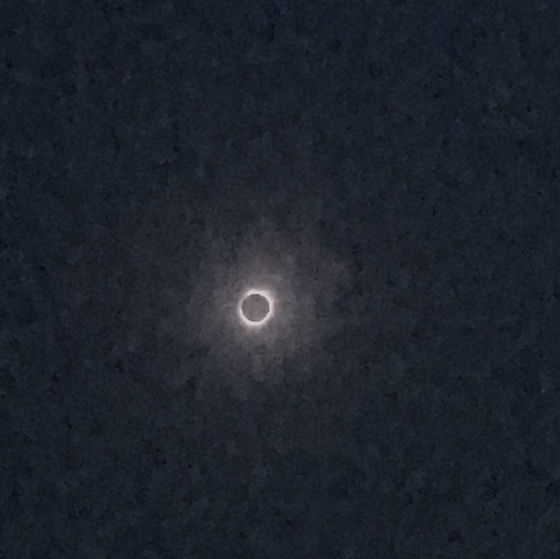
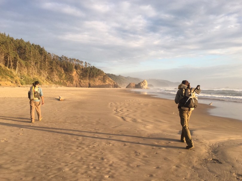
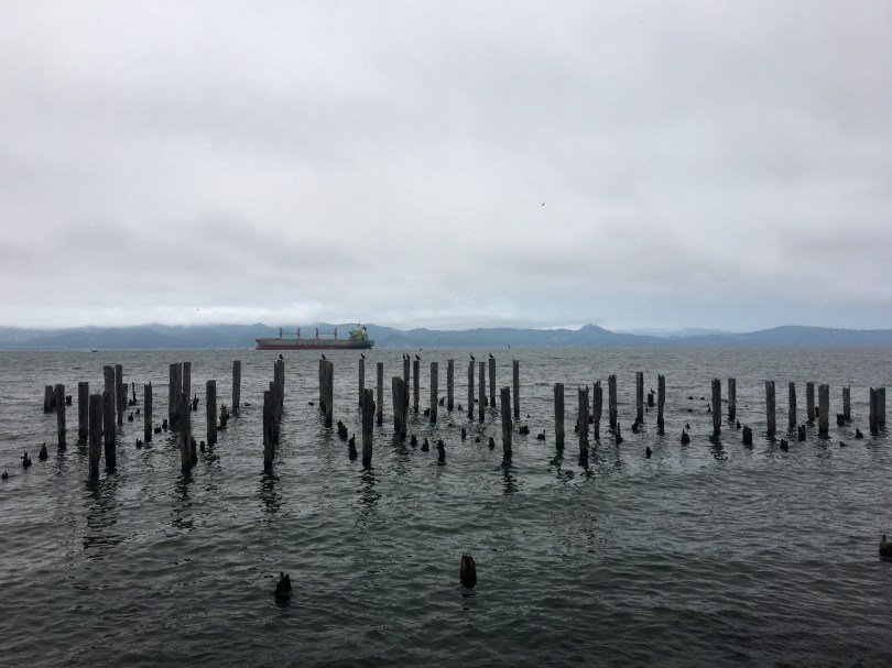
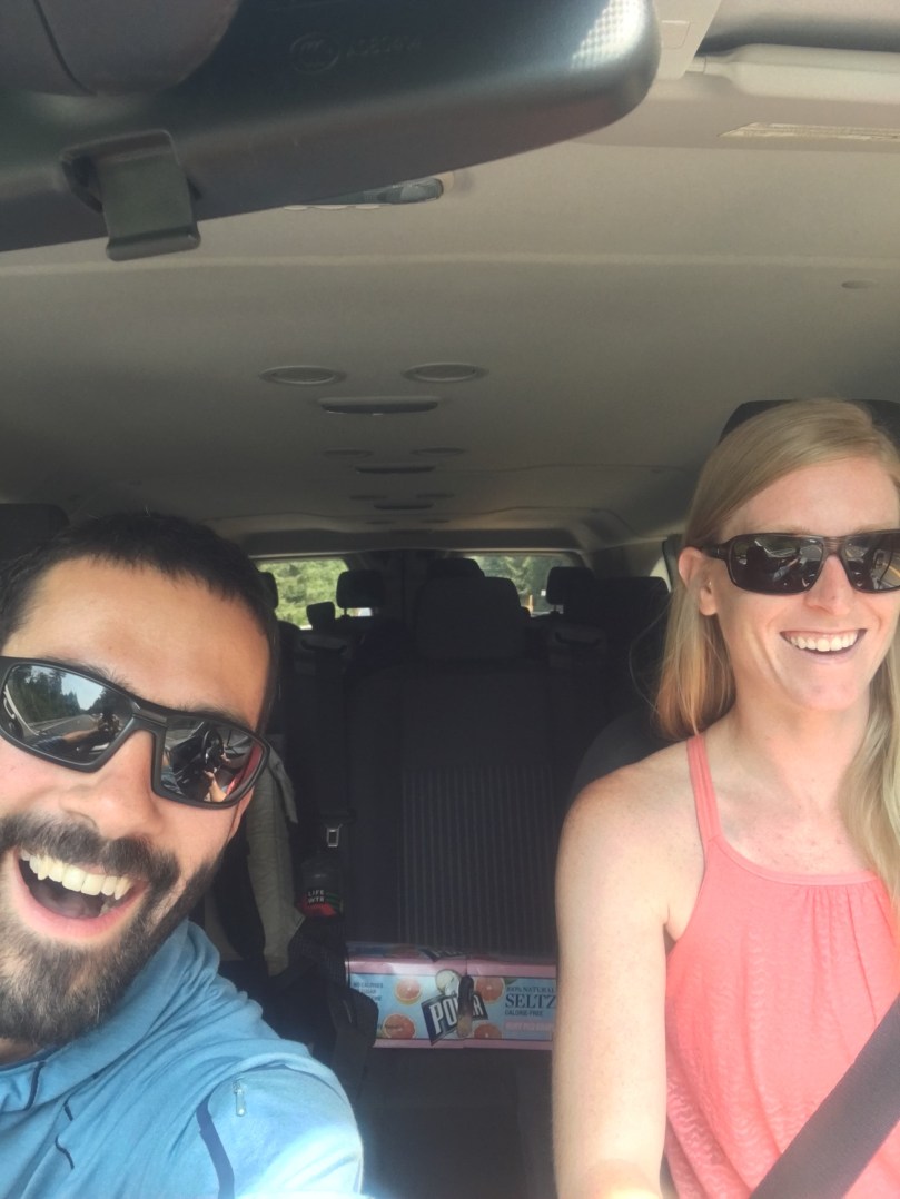
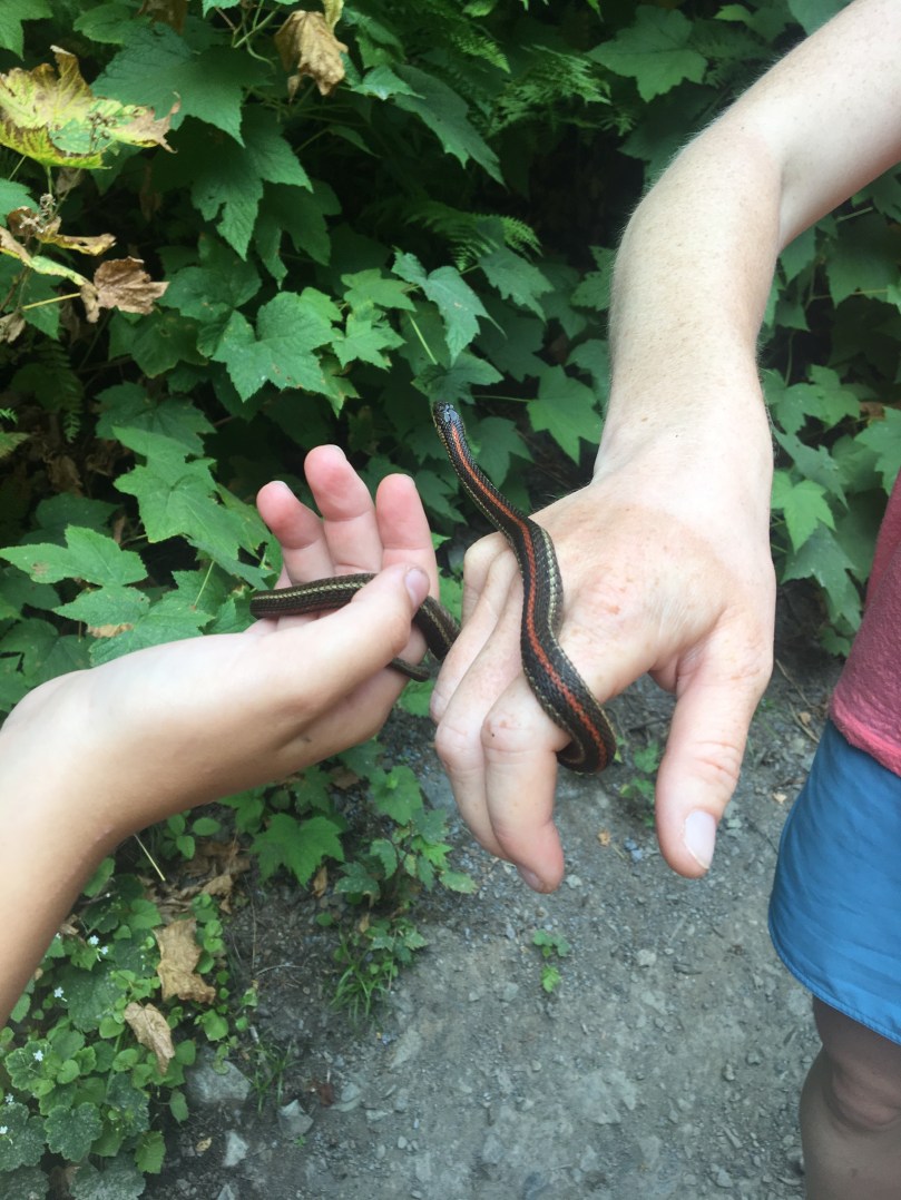
A little late on this post due to weak cell signal or functional wifi anywhere this week. Also, sorry, photo captions are not working in iOS WordPress app at the moment. Or I can't figure them out. Feel free to imagine some captions…

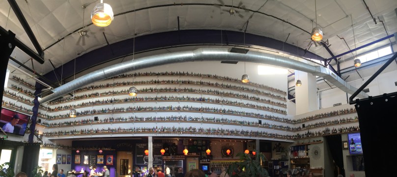
7/19/17 – Finished up with our resupply tasks today, then ventured down to Caldera Brewing. Great food and about 45 beers on tap. They are also home to the largest bottle collection in Oregon. It's great to be in a "big" (read: college) town for the first time since San Francisco. And usually I am not a city person, but all the time in the woods is clearly having its effect. Enjoyed some beer and then decided to take another day off to check out the downtown Ashland area.

7/20/17 – Felt great sleeping in again! And nice knowing our town chores are complete, for most of Oregon. After a lazy morning in the hotel, we walked downtown and wandered about for a few hours. Explored the hipster shops and hippy watched for a bit. When that got exhausting we bussed back to the hotel, and continued resting our muscles. From here, it's a several day push to Bend, OR with not much in between but some lodges where our resupply packages are.

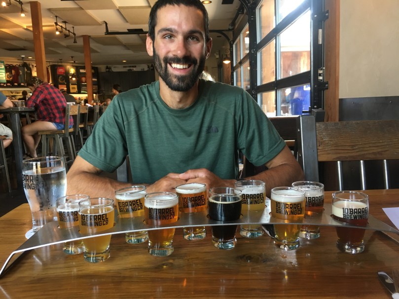
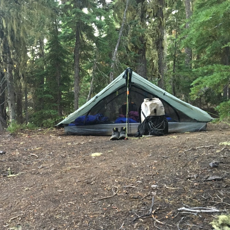
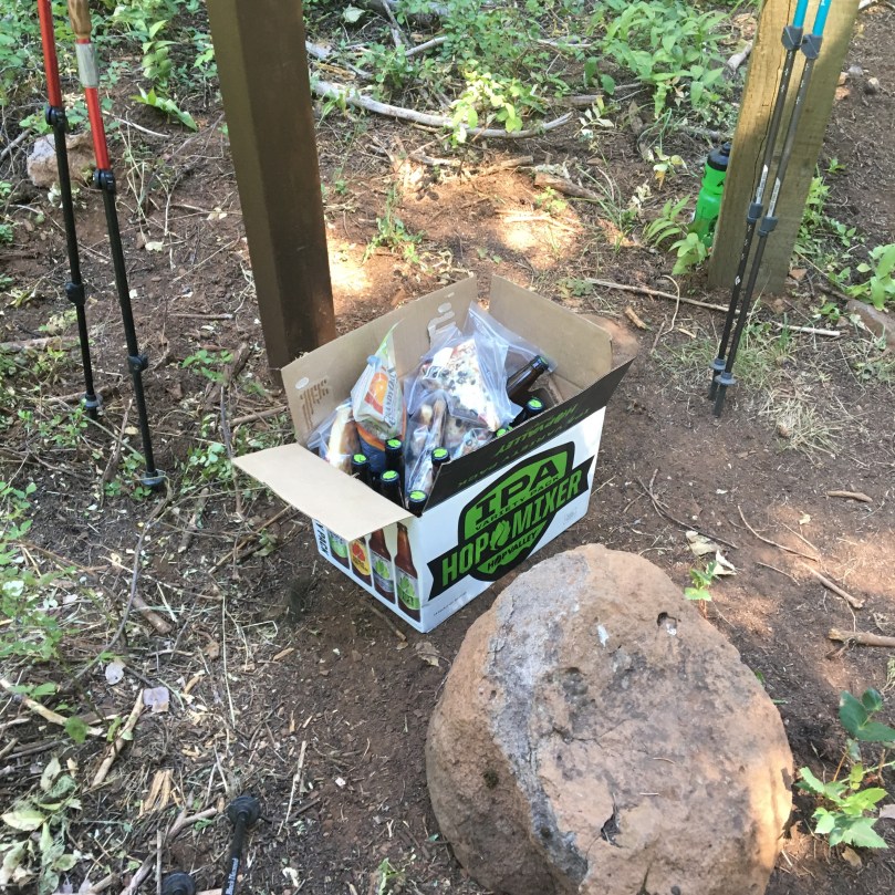
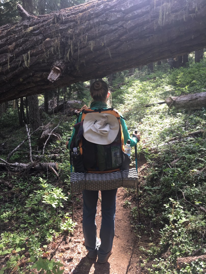
7/21/17 – Slept in a little but we were both ready to hit the trail this morning. We had to wait for a taxi unfortunately, but got to the trail before noon. Hiked just about 15 miles in and camped at mile 1729.6 near Pilot Bluff. Brought a couple 10 Barrel brews with us, totally worth the weight and pack out!

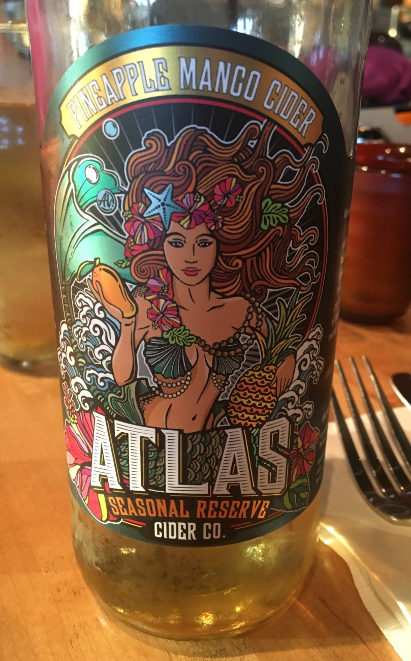
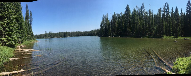
7/22/17 – Easy day of hiking, did about 9 miles before our first break then another 7. Water a little more scare now, so we camped by it at mile 1752.8. There does however seem to be an abundance of on trail beer here in Oregon.

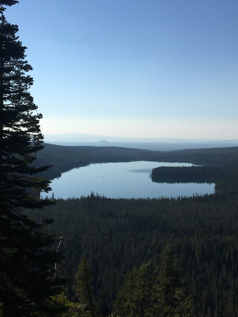
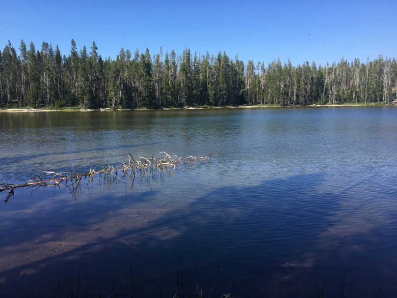
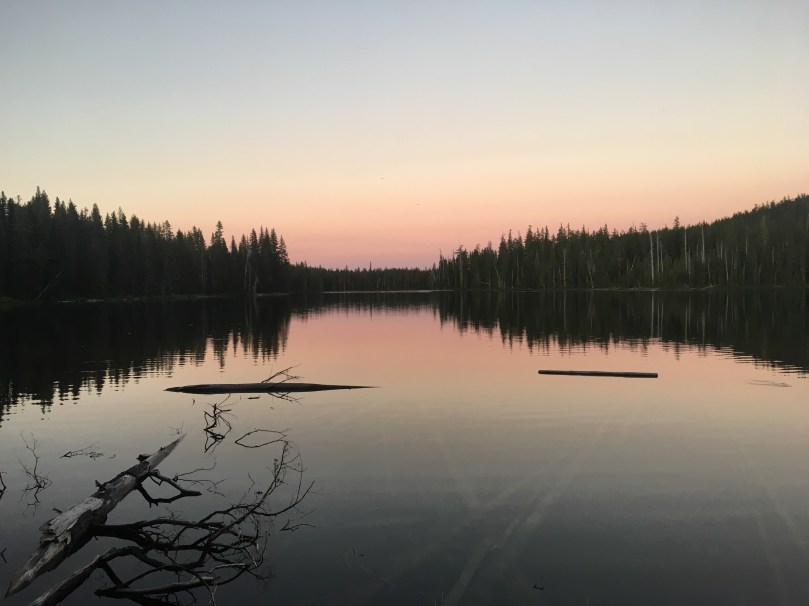
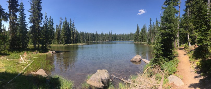
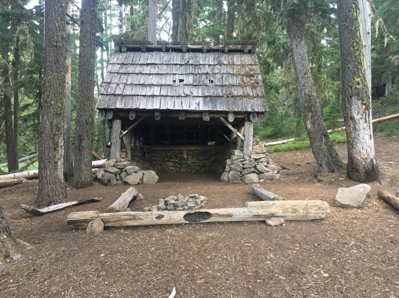
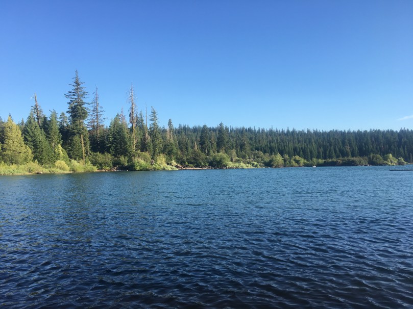
7/23/17 – Back into the swing of things for the most part, pulled an easy 20+ mile day. We picked up our package from Fish Lake Resort early afternoon and the lake was just too inviting not to spend the night. Enjoyed the rest of the evening by the lake – we've been craving another lake to relax by. Stayed in a rustic cabin a little ways off trail of mile 1770.9.

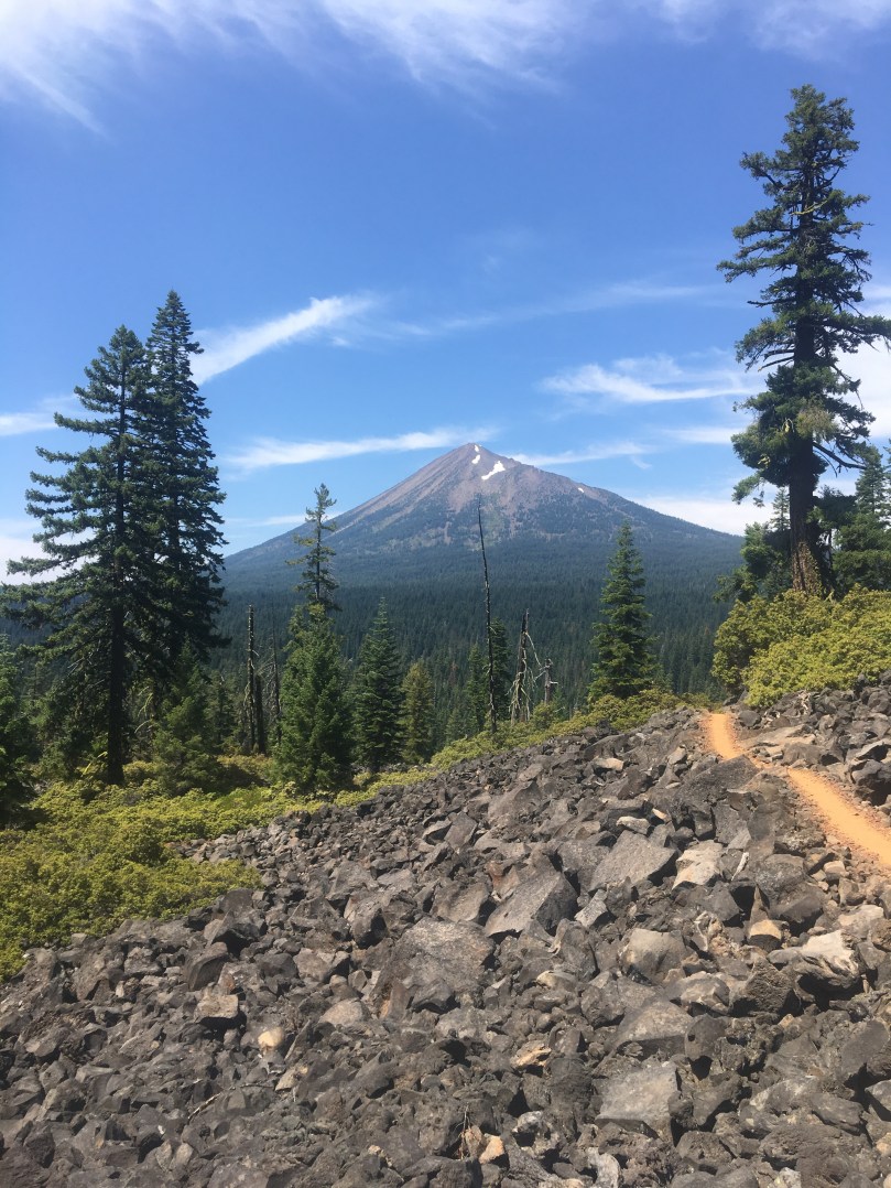
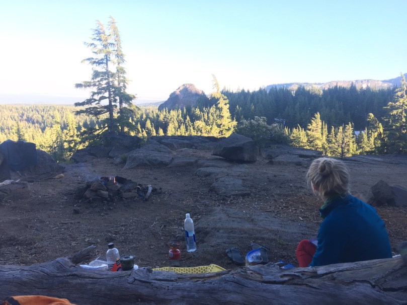
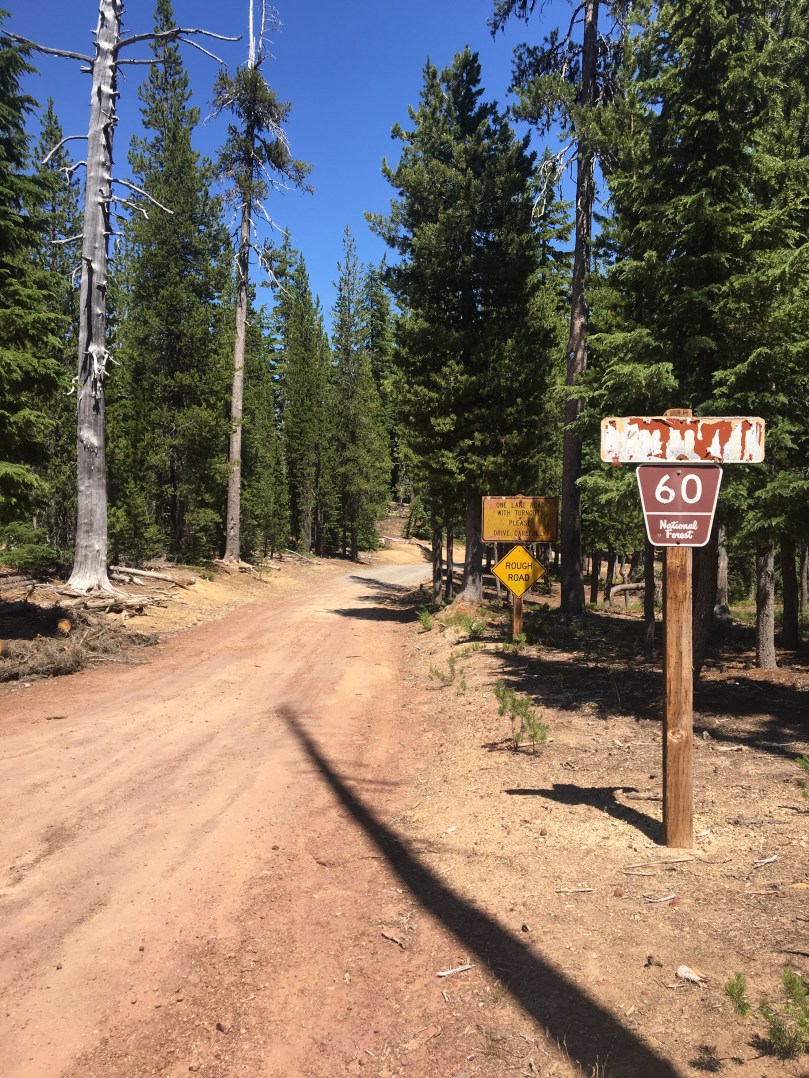
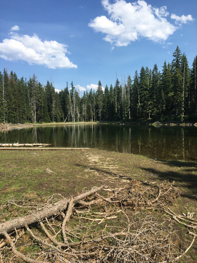
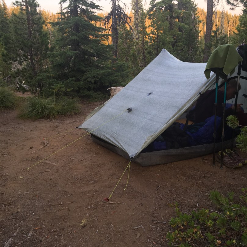
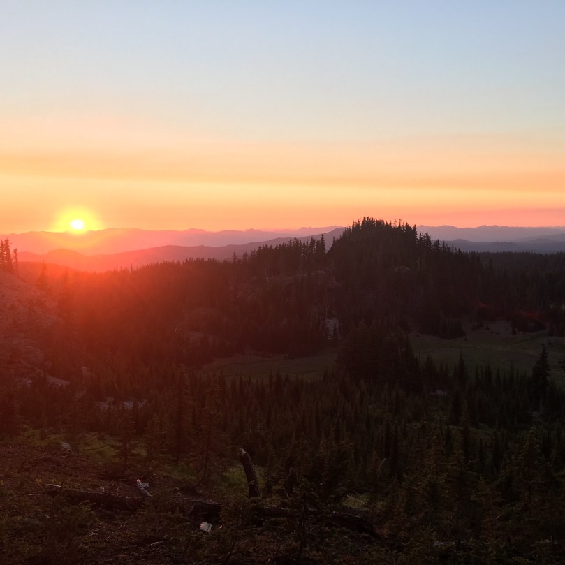
7/24/17 – Slow start to the day, but worth it to chat with some nice folks we met. Hiked the two miles back up to the PCT then onwards north another twentyish miles. Longer stretches up here without water, must be why they call it the "desert." I always assumed it was more like eastern Oregon. By 6:30 or we found a nice campsite on a saddle, flat spots, views, and even cell service. Set up the tent and cooked dinner just in time for a thunderstorm to roll in. Mile 1791.

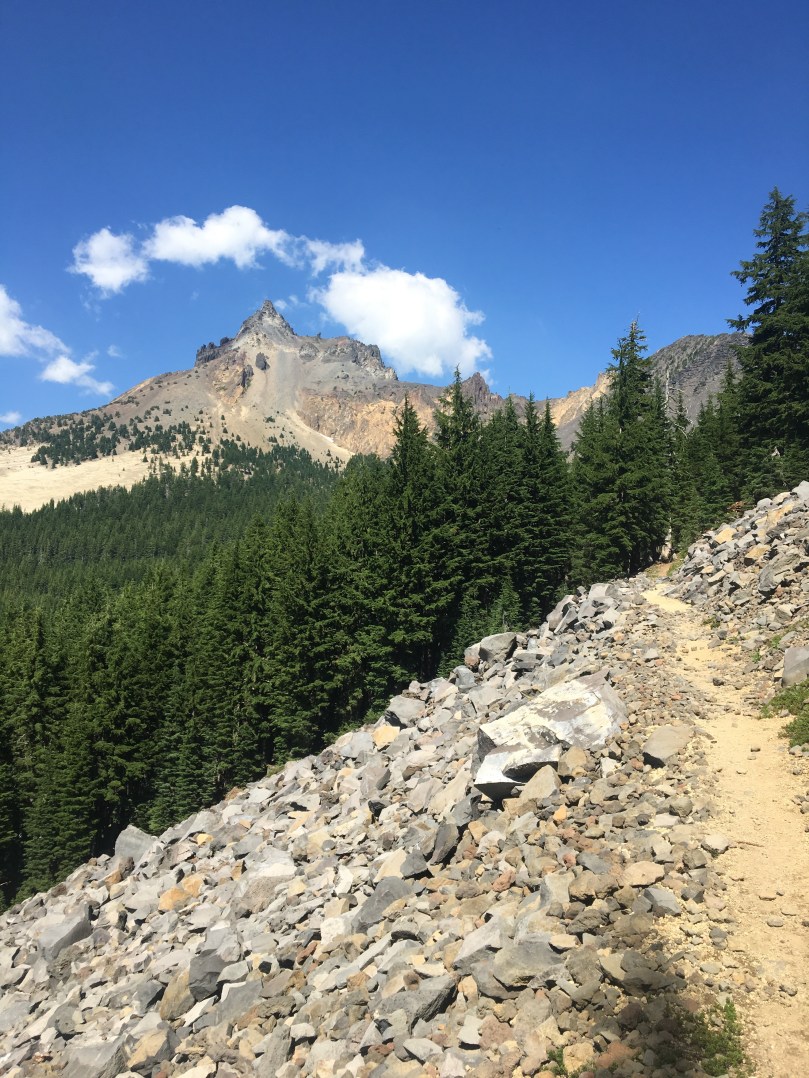
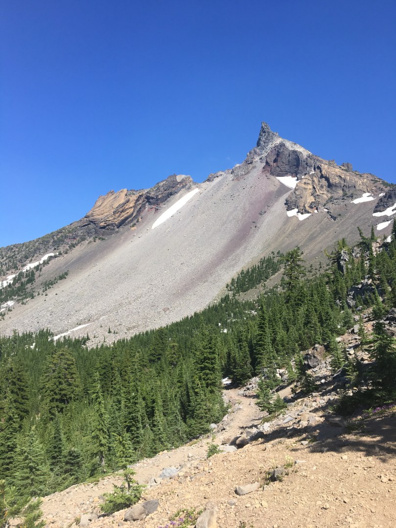
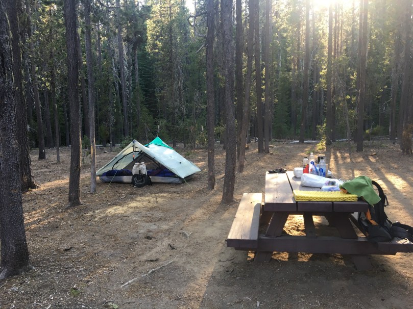
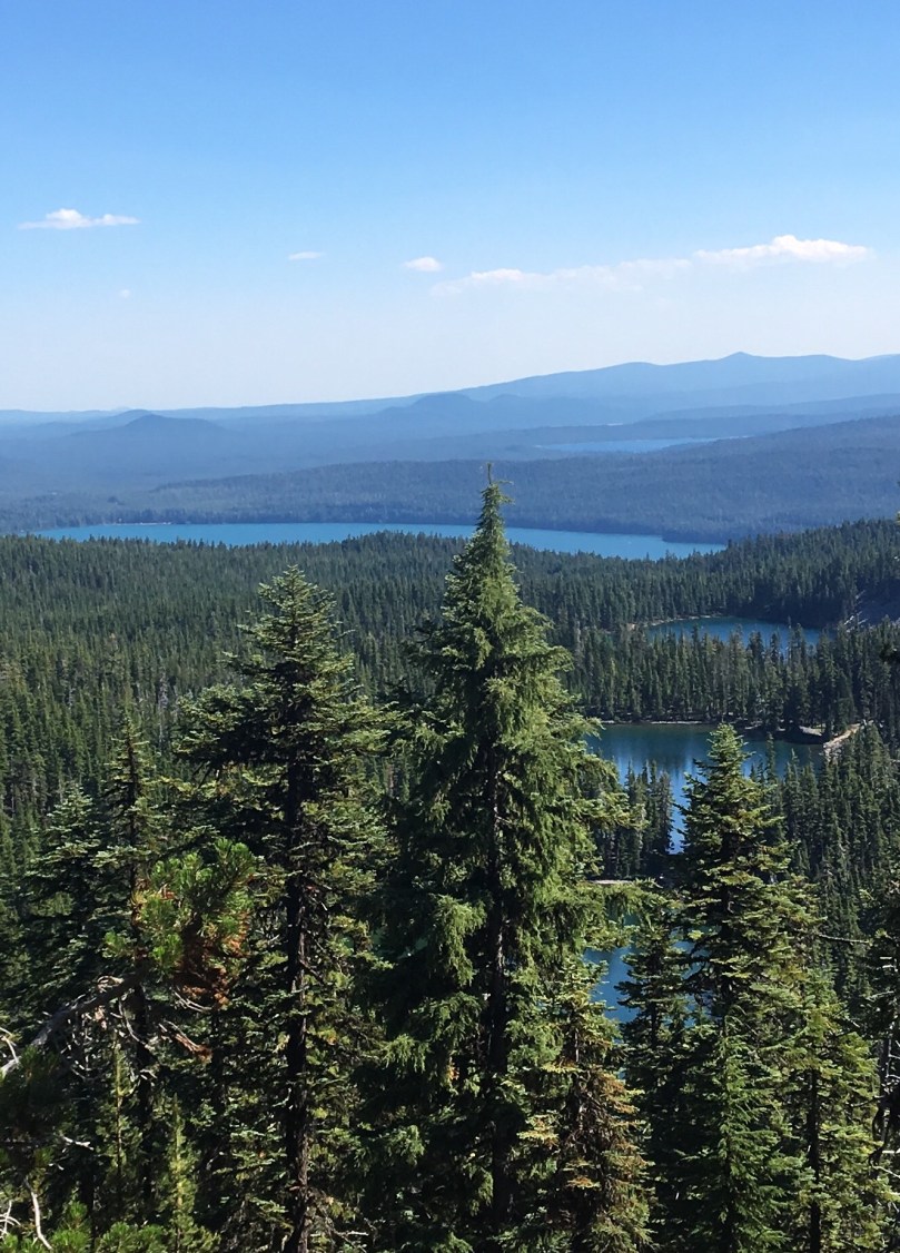
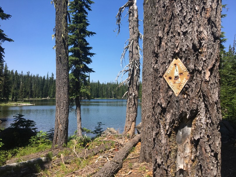
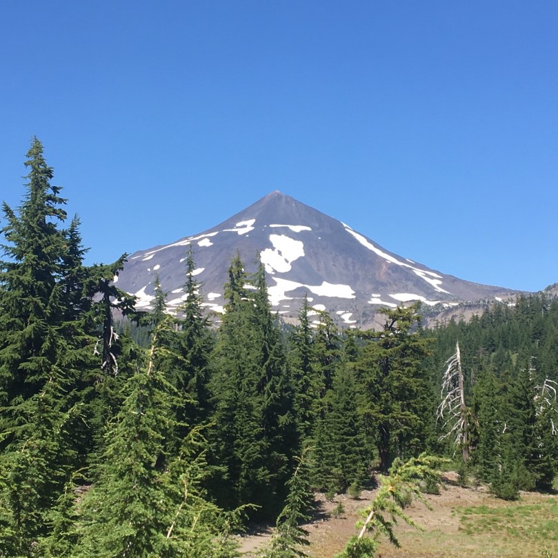
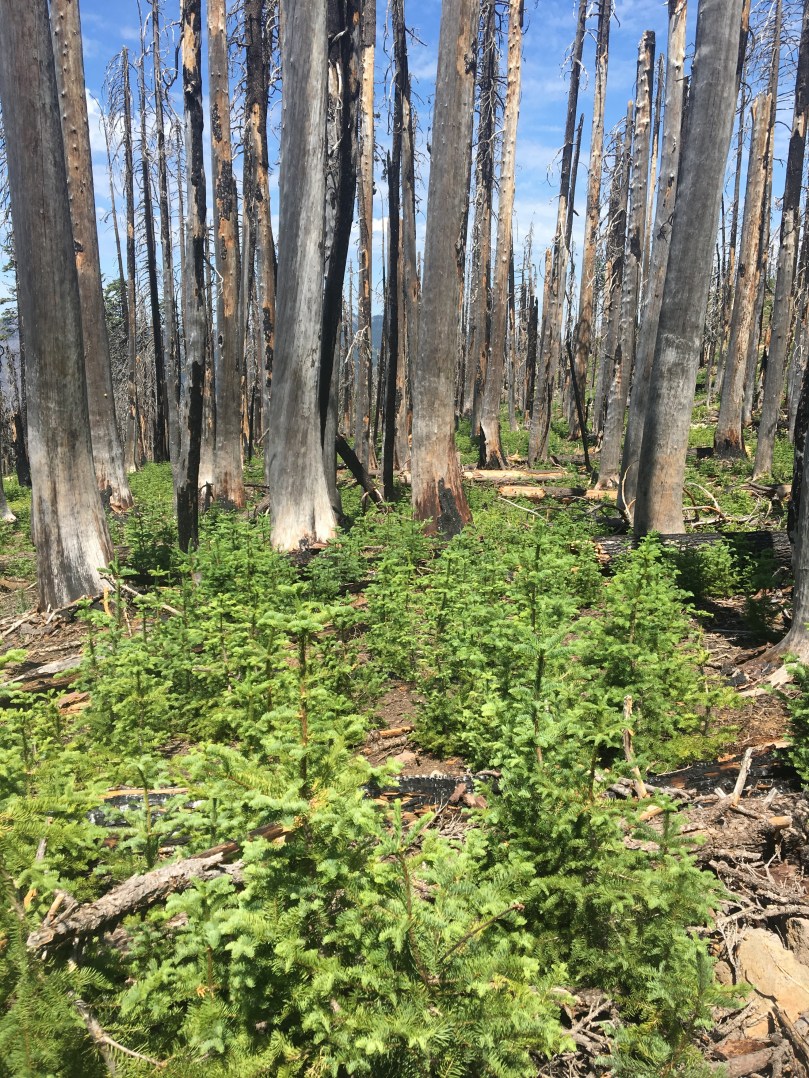
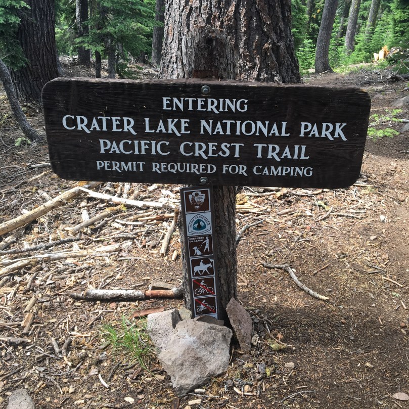
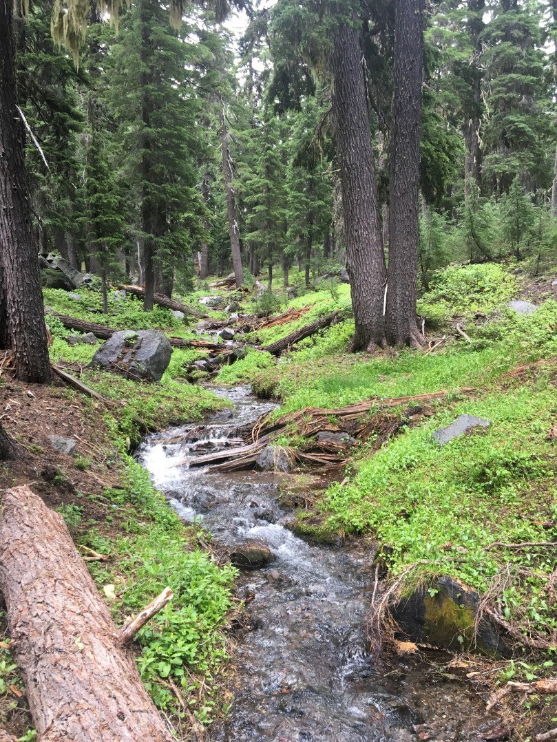
7/25/17 – Solid 29 mile day today! Started out with a couple mosquito filled segments but by lunch they had died down. Long dry stretch today, trusted a week old water report update on a seasonal stream which tuned out to be dry. Thankfully we just had another three miles to go to the next one. Heard lots of thunder the last several miles, but the weather held out for us. Camped as soon as we found a flat spot near the water, at mile 1820.2. We are both excited to be just a few miles from Crater Lake itself and to walk the rim tomorrow!

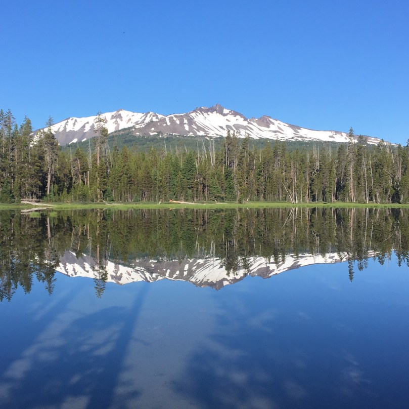
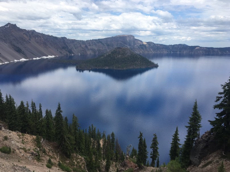
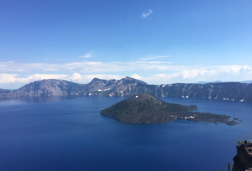
7/26/17 – Woke up to some rain around 2 am, it lasted until about 9 am so we slept in and waited it out. The PCT bypasses Crater Lake itself, so we headed up the rim walk alternate route – it's actually about five miles shorter! But did involve a nice morning climb up to the rim. Found our way to the cafe and waited out the rest of the clouds sipping on coffee (they offer unlimited refills!). As the sun broke through, we started leisurely hiking the rest of the west side of the rim. It was hard to leave the lake, but we eventually descended a bit and rejoined the PCT, where we camped at mile 1838.3.

7/27/17 – Easy 7 mile walk to Highway 138 today, the north end of Crater Lake NP. We barely had cell service, but got through to Diamond Lake Lodge and the friendly maintenance guy came out to pick us up at the trailhead shortly after. Didn't make it in time for breakfast so we got our resupply box and mowed down on some hiker food, showered, and dried out the tent. By then the patio bar/grill had opened so we went down to the lake and had a burger and beer. Bought some ice cream, more beer and after chatting with some other folks, retreated to our room to indulge and relax.