6/29/17, Mile 1407.2, Burney Mountain Guest Ranch, CA

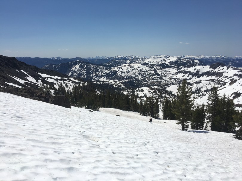
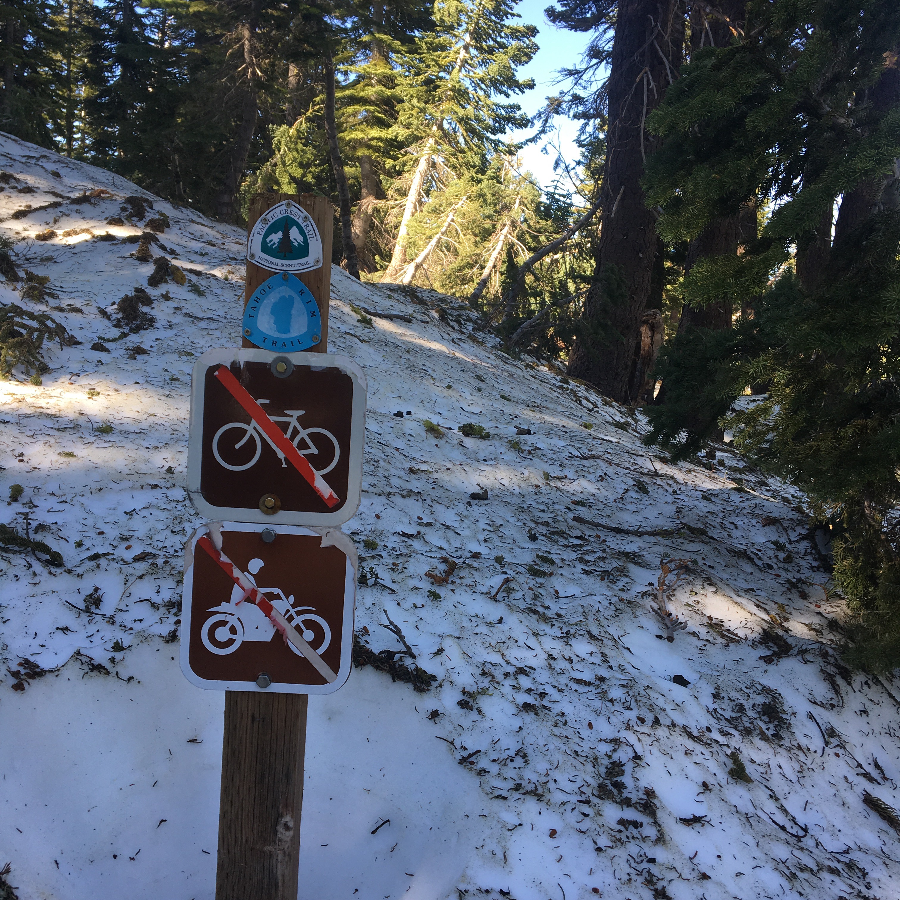
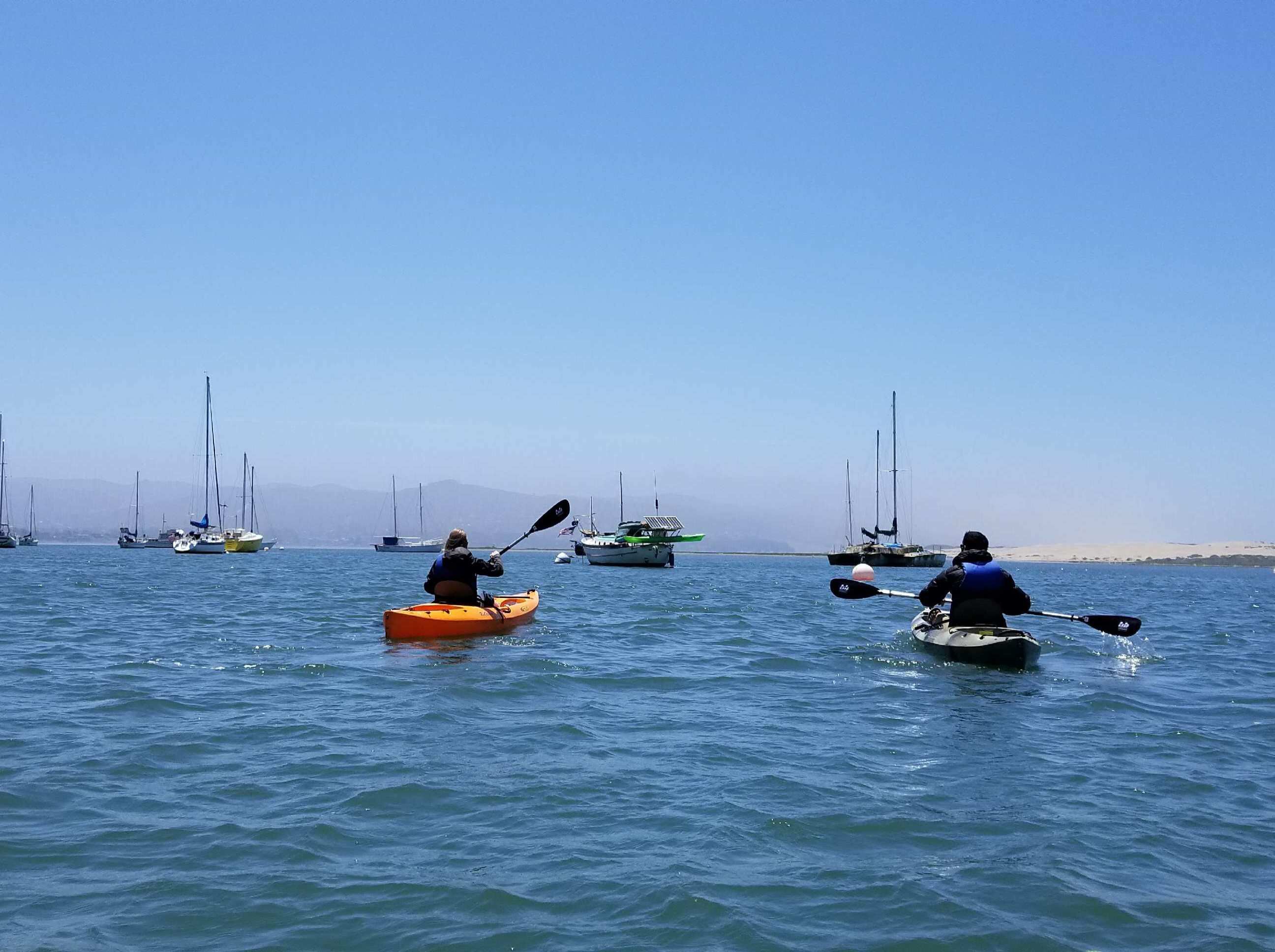
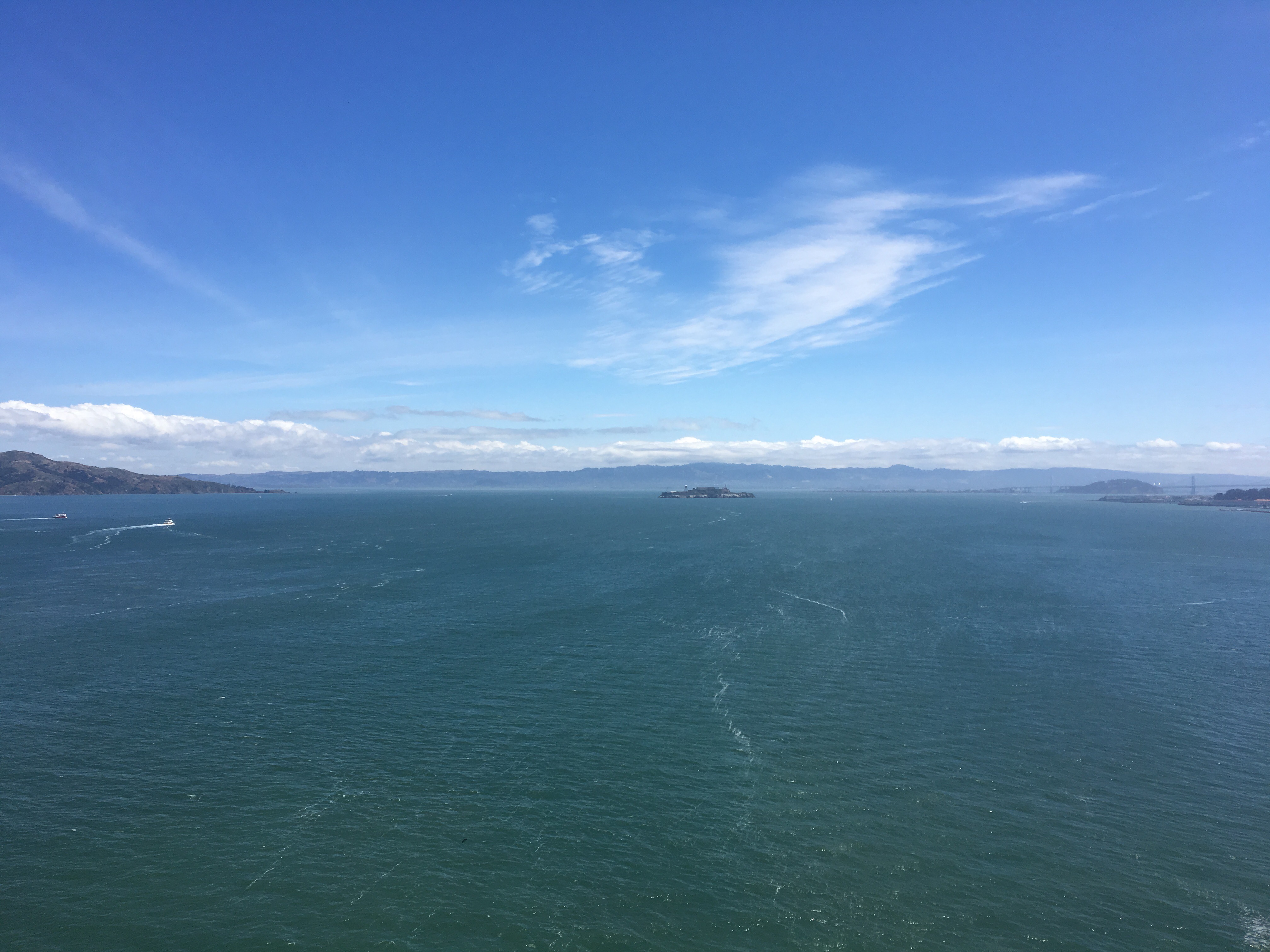
6/18/17 – Back on the trail at mile 1092.3, Echo Lake.  Snow covered after about 2 miles, snow was the same slush all day.  Used Gaia GPS and Guthook to find our route.  Warmer than we expected, doesn’t seem to be dropping below freezing up here at night.  Found a couple of other thru hikers that skipped ahead as well and a section hiker.  We all camped in the snow on the banks of thawing Lake Aloha, mile 1098.4.

Echo Lake
The best path we had this section, thanks day hikers!
Sunset from Aloha Lake

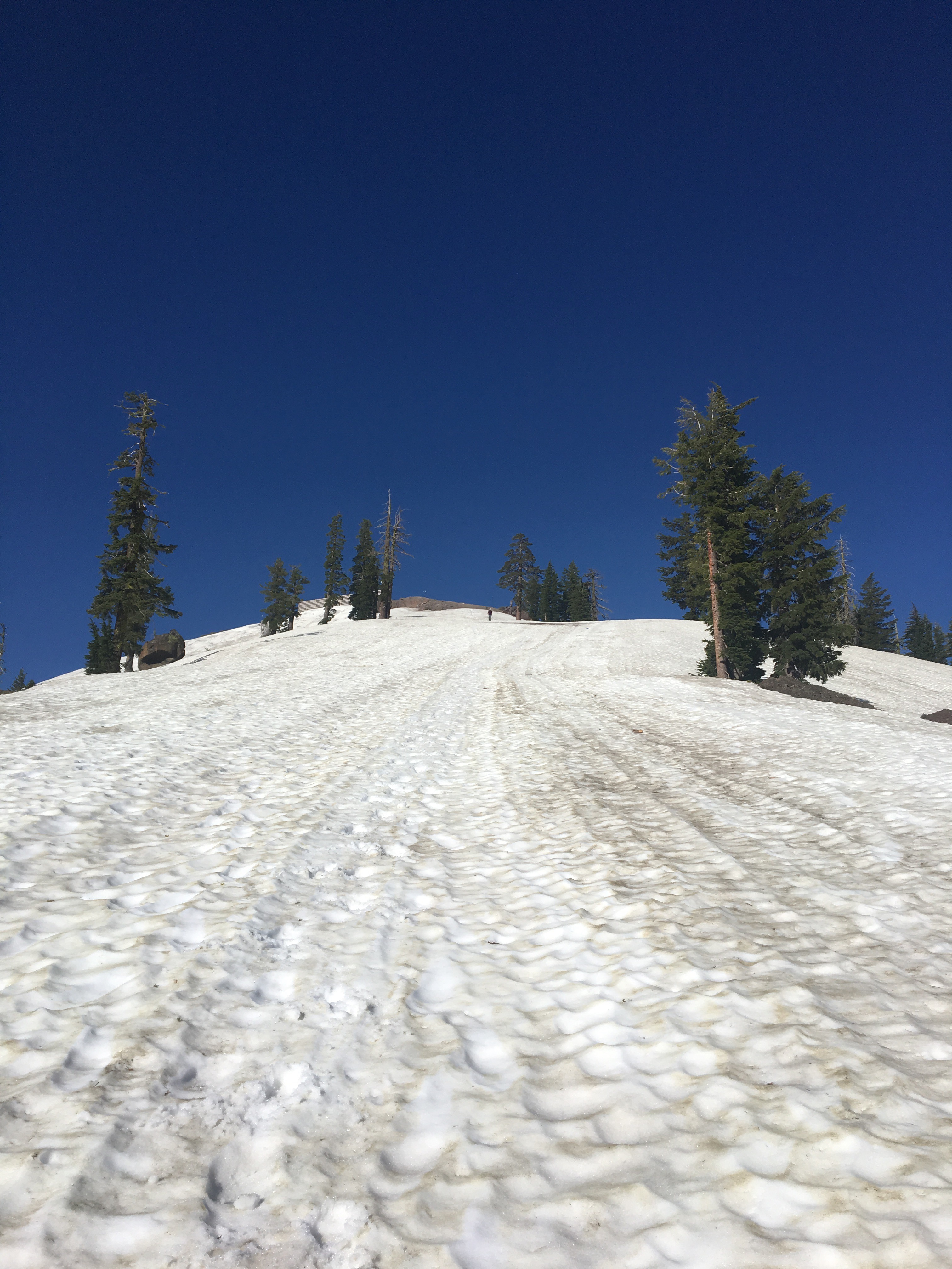
6/19/17 – Started early and finished Dick’s Pass before noon.  A few feet of trail exposed here and there, but mostly snow covered.  Snow was same slush all day, didn’t seem to get much worse in the afternoon.  Compass/apps to find route, or footsteps of hikers in front of us.  Had a couple river crossings and reroutes due to flooded areas.  Camped in a nice dry patch at mile 1112.3.

Found a snow free pocket to camp in.

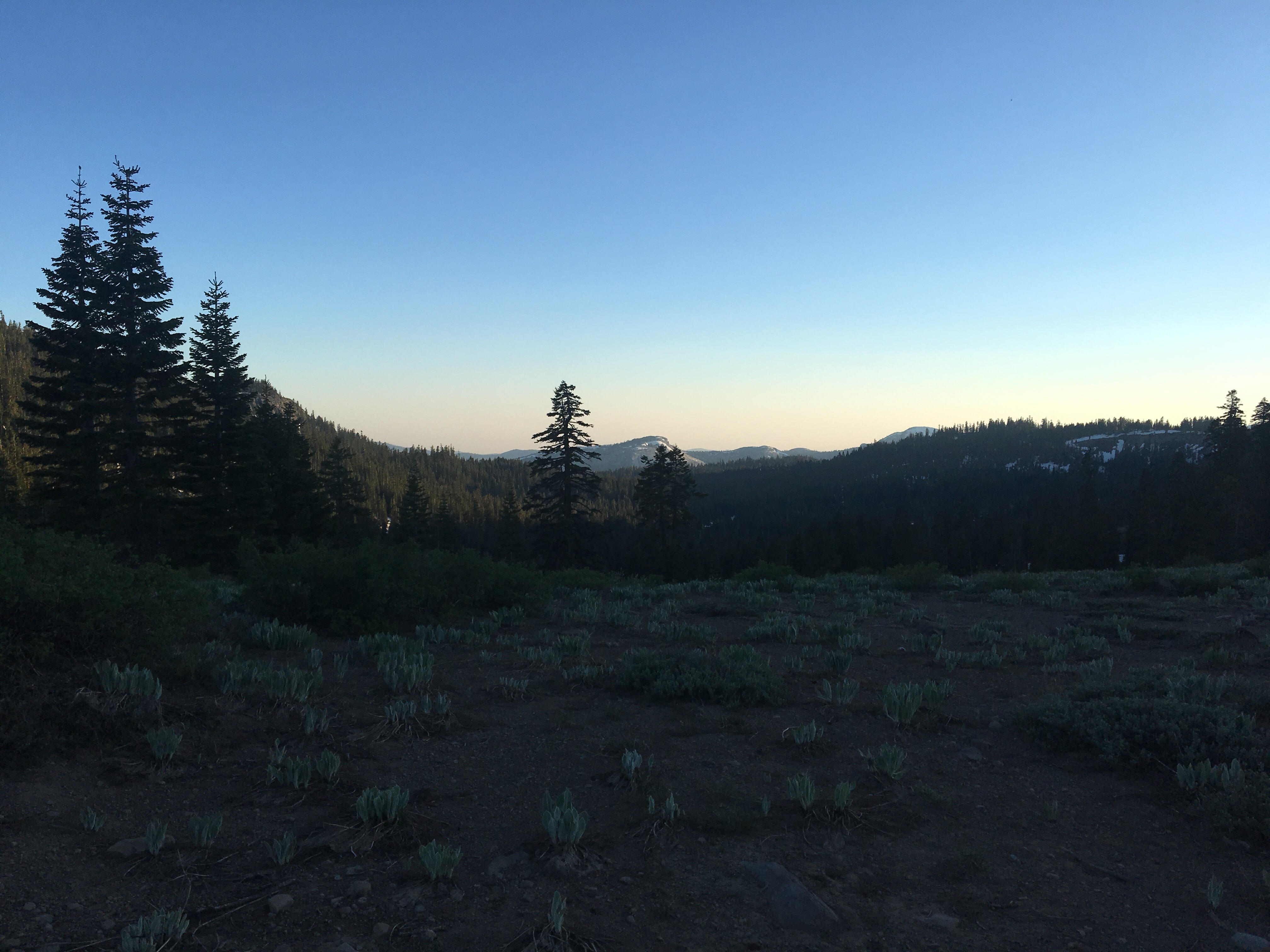
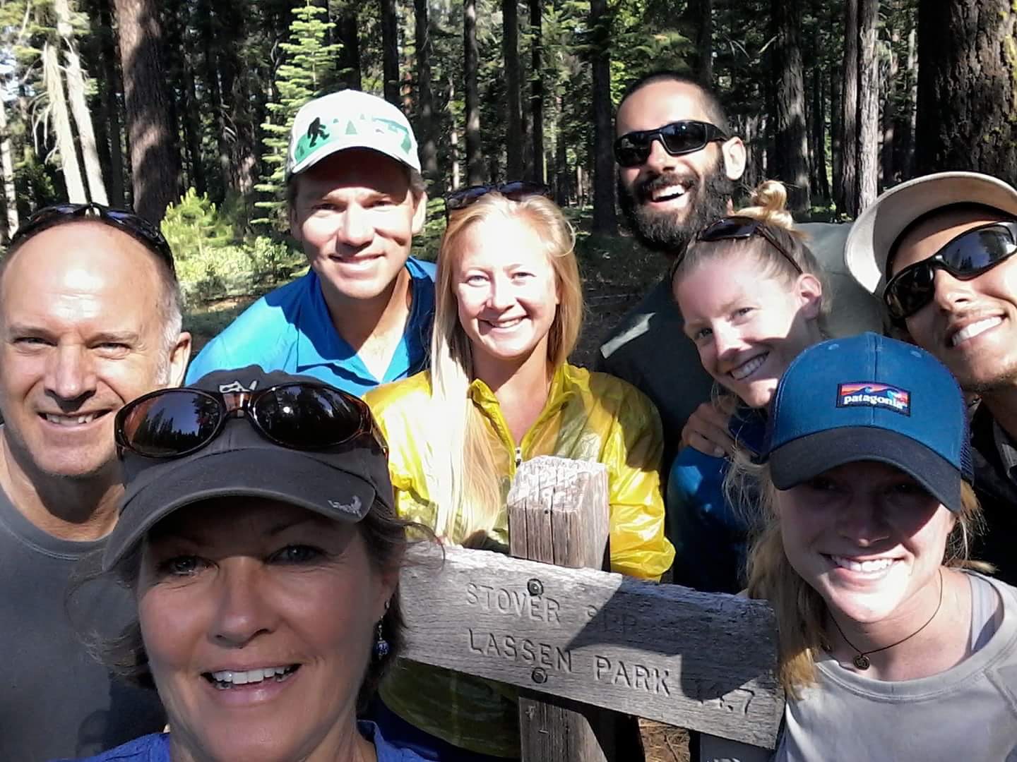
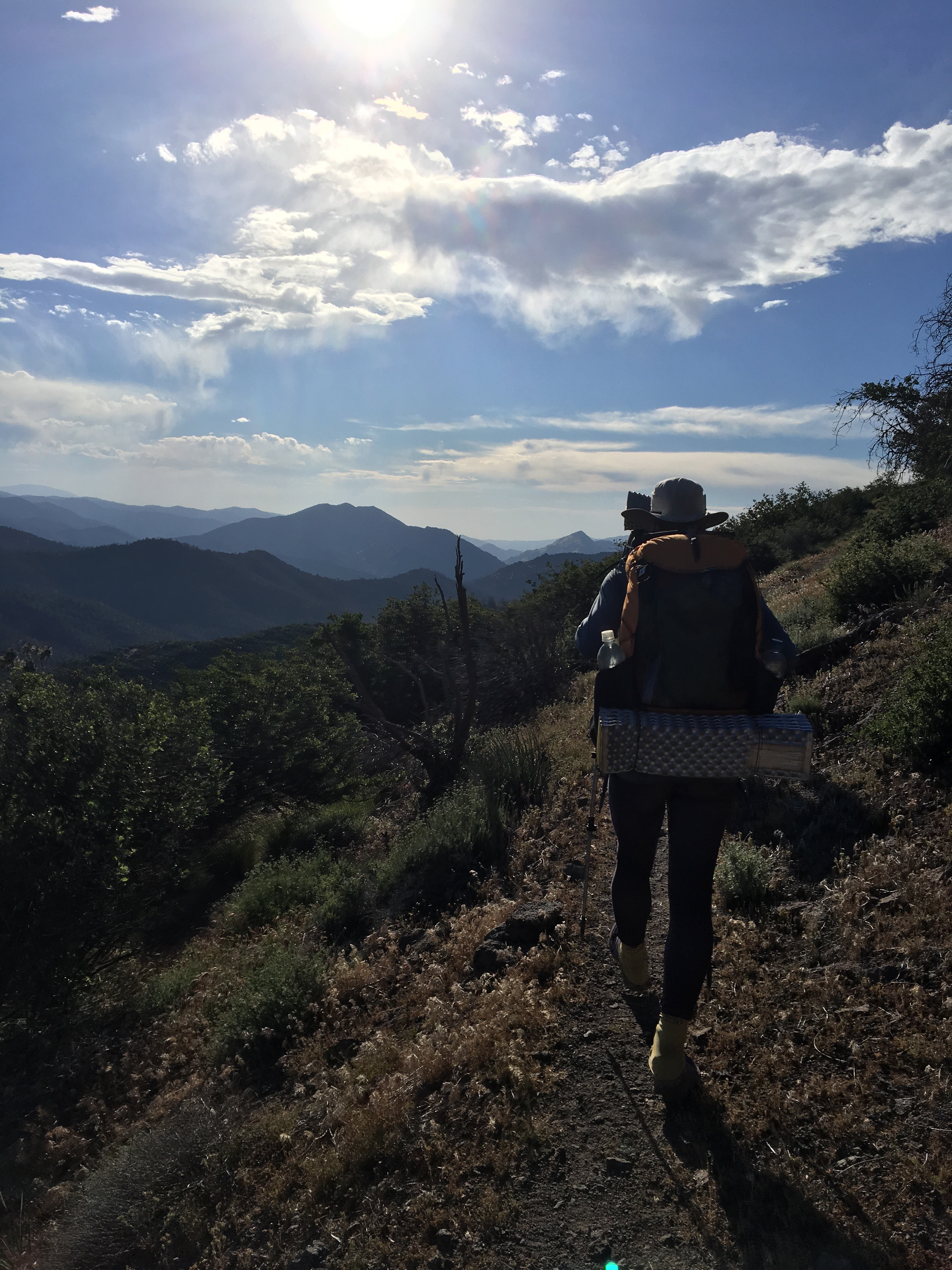
6/20/17 – Started the morning crossing Phipps creek – 0.3mi upstream log goes most of the way across for now.  A little exposed trail here and there around 7500′.  Crossed a few more creeks and had our first waist deep one – there’s a section ~0.3 upstream before the two creeks combine that was slower.  Met up wit Double D and Tops and hiked for the rest of the day.  Plenty of dry, flat places to camp up on Barker Pass.  Great views all around.  Mile 1124.8.

Edit

Trail starts here somewhere.

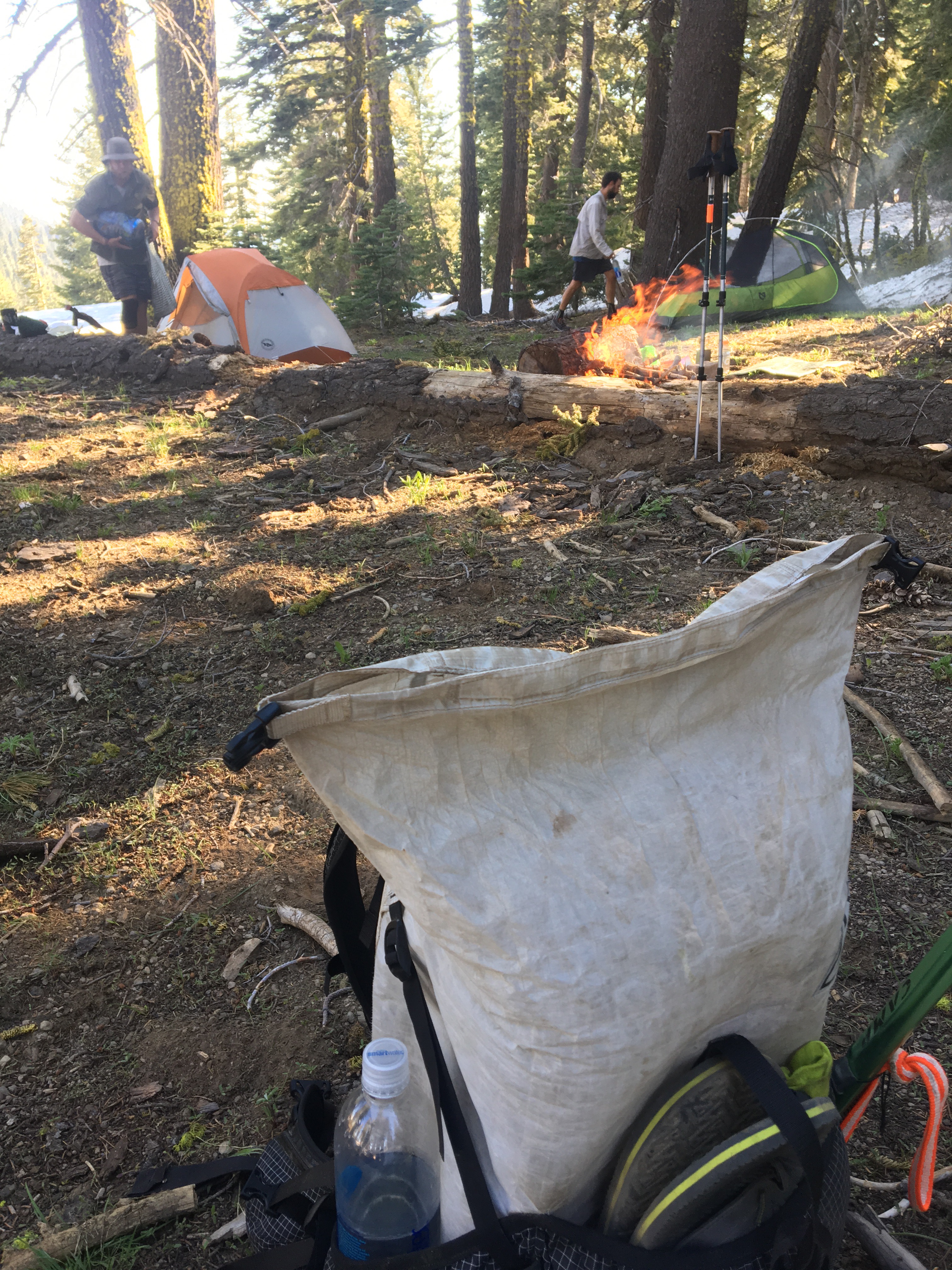
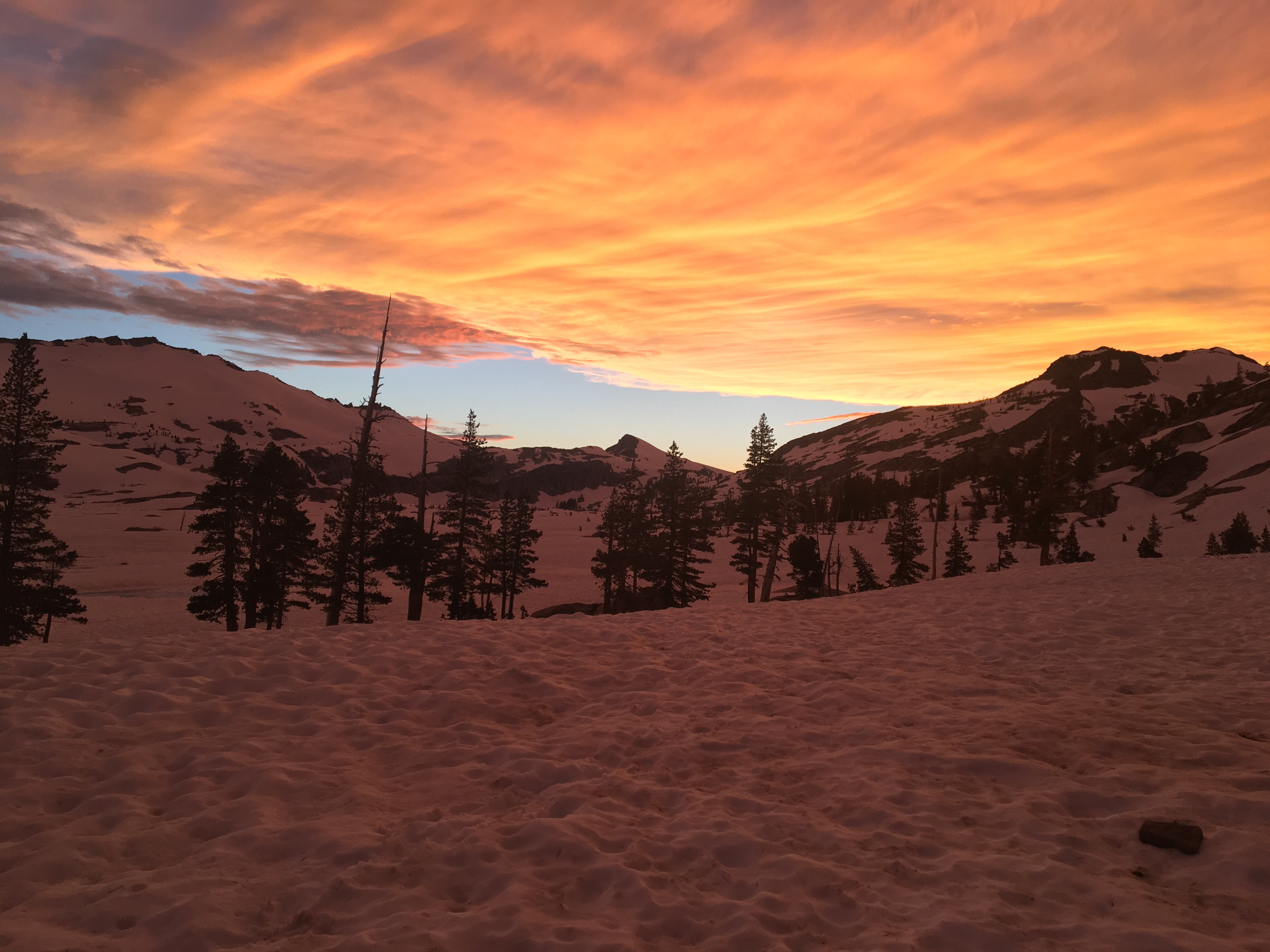
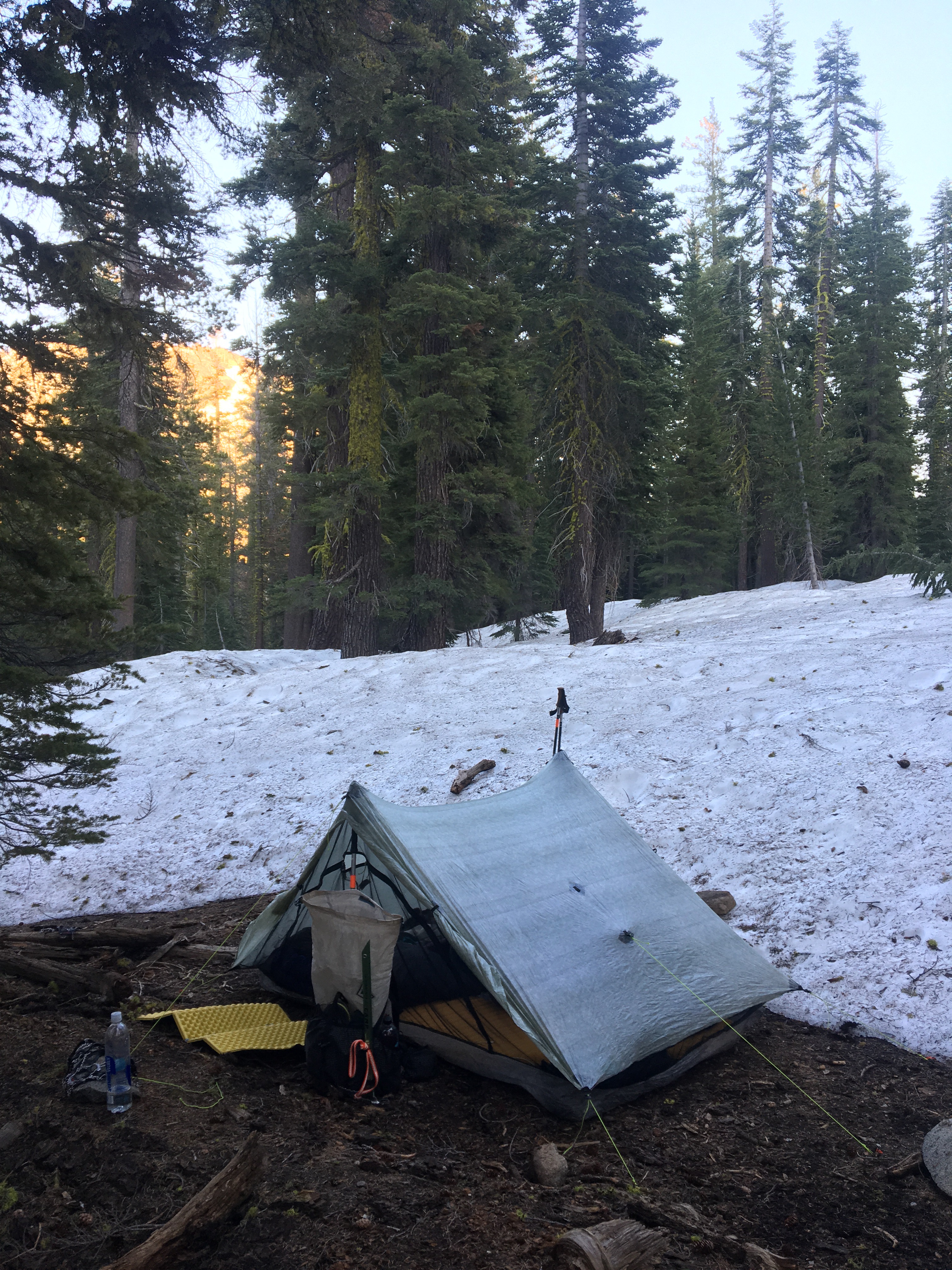
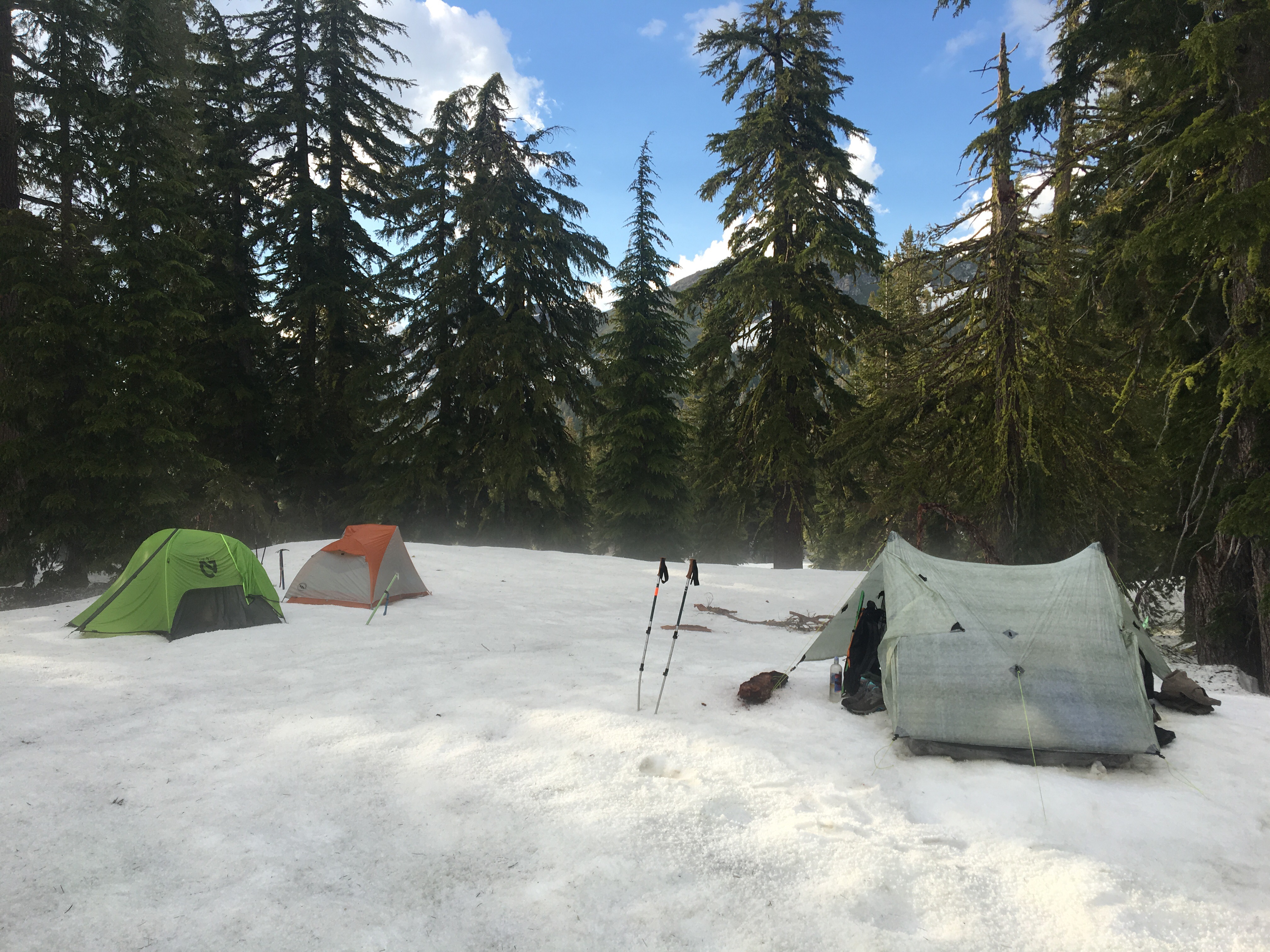
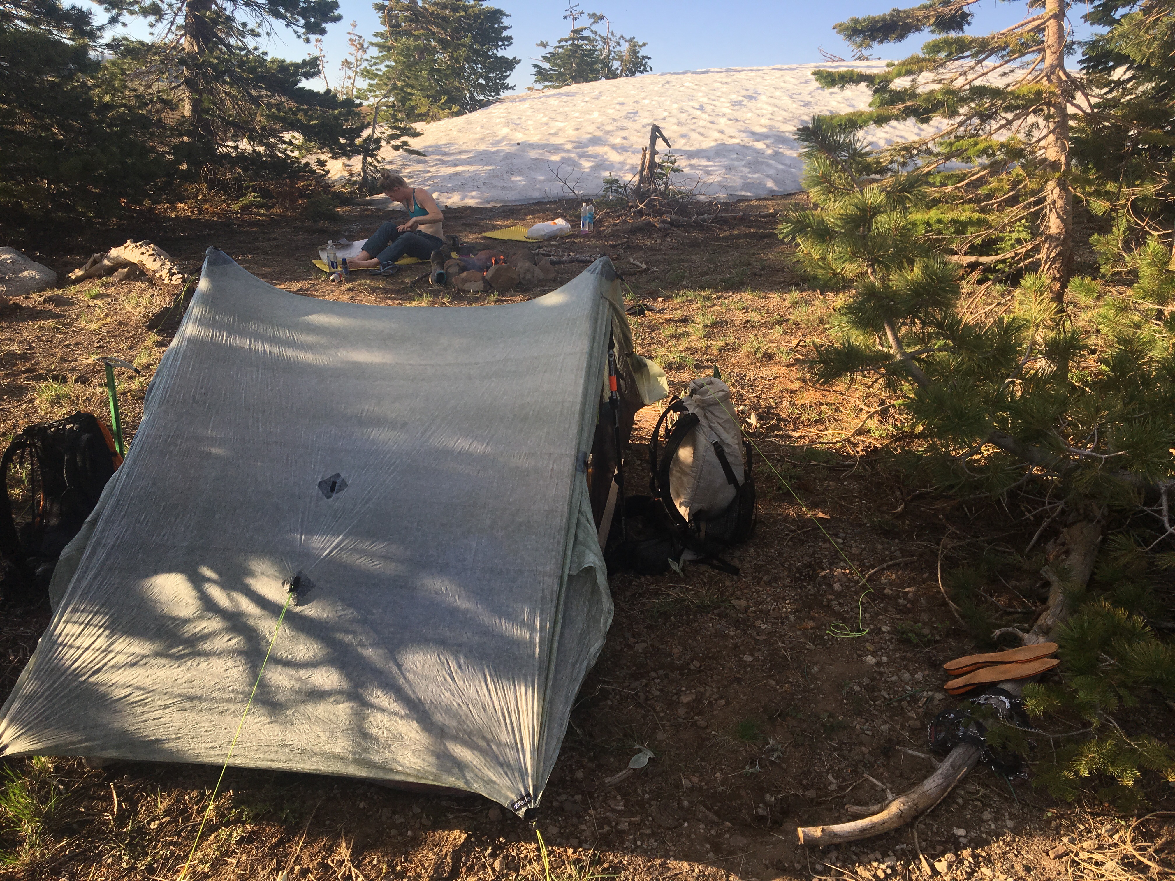
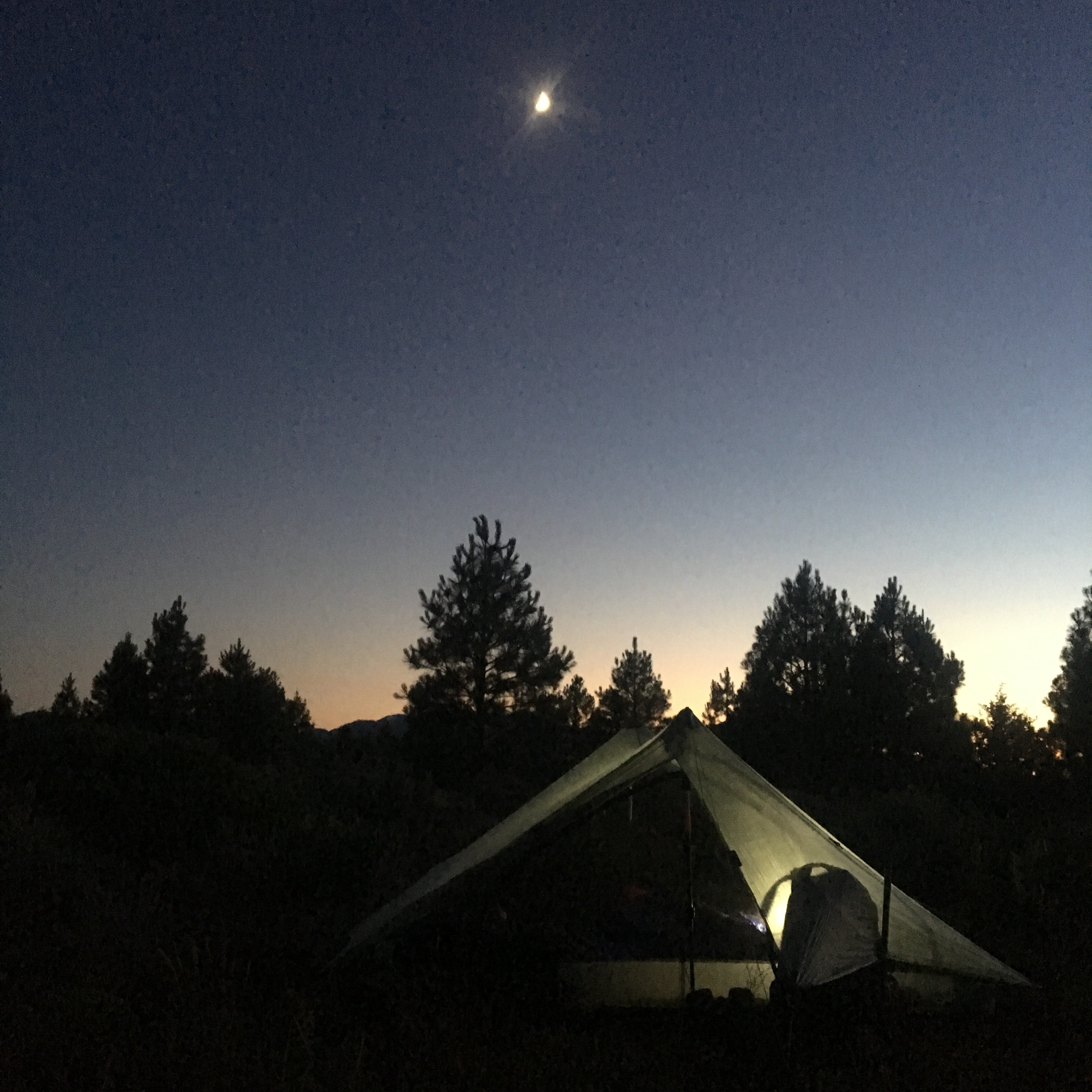
6/21/17 – Mentally and physically exhausting day today!  Started out right back into the snow making our own trail, descending steep switchbacks, avoiding tree wells and blow downs.  Caught up with DoubleD and Tops mid day. Lots of steep snow to traverse and some rock scrambling.  Around mid morning we hit some exposed trail on a ridge, nice for awhile until happened upon a snow chute covering the trail – thank you to Tops for leading and kicking in a track.  Descended pretty directly down to Five Lakes Creek – crossed where we descended, probably a mile or so downstream from the PCT – knee deep and not too fast.   Trail was expose for the next mile or so then turned back to snow as we climbed.  Found a place to camp in the snow at ~8000ft, mile 1139.1.  Hail storm rolled in as we were setting up camp!
​​

Not a fan of snow chutes with rocks and fatal fall potential.

​​
​​
Another night on the snow. It’s actually pretty comfy!

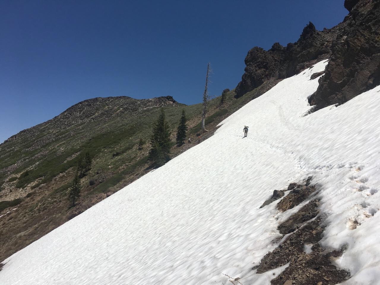
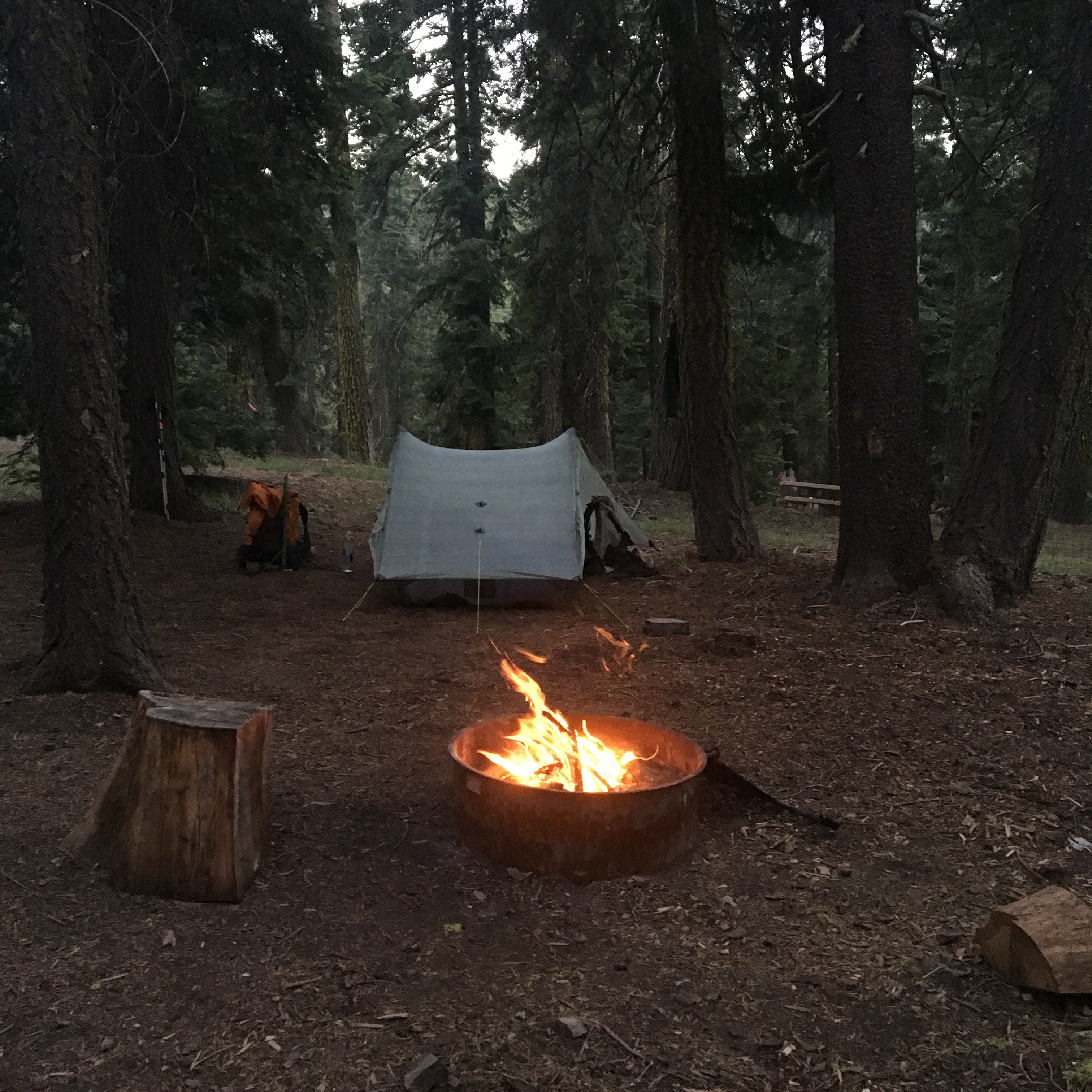
6/22/17 – Another day filled with snow, some trail visible in clear spots.  Lots of traversing, more sketchy snow chutes, etc – micro spikes and ice axe needed for sure.  While the day wore us down, we lifted our spirits by stopping a little earlier and making a campfire at mile 1149.7.

Tinder Knob in all its glory.
Selfies have been requested.

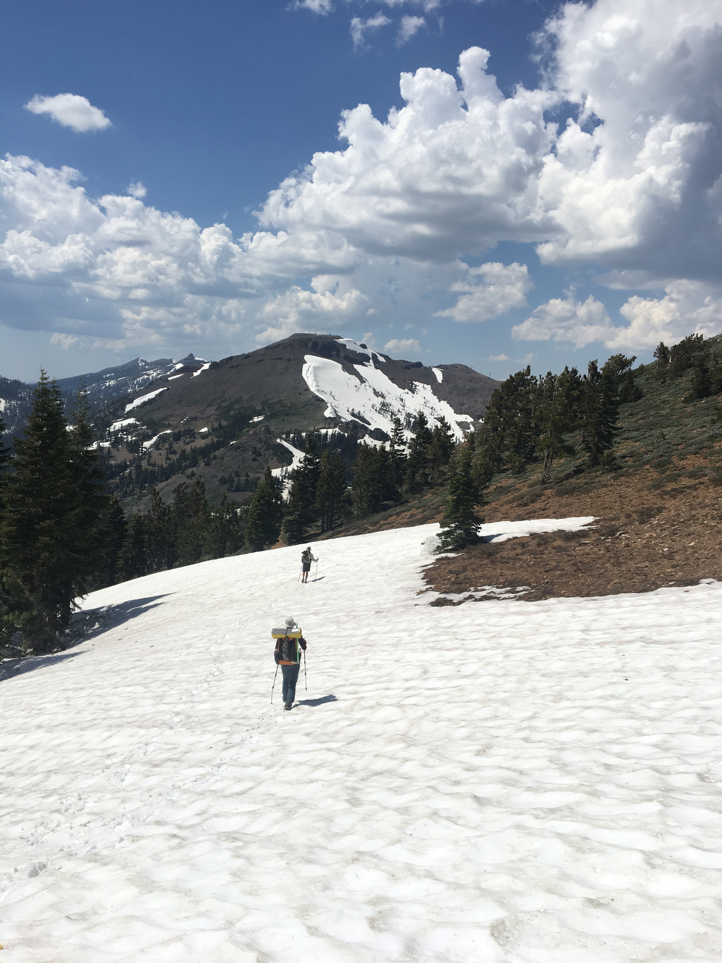
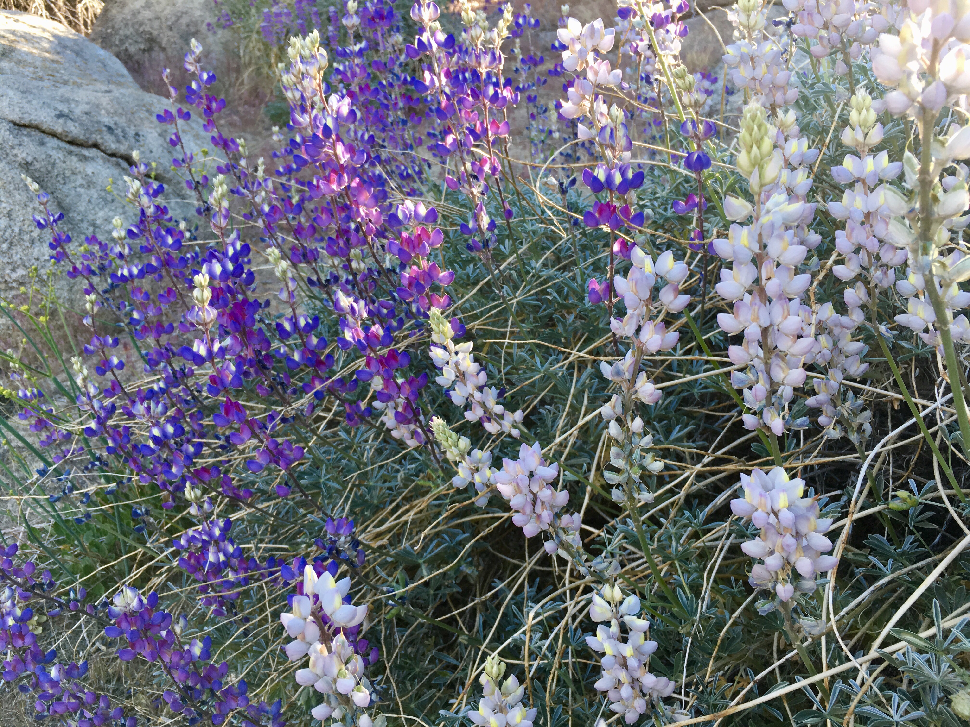
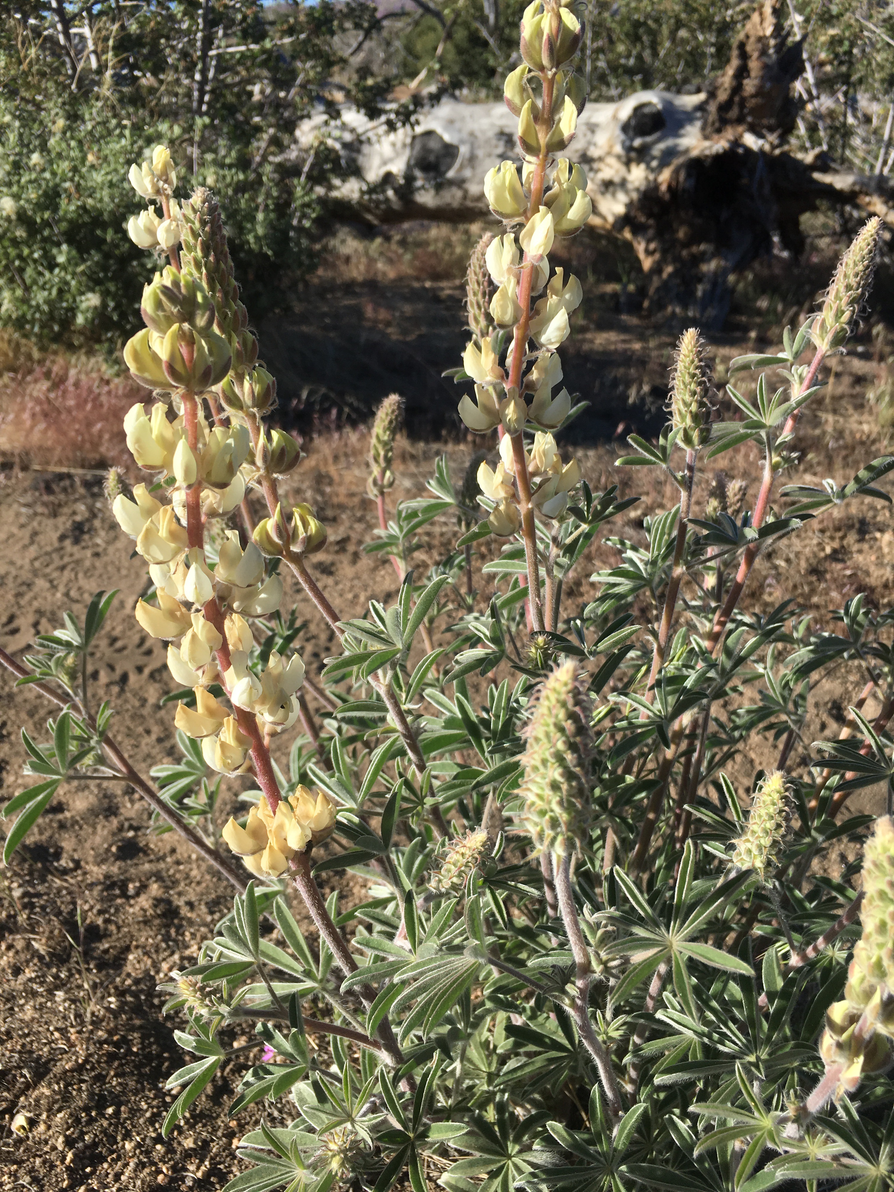
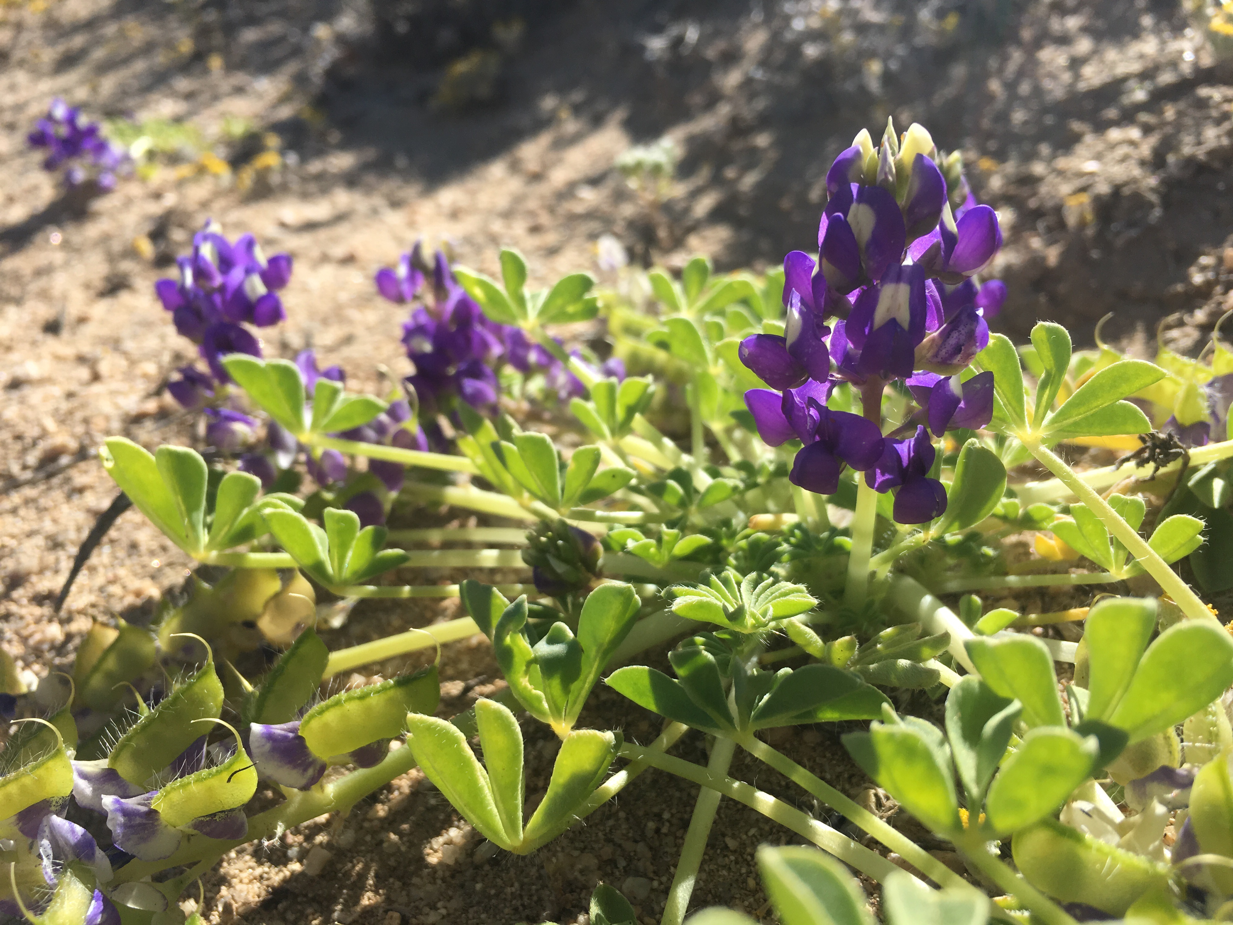
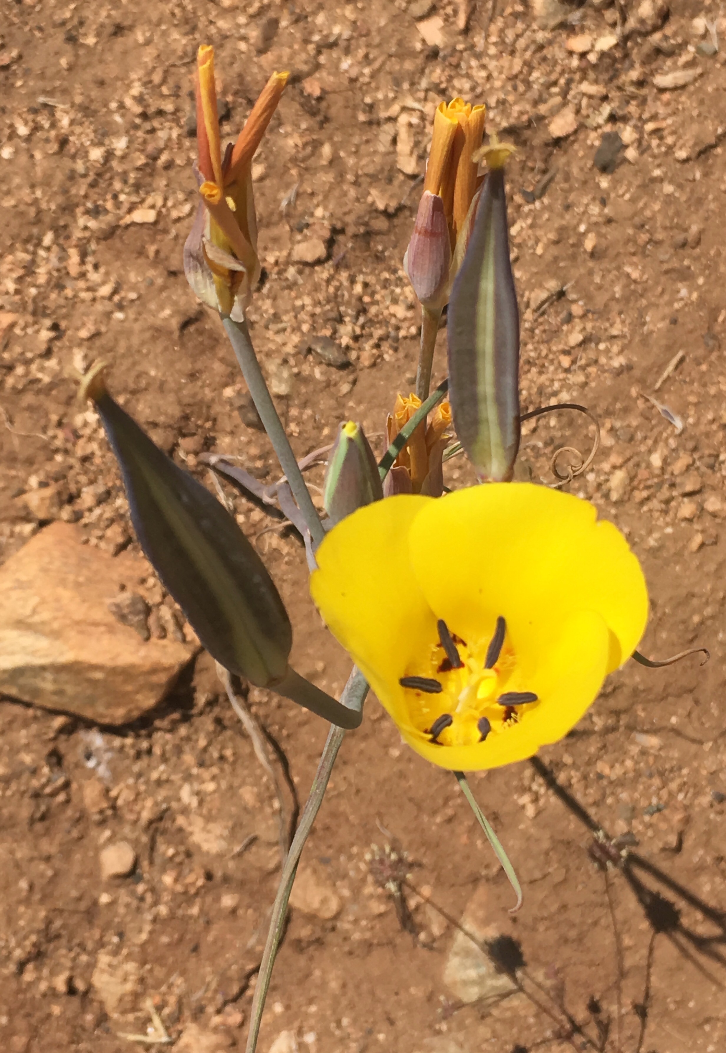
6/23/17 – Traveresed one sketchy switchback up to Mt. Lincoln, then took the long but safer and snowless climb up to the summit/ski gondola.  The alternate was crossing the snow covered front,  very steep with runout over rock faces.  After taking a look at the trail coverage, we decided to descend the ski area via various runs down to the Judah Lodge, then road walked to Donner Pass. Amazingly, we ran into a hiker we knew from the desert being dropped off by a trail angel.  Nancy took us into Truckee and to her house, told us to make ourselves at home and welcomed us to spend the night.  I can’t get over the generosity of wonderful people like this!  Our spirits were lifted and we went out to dinner with Nancy and four other hikers staying at her place.

The safer path down.
Typically the tree wells have been 10-15ft, not like these couple foot ones pictured here.
More hazards!

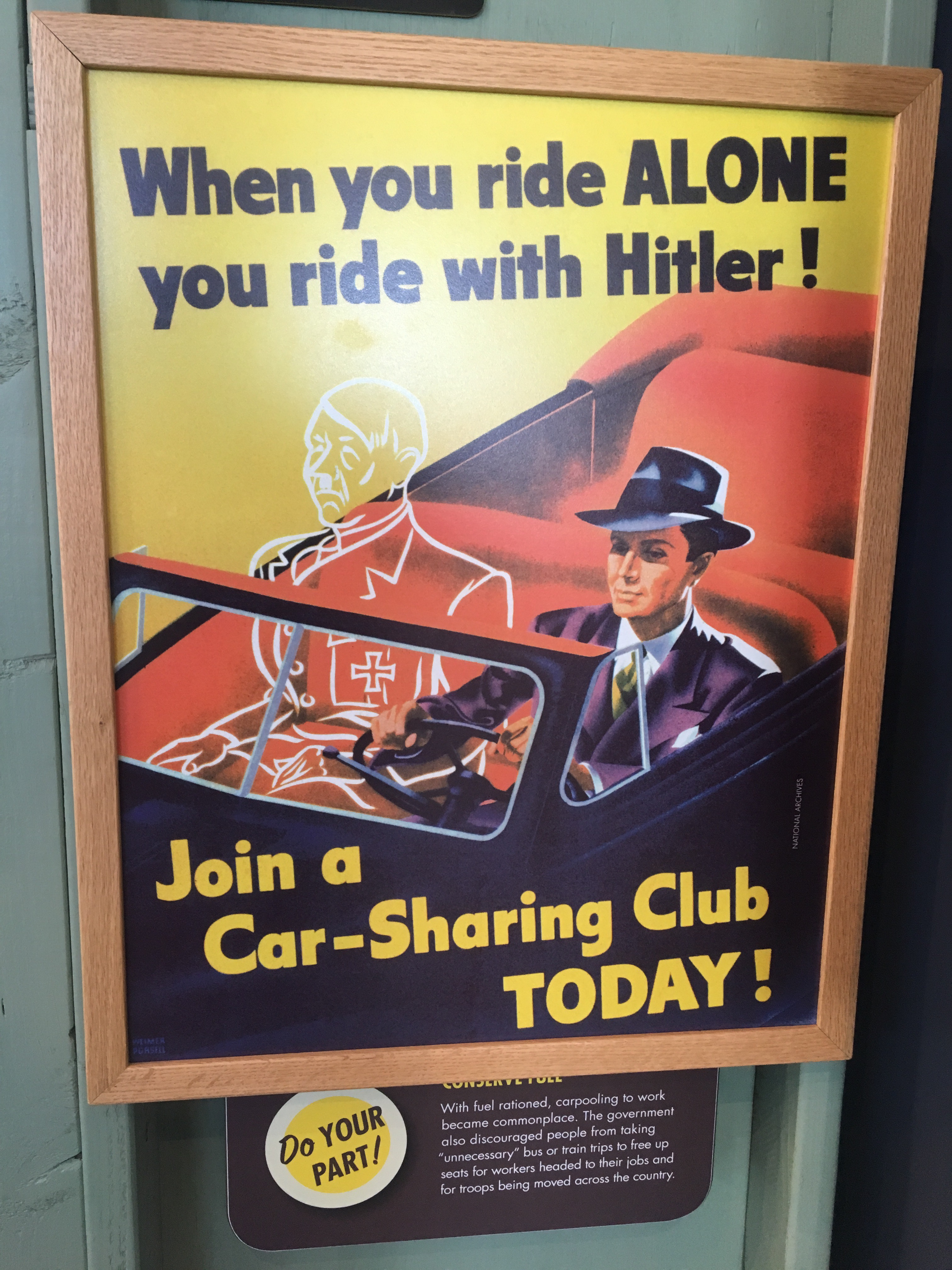
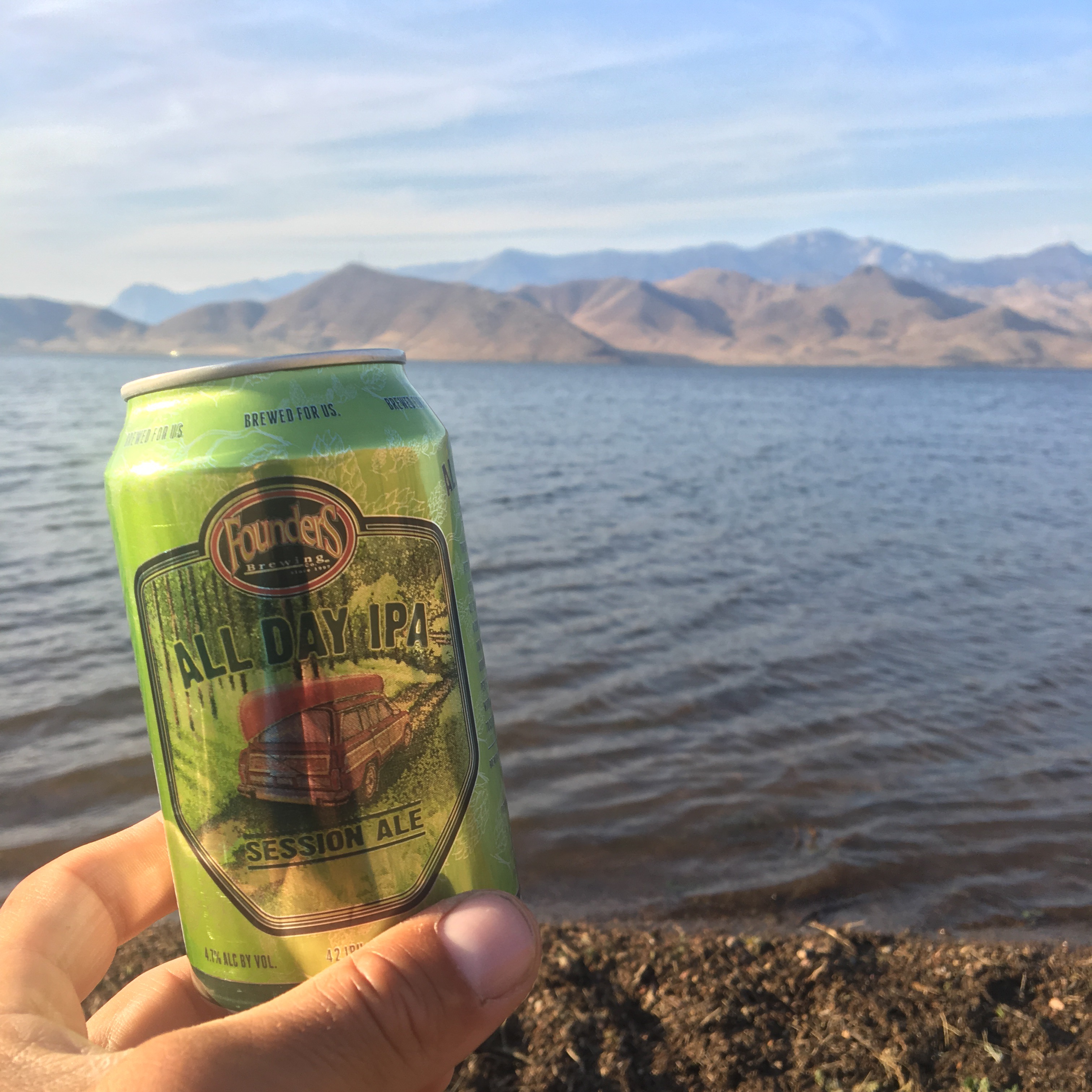
6/24/17 – Zero day in Truckee, cool town!  Lots of outdoor shops, food, and things are mostly within walking distance.  Nancy has been a wonderful host and we spent the day figuring out the next couple resupplies. We’ve decided to go north again to Chester, CA, mile 1328.8.  Tired of GPS nav all day and slushy snow.  A couple hikers set off from Donner summit then bailed and returned to the house, affirming our decision.  Nancy is driving us up to Chester tomorrow and sadly we have to take another zero, until the post office opens Monday morning.   Will be nice to get back into the swing of things again hopefully.


6/25/17 – Woke up at 6 and enjoyed he scenic drive up 89 to Chester, CA.  After dropping off Mitten and The Kid at the trailhead we headed into town and got a quick bite, cheap room, and hung out by the river until the room was ready.  Pretty uneventful day, prepped a box for Old Station and rested up.

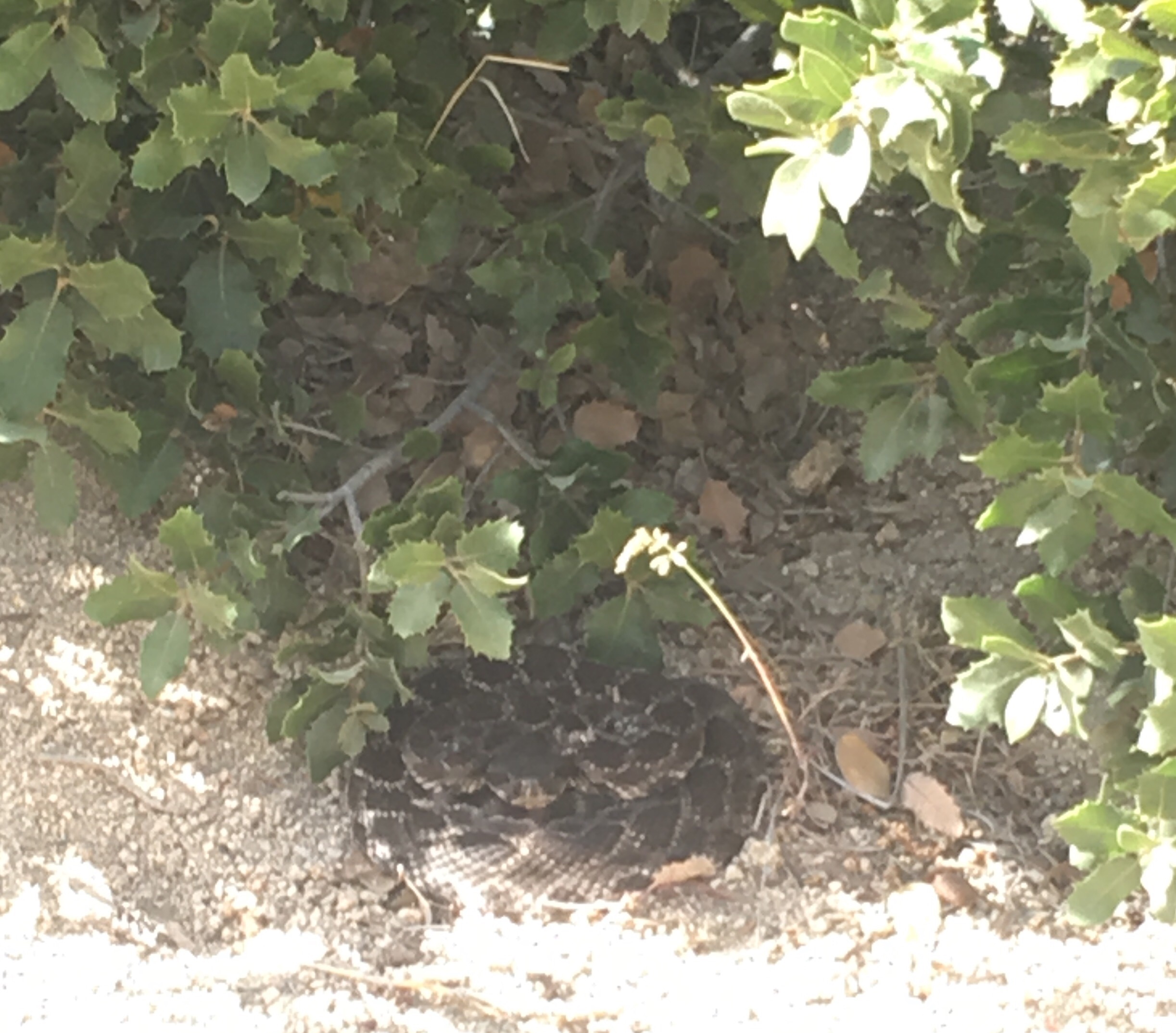
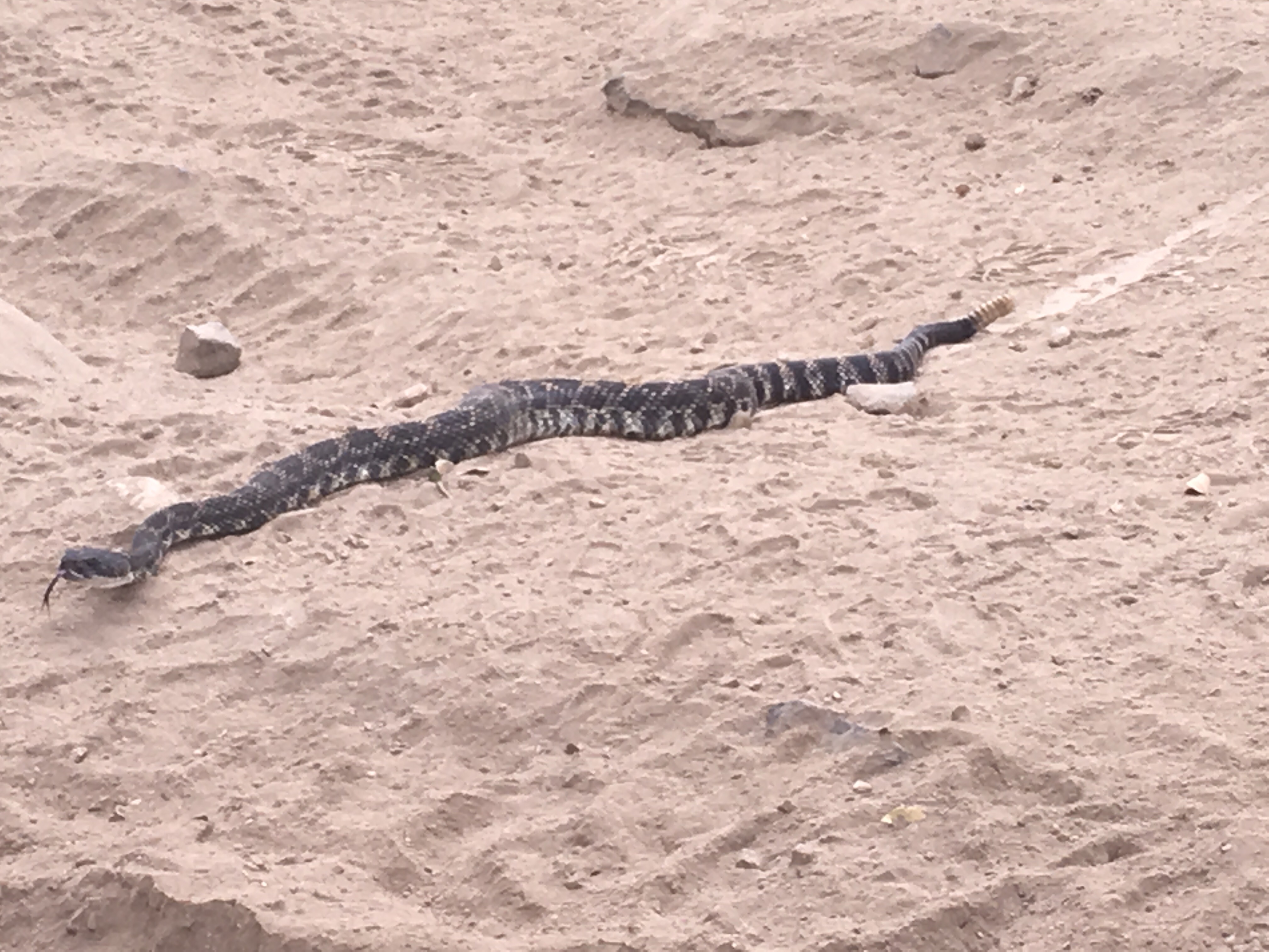
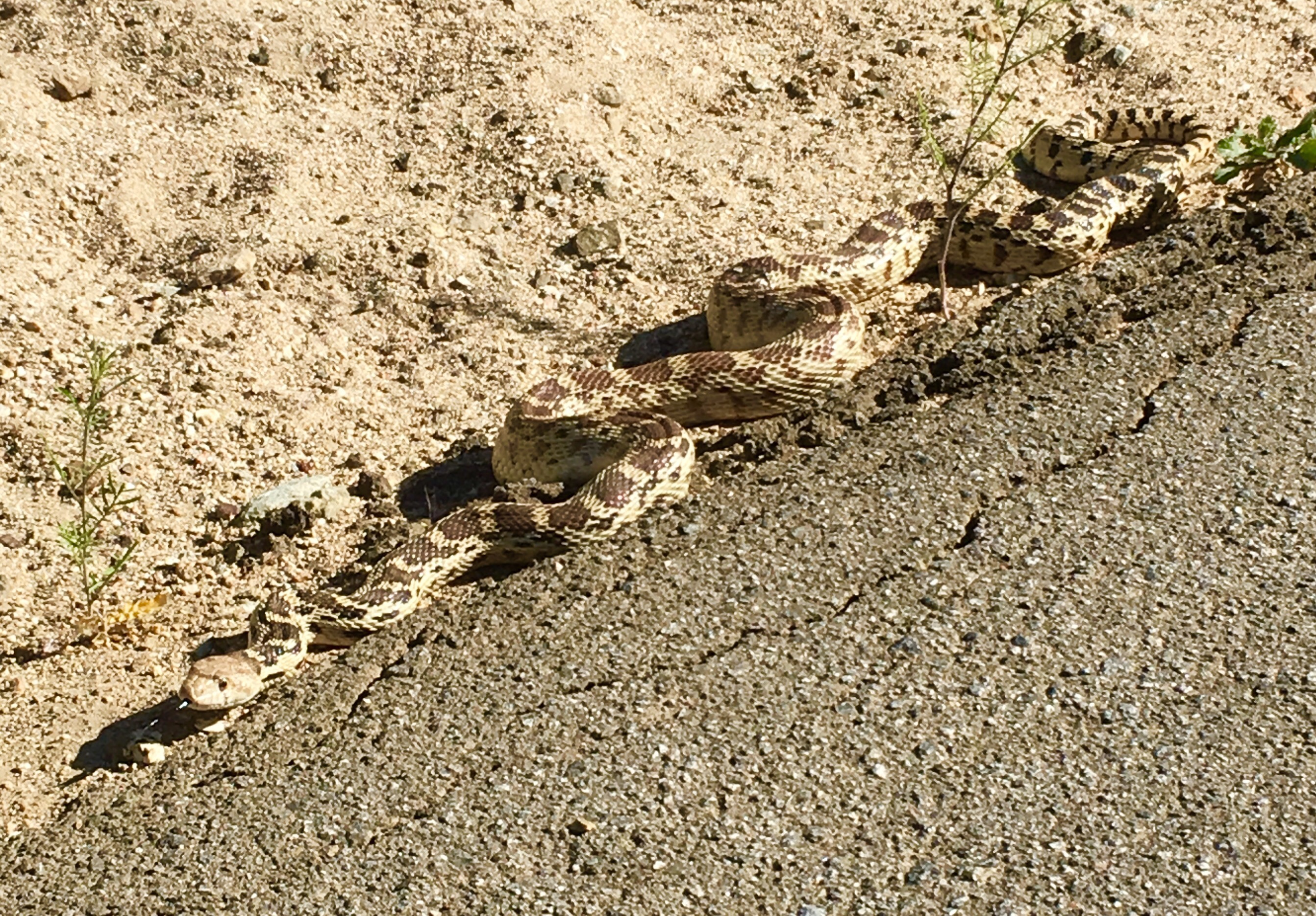
6/26/17 – Back to cruising!  After stopping by the post office we got back on trail around noon.  To our surprise we got in 20 miles before stopping.  Exposed trail makes for fast hiking.  Around mile 1345 we had our first bear encounter!  Adolescent blonde colored one on the trail about 30 yards from me.  We both started trying to scare each other off and I won.  Most importantly, neither of us shat ourselves.  After a few more miles we got to Warner Valley Camp, a beautiful managed campground.  Flat sites, fire rings, clena pit toilets, picnic tables – feeling spoiled at mile 1347.8.

Flat and snow free!
Giant pinecones, were hoping to find one bigger than Sara.
Warner Valley Camp

6/27/17 – Another easy ~20 mile day!  The trail is spoiling us with boardwalks even.  Lassen is beautiful.  We made it just about to Old Station then decided to camp early as we have to wait on packages arriving tomorrow – their PO is only open 11am – 3pm.  So a lazy morning of sleeping in then some more easy miles.  Camped by Hat Creek at mile 1367.2.

Eerie burn area.
Raging river whirlpool plus lava rock pumice stone makes for happier feet.

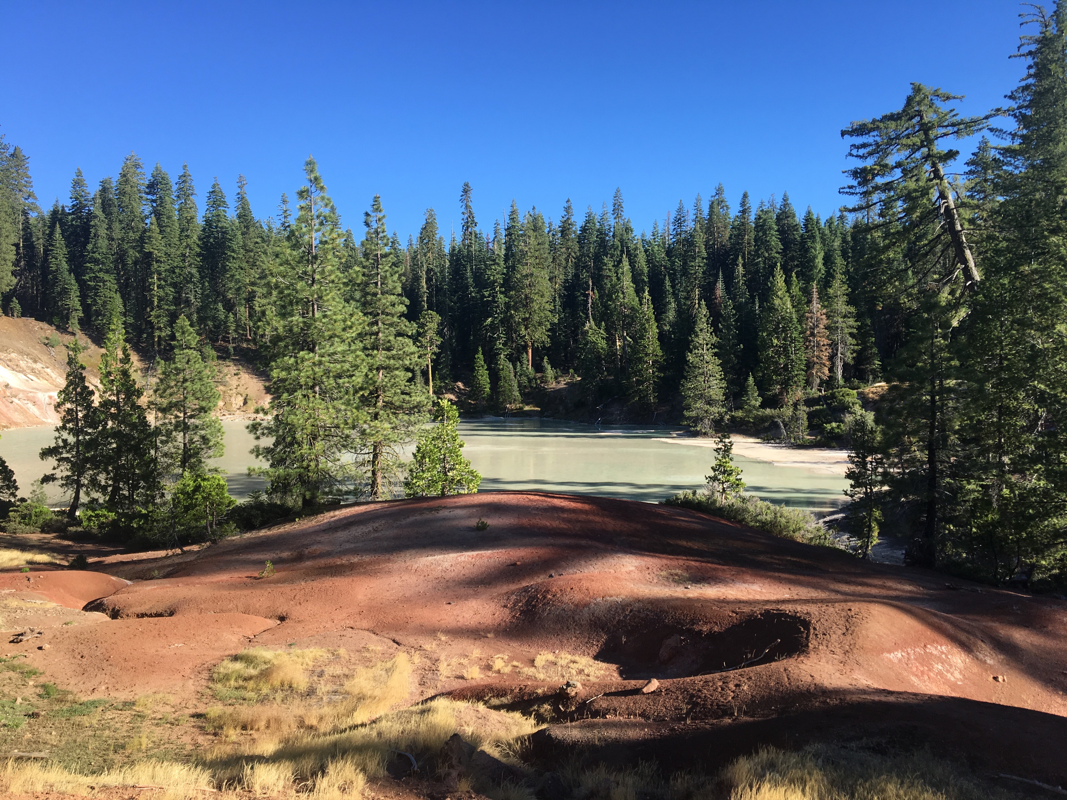
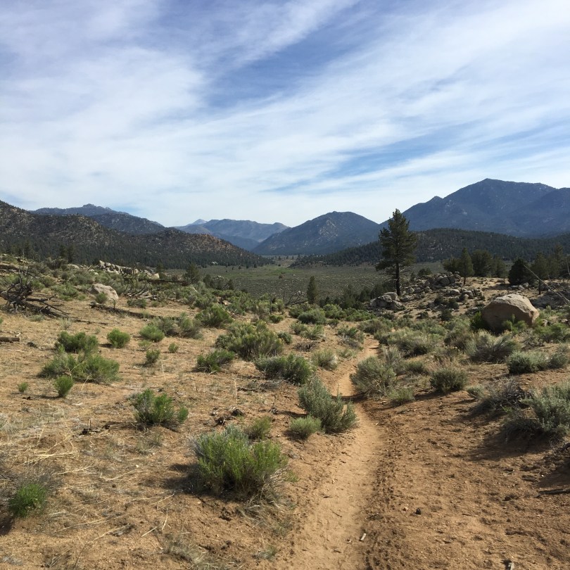
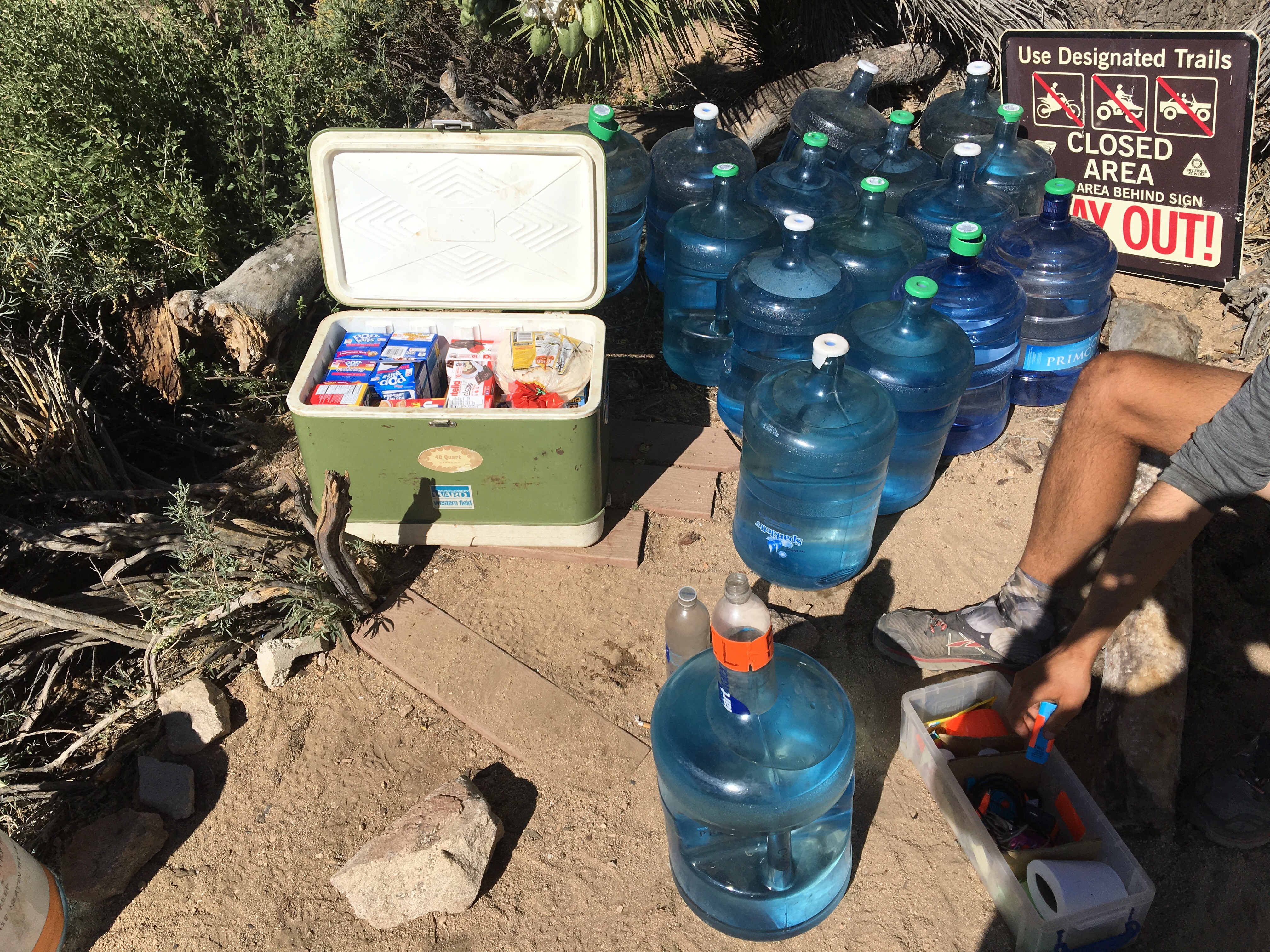
6/28/17 – Easy few miles in the morning into Old Station.  Very friendly lady at the post office was able to bounce the boxes we were expecting there north for us!  Walked a few more miles to JJs Cafe – delicious burger and beer shortly followed.  Checked out a lava tube cave and then got back on trail.  Got water down an epic set of switchbacks/boulder problems, then camped nearby at mile 1383.0.

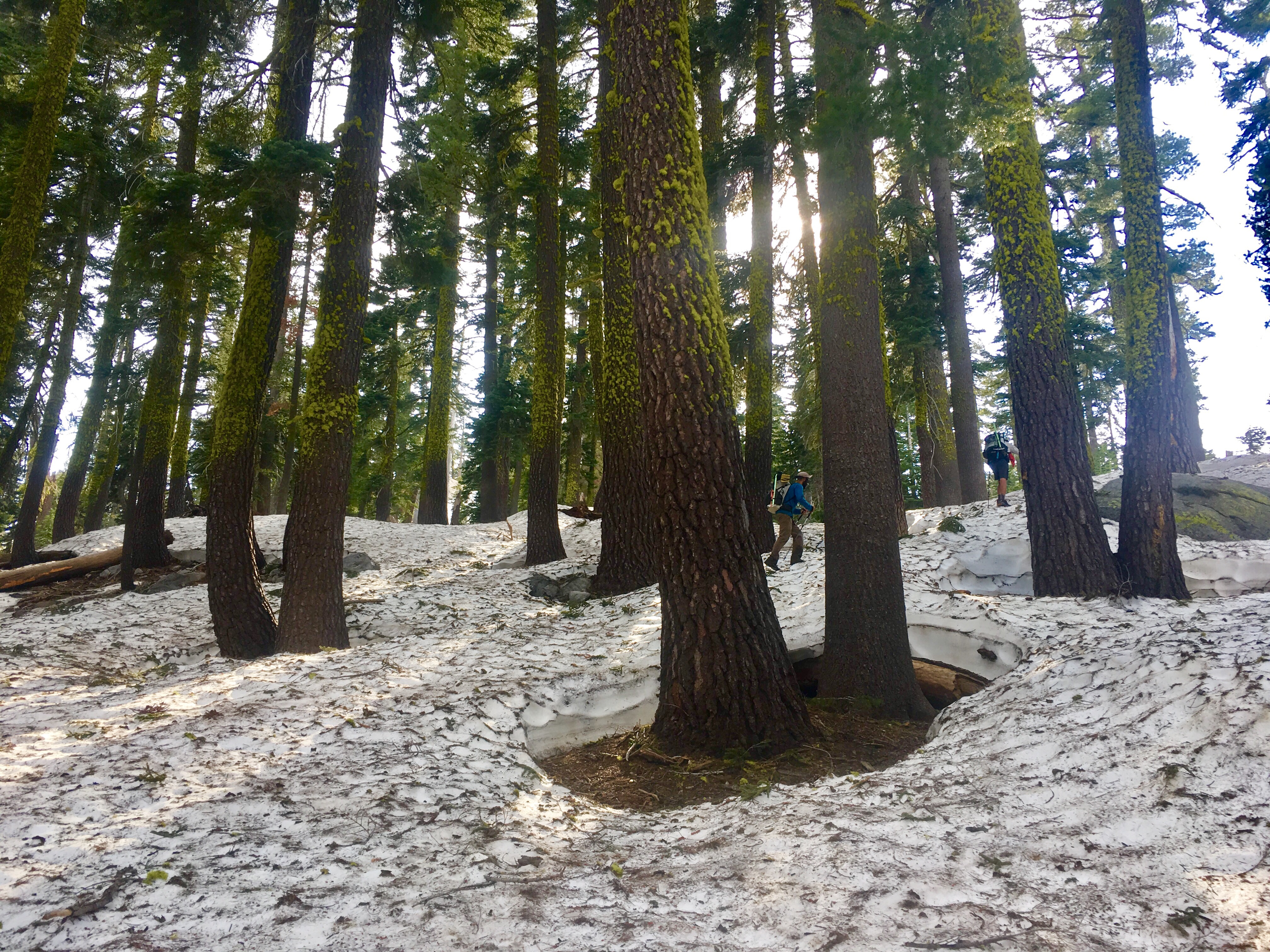
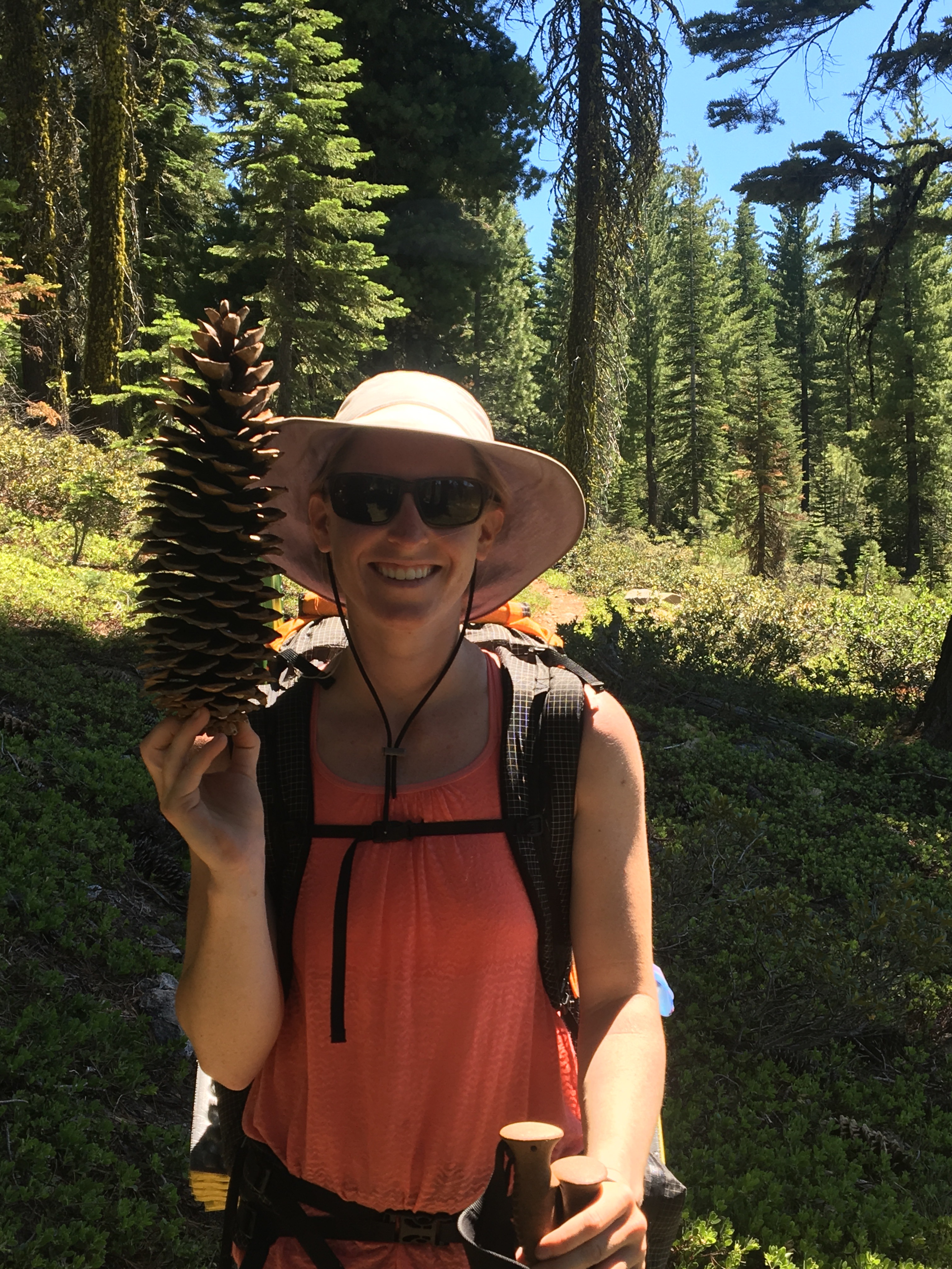
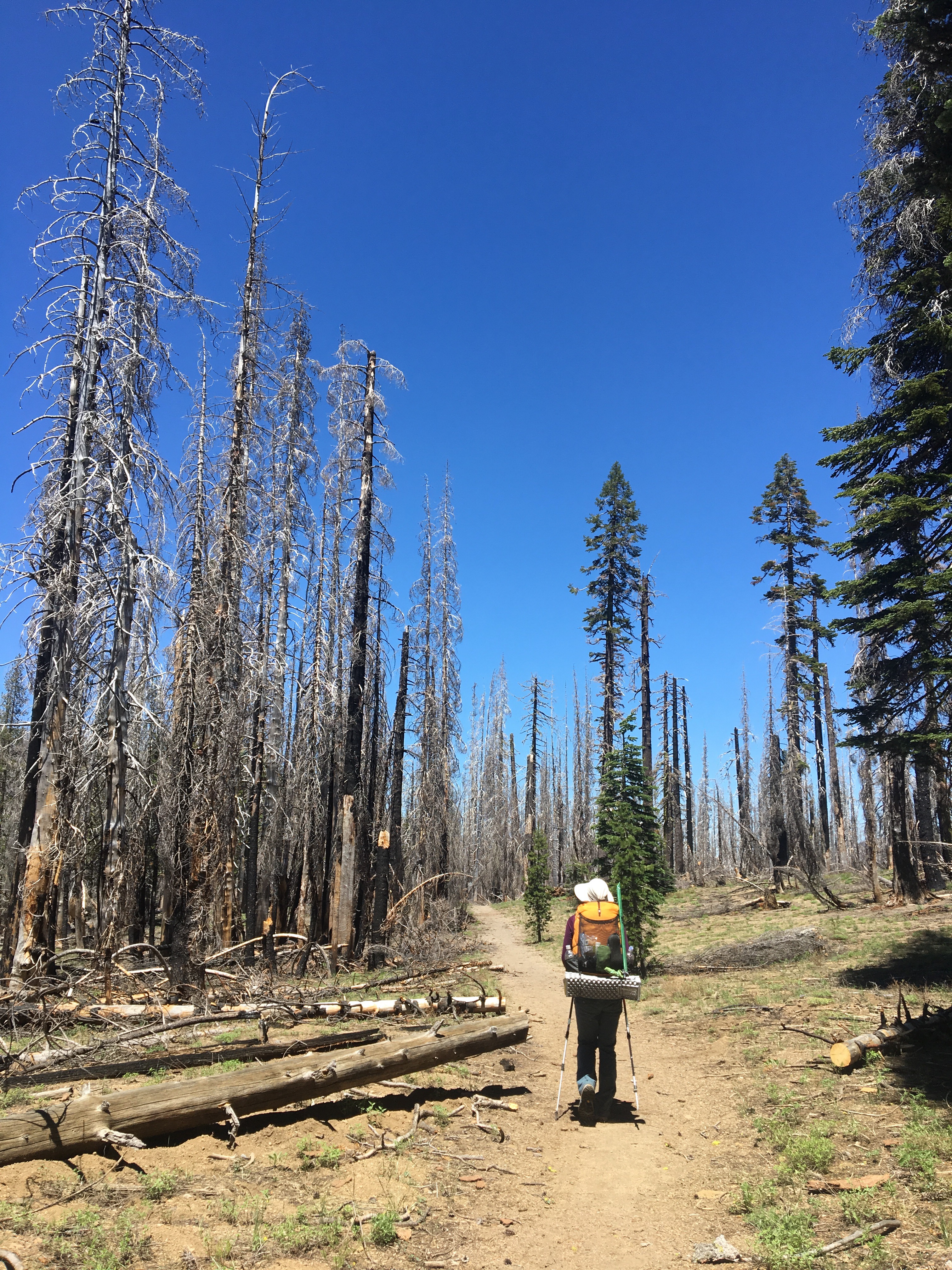
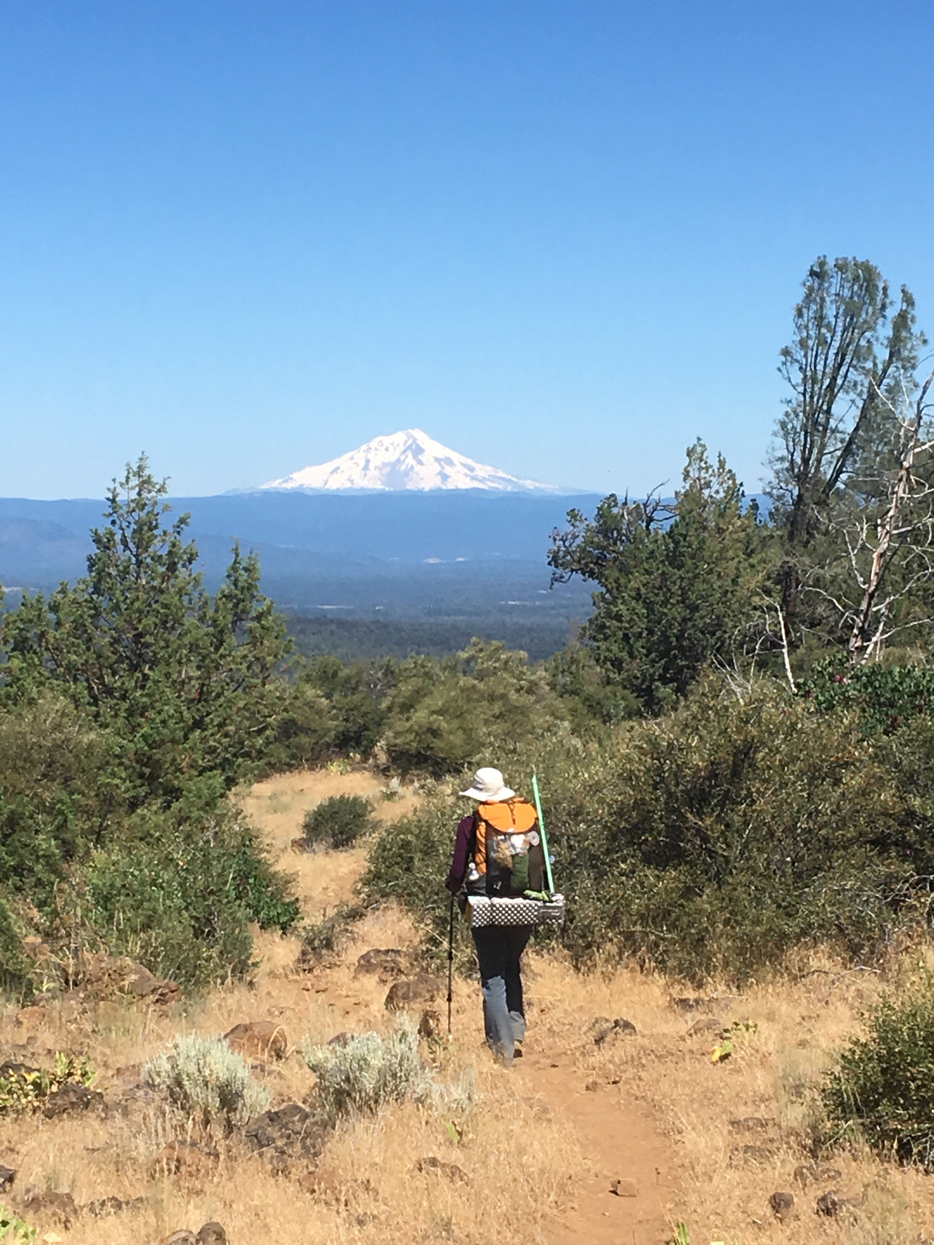
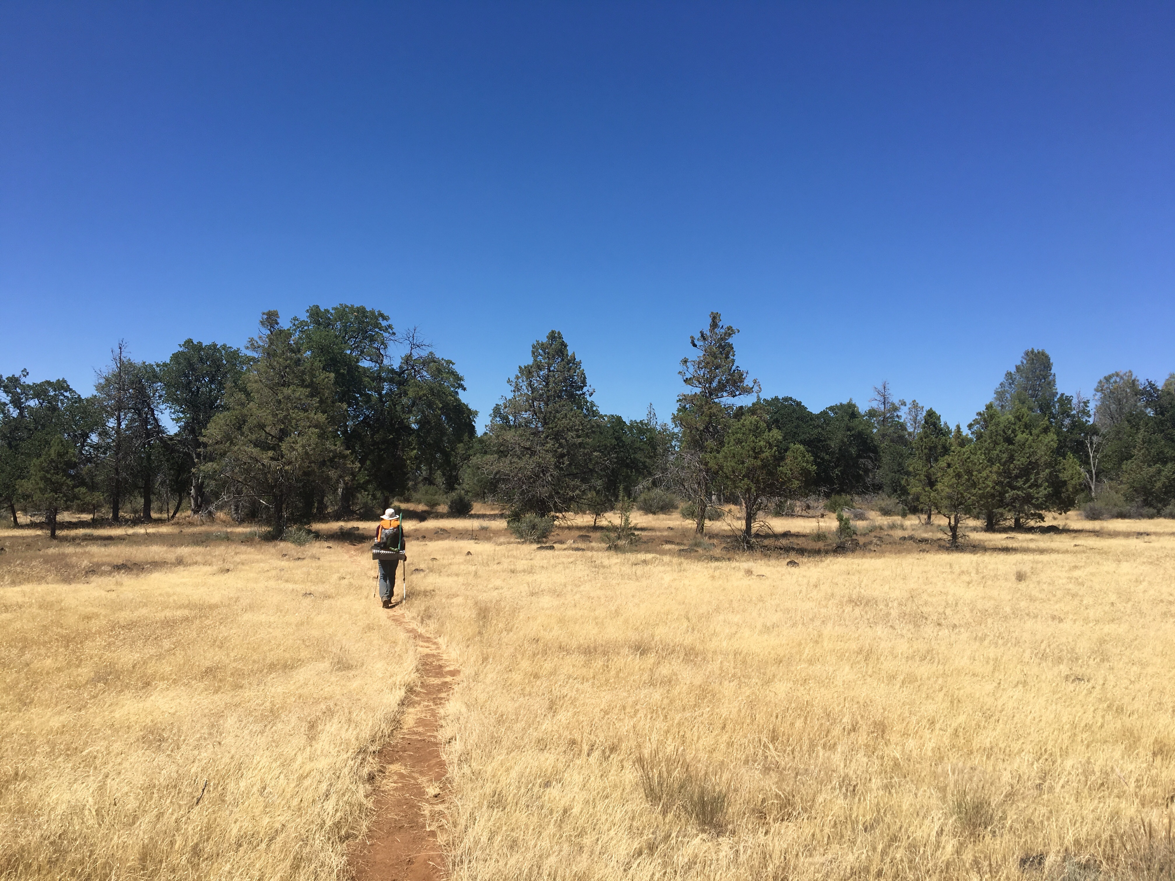
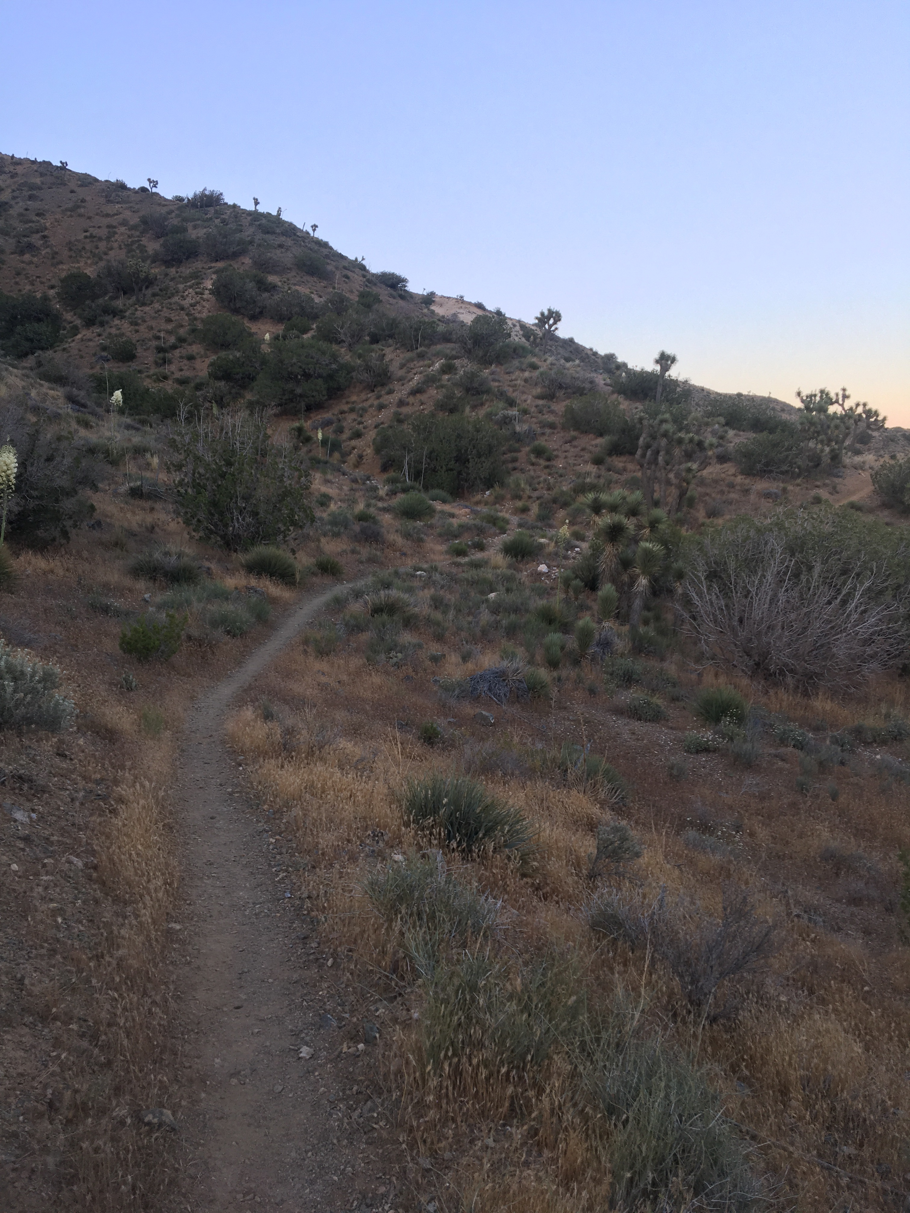
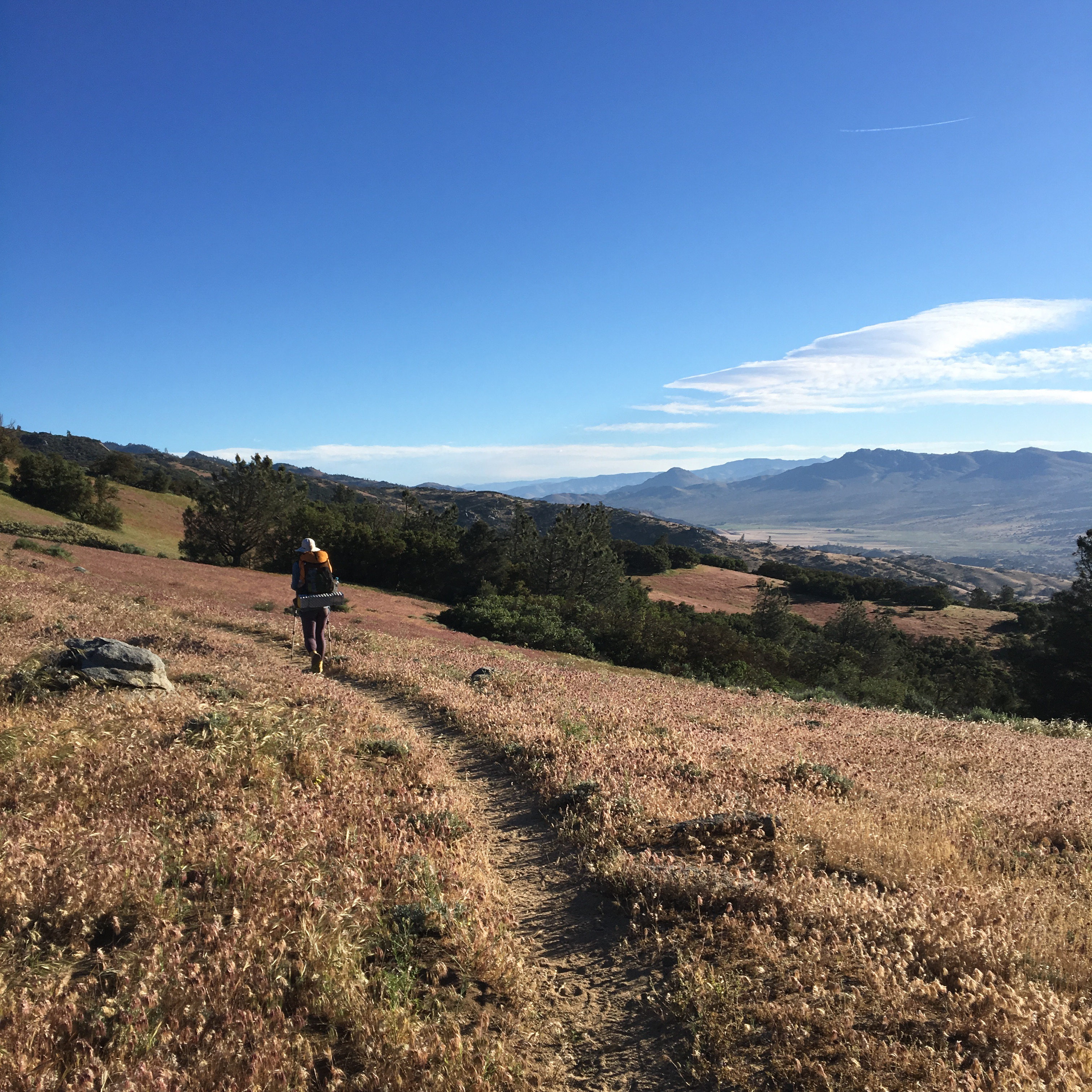
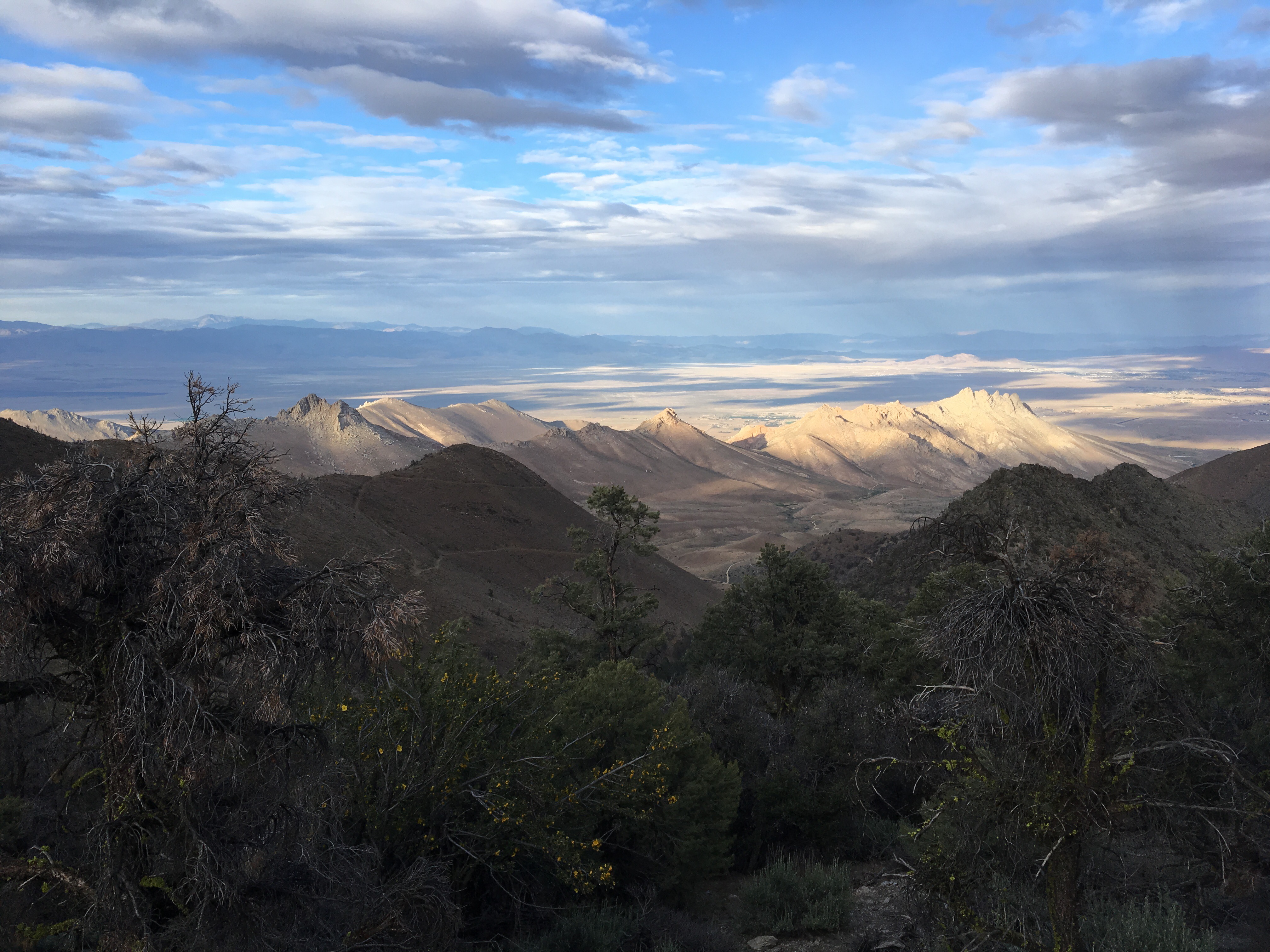
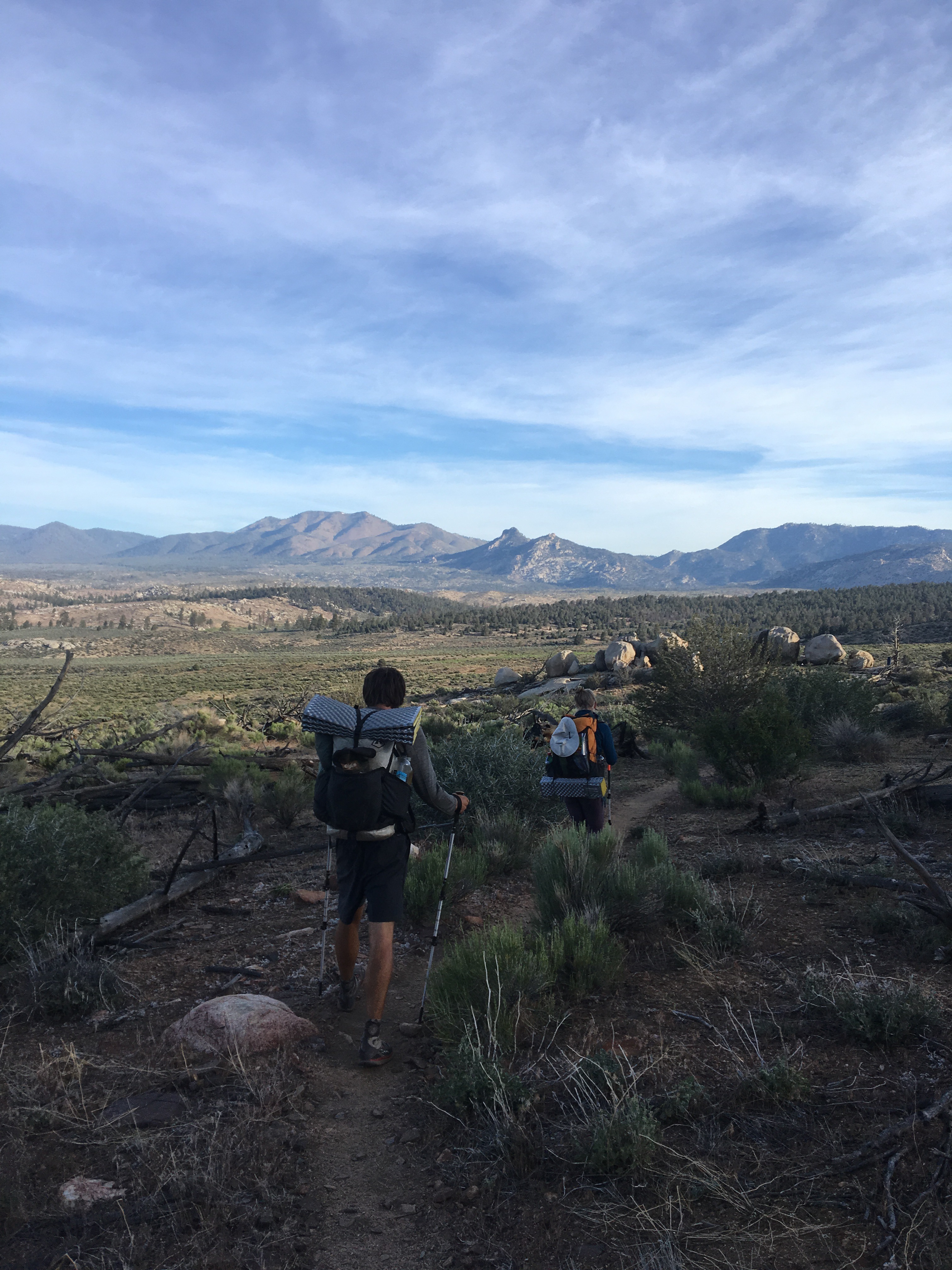
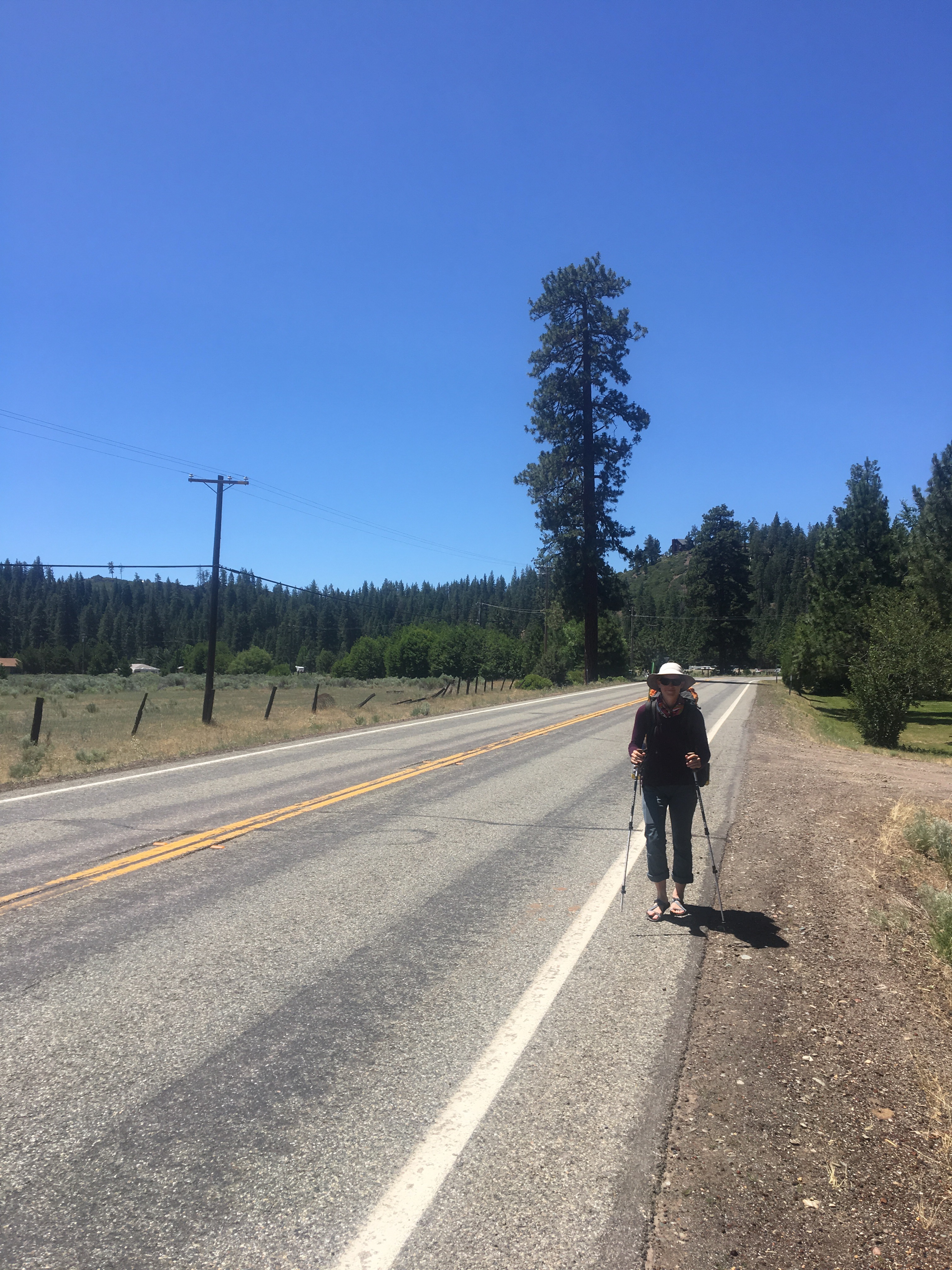
Walking out of Old Station.

Lava tubes!
First views of Shasta, excited to stare at this for the next 100 or so miles!

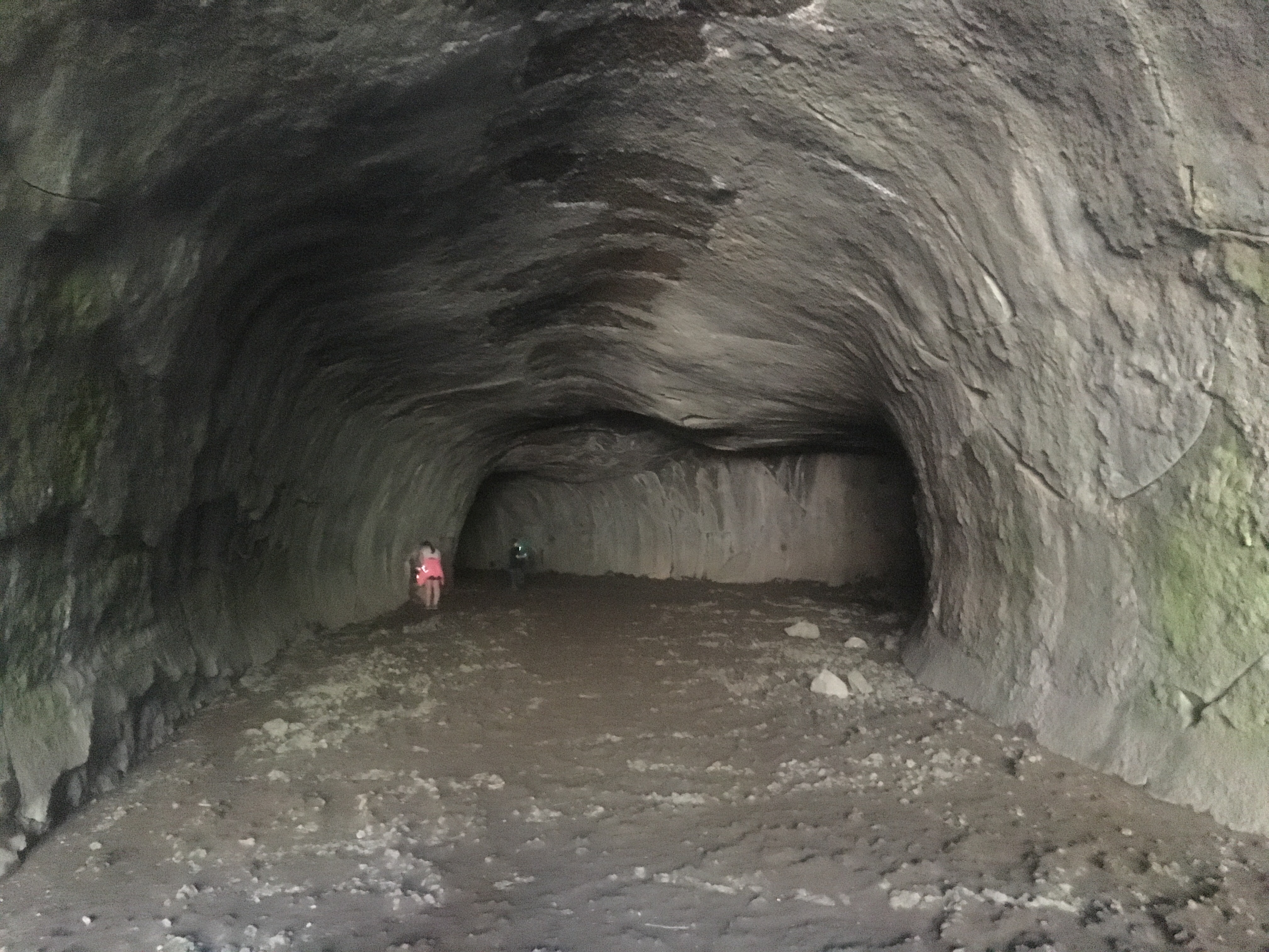
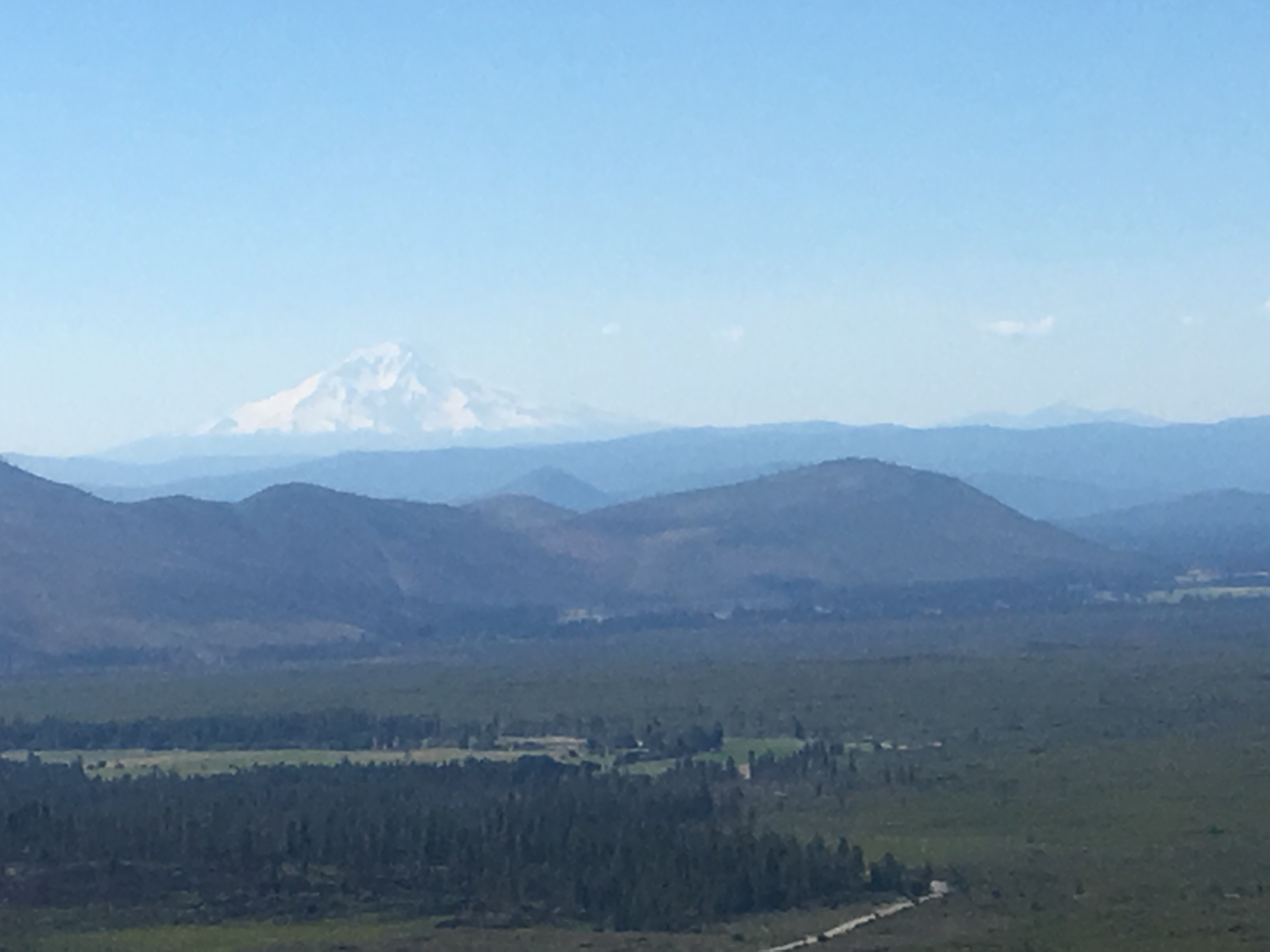
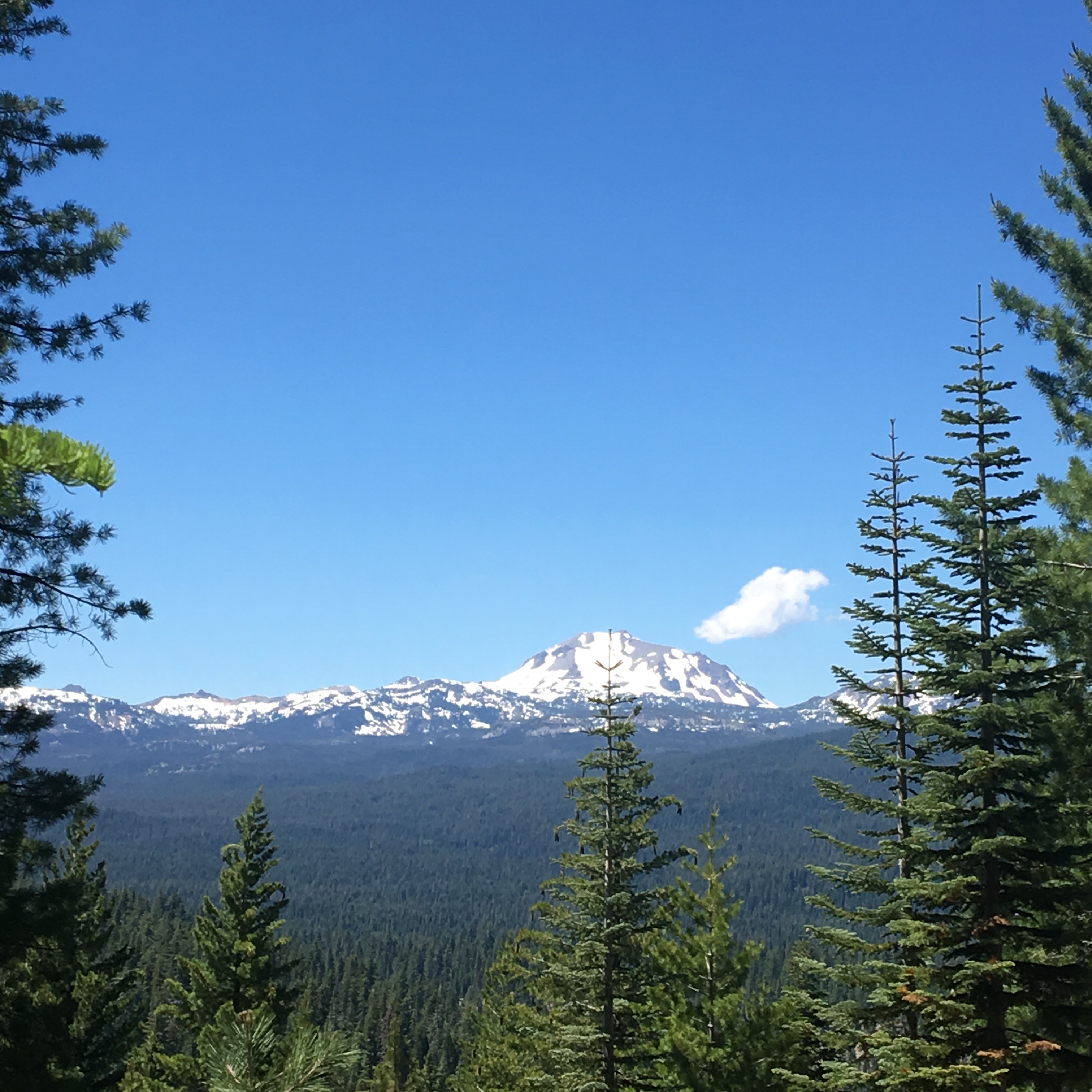
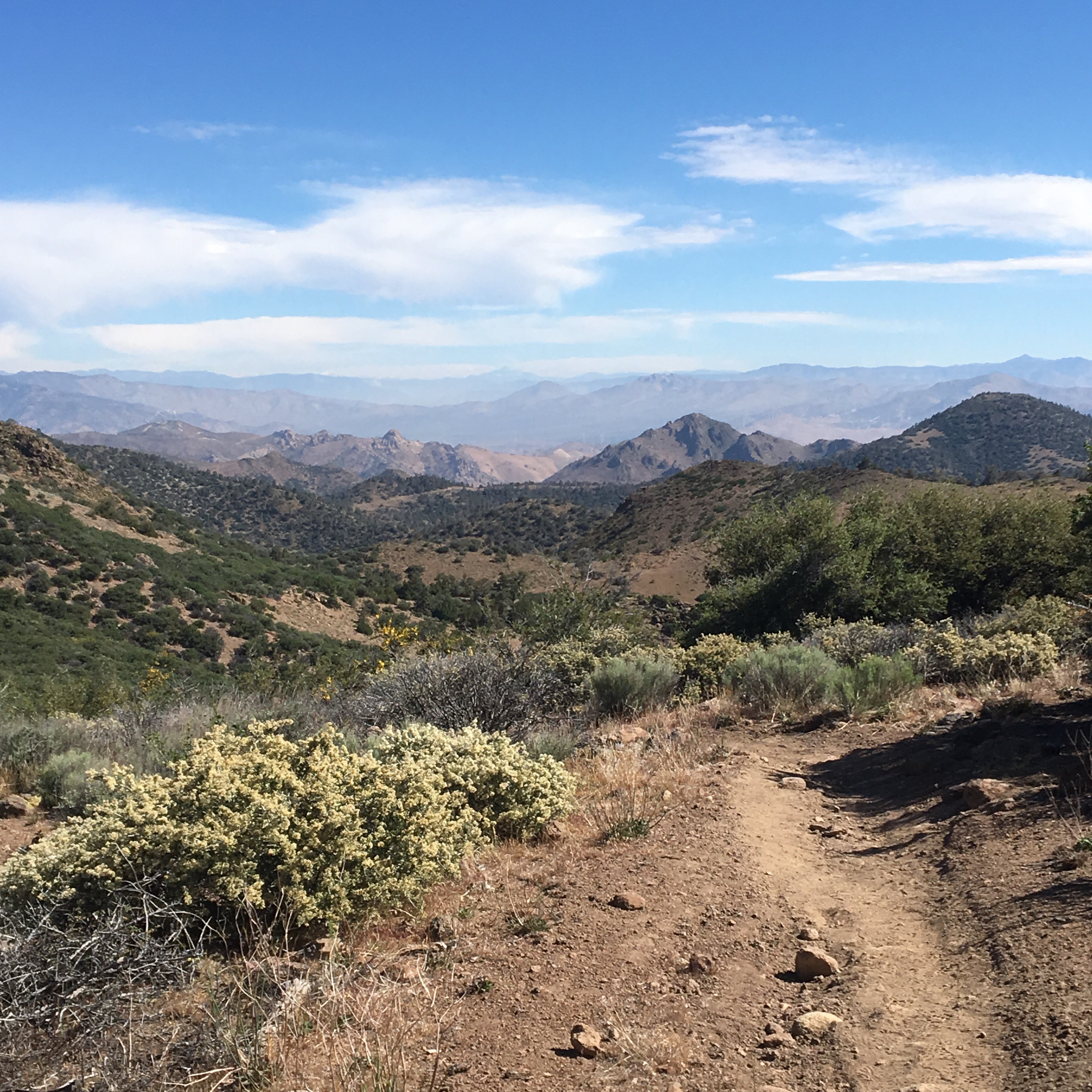
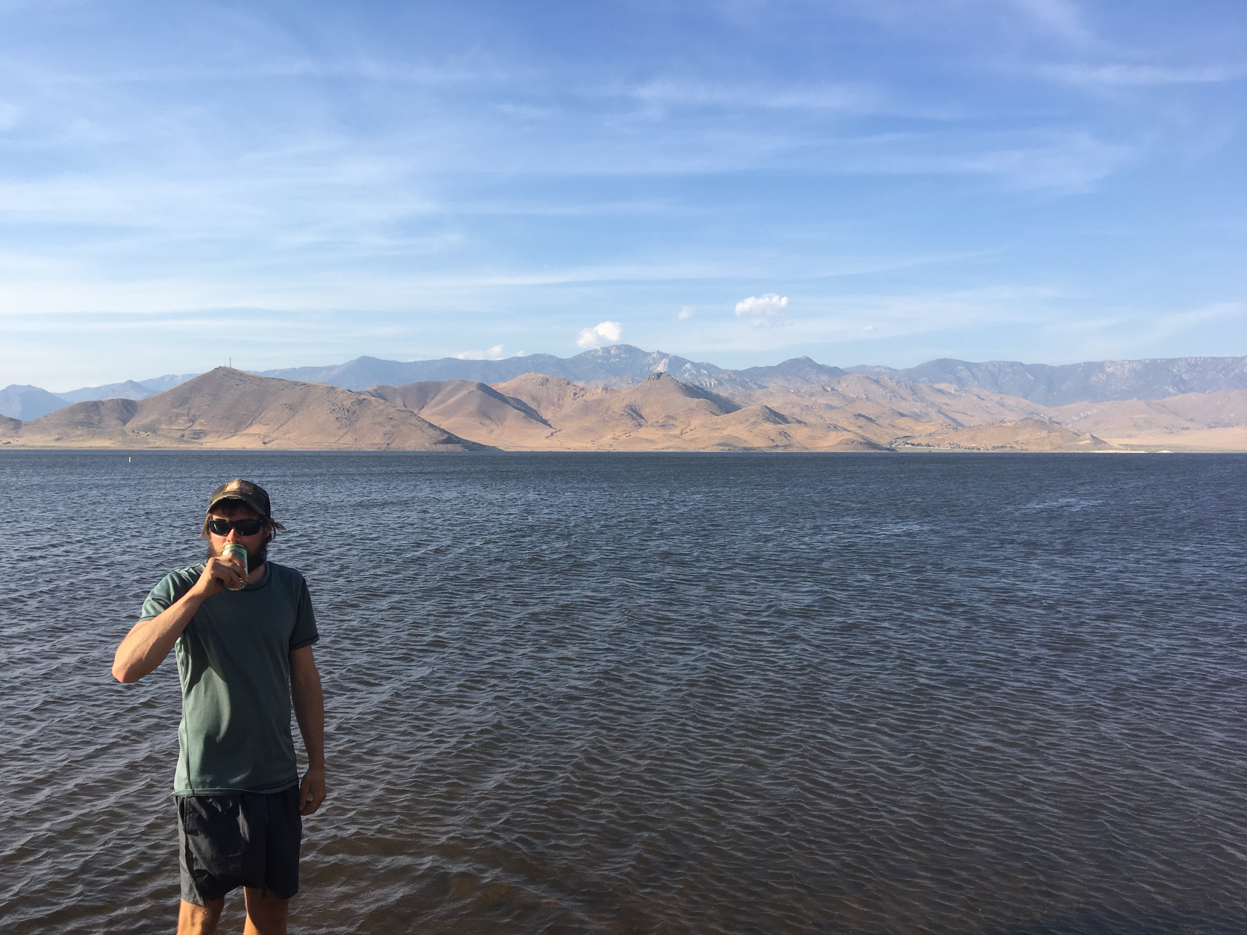
6/29/17 – Long day of hiking – 25 miles and not much shade!  Beautiful views of Burney mountain and Shasta from Hat Creek Rim.  Took several breaks to air out our suffering feet and made it to the Burney Mountain Guest Ranch by mid evening.  Had a wonderful home cooked meal, did some laundry, and took a much needed shower.  Looking forward to jumping in their pool tomorrow!  Spending the night here at mile 1407.2.

The San Francisco Layover

So we’ve been off trail and in Morro Bay/San Francisco now for more days than I can count – thanks to Sara’s friend for a place to stay, we could easily stay here even longer.  The food is too good, especially with the added hiker hunger.  But the trail is calling and we’ve been itching to get back to the hiking and out of the big city.  

We’ve been vigilantly scouring Facebook, Instagram, WhiteBlaze, and messaging friends on the trail to consider our next move.  While the snow seems like a challenge we can deal with, the rivers are getting more and more dangerous and unpredictable day by day.  After hearing about many people bailing, skipping ahead, or just having miserable times, we’ve decided to skip ahead about 390 miles, to South Lake Tahoe (by the time this posts, we’ll be on the trail in that section).  We’re gonna bring some of our snow gear, but get to (thankfully!) leave our bear canisters for now and use Ursack’s instead.  The plan is to come back and finish the Sierra’s in the late season – as an added bonus we’ll hopefully skip the mosquitos.  This has not been an an easy decision, but my gut is telling me its the right call.  No sense in taking on too much unecessary risk, the only benefit would be to my own ego.

With that said, we’ve been keeping active here and haven’t fallen completely into binging on luxuries.  Sara’s parents flew in from Michigan for a few days and teamed up with us for some microadventures.  Over the past couple weeks we’ve tackled:

  • Morro Bay/Morro Rock

  • Alcatraz Island

  • Muir Woods National Monument

Baby fox!

  • Muir Beach

  • Sutro Baths

  • Coit Tower
  • Golden Gate Bridge walk

  • Golden Gate Park – Tea Garden, Botanical Gardens
  • Rosie the Riveter WWII Homefront NP

  • Various section hikes of the San Francisco Bay Trail

  • Anchor Steam Brewing Tour
  • Dogpatch Boulders

And so on.  I tried to only list the things that involved being active, the food could probably use it’s own post.  But since this is more or less an adventure/hiking blog, I’ll just give one special mention to Bellota where I had my birthday dinner – damn good paella!


Of course we also spent quite a bit of time preparing for and figuring out this next stretch of our trip.  We probably went to REI or Sports Basement every other day.  We cleaned our gear while catching up on some Netflix.  I even got a hair cut!

Thanks again to Danielle and Lu for hosting and providing us with a place to stay! 

Expect our next blog post to be in a week or two from Quincy, CA.

Flora of the PCT: Desert Wildflowers Part II

We’ve finally made it 700 (702.2 to be exact) miles through the desert and could not be more excited for the snow to come!  This section of desert tends to wear on people and for good reason.  The sun and heat are relentless and there are so many miles of burn. 

As grueling as these burn areas may be, they’re are also beautiful and full of life.  It’s easy to notice the towering burned trees, not as easy to notice some of the dwarf flowers like desert calico (Loeseliastrum matthewsii) and cushion cryptantha (Cryptantha circumscissa). 

Desert calico
Cushion cryptantha

Many desert plants have trichomes, or hair on their leaves and/or stems.  Some, like desert calico and cushion cryptantha, are spiny and unfriendly to the touch. Others, like two-color phacelia (Phacelia bicolor) and creamcups (Platystemon californicus) are more wooly and soft to the touch. 

Two-color phacelia
Creamcups
While trichomes peak my tactile interest, they also serve a purpose. The hairs can restrict insect movement and herbivory on leaves. They also reduce the rate of transpiration, or water loss, by reducing the amount of air that’s able to flow across the leaf surface. 


There are over 50 species of Lupinus in Southern California which is very exciting for a lupine lover like myself. These flowers are one of the first to repopulate an area after fire and bring some much needed color to the landscape. 


One of the most exciting finds in this section was this butterfly mariposa lily (Calochortus venustus).  These flowers are endemic to California, meaning they’re native and growth is restricted to particular areas. 

Butterfly mariposa lily

The desert mariposa lily (Calochortus kennedyi) is native to California, but not endemic. They are common in the Southwestern US and come in a yellow and orange variety. See Part 1 for orange.

Desert mariposa lily
Clarkia are difficult to capture on a good day with my iPhone due to their small nature and the wind. But they’re beautiful and also uncommon so we just have to deal with the poor quality. 

Elegant clarkia

Elegant clarkia (Clarkia unguiculata) and two-lobe clarkia (Clarkia biloba) can most easily be distinguished by their flower petal shape. Elegant clarkia petals are paddle shaped while two-lobe clarkia have heart shaped tips. 

Two-lobe clarkia
Very few days passed that we didn’t come across a species of Indian paintbrush (Castilleja).  In fact there are so many species of Indian paintbrush and lupine that I could spend six months trying to identify individual species. But there are miles to be made and just not enough time for that. 

This is a particularly red Indian paintbrush. I wish I could give an explanation as to why it’s so red, if anyone knows I’d love to hear! This genus of flowers are pretty incredible. Not only are they capable of growing in unforgiving landscapes, they do so with very small leaves. So how do they photsythesize and get nutrients you may ask?


Castilleja species are parasitic plants. Their roots have tubes called haustoria that absorb moisture and nutrients from other plant roots it comes in contact with. 
There are many species of Penstamon, another species that seems to be one of the first to colonize recently burned sections.

Showy penstemon
Showy penstemon of a pink variety
 

This wishbone bush (Mirabilis laevis) is in the same genus and Colorado 4 o’clock identified in Part 1.  They are a wonderful pop of color in areas dominated by Joshua trees and sagebrush.

Wishbone bush

In our time out here I’ve only spotted this single red-rayed alpinegold (Hulsea heterochroma).

Red-rayed alpinegold

Scale bud (Anisocoma acaulis) is very common in the Southern California desert. It also happens to be the only known/identified species of its genus. 

Scale bud

This mountain beebalm (Monardella odoratissma) became more common as we approached Kennedy Meadows. 
Mountain beebalm
This flower has a wonderful smell and like all other members of the mint family, has a square stem. 

And last, but certainly not least beautiful, is this speckled fairyfan (Clarkia cylindrica). 

Speckled fairyfan

Day 50 – Mile 702.2, Kennedy Meadows, CA

Well, technically San Francisco – the post title is a lie, but we did hike to Kennedy Meadows.  Sara and I are taking a break to check out the city, visit with family and friends, and switch up some gear for the next segment. I’ll probably make a future post on whatever our San Francisco adventure brings as well.

Back to the trail stuff – we actually made it to Kennedy Meadows, the gateway to the Sierras.  Ian is pushing forward into the snow and we await his info.  We’re all looking forward to the snow and new challenges!  Feels good to be done with the desert especially. “Scribe” has come up as a trail name possibility for me, though I probably should be recording more if that’s gonna stick.  Anyways, here’s some ramblings and pictures from the past several days.

Day 38 – Tehachapi zero day.  Only our second of the trip and we probably could have used a couple more.  Didn’t do anything too exciting other than ice my right shin, play on my phone, resupply, and enjoy climate control during the 100 degree heat of the day.  And we drank a bit of course.

Sunset, walking to the grocery store.

Day 39 – Lazy day around town, ate a bunch more food and sat in a park most of the day waiting out the 100 degree heat.  Headed back to the trail after dinner then night hiked back up into the hills to mile 573.2, where we camped.

Day 40 – Could have easily kept sleeping until I thought about the heat.  Hiked from 6:30-10:30 or so and waited out the heat near the only water source in this ~40 mile stretch.  After several hours of napping and snacking we quickly covered another 10 miles and camped in a beautiful grove at mile 593.

When there’s only one water source for ~20 miles in either direction, a bubble of hikers form.

Day 41 – Good trail all day – started with a bit of climbing but by afternoon had mellowed out.  A few thousand feet change in a day is pretty typical.  Plenty of water about today, we took a long afternoon break near a stream, then continued on another ~4 miles.  Hit 600 miles today; another hundred down.  Camped at Landers Meadow Camp, a popular ORV trail campground at mile 608.9.

Nothing like watching the sunrise without having to do more than open my eyes…

Day 42 – Out of the woods this morning after an easy ~10 miles and back to the desert.  Took a detour off trail mid morning, down a gully, to access water.  Other than a little easy scrambling – enough to make me miss climbing – it was an easy hike to a plentiful water source in this long dry stretch.  It’s 25 miles before the next source, so I have 5.5L, my biggest carry yet.  After a siesta in a nearby Joshua Tree we hiked another few miles, camping at mile 625.8 in the wind.

Of all the water meant for livestock that we drink, this had to be the cleanest.
Joshua tree siesta.

Day 43 – Started out the day with a quick 5 miles followed by a steep ~1700ft climb back into the trees.  Took a break in the pines mid afternoon the continued on to McIvers spring for water.  Nice to be down to only a couple liters on my back at a time again.  After stopping for water, we cooked dinner and hiked a little further.  Camped at mile 644.1.

This cache was amazingly thought out – water, food, TP, duct tape, tools, anything you might need in a pinch.

Day 44 – Hiked ~8 miles to Walker Pass and immediacy got a ride from a trail angel into Lake Isabella.  After some breakfast at a diner we headed to the grocery store to pick up a small resupply, then headed to an hiker friendly trailer park for some showers and shade.

Heading down into Walker Pass


Day 45 – Sara’s birthday today!  We had a lazy morning at the trailer park, stocked up on more food and beer, then waited until we could find a ride to the Paradise Cove Lodge.  Once we got there, we were thrilled to have a big, clean, A/C filled room, but disappointed the restaurant and bar was closed until Wednesday – we’d heard their prime rib was incredible.  Walked down to the lake and ordered some pizza, which was damn good as well!

Probably the nicest room and view yet!
Obligatory picture of us.
Michigan beer in the So Cal desert?

Day 46 – Another lazy morning.  Hitched our way into town again, mostly to pick up Ian’s new tent at the now open PO.  After another trip to Vons for snacks we hitched back to the hotel.  Ian seam sealed his new tent and Sara and I lounged around.

Another picture of Lake Isabella – apparently this several mile long lake was just a trickle of a river last year.
 

Day 47 –  Yet another lazy morning!  At the pace we’ve been going it feels strange, but comes well deserved.  Got every pennies worth of our hotel then tried taking the bus back to the trail head.  After a few minutes at the bus stop, we got picked up by the same guy who had given us a ride the day before!  He was in town visiting his girlfriend who’s on the PCT, but since he rented a truck, he’s been doing the trail angel thing around town.  Can’t thank people like this enough!  Felt good to be back on the trail despite some rain as we hiked.  The rain and wind died down late afternoon and we camped on a saddle at mile 656.9.

Thru hikers typically look happy after a rest day.
Blue sky starting to show…

Day 48 – More hiking, more siestas and another normal thru hiking day.  Beautiful evening;  camped on a saddle again at mile 676.2.


Day 49 – Highs and lows.  Knee hurt like crazy all day out of nowhere.  Hiking was nice early in the morning but quickly turned to burn area and intense sun.  Coupled with a painful knee, my day wasn’t great.  But we hiked 17.6 miles and found a little shade that tuned into good campsite as the sun went down.  Mile 693.5.


​​​​
Playing around with headlamps and cameras.

Day 50 – Hit mile 700;  arrived at Kennedy Meadows (South)!  Significant landmark on the PCT, the entrance to the Sierras.  No signal or wifi anywhere around but we got a ride over to Grumpy Bear’s for some breakfast burgers and beer.  Checked out Yogis new “Triple Crown Outfitters” across the street then hung out at the general store looking for a ride.  An awesome woman from Wisconsin offered to drive us to Lake Isabella – we got there with 5 minutes to spare before the last bus to Bakersfield, CA left!  Mid way to Bakersfield the bus broke down, but we eventually made it to a hotel and the start of our first PCT side trip.
Shortly after this we passed two more 700 mile markers, so who knows where it really is.

Fauna of the PCT: Desert

We’ve nearly finished with the desert section of California.  While we’re all looking forward to the Sierras, the desert has been its own kind of beautiful to us Michiganders. There’s been so much wildlife; herptiles (reptiles & amphibians), birds, mammals and insects. While they’re harder to capture than plants, some (mostly reptiles) have been quite photogenic. 

Like this little horned lizard cheesin’ harder than me
Many lizards we catch quickly scurrying away into some brush. However some, like these horned lizards (Phrynosoma spp.), tend to freeze as their predatory response. 

From a distance they blend in incredibly well and don’t seem to be afraid of trekking poles.  However they do seem to fear me picking them up and promptly scatter.  

Western fence lizards (Sceloporus occidentalis) are more common and much easier to spot. 

Light phase adult male with bright turquoise dorsal spots
I rescued this one from a trash can
It too has some bright dorsal spots
Dark phase adult
 Their blood contains a protein that kills Lyme Disease bacterium. Meaning infected ticks that feed on the lizards are cleansed of the pathogen. 

More common and skiddish than the fence lizards are common side blotched lizards (Uta stansburiana).  Males and females of this species exhibit different color morphs, each indicative of their mating and reproductive strategies.

Blue throated male on a cool morning
Yellow throated male with side blotch
Orange throated males are the largest, control the most territory and do not form strong pair bonds. They mate with numerous females and fight blue throated males for their mates. 

Blue throated males do not produce as much testosterone as their orange counterpart, making them smaller and able to form strong pair bonds. These males have smaller territories and are more guarded of their females. 

Yellow throated males are the smallest of the three morphs and mimic female coloration. This allows them to approach and mate with females while orange throated males are distracted. 

A gravid female
Female yellow morph breeding colors
This yellow morph female is gravid, meaning she is carrying eggs or pregnant in mammalian terms.  Color morph in this species, yellow or orange, determine the size of their egg clutch. 

At Eagle Rock I came across a more rare lizard species, the granite spiny lizard (Sceloporus orcutti).  They can be found basking on rock outcrops in their small range of Southern California. 

A second is hiding back in the shadows

On a sunny day their scales appear metallic and feature a wide range of colors. Though darker phase males and females may appear more drab. 

Perched high on a granite boulder

These lizards are apprehensive of other species (especially humans) and are very skilled climbers. 

These prehistoric looking alligator lizards (Elgaria multicarinata) have been much less common and generally don’t stick around long enough for pictures. There are three different subspecies with blue, yellow and red color morphs.  

Blue morph
Yellow morph 📷 courtesy of Ian Copenhaver
Unlike many other species of lizards, these lizards do not typically bask in the sun or perform elaborate mating displays.

Our first real animal encounter was a rosy boa (Lichanura trivirgata) that this gentleman ahead of us found. 

He said they’re rare sightings and seemed to know what he was talking about. A couple days later we came across some other hikers stopped for a snake they weren’t sure about. I was excited to inform them it was another rosy boa! 

Not as great a picture…

Somewhere around mile 200 I encountered my first rattlesnake.  We were equally startled by each other as I rushed past. I didn’t expect the rattle to sound like it does in movies, that almost fake sounding baby’s rattle. 

About a week later we encountered this rattler coiled up under a shrub right next to the trail. 

Rattlesnake #2

While we were able to easily skirt the trail around it, this was probably the most terrifying one we came across. At no point did it rattle, just sat there coiled in striking position.

That same day we saw this rattler crossing a dirt road below us. 

Rattlesnake #3
 But before we saw any rattlers that day, Josh and Ian walked right past a gopher snake (Pituophis catenifer) stretched out, tail in the trail. 

And then on our final push into Tehachapi they nearly missed another gopher snake. 

And finally, this scene was hard to miss…​​​​​​​

While I haven’t gotten any amphibian pictures, there are more of them out here than I anticipated.  There are 8 species of salamander is Southern California, but we have not been so lucky to see any. Around wet campsites we’ve heard frogs calling and seen toads hopping about. 

At mile 386 the trail has been closed to protect the endangered mountain yellow legged frog (Rana muscosa)
Birding while doing this kind of hiking has proven difficult. If I had more of an ear for calls I could rattle off numerous species of birds. But field ID is hard and my hearing sucks. 

On our way to Whitewater Preserve at mile 218 I caught a hawk soaring through the valley.

Then I rounded the corner and was surprised by said hawk. 

So I obviously took a selfie. 

Or tried to at least…

Here’s a short list of birds I’ve been able to identify:

  • American crow (and lots of them)
  • Mountain bluebird
  • American goldfinch
  • Tree swallow
  • California trasher 
  • California scrub-jay
  • Stellar’s jay
  • Pinyon jay
  • Northern harrier
  • American kestrel
  • Red tailed hawk
  • Cooper’s hawk 
  • Several humming bird spp.
  • Several woodpecker spp.
  • Several swallow spp.

Mammals have also been difficult to photograph, but there’s been plenty evidence of them in the form of scat. 

You could still feel the heat coming off this scat
This scat has been baking in the sun for a while
Most of the scat has been fox and coyote, but we have come across some very large ones that might suggest mountain lion.  We’ve heard many coyote yipping at night and finally saw one around mile 600. 

There have been a good deal of mice. Luckily none of them have tried to get into our food. When we set up camp after finishing our night hike of the LA aqua duct I must have seen a dozen kangaroo mice with my headlamp.

This pocket mouse was motionless in the trail and probably became an easy meal
We haven’t come across too many terrifying spiders, most small and semingly harmless. My single tarantula sighting came within the first hundred miles.  It was early in the morning and I think we were both too tired to understand what was happening. 

There have also been pretty things like butterflies. I’ve seen numerous monarchs, swallowtails and California sister butterflies, but most are skilled in evading my pictures. 

Variable checkerspot (Euphydryas chalcedona)
 I shared the trail with this Jerusalem cricket (Stenopelmatus fuscus) for a short jaunt. Not technically a cricket, this might be more familiar to most as a potato bug. 

While they’ll eat all the potatoes in your garden, they also eat other insects and plant material
Another deceiving insect was this female thistle down velvet ant (Dasymutilla gloriosa).

My initial thought was that it was a flightless bee. Further research led me to a velvet ant. Which isn’t an ant at all, but a wasp.  The females, unlike males, don’t have wings, but make up for that lack of defense with a painful sting. 

Their larvae are parasitic, meaning they feed on a host. For the thistle down velvet ant, those hosts are sand wasps. The female simply drops her eggs in the nest of a sand wasp and the velvet ant larvae consumes the sand wasp larvae before emerging. 

Another parasitic insect species we’ve frequently come across are great golden digger wasps (Shpex ichneumoneus). 

This was an unexpected and very exciting moment to catch.  This female digger wasp creates many small tunnels as she prepares to lay eggs. When ready she stalks, stings and paralyzes her prey (the caterpillar in this video).  Once immobile, she clasps onto the prey with her mandibles (mouth parts) and flys/drags them back to a tunnel.  After inspecting the tunnel, she drags the prey in, lays an egg on it, exits and covers the tunnel.  The wasp larvae then feed on the immobilized, living prey before gaining the strength to emerge. 

We’ve seen so much cool stuff so far and can’t wait to see what the Sierras have in store for us.