Day 37 – Mile 566.4, Tehachapi, CA

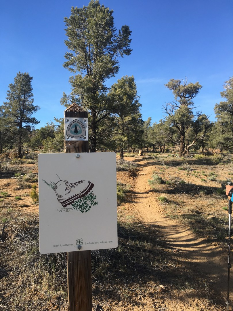
After another twelve more days of camping we are ready for a break!  Passed the 500 mile marker this segment and have done an impressive (for me at least) +104901/-105810 ft of elevation gain/loss since we started.  I’m sure that stat will skyrocket in the Sierras…

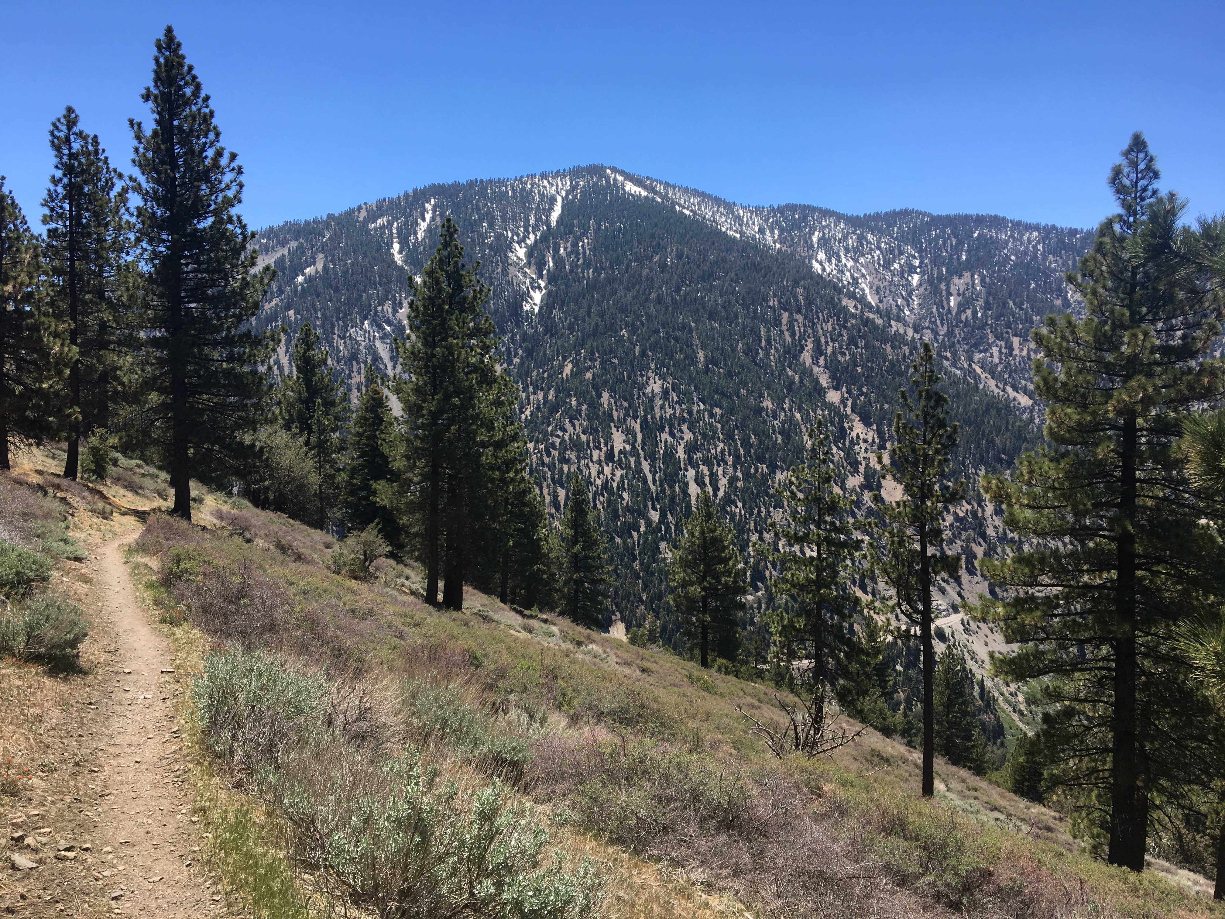
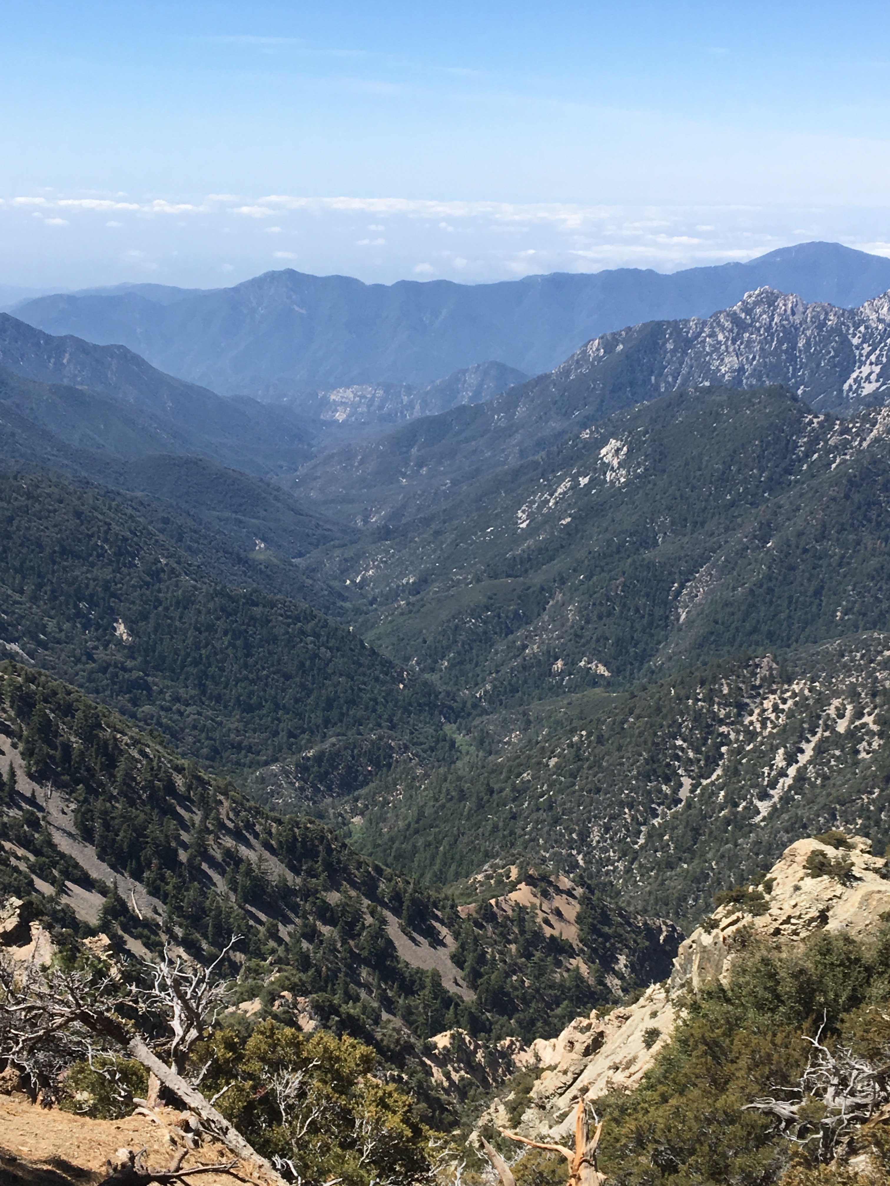
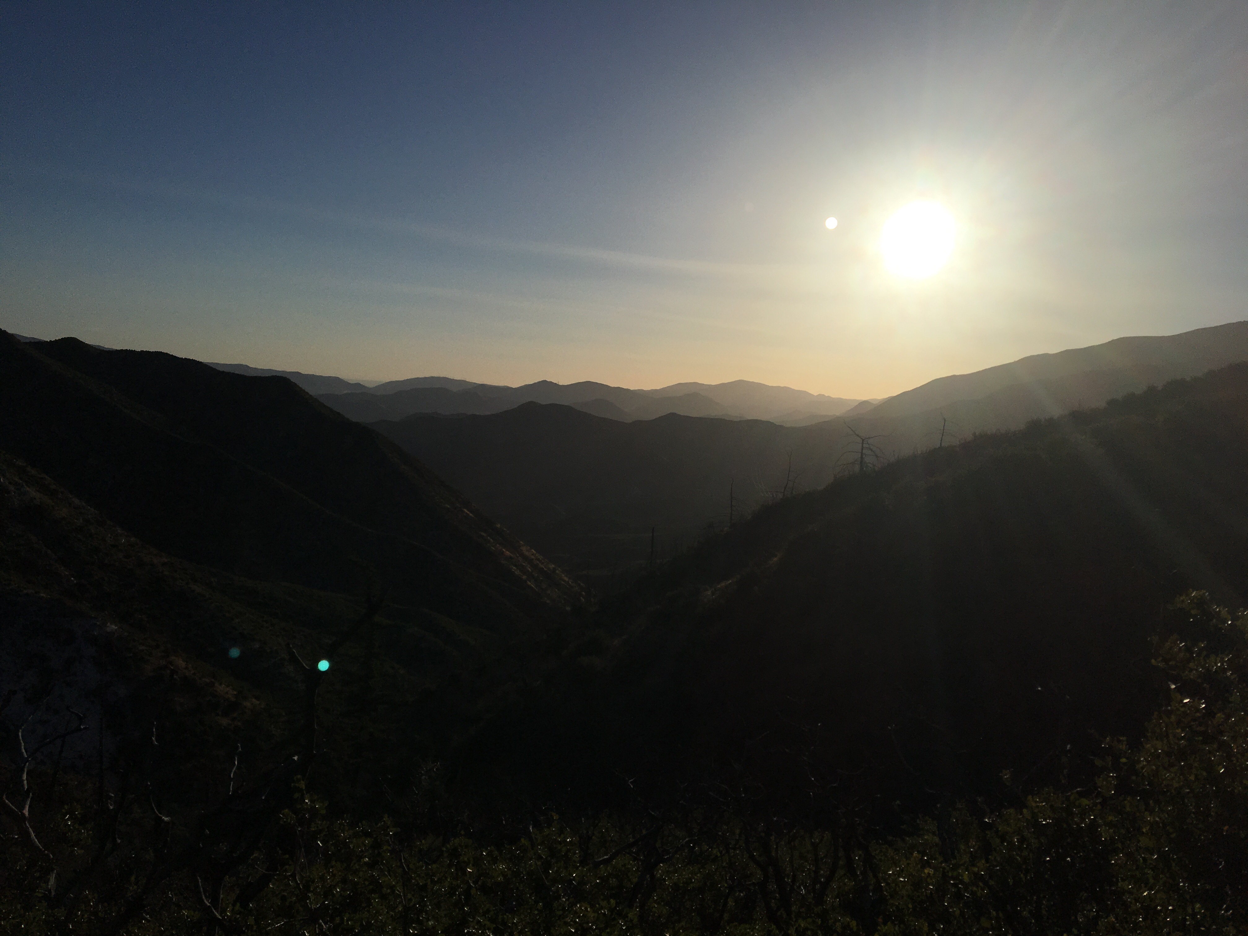
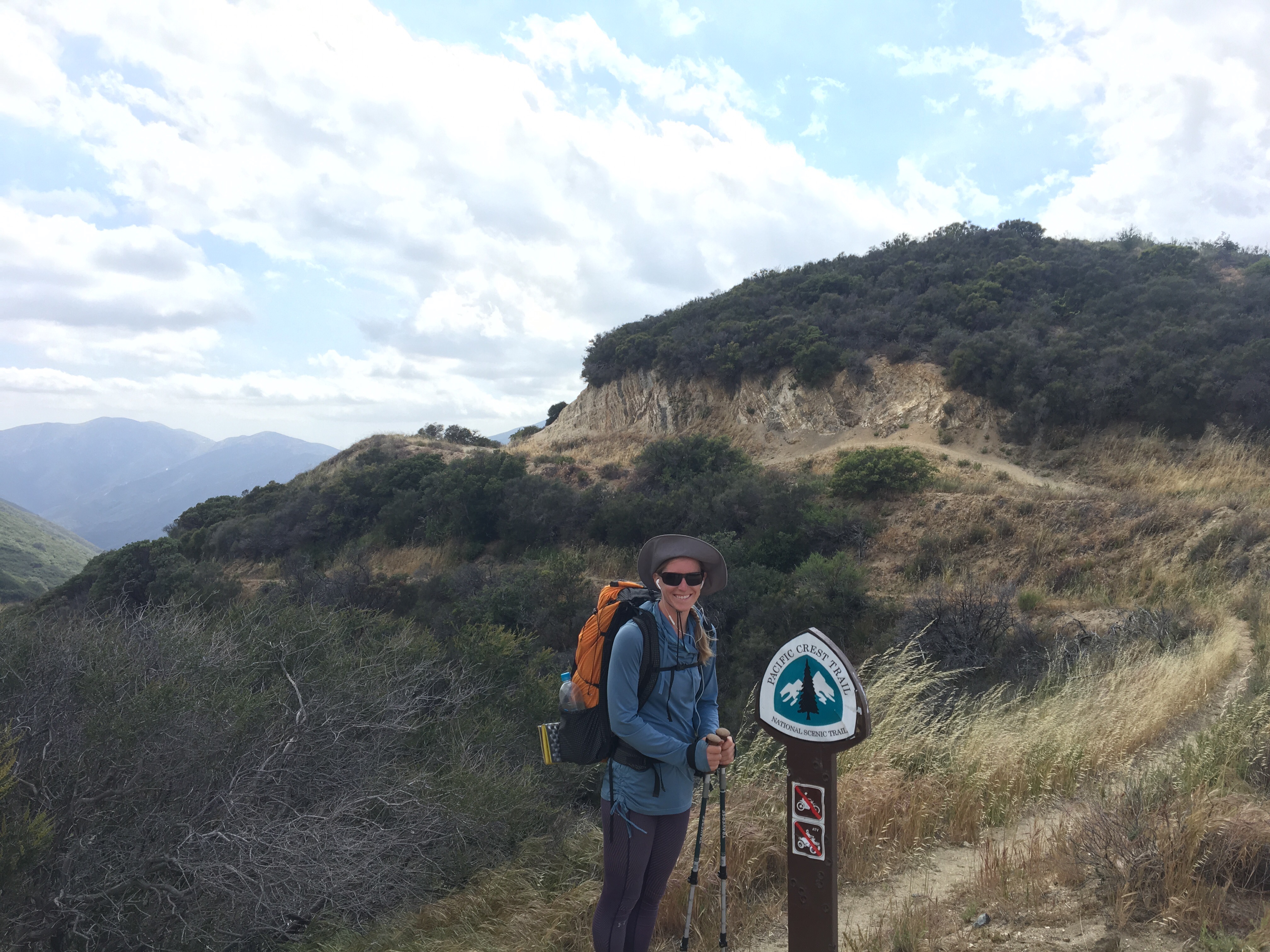
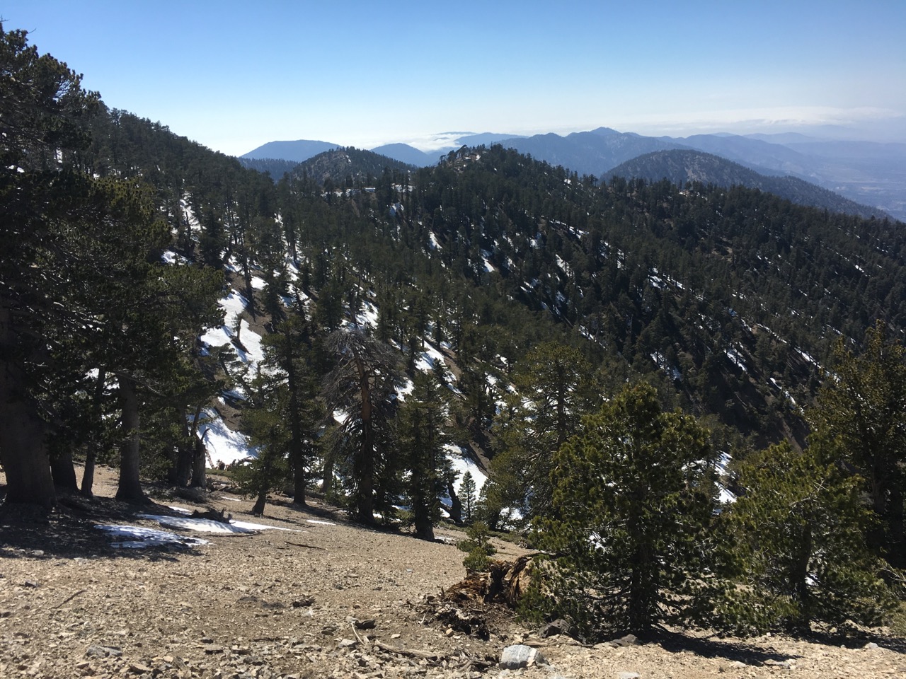
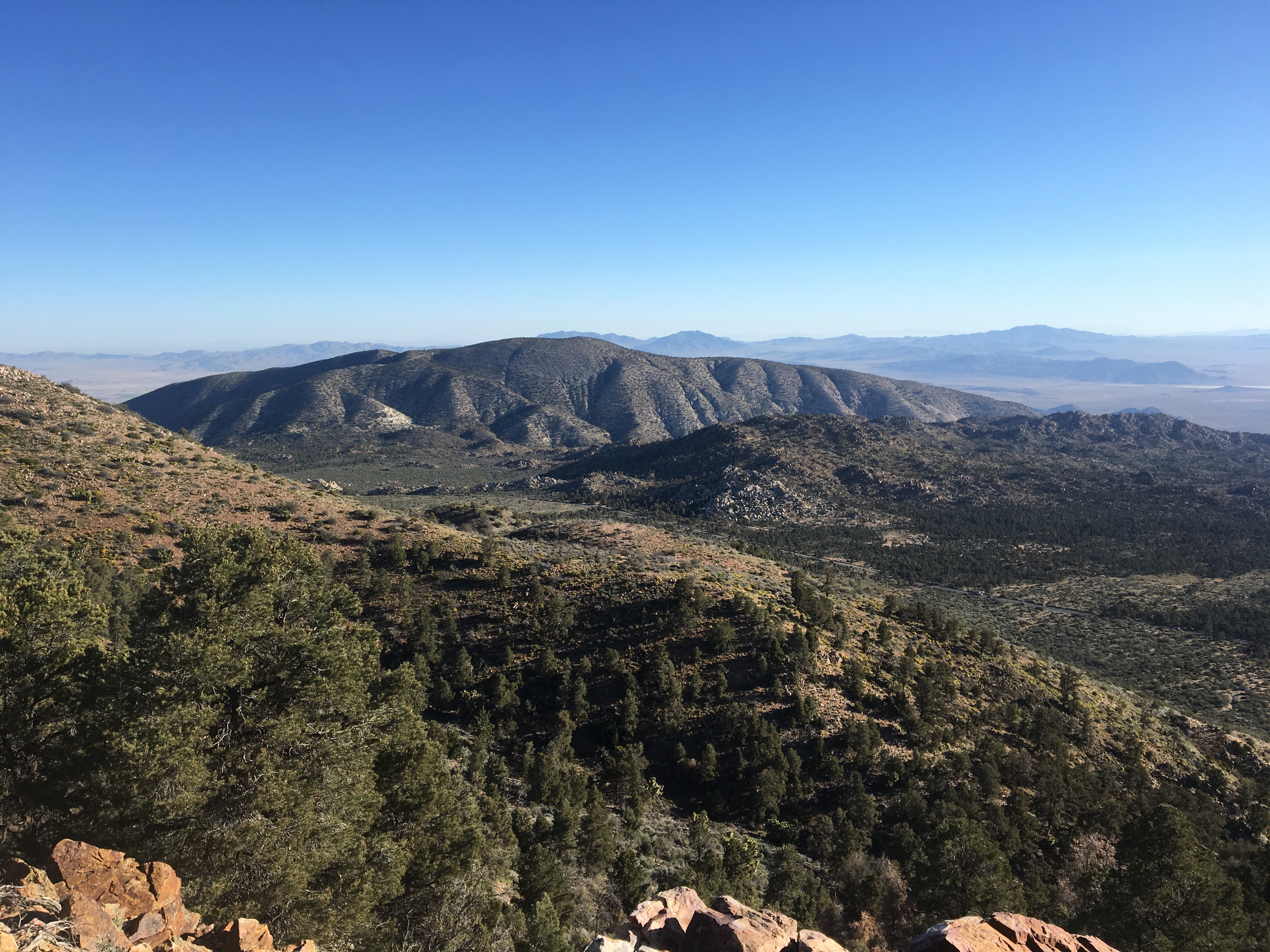
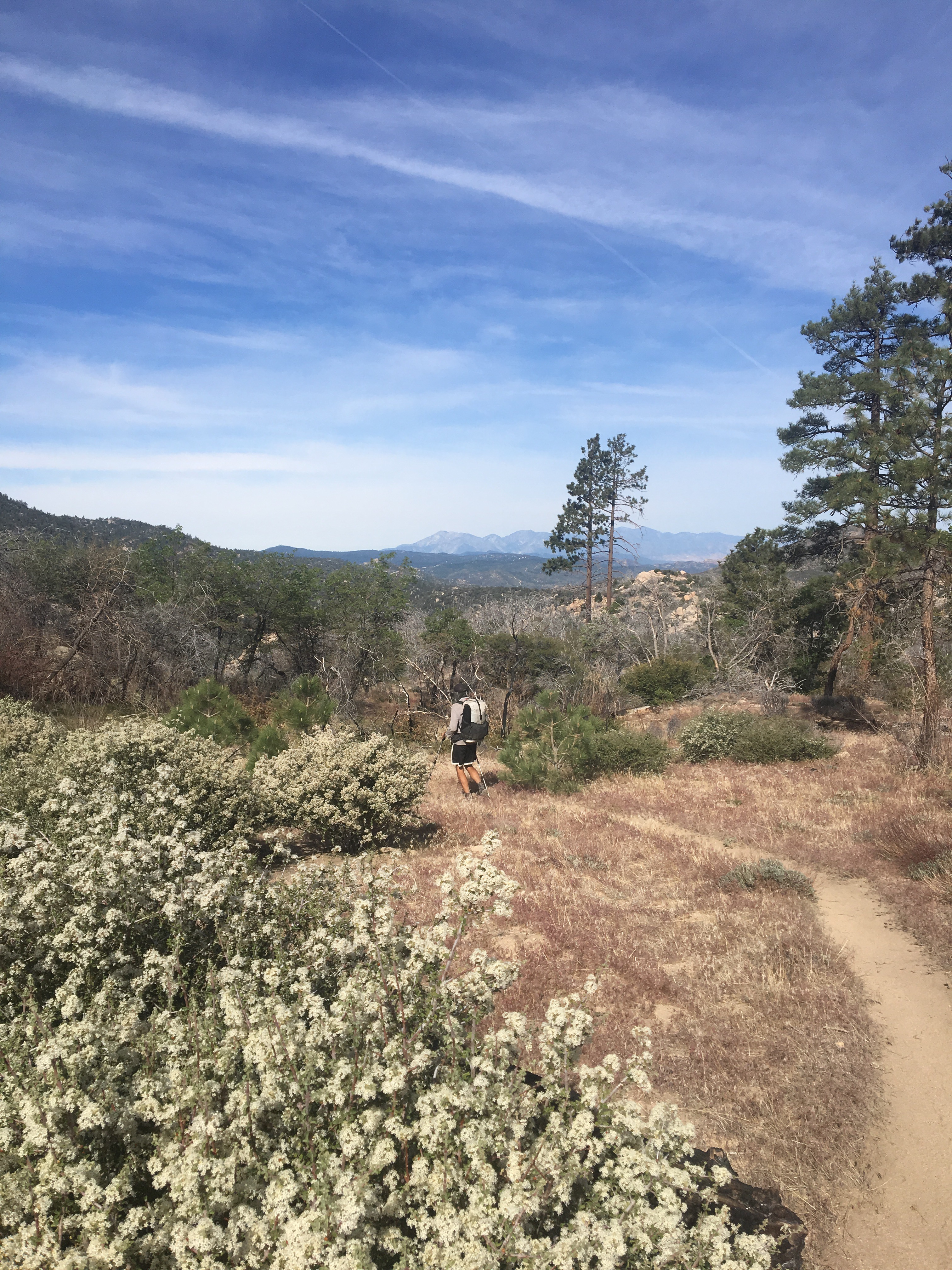
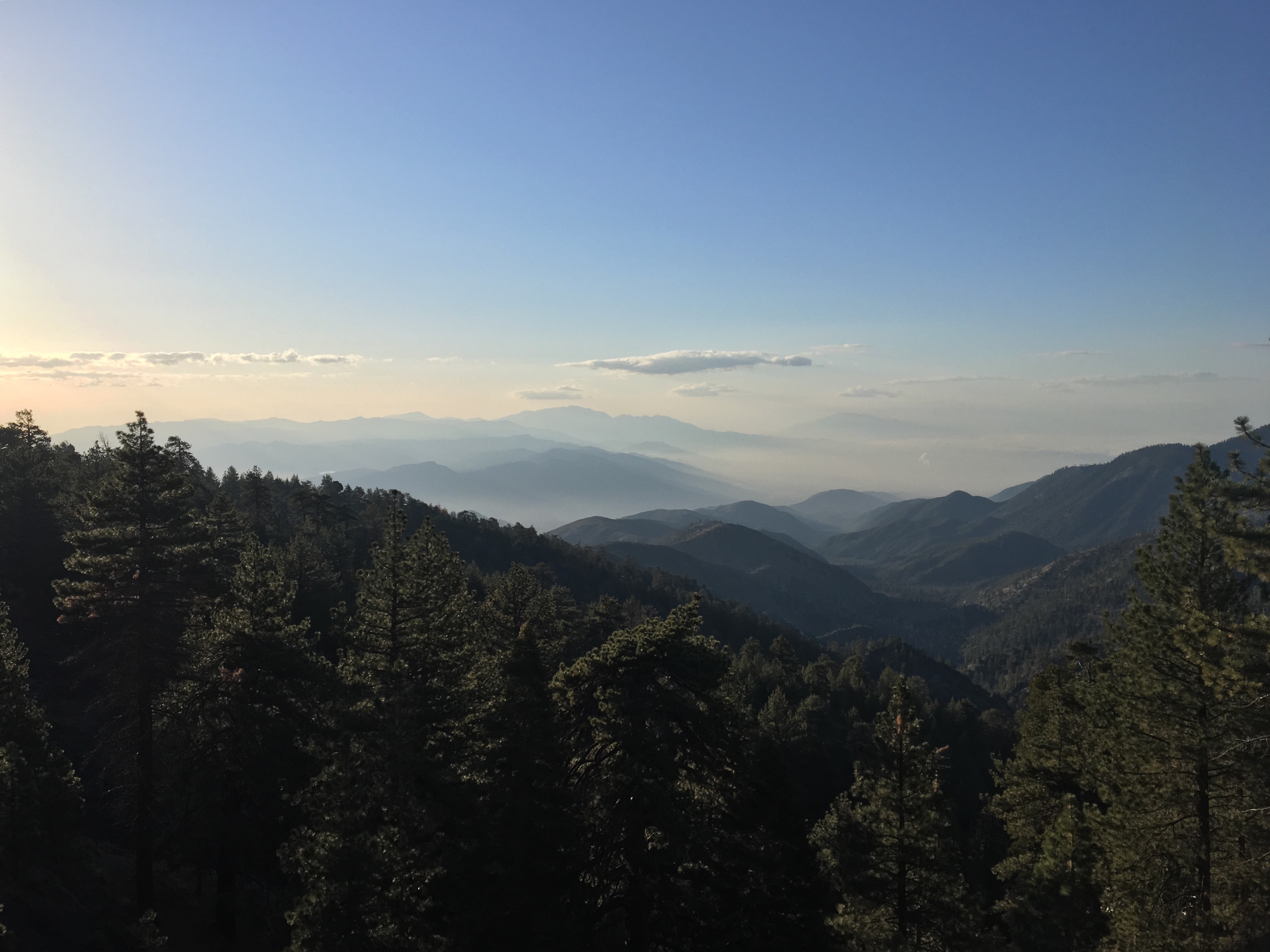
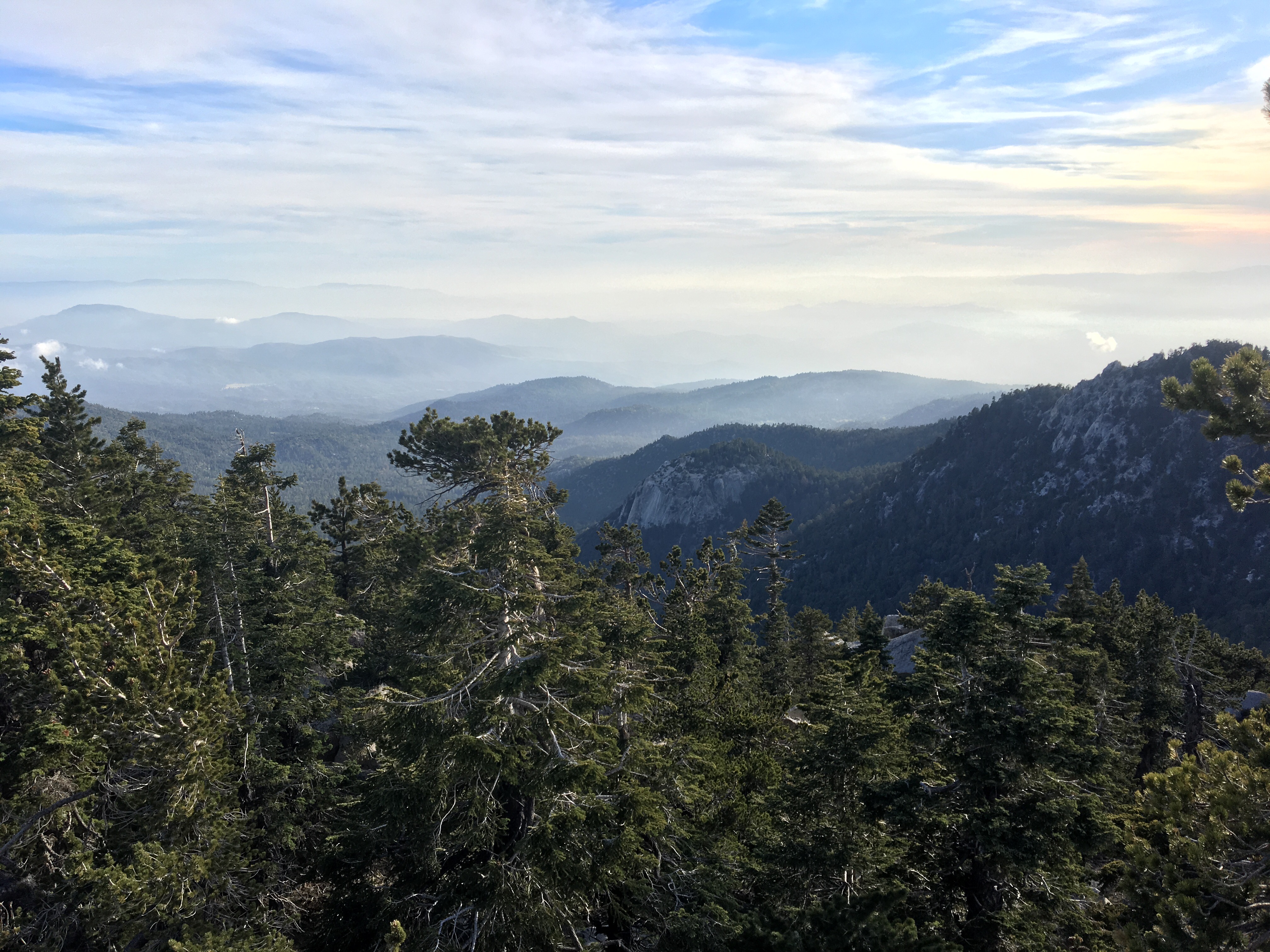
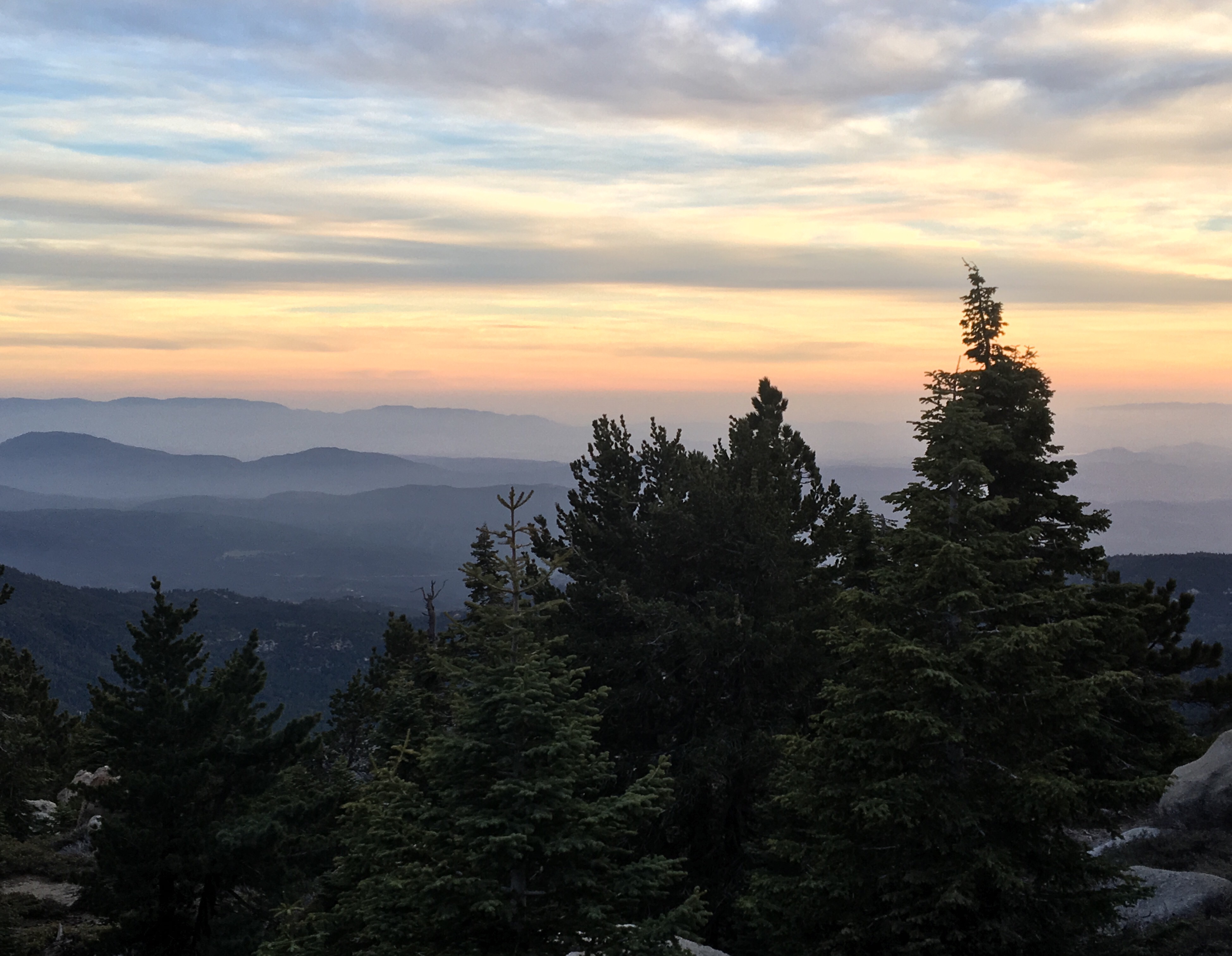
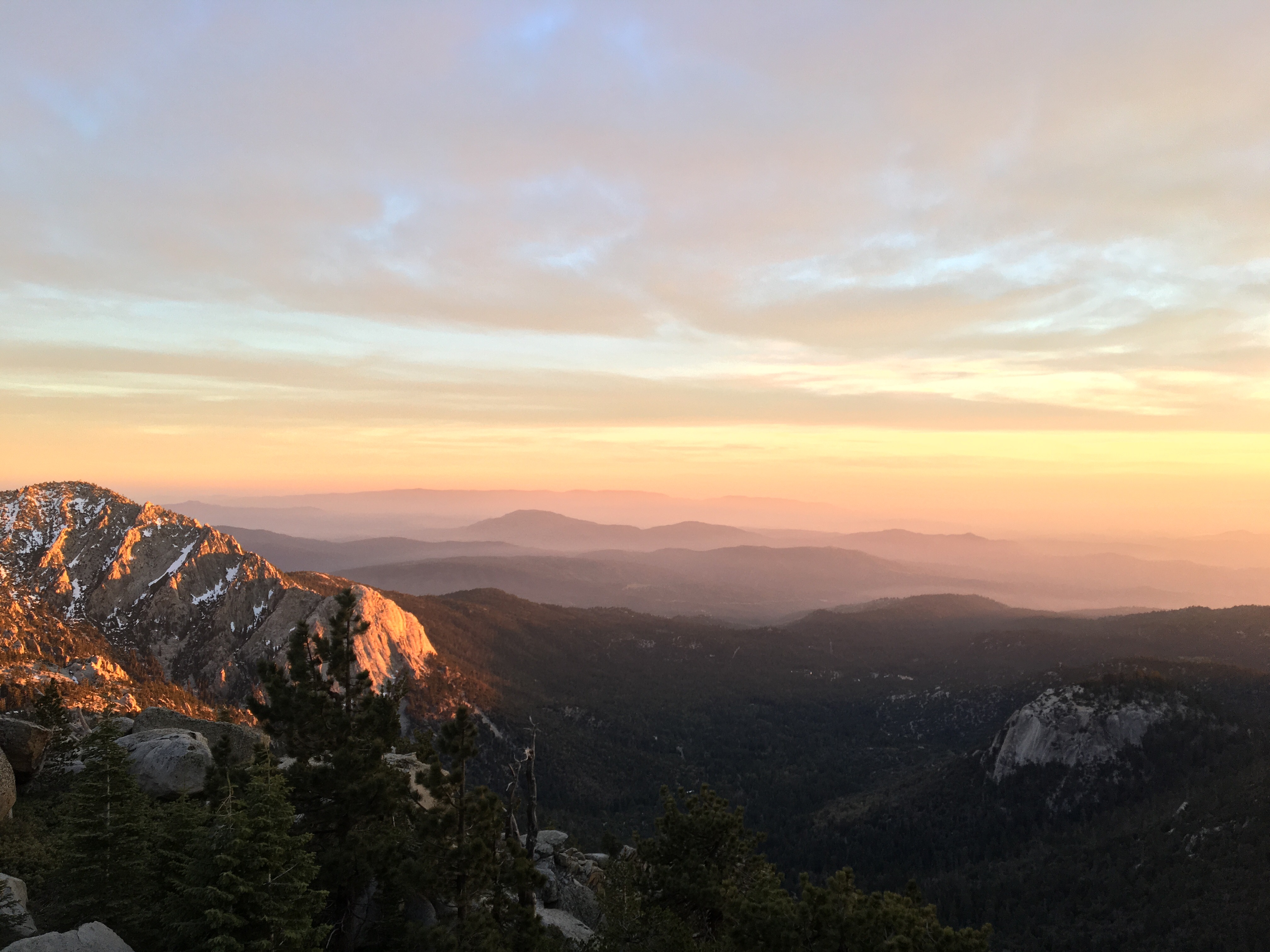
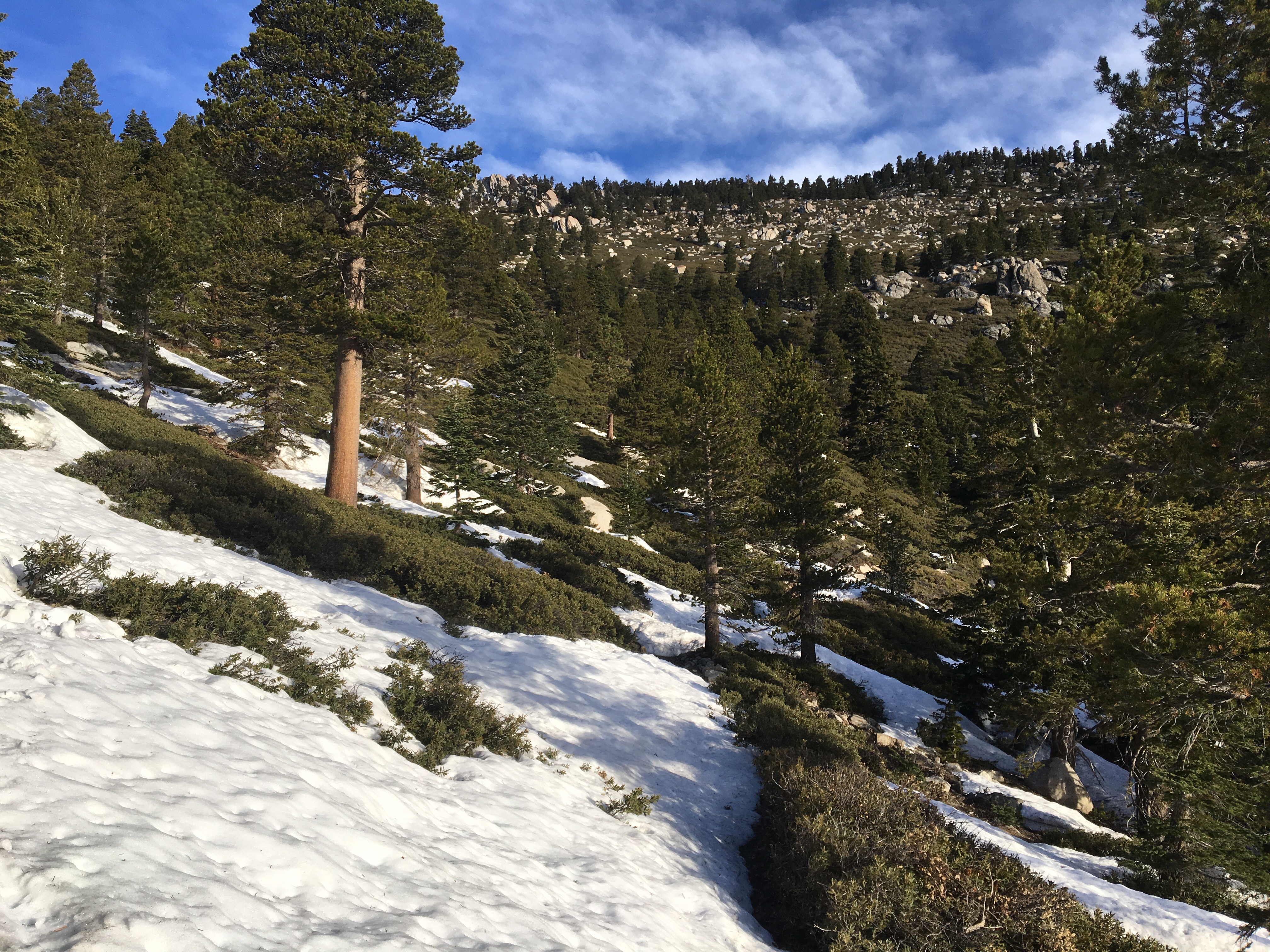
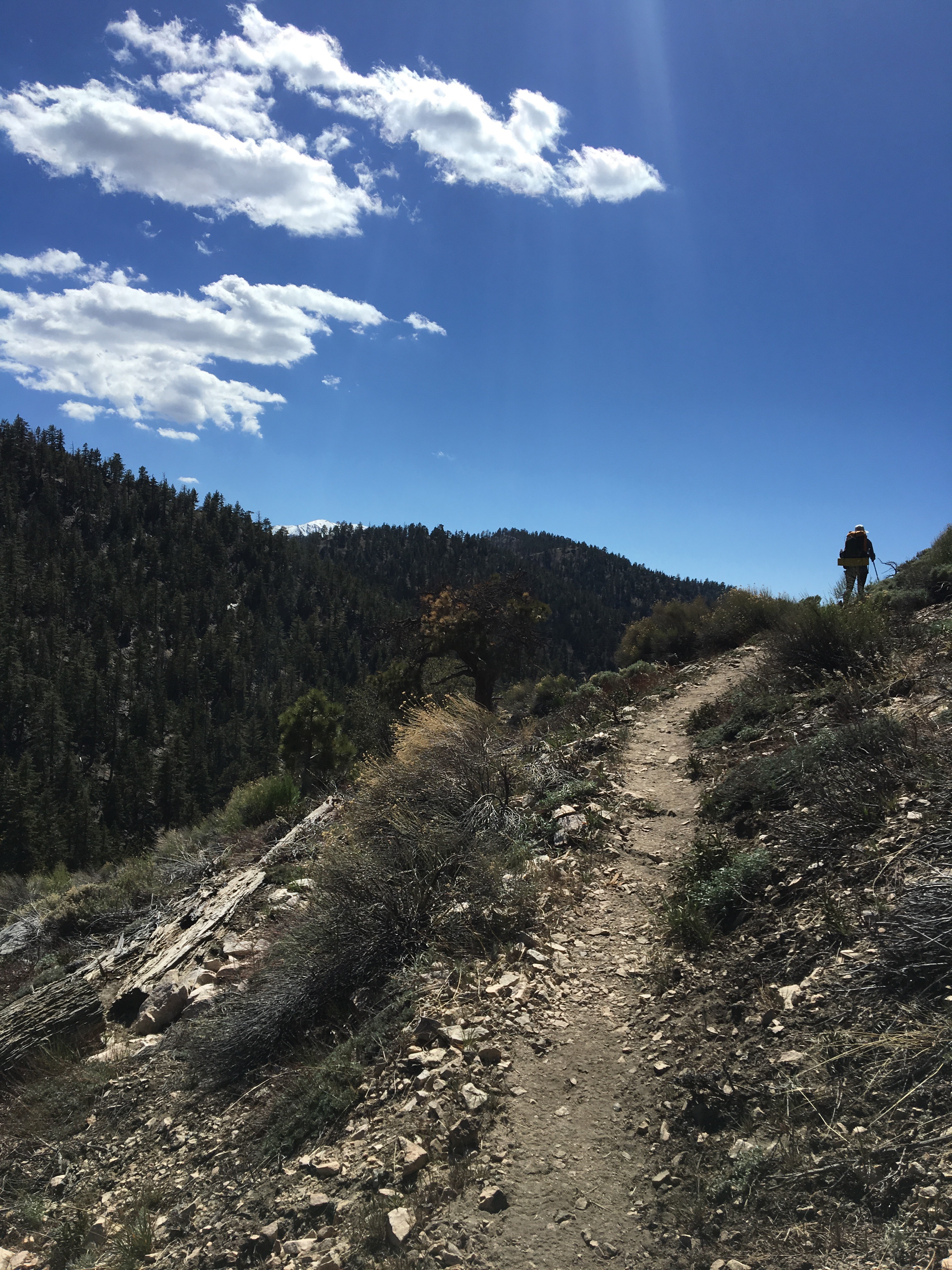
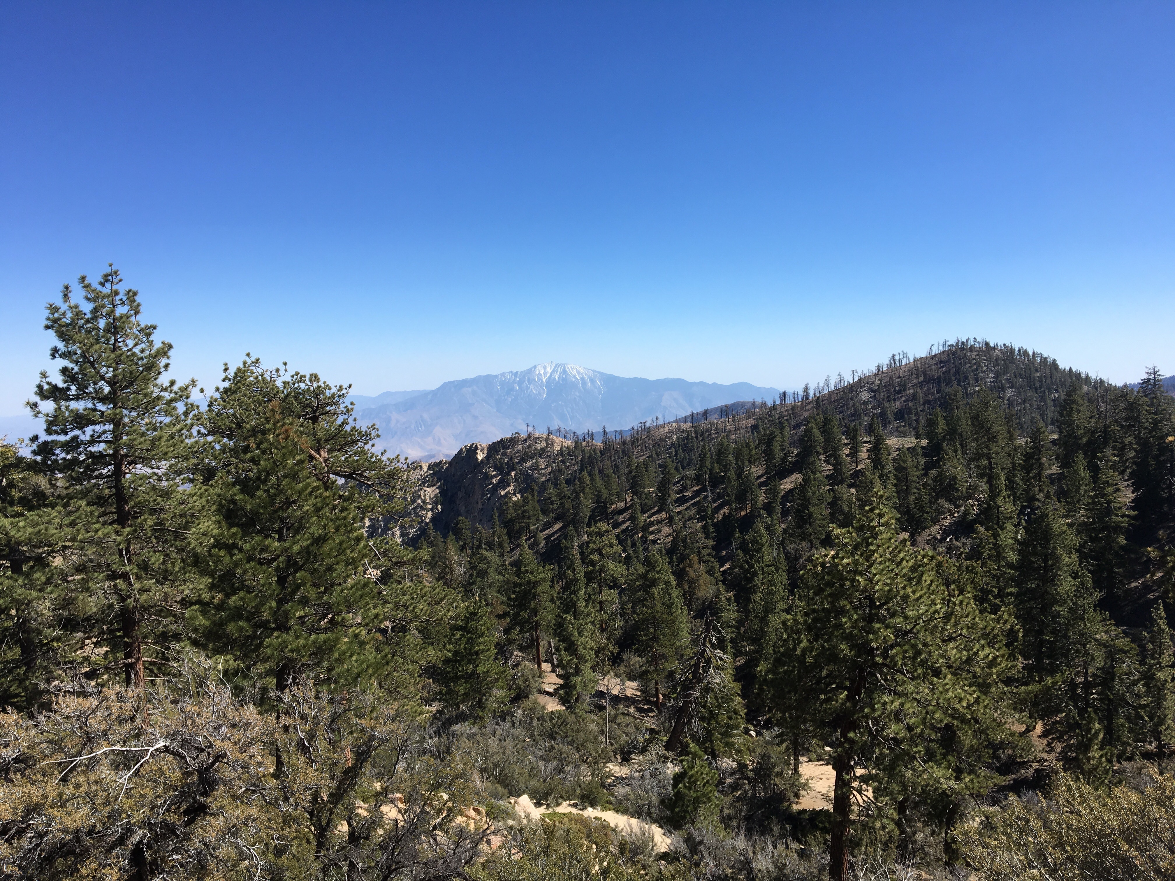
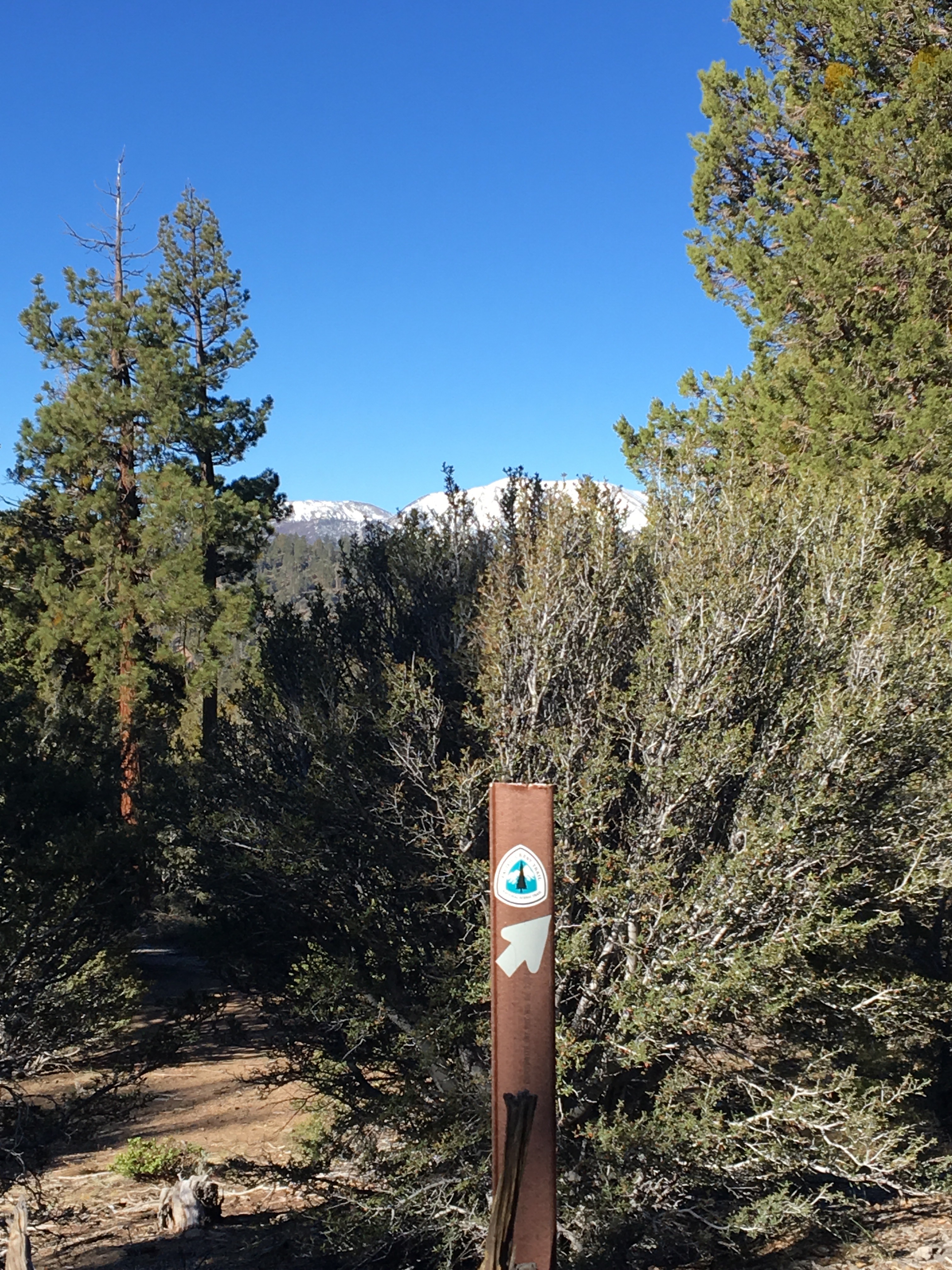
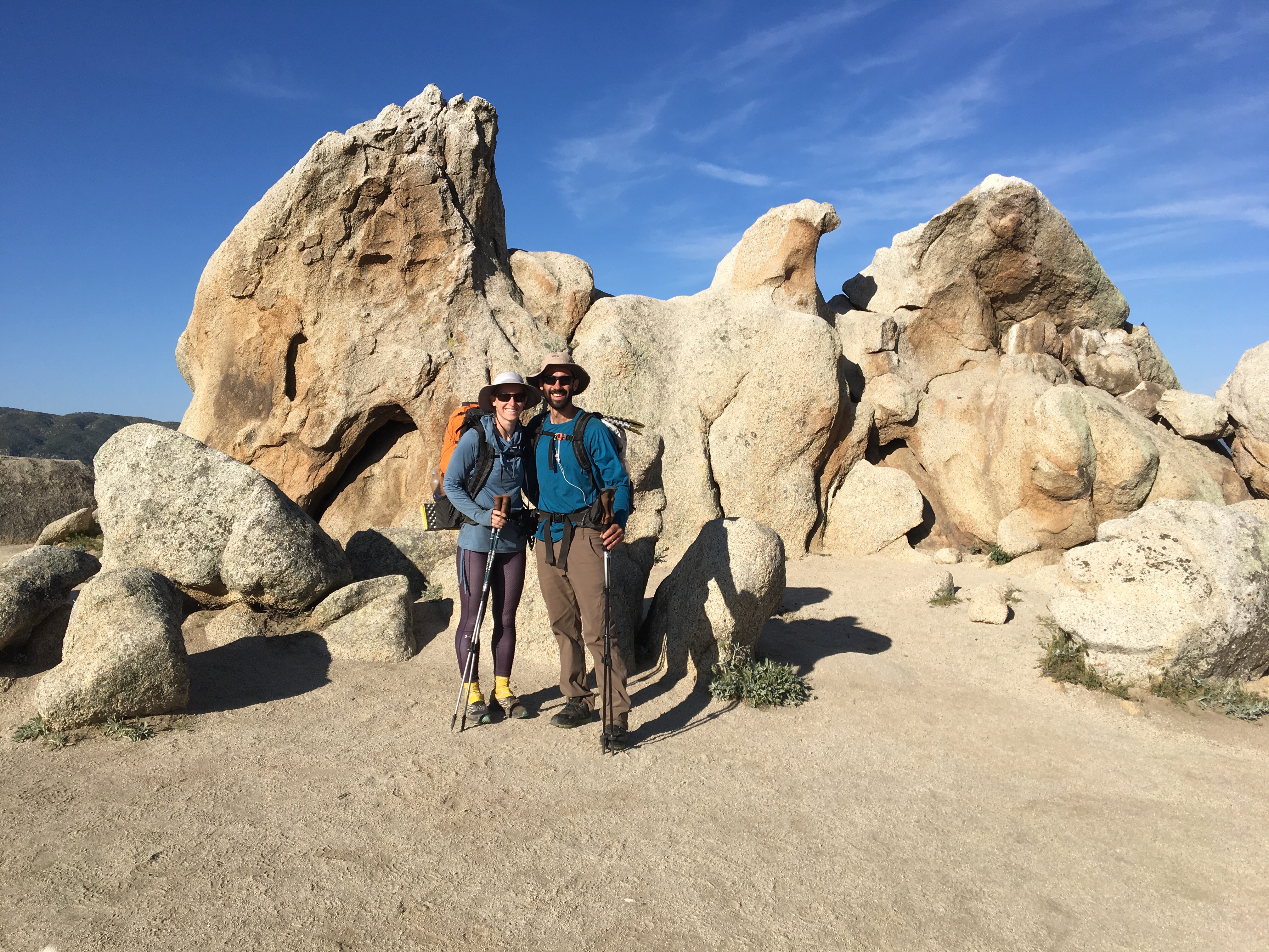
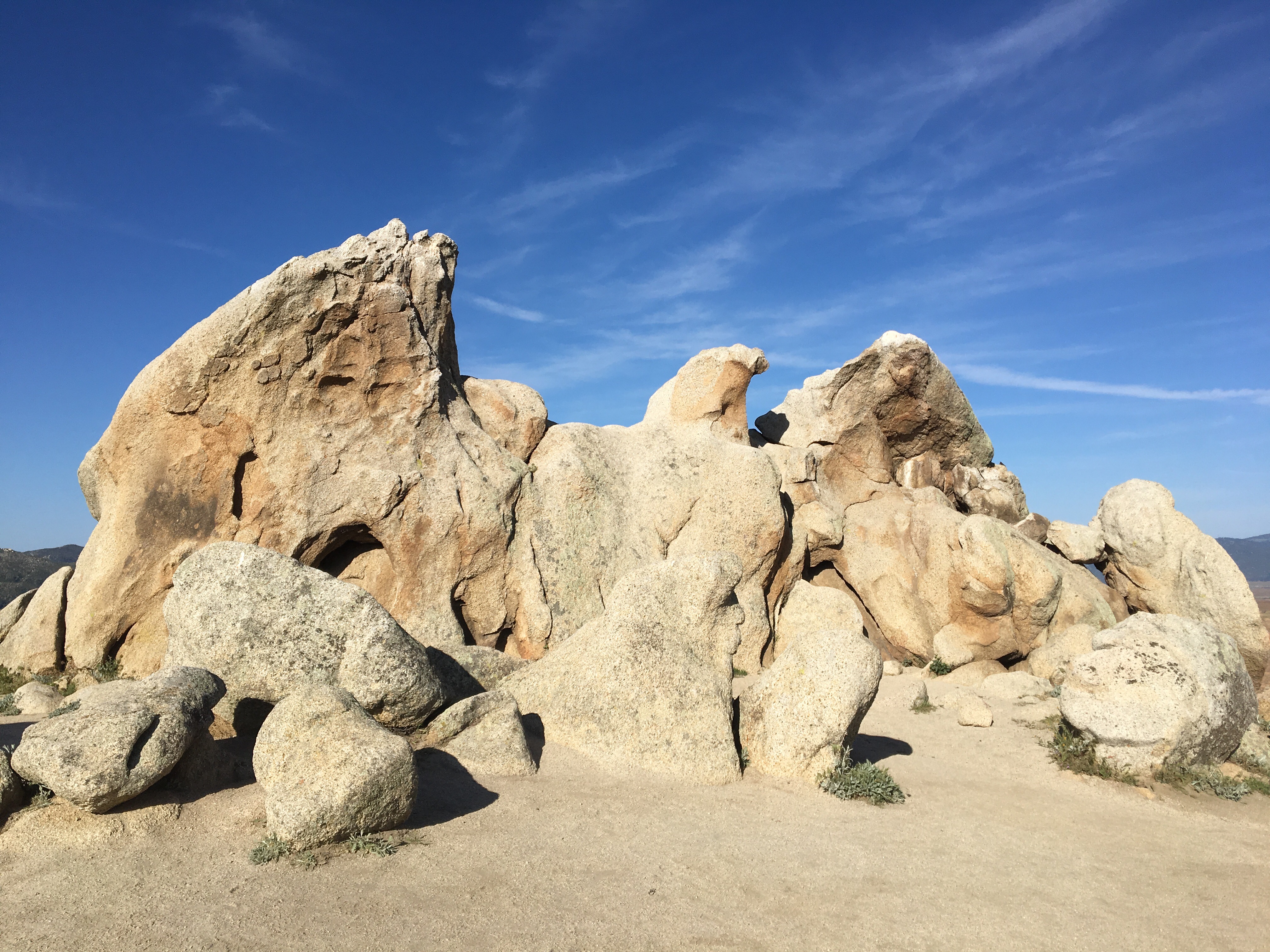
Day 26 – After a lazy morning in Wrightwood and many cups of coffee, we headed back to the trail and up Mount Baden-Powell – a solid 38 switchbacks.  Good weather all day – sun, shade, and a cool breeze.  Camped a few miles past the summit spur trail, near Mount Burnham, at mile 379.5.

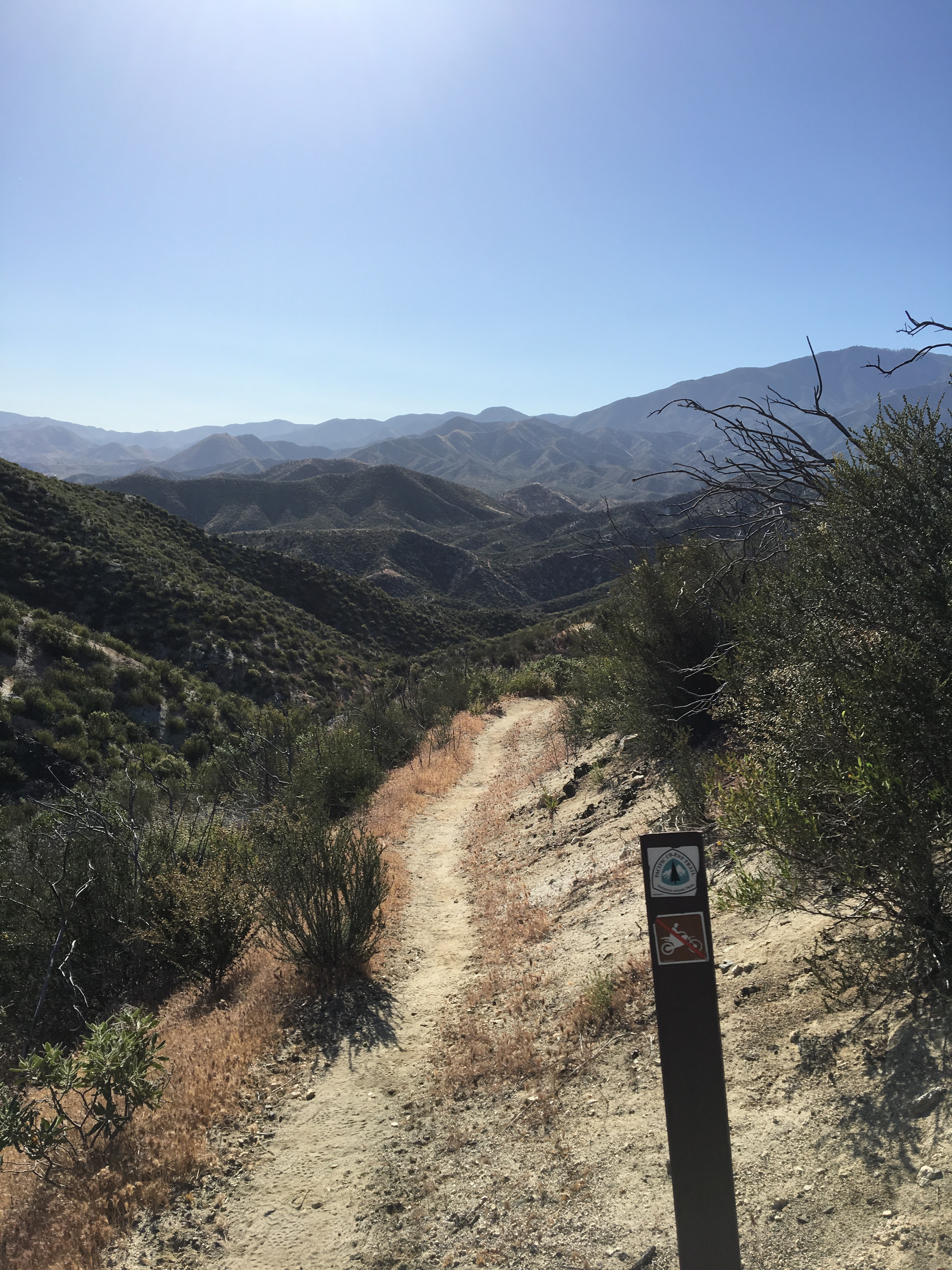
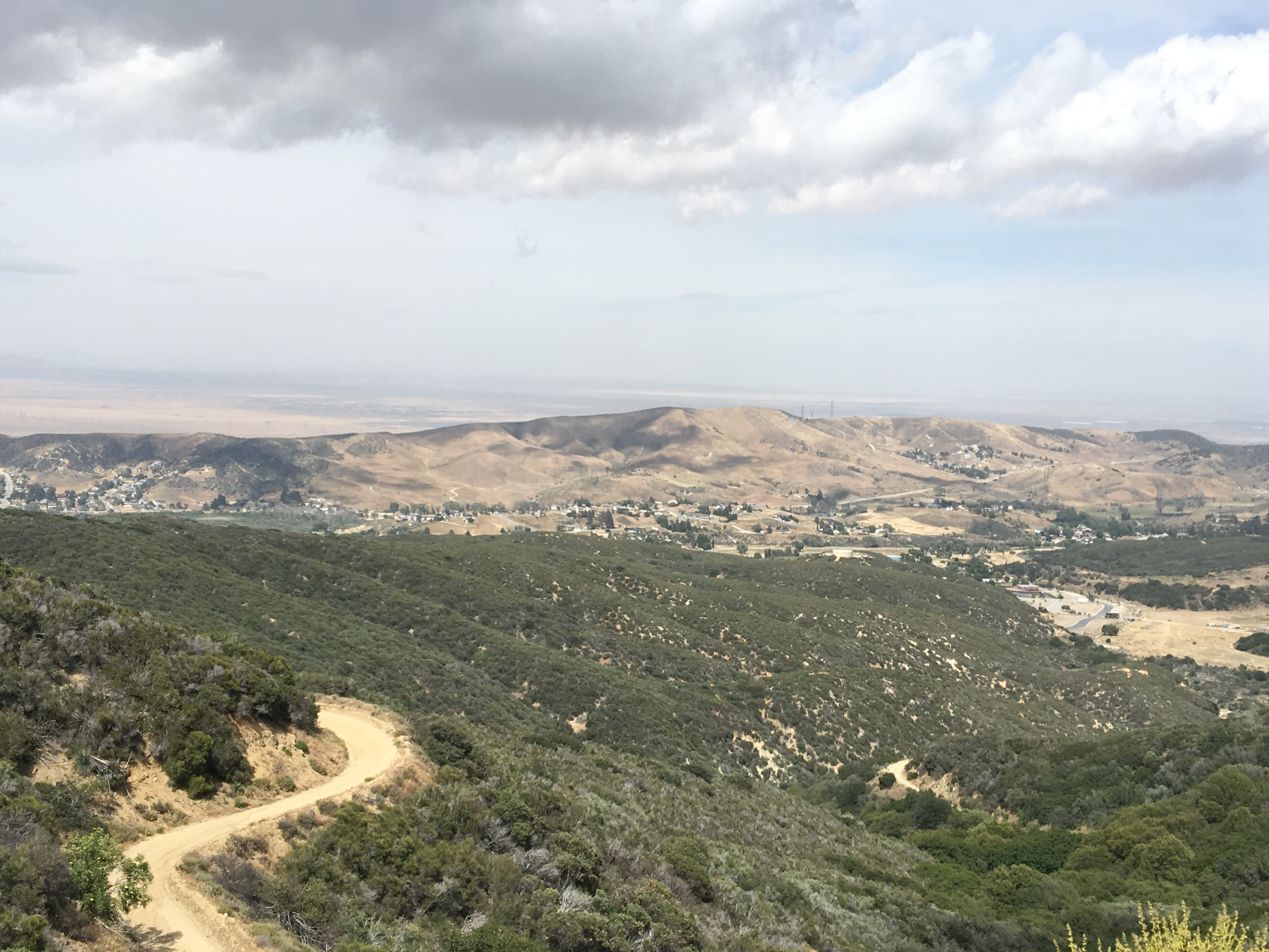
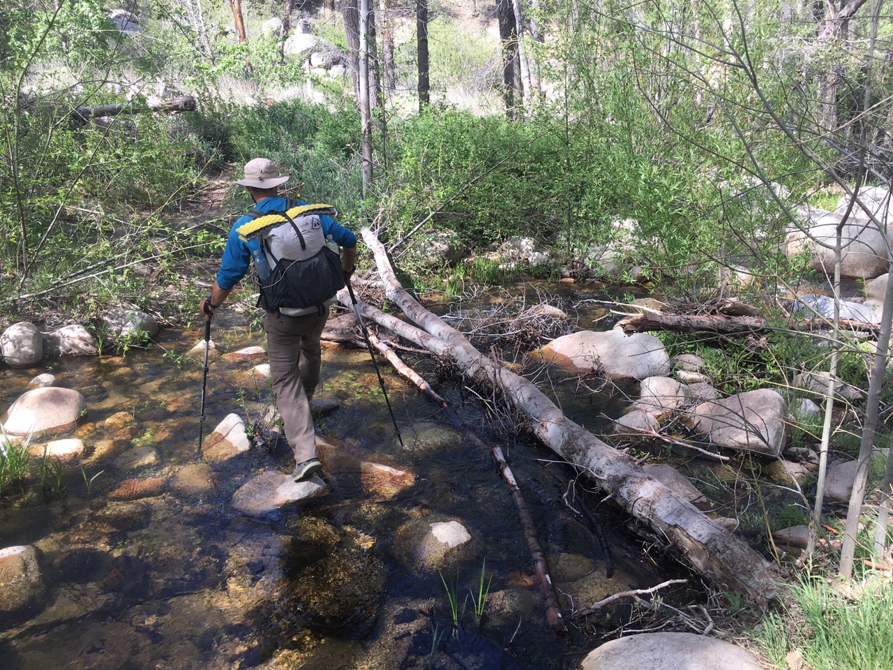
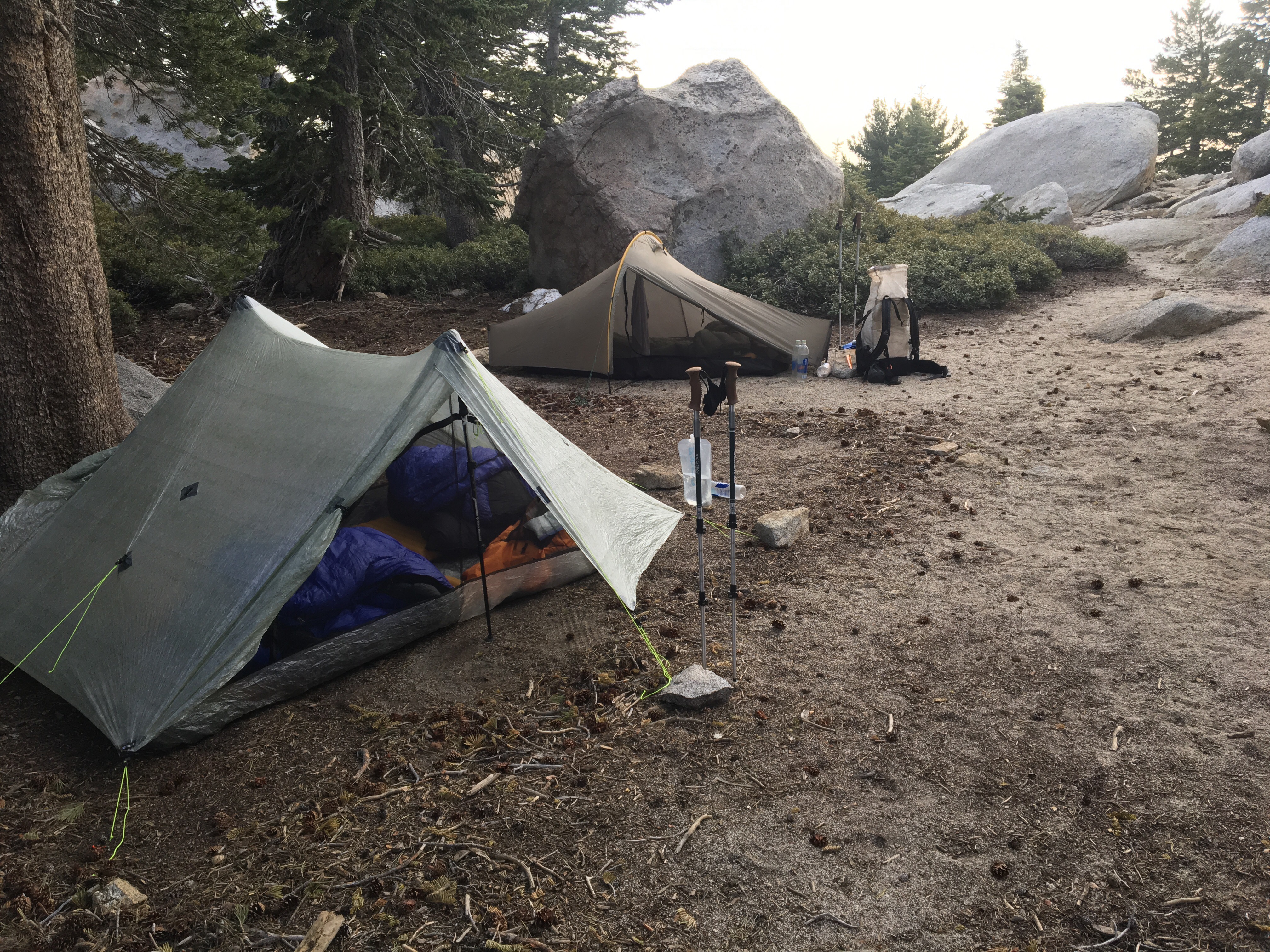
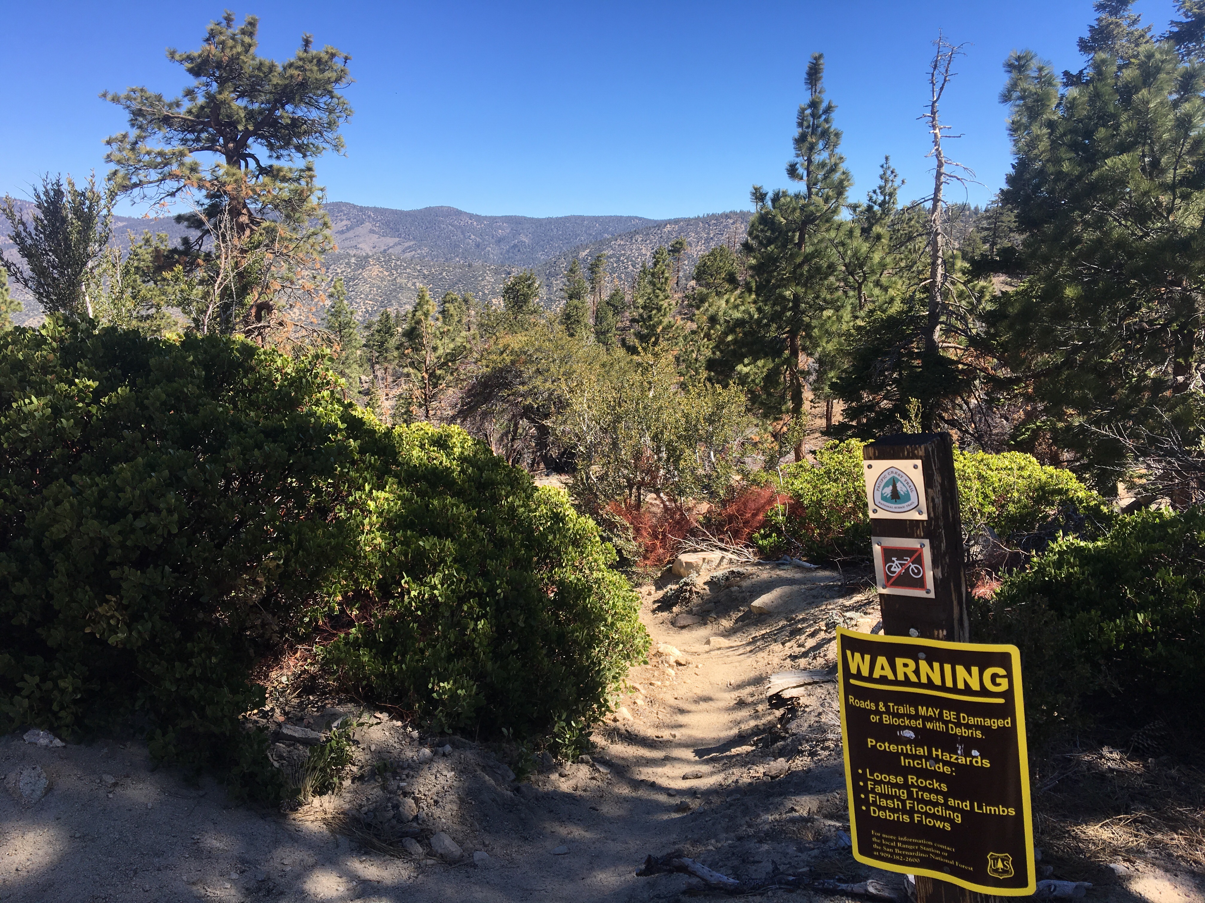
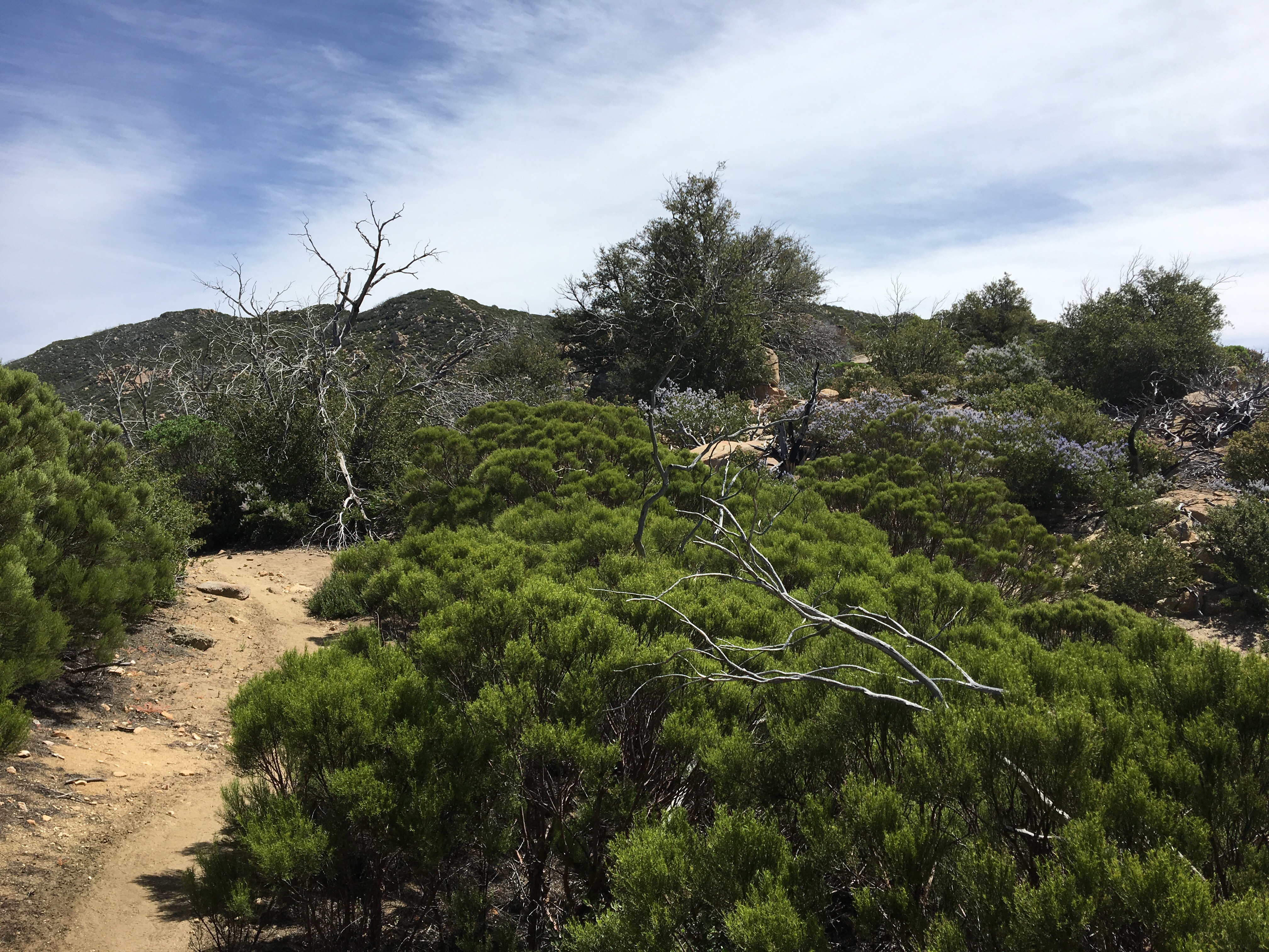
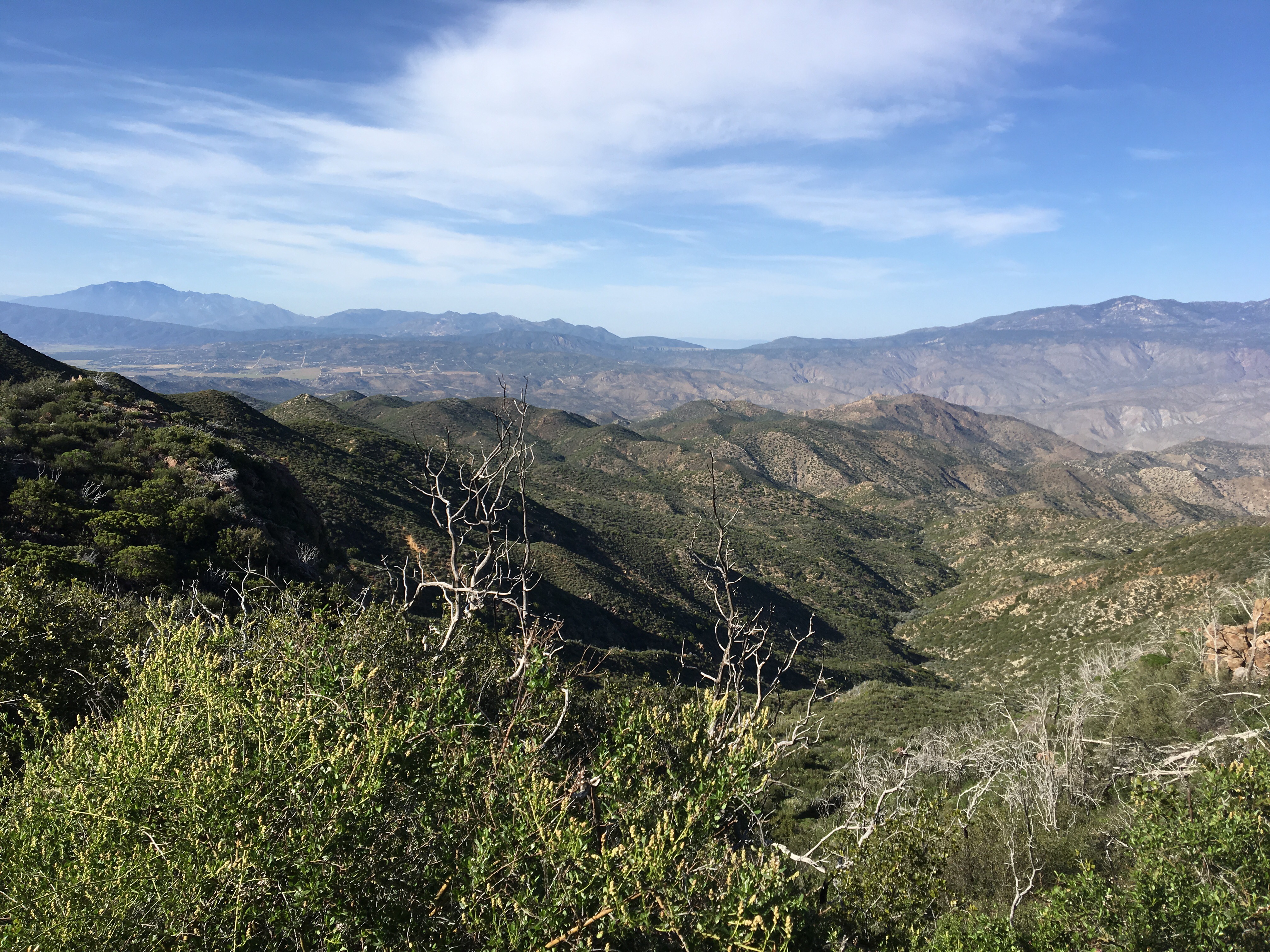
Day 27 – Started out the day hiking along the ridge, eventually dropping down to Hwy 2 for a ~5 mile road walk due to trail closure.  After taking the Buckhorn Trail back to the PCT we hiked another mile or so to Cooper Canyon Camp, at mile 395.2.

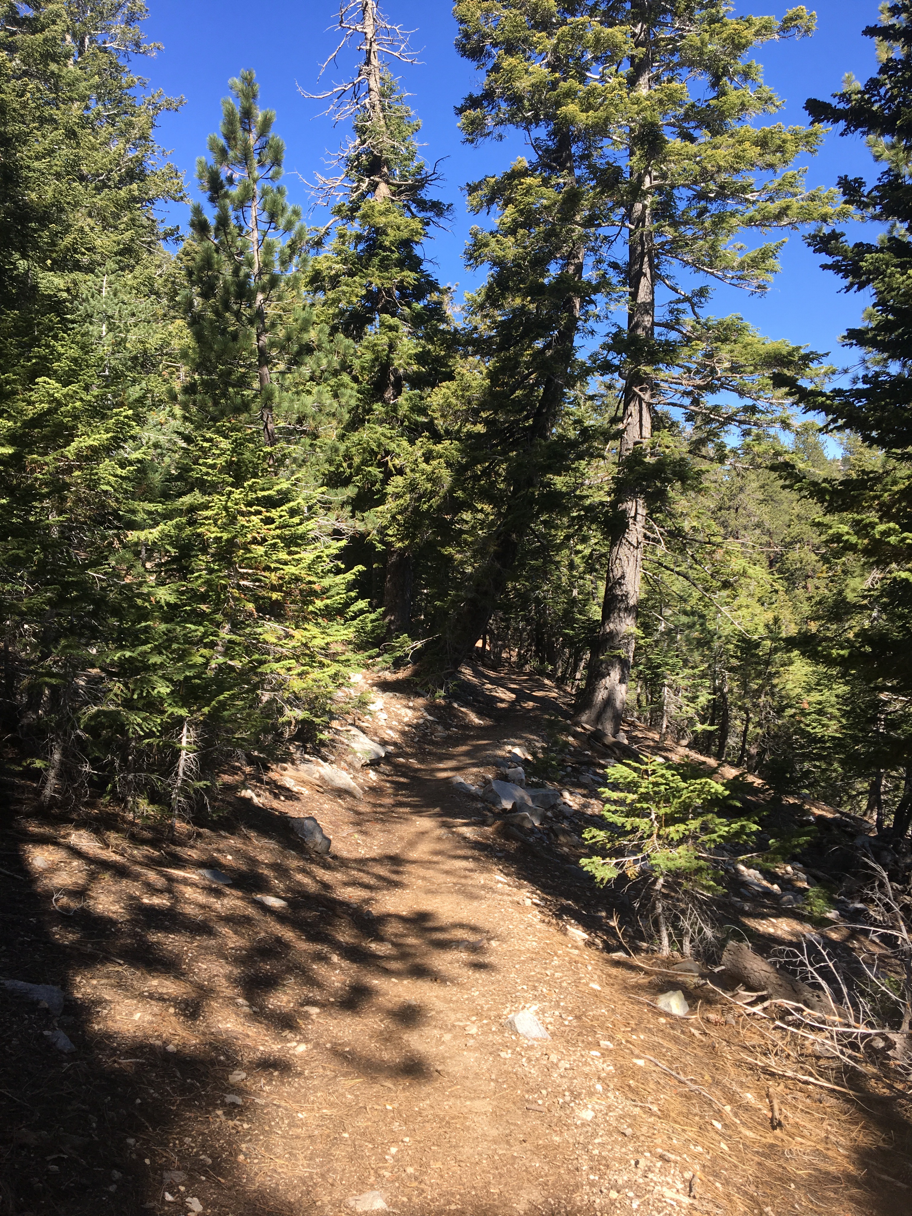
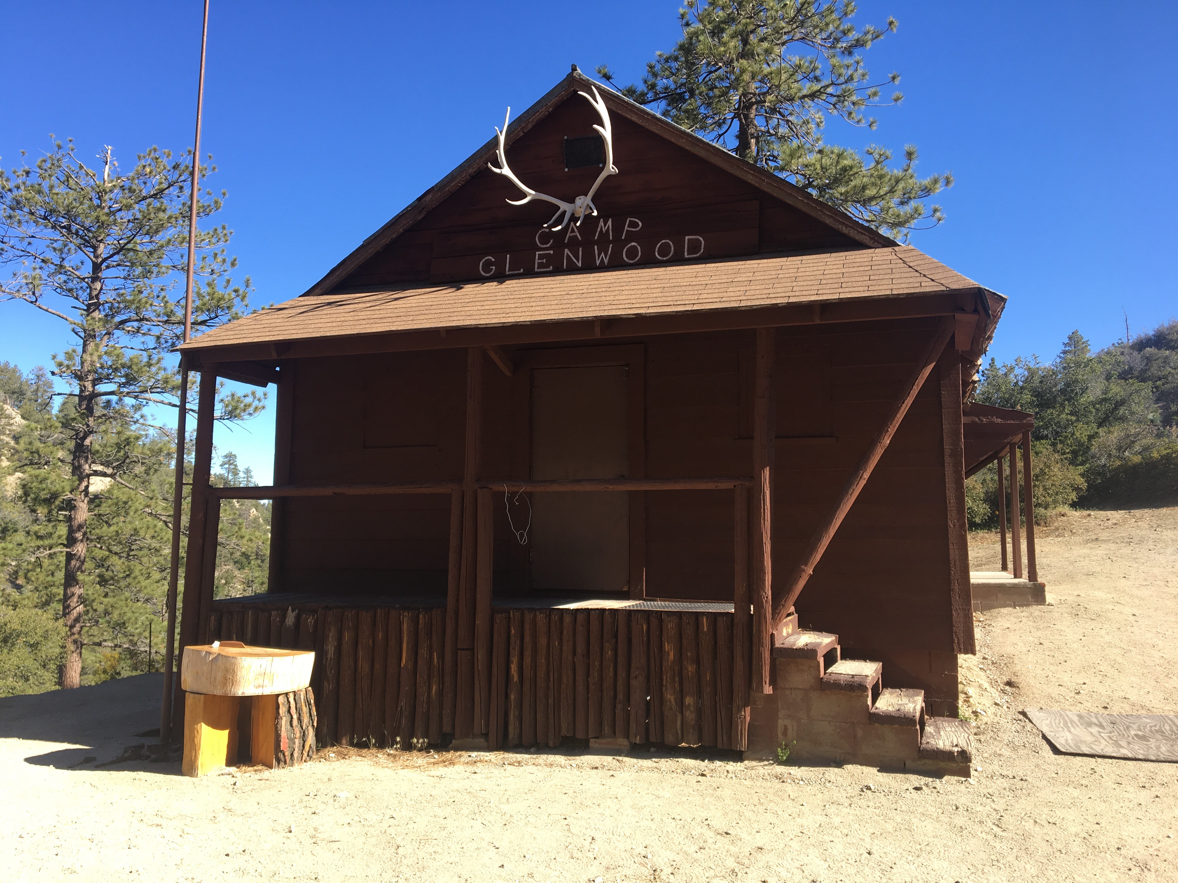
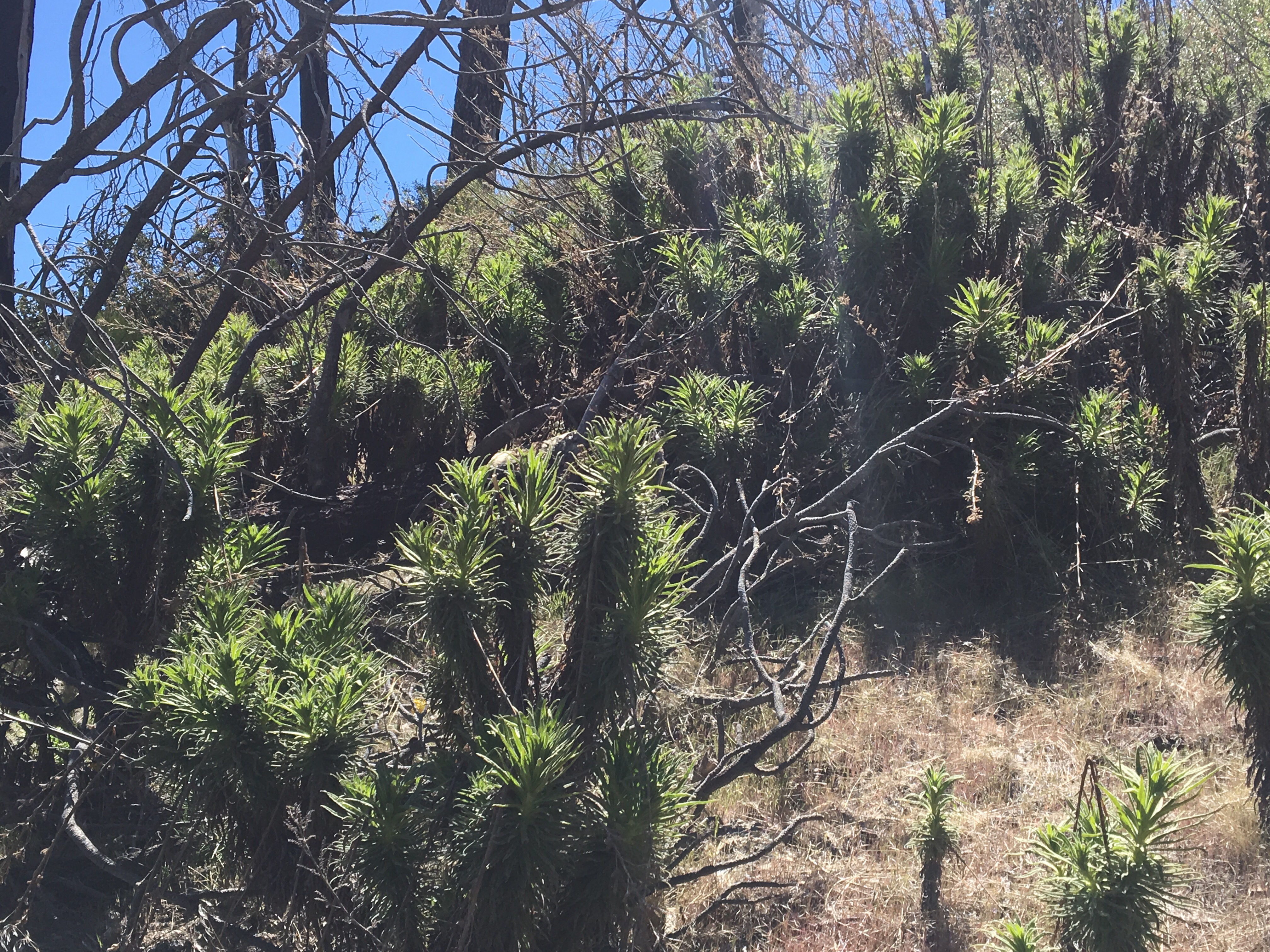
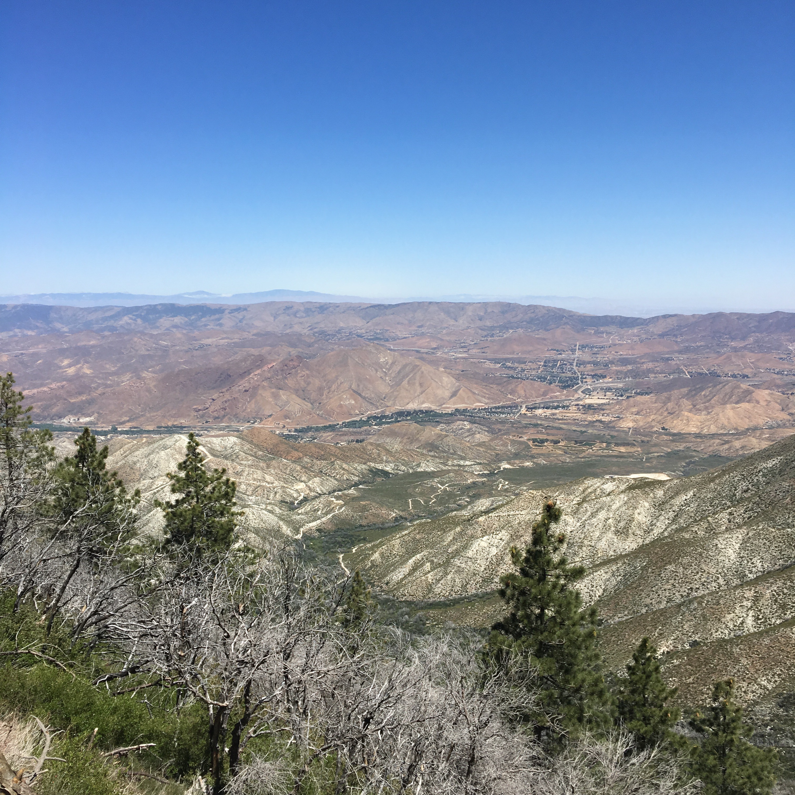
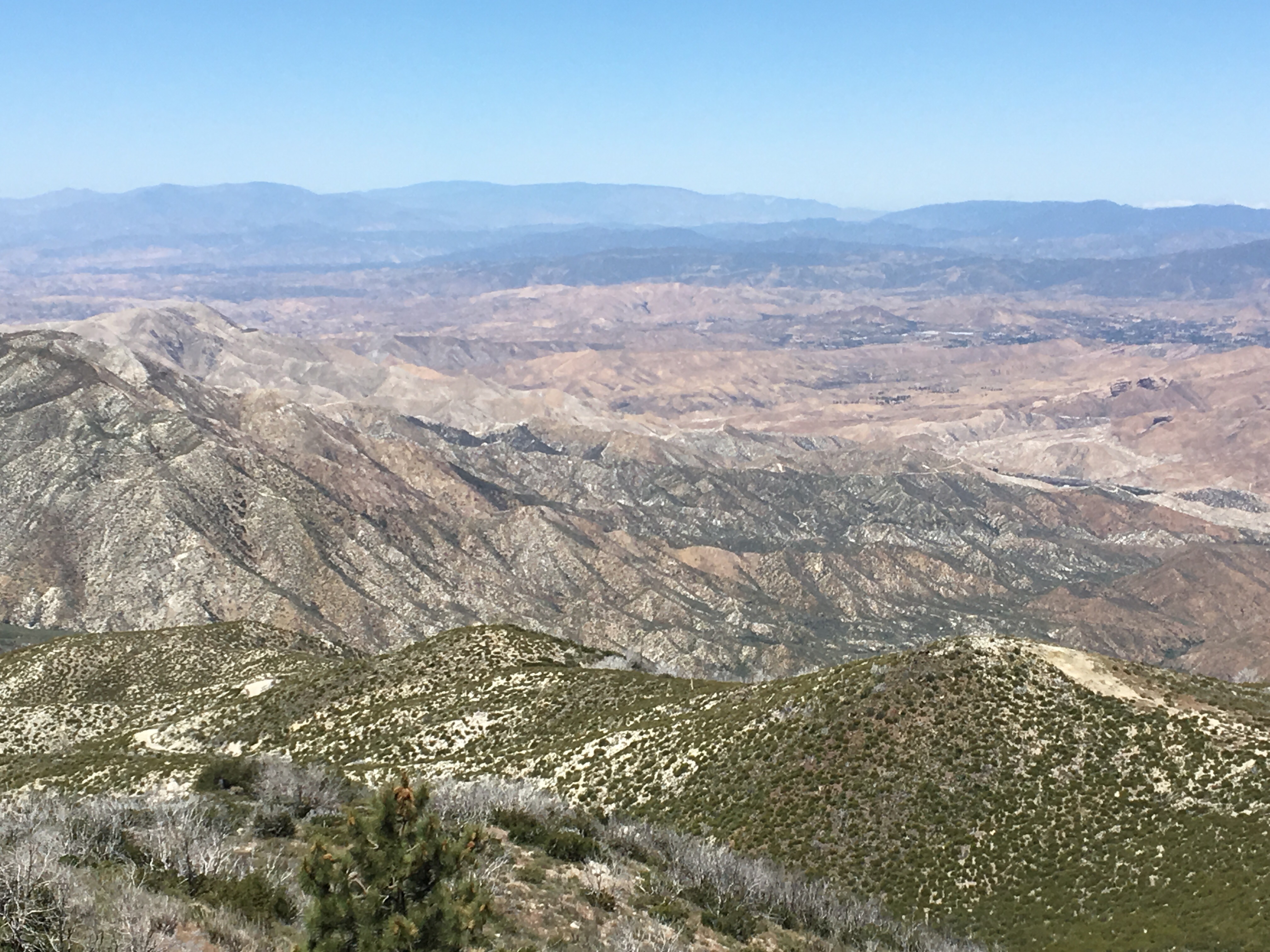
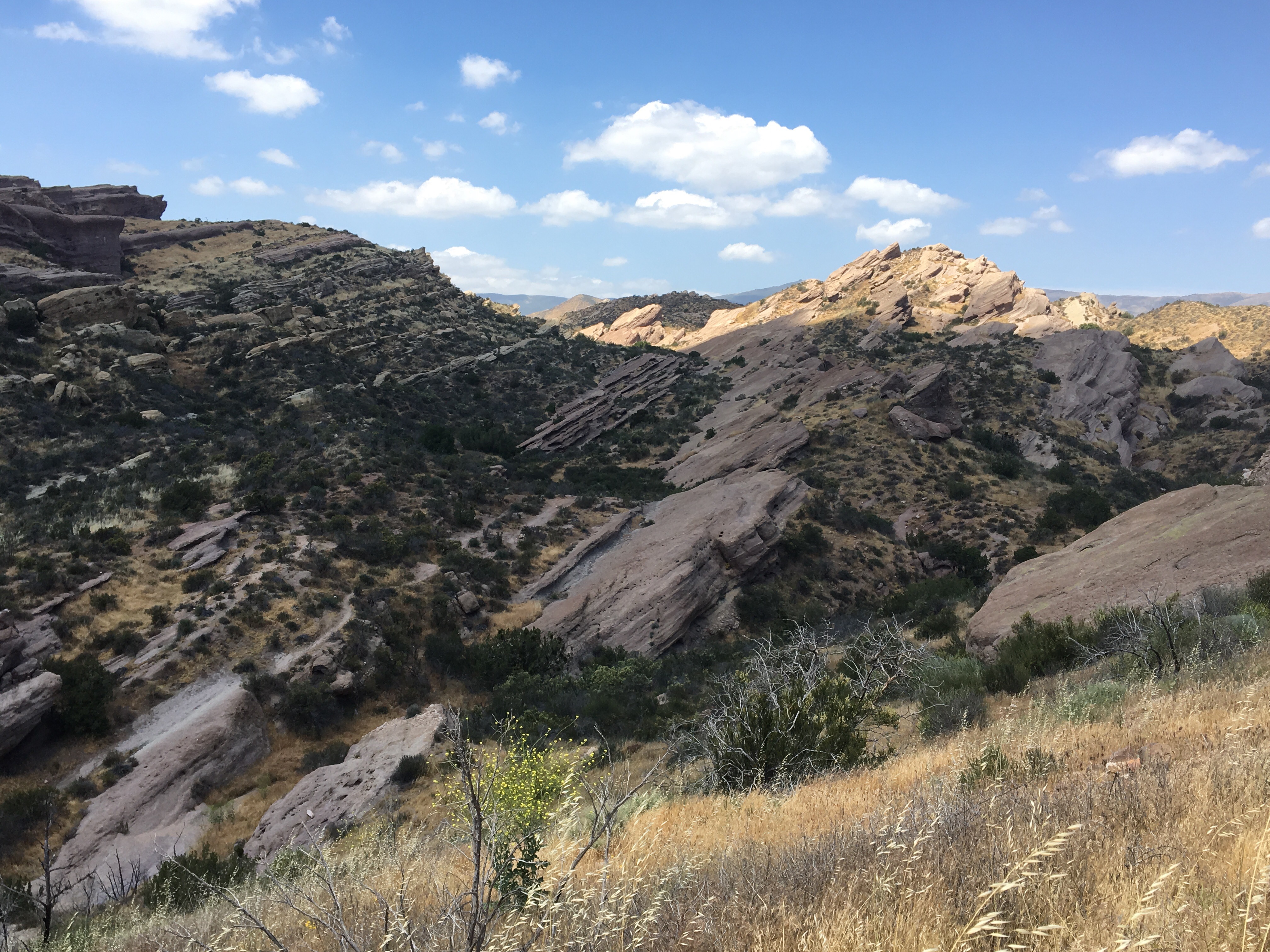
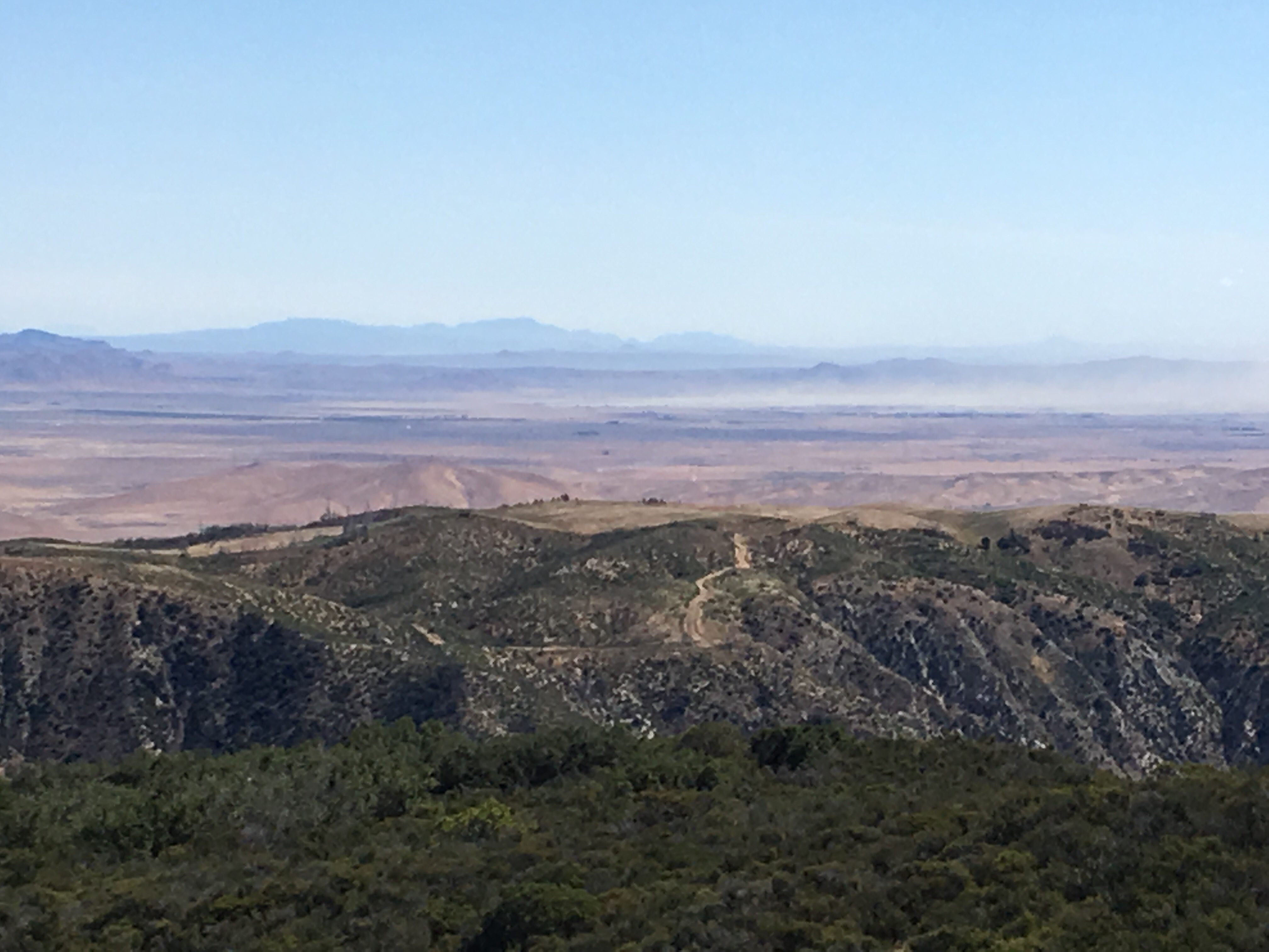
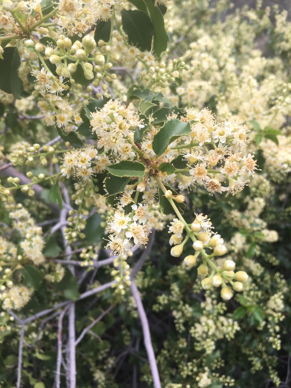
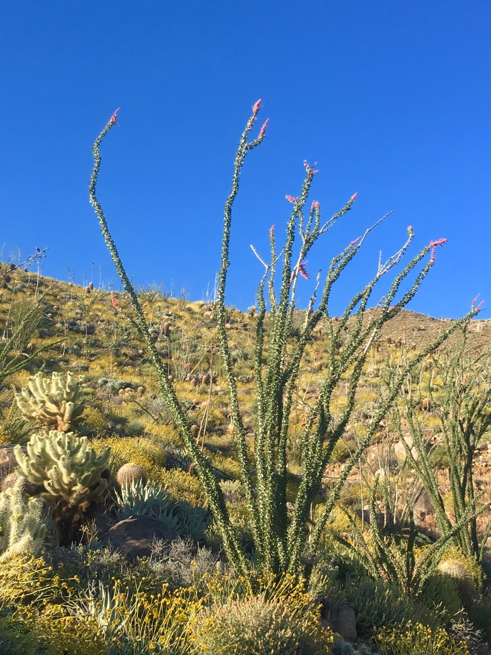
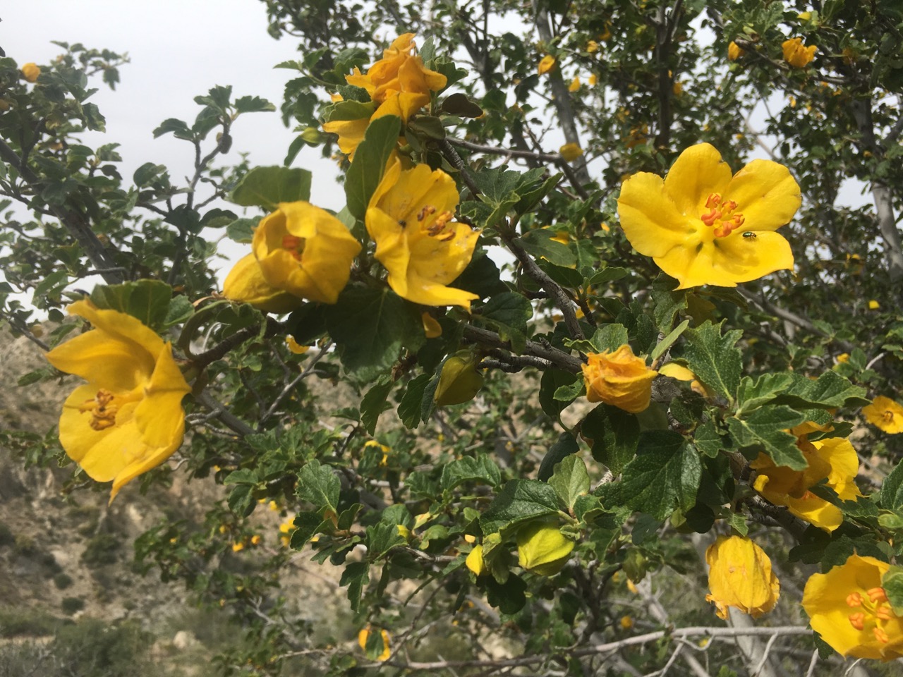
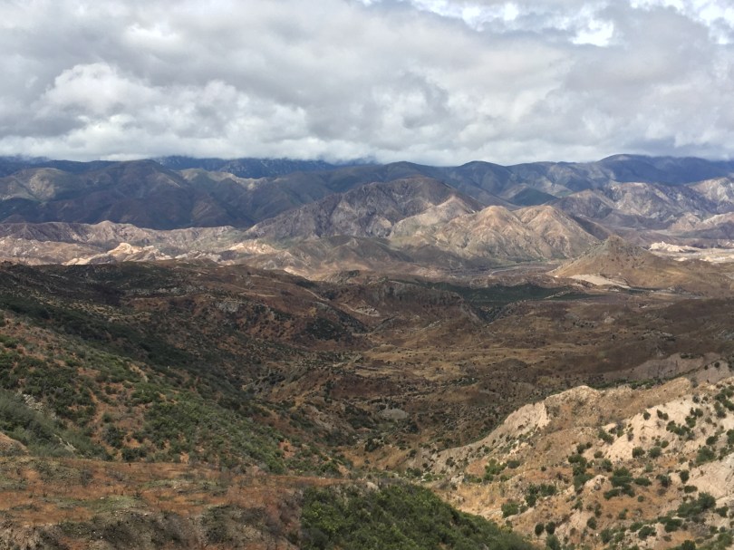
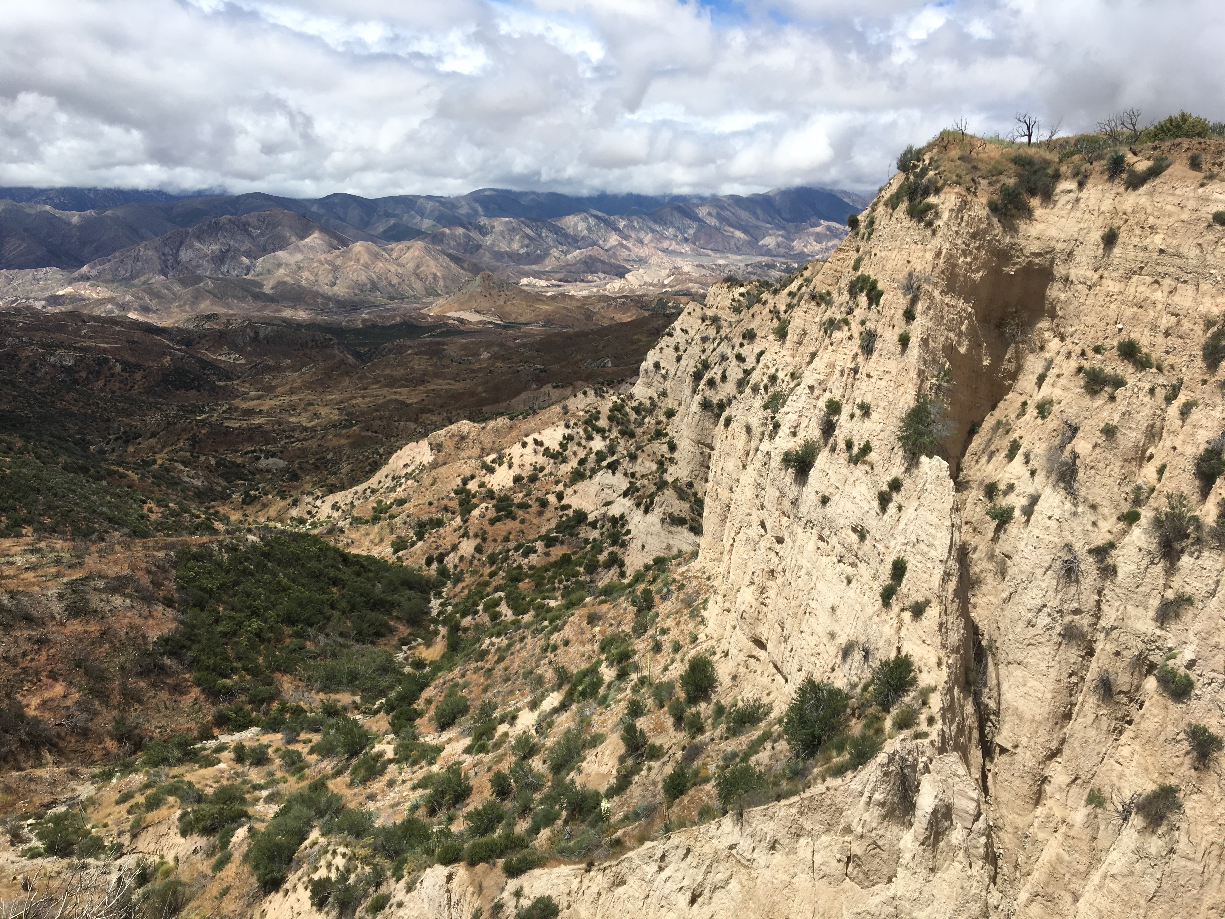
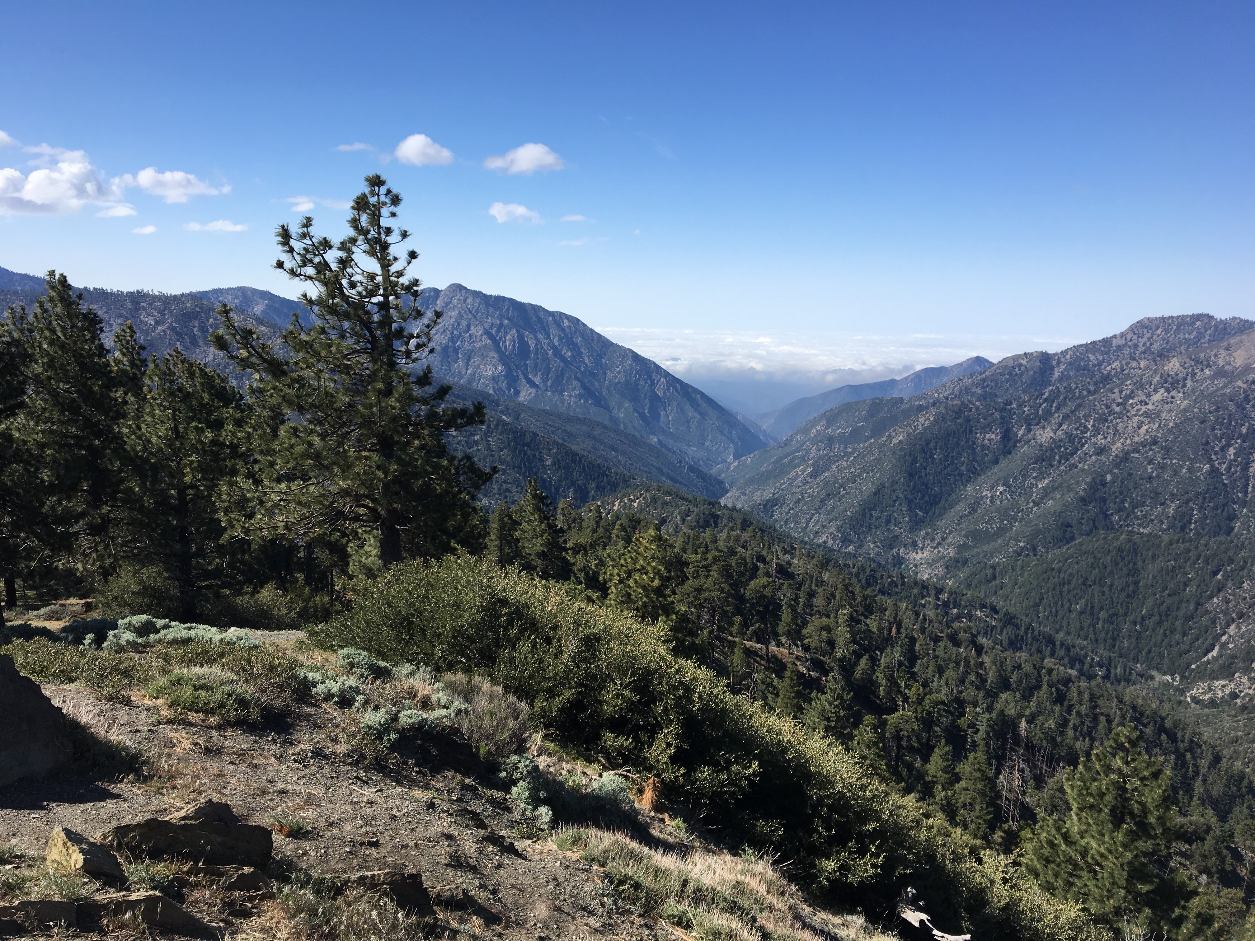
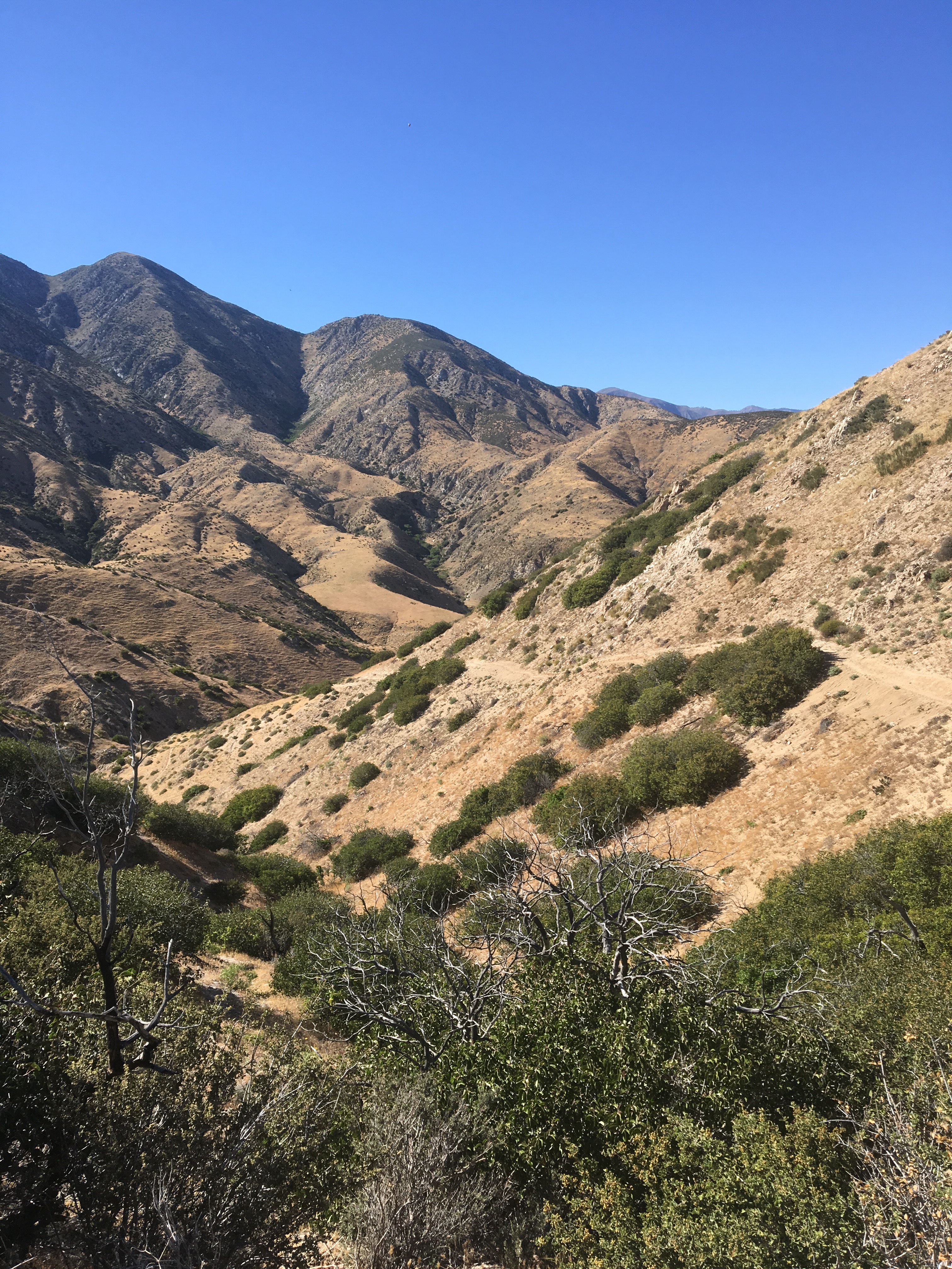
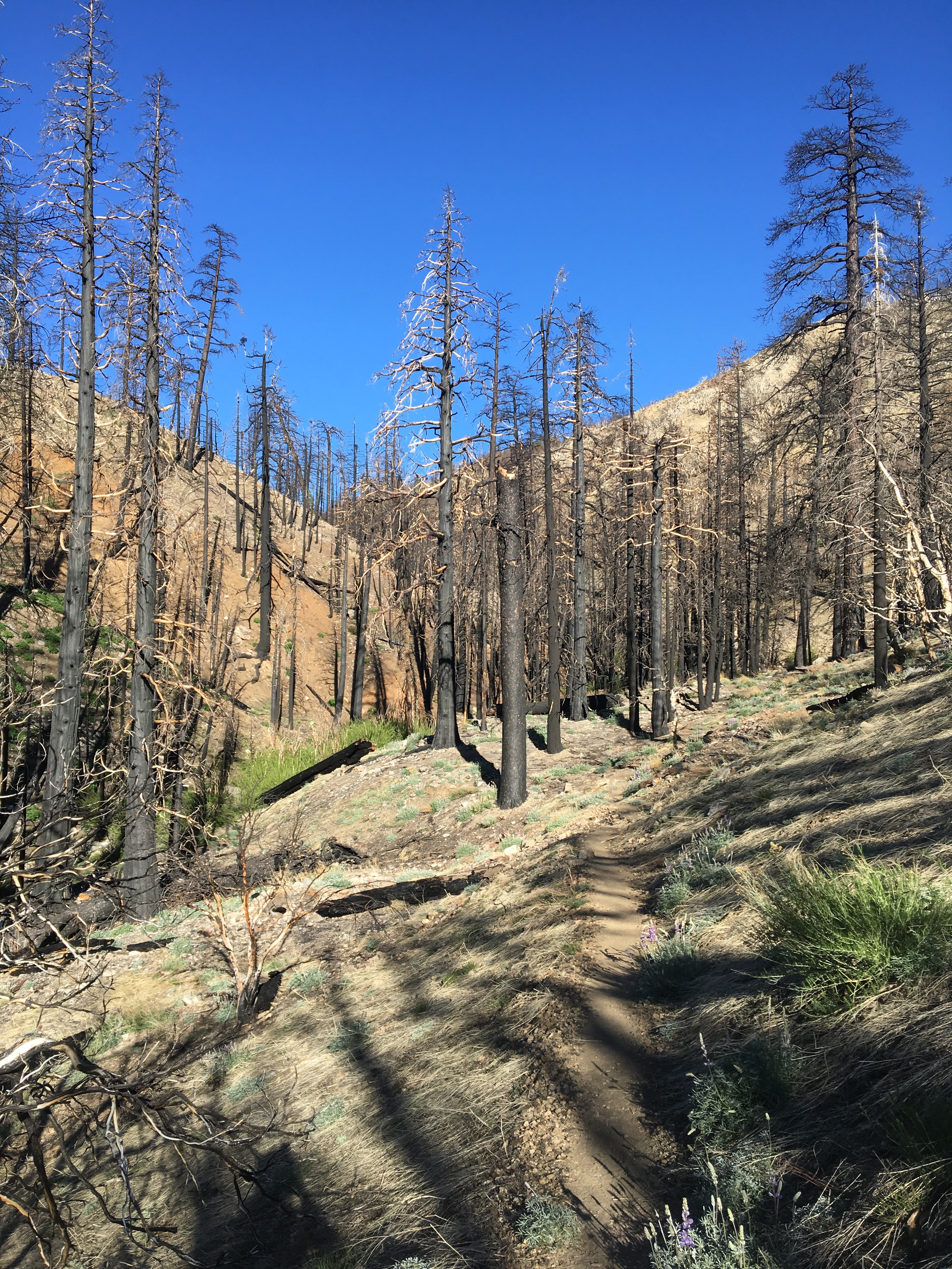
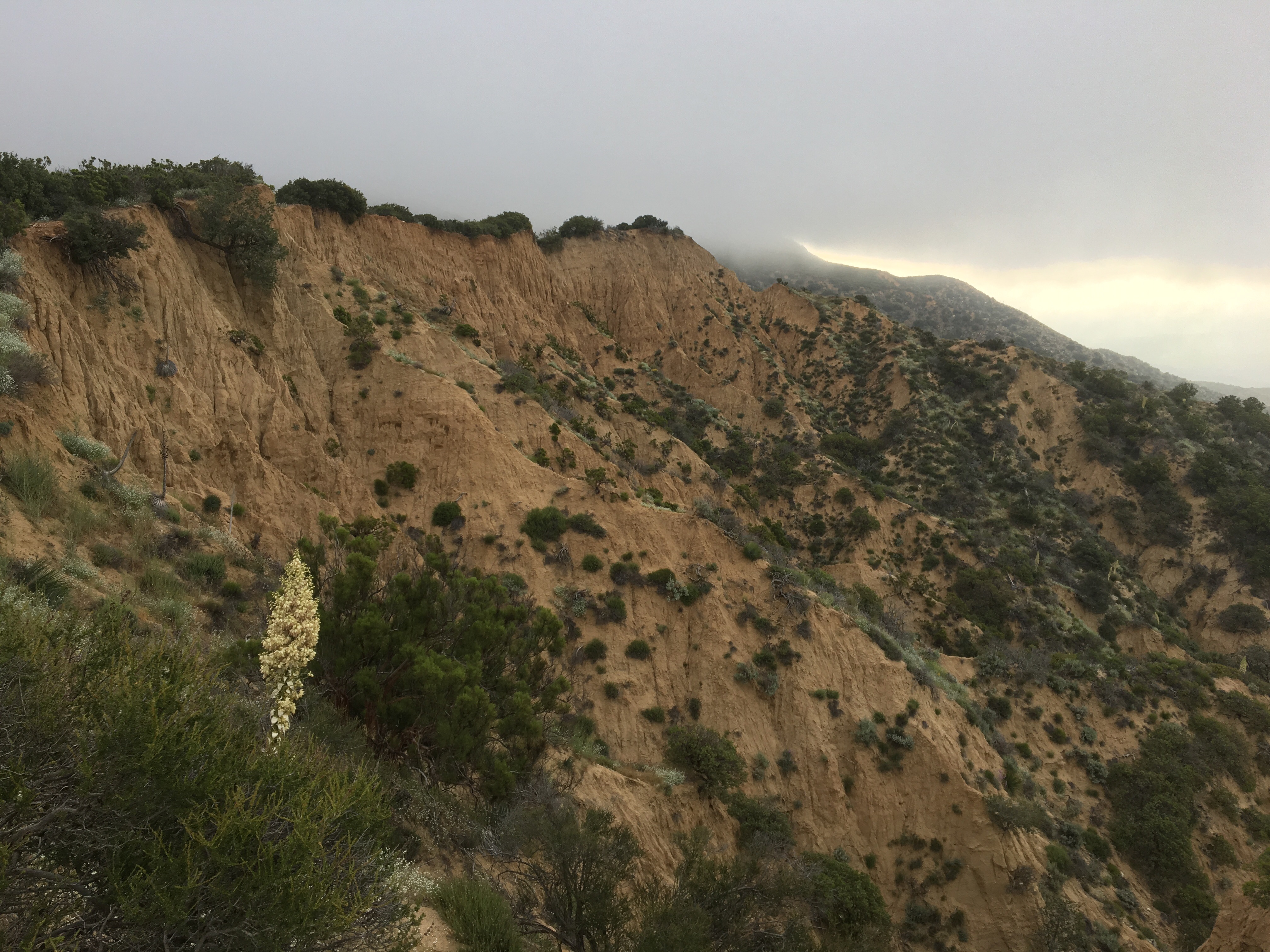
Day 28 – Started out the day with ~10 miles of shaded trail with many vistas… and road crossings.  Thankfully, the Angeles Crest Highway is pretty low traffic.  The afternoon brought us through more burn area with tons of poodle dog bush – more in this segment than any we’ve hiked yet.  We eventually descended down to the Mill Creek Fire Station area and camped nearby, at mile 418.5.

Day 29 – Started out the day at around 6:15am with some awesome trail magic – hot coffee, McMuffins, and apple fritters right to the rest area we were camped by.  Nothing like some extra calories and caffeine to start the day!  Good weather all morning and afternoon, walked through burn areas in various stages.  Another day filled with poodle dog bush and poison oak on the trail, but we rain into a trail crew working on removing it.  Arrived early afternoon at the North Fork Ranger Station where we camped, mile 436.1.

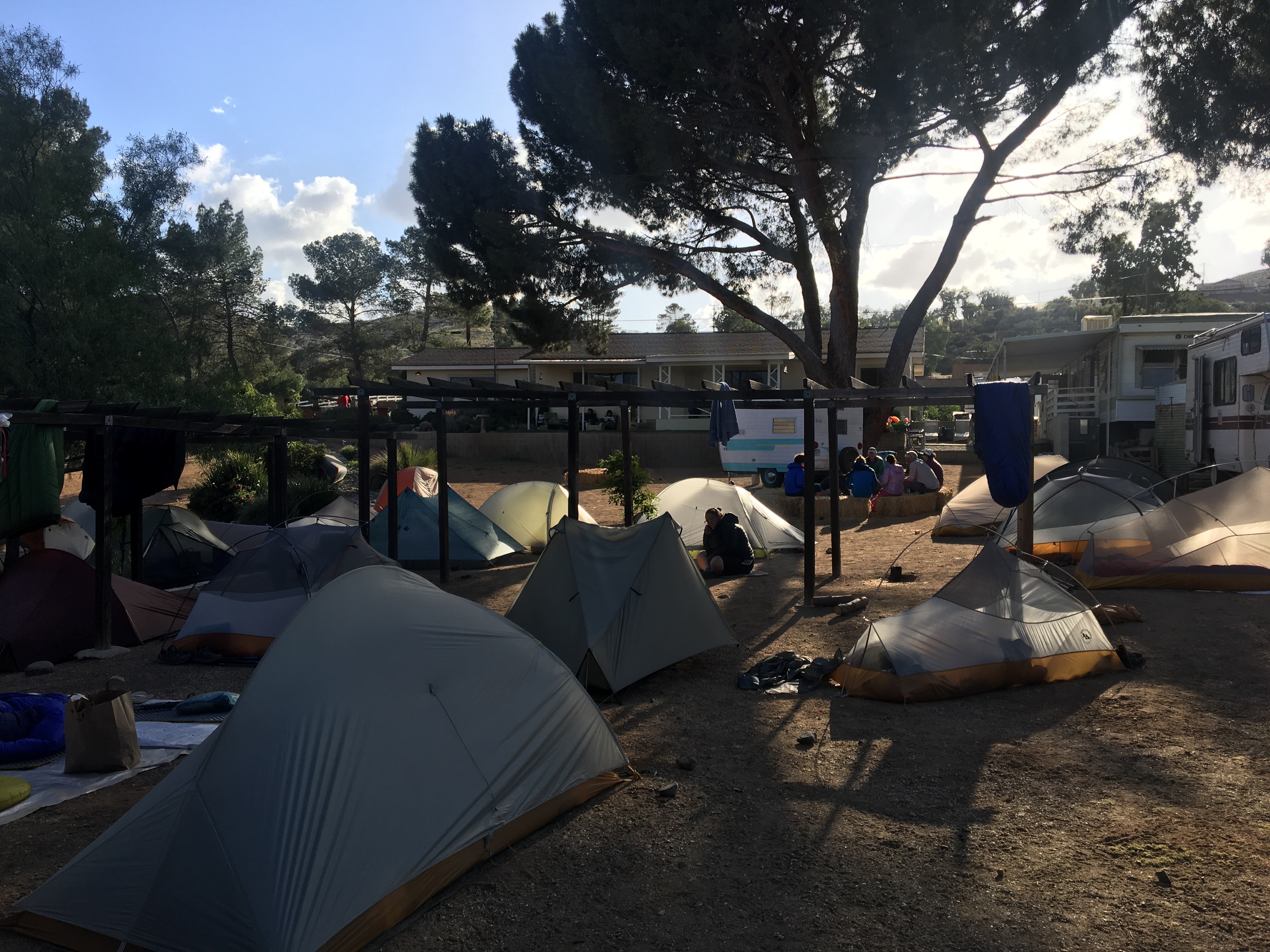
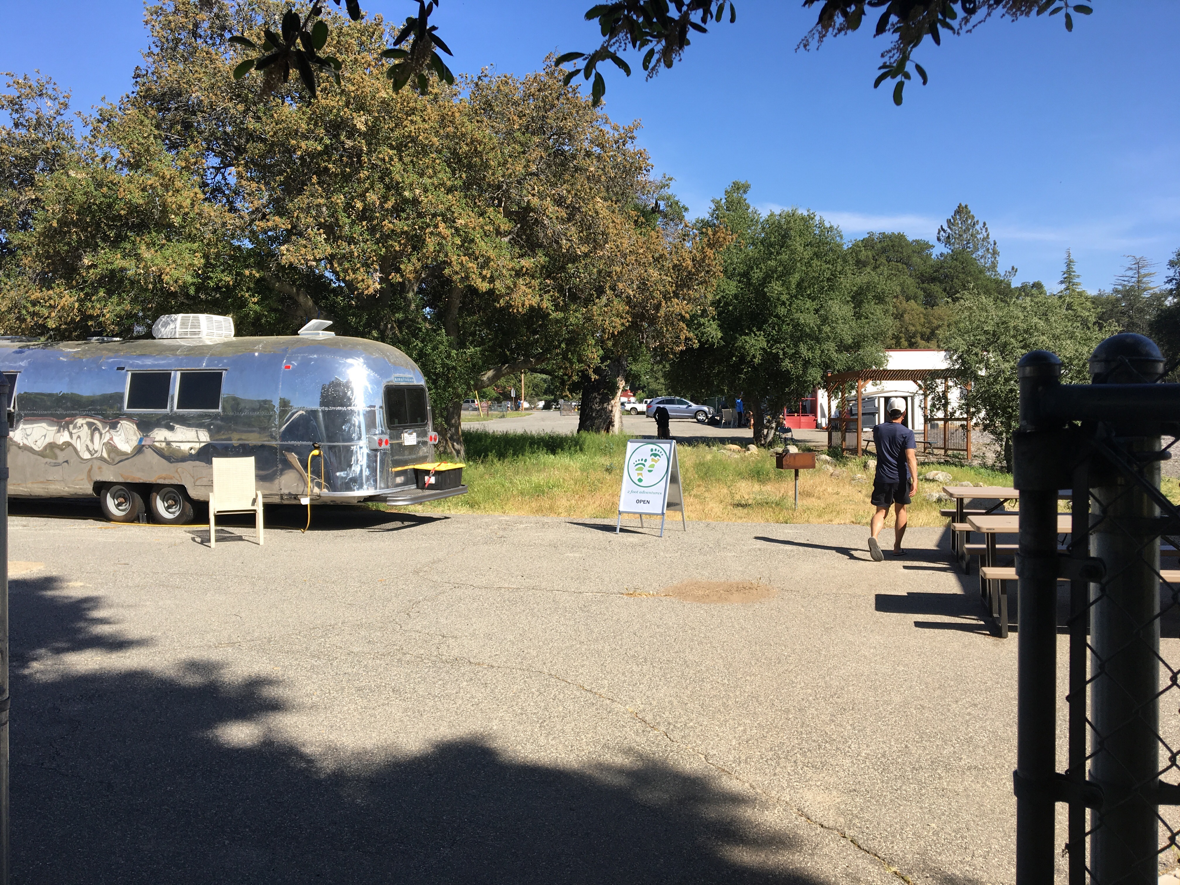
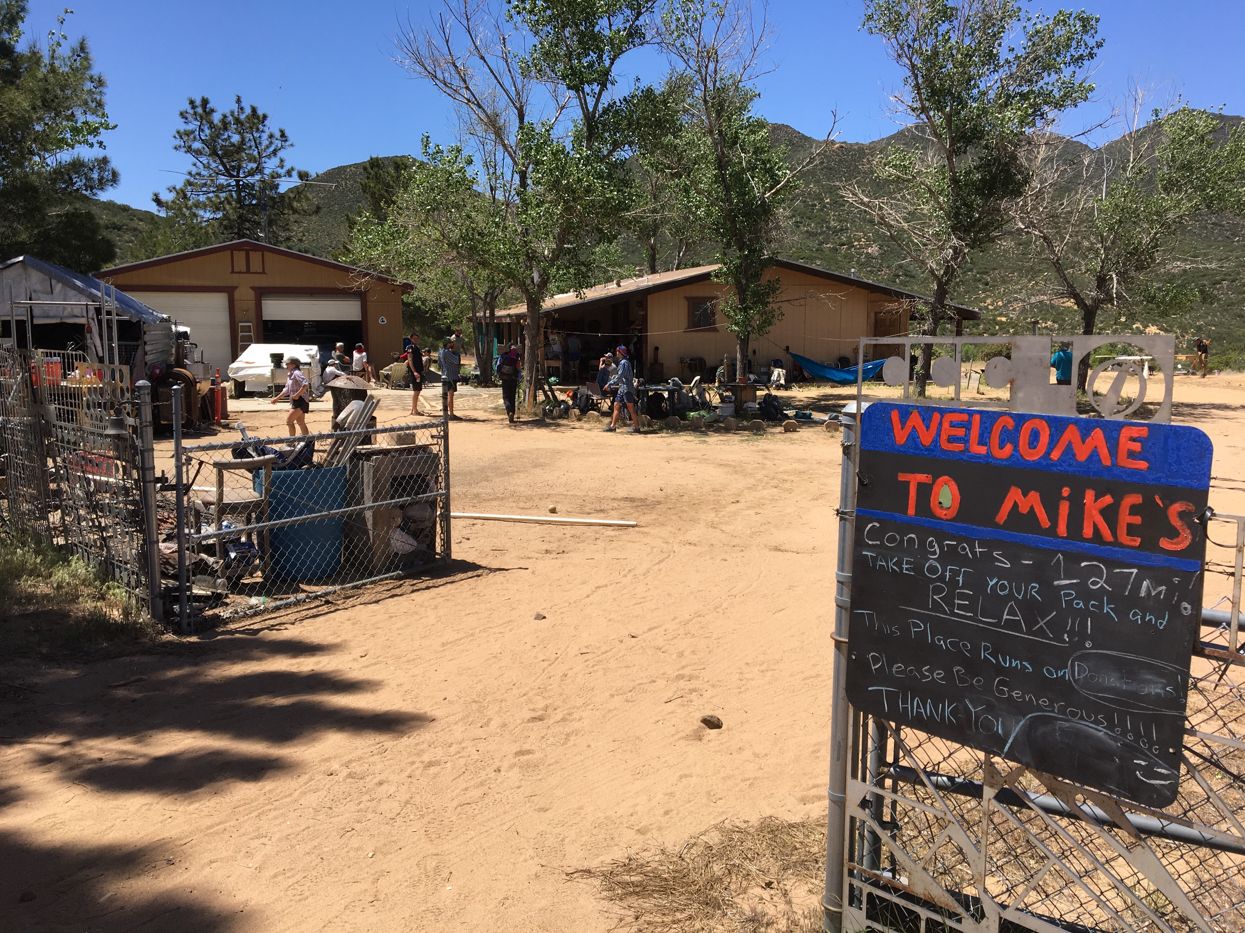
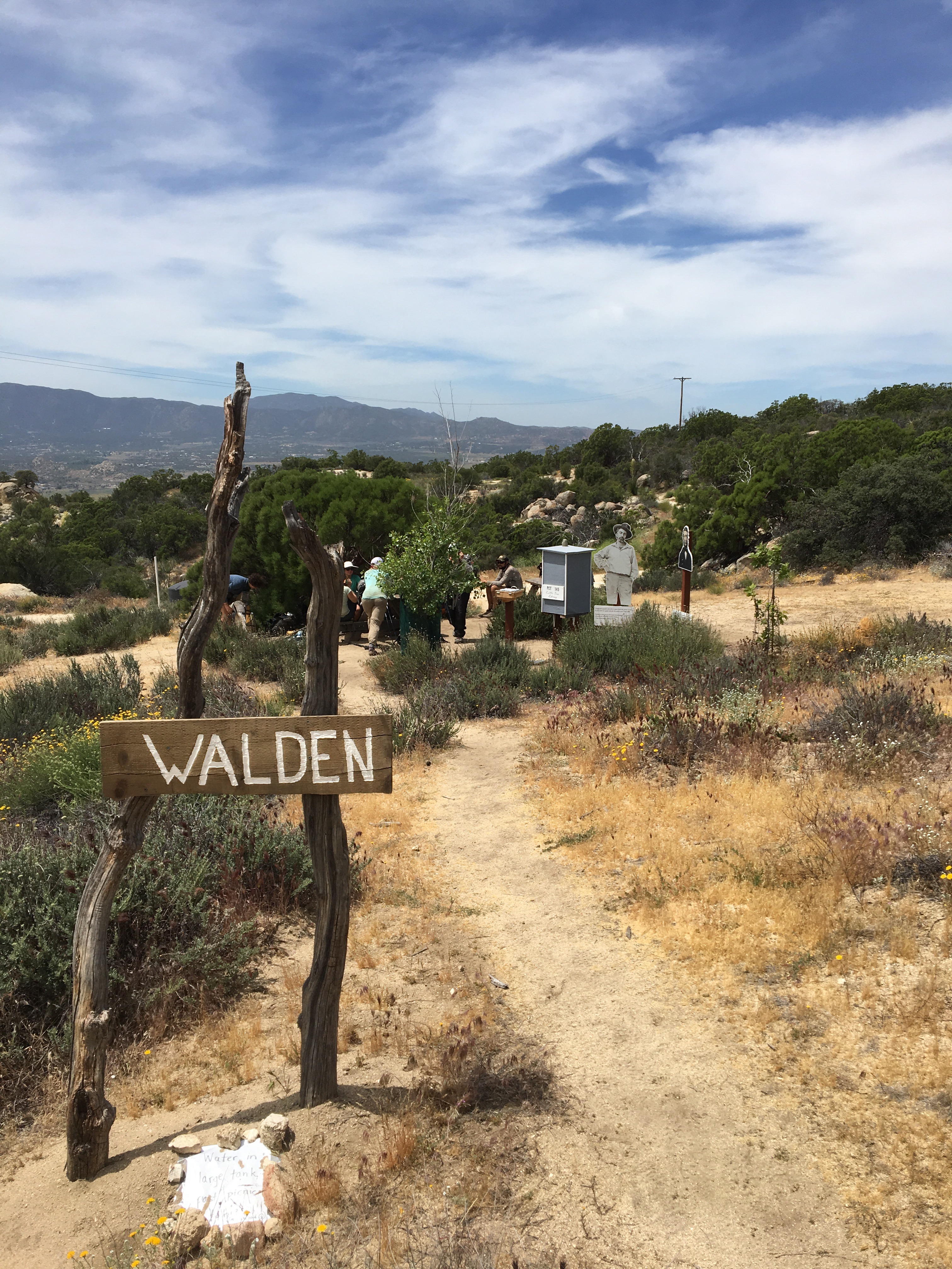
Day 30 – Stopped at the Acton KOA just off trail for some breakfast ice cream then hiked into Agua Dulce.  Cool and sunny, no more shade on the trail – back to the desert.  After some pizza and salad, we camped at Hiker Heaven, a famous landmark just on the edge of town.  Nice to have a shower and wash the socks!  Amazing and generous hosts.  Mile 454.5.

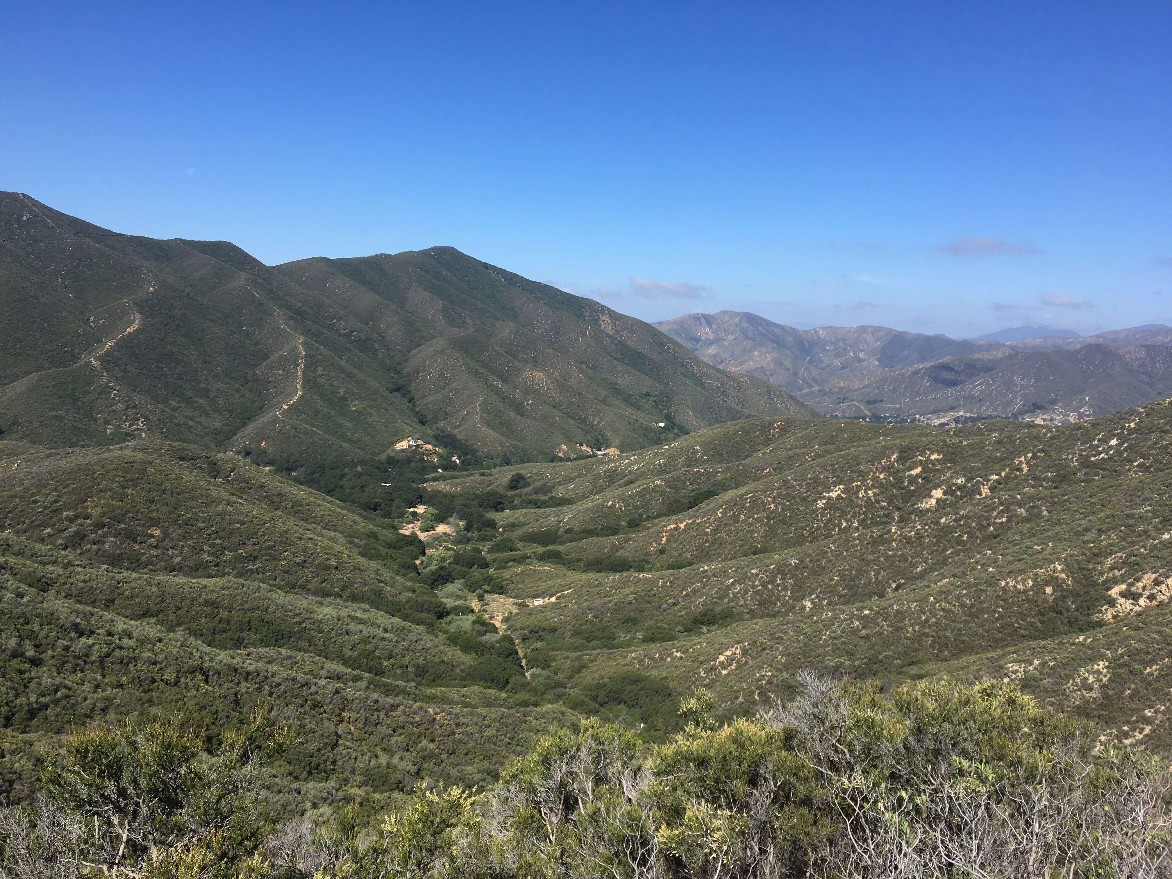
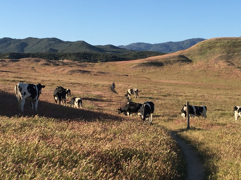
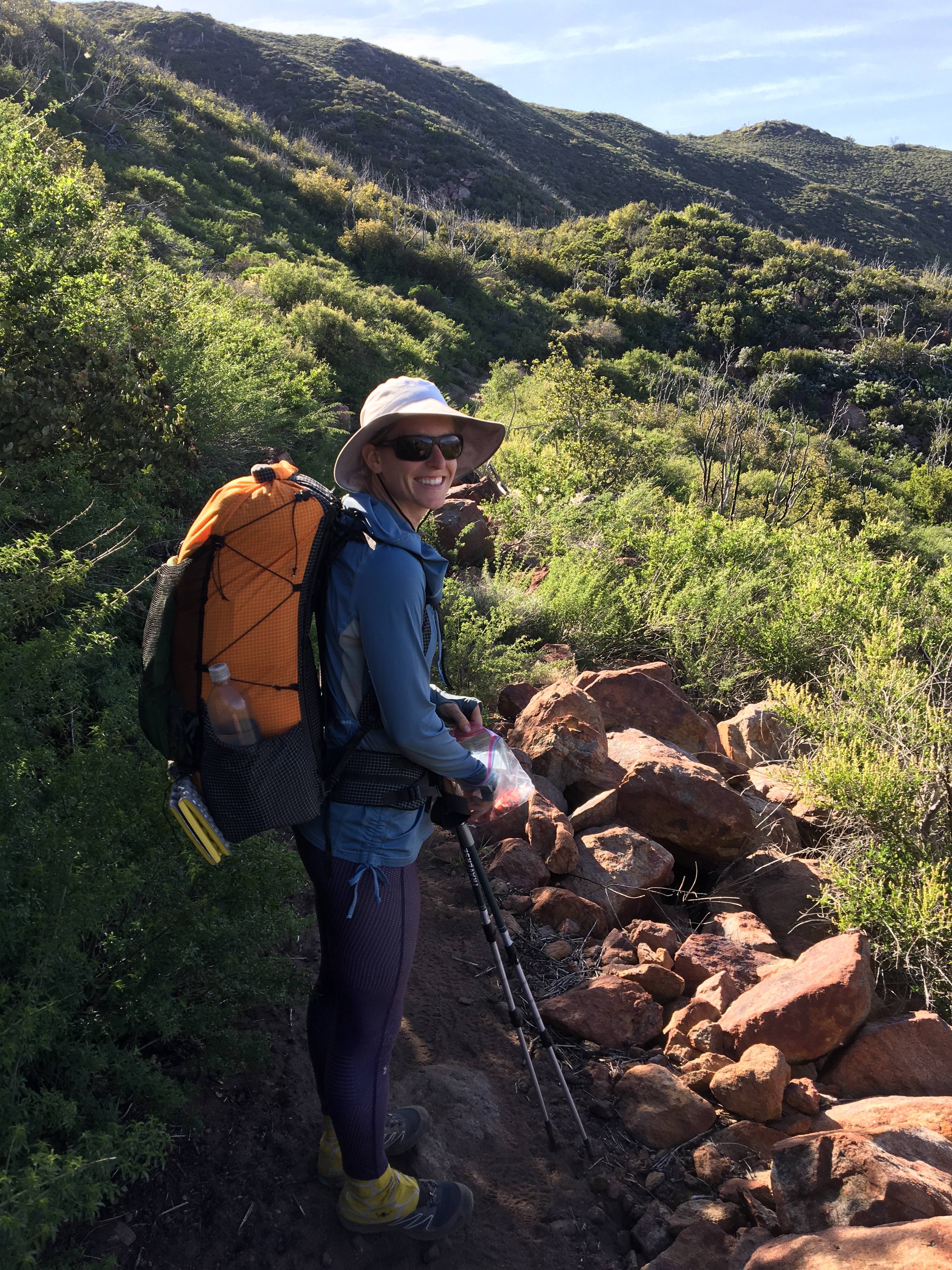
Day 31 – After a lazy morning in Hiker Heaven, we walked back into Agua Dulce and grabbed some delicious food at “Homemade.”  After a cool, cloudy, and rainy ~12 mile walk back into the hills, we camped at mile 465.9.

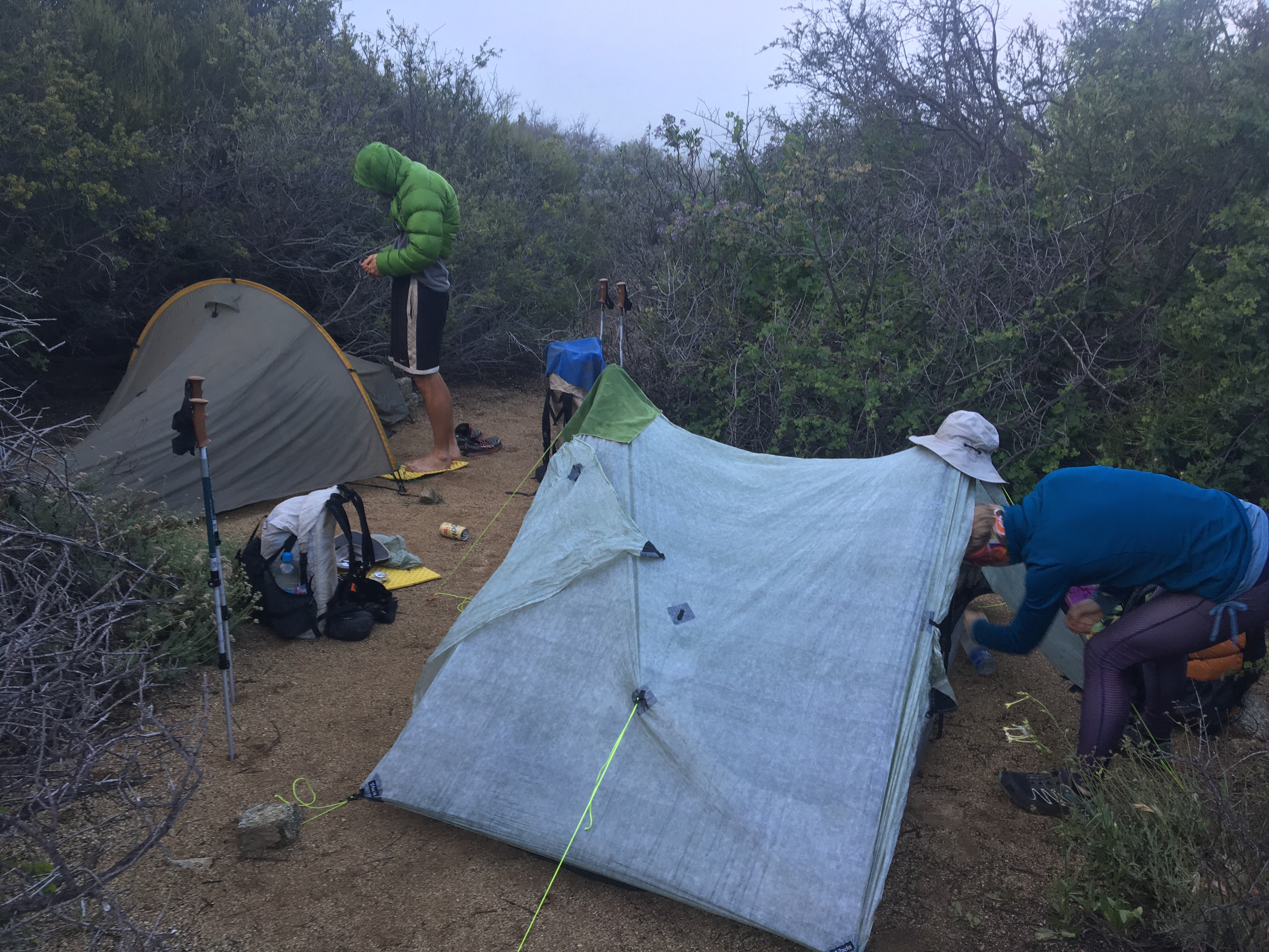
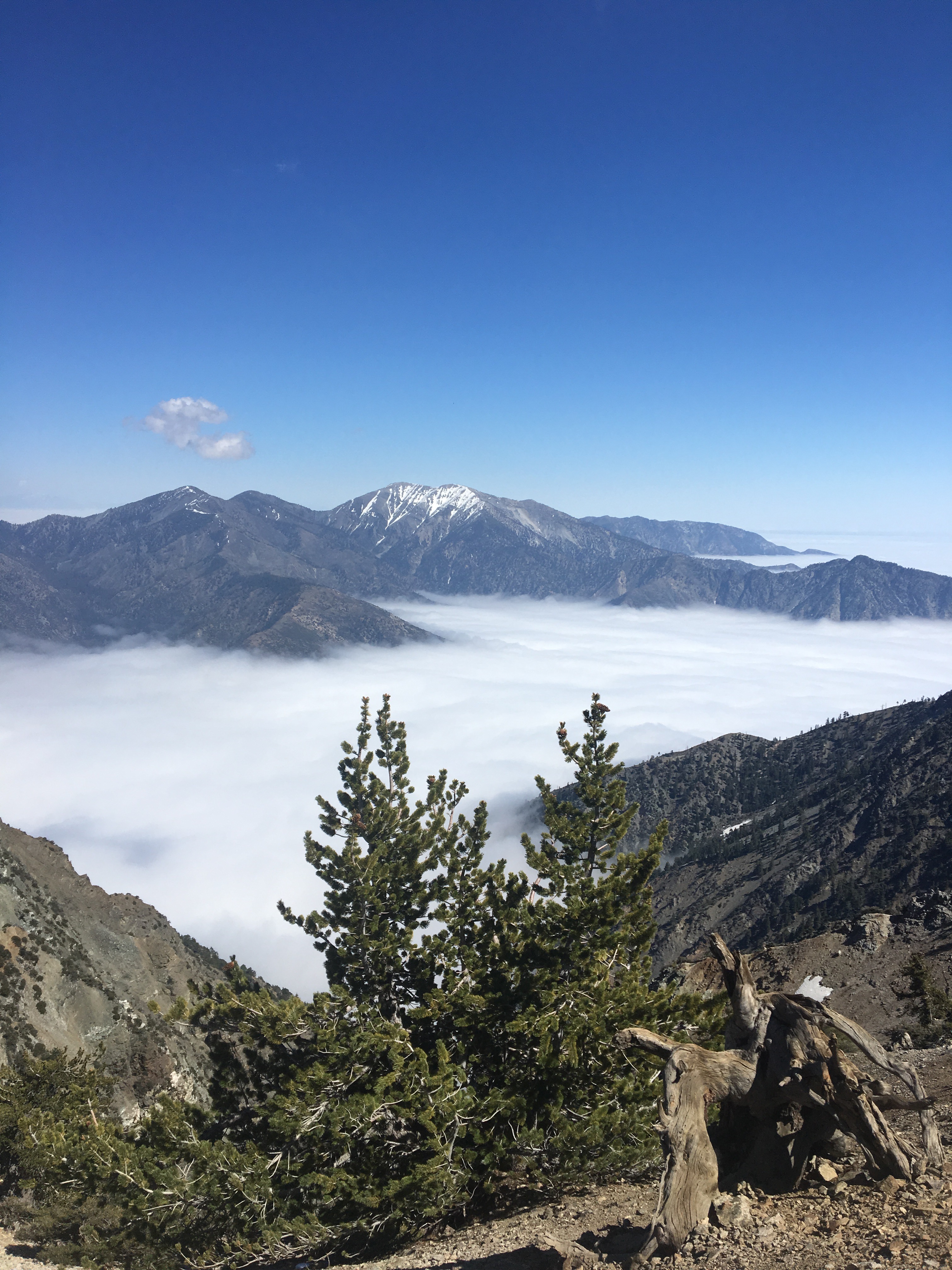
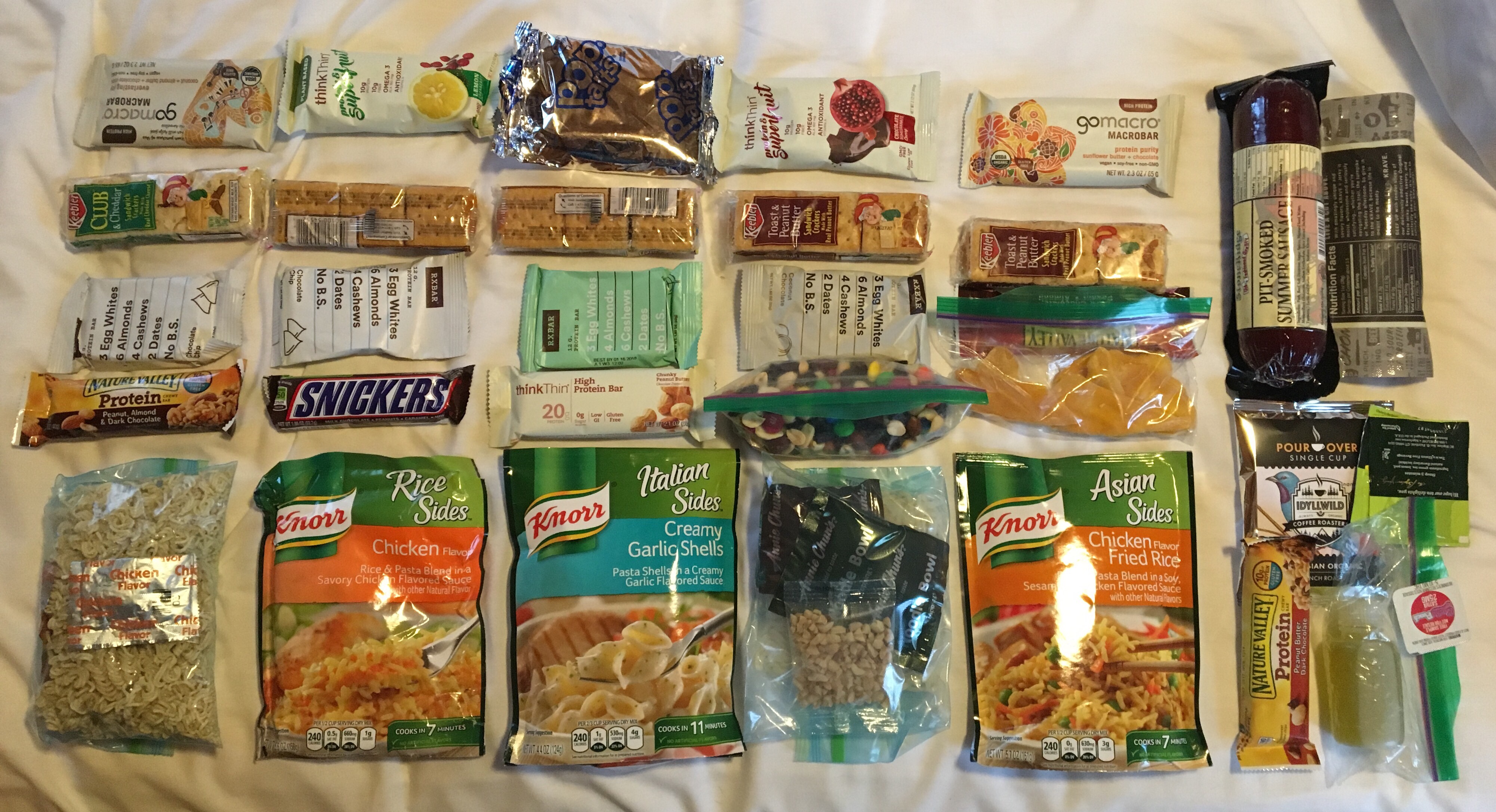
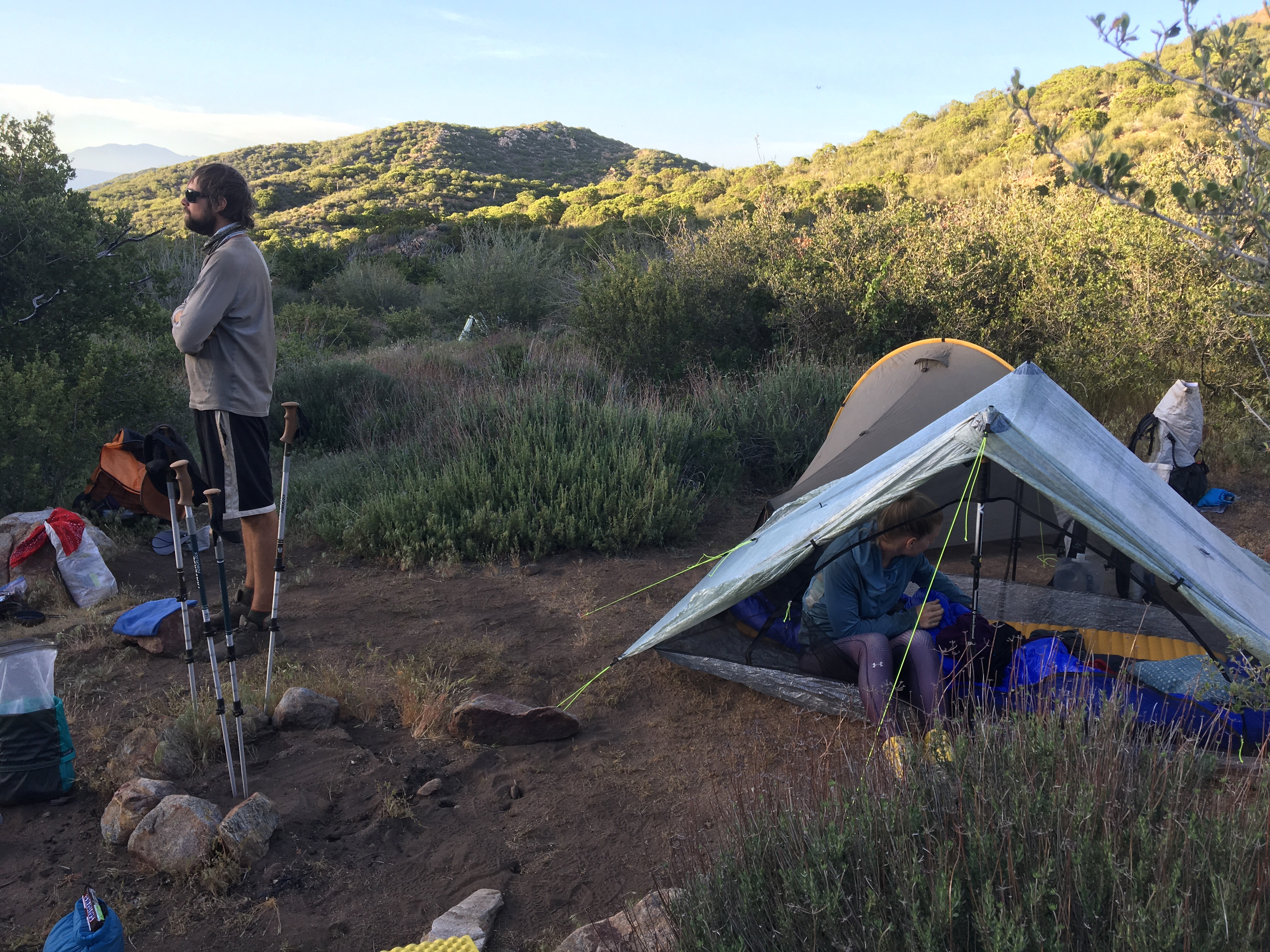
Day 32 – Woke up in the clouds, and packed up wet.  Walked a good 12 miles to Green Valley and got a ride into town.  Unbeknownst to us, there was a cafe in town and we promptly got all the hot food we could eat.  After stocking up on a few more meals/snacks at the store nearby, we dried out our gear in the sun and headed back to the trail.  After 8 or so more miles we camped in a valley at mile 485.7.

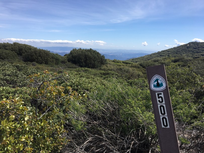
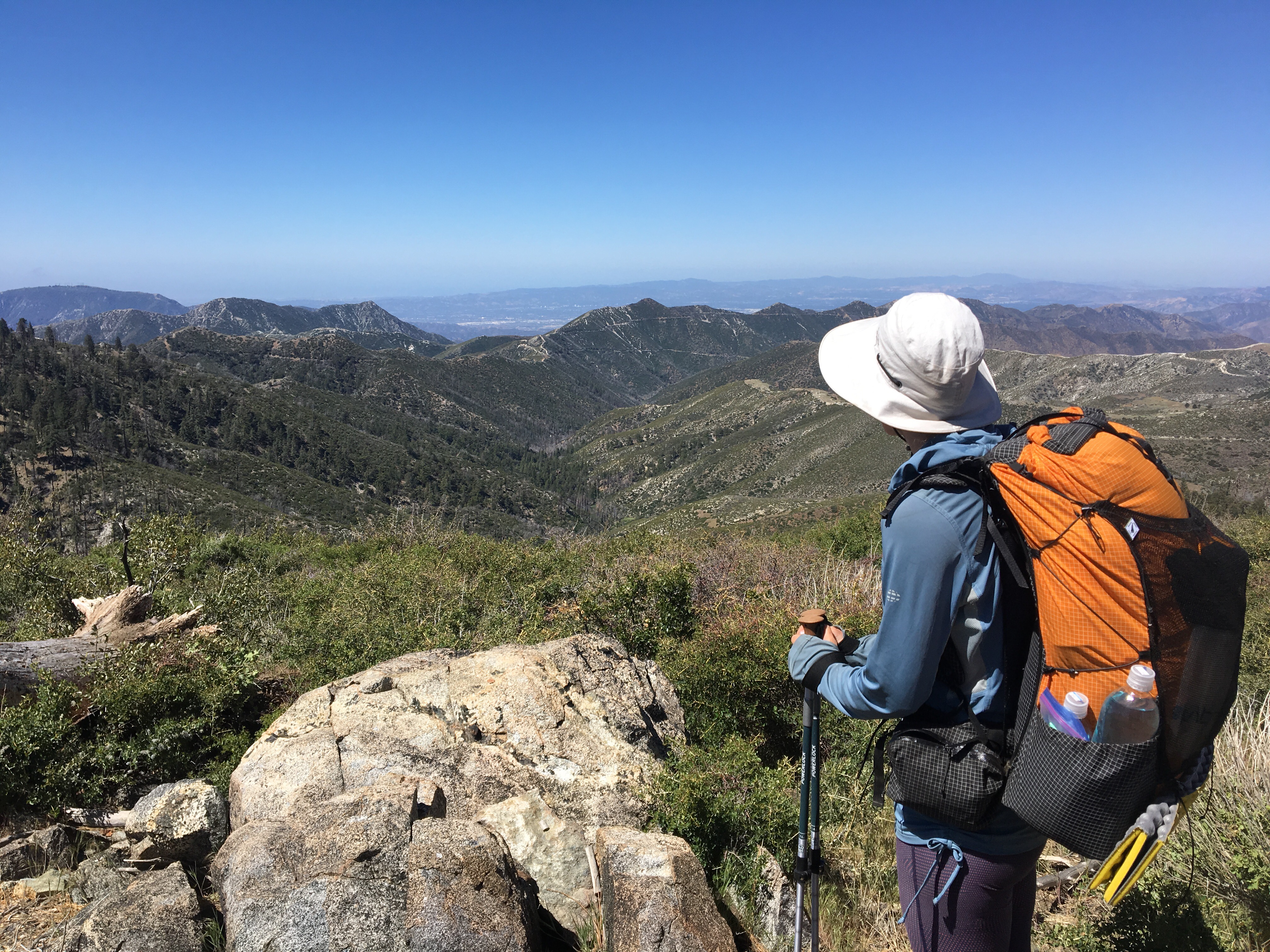
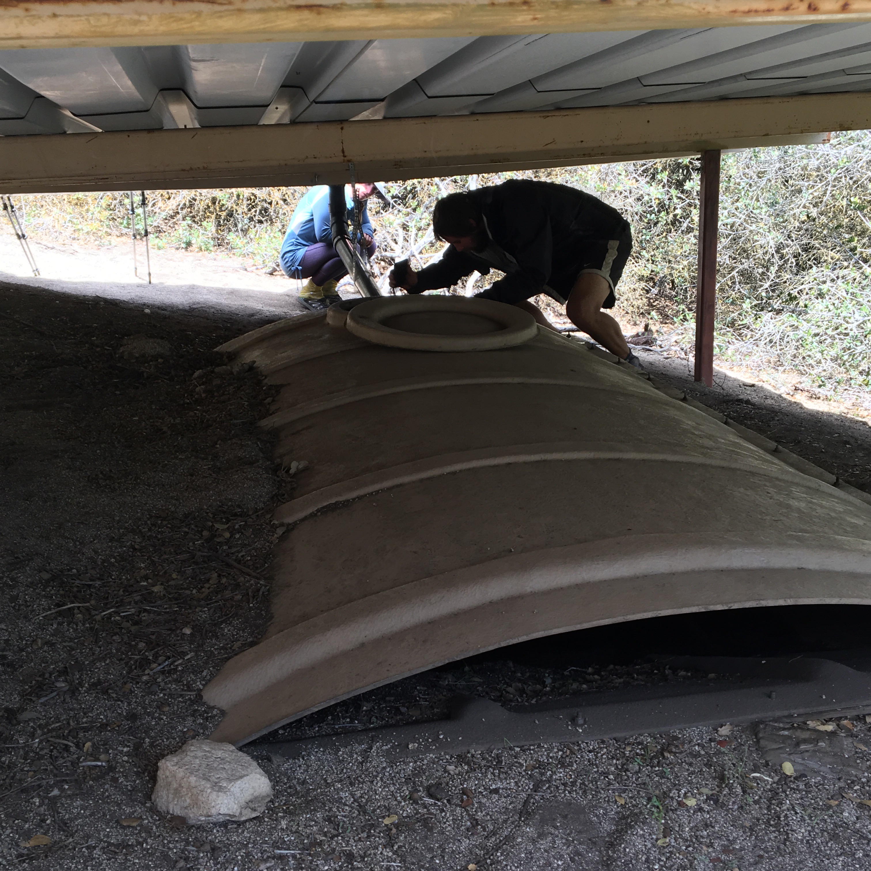
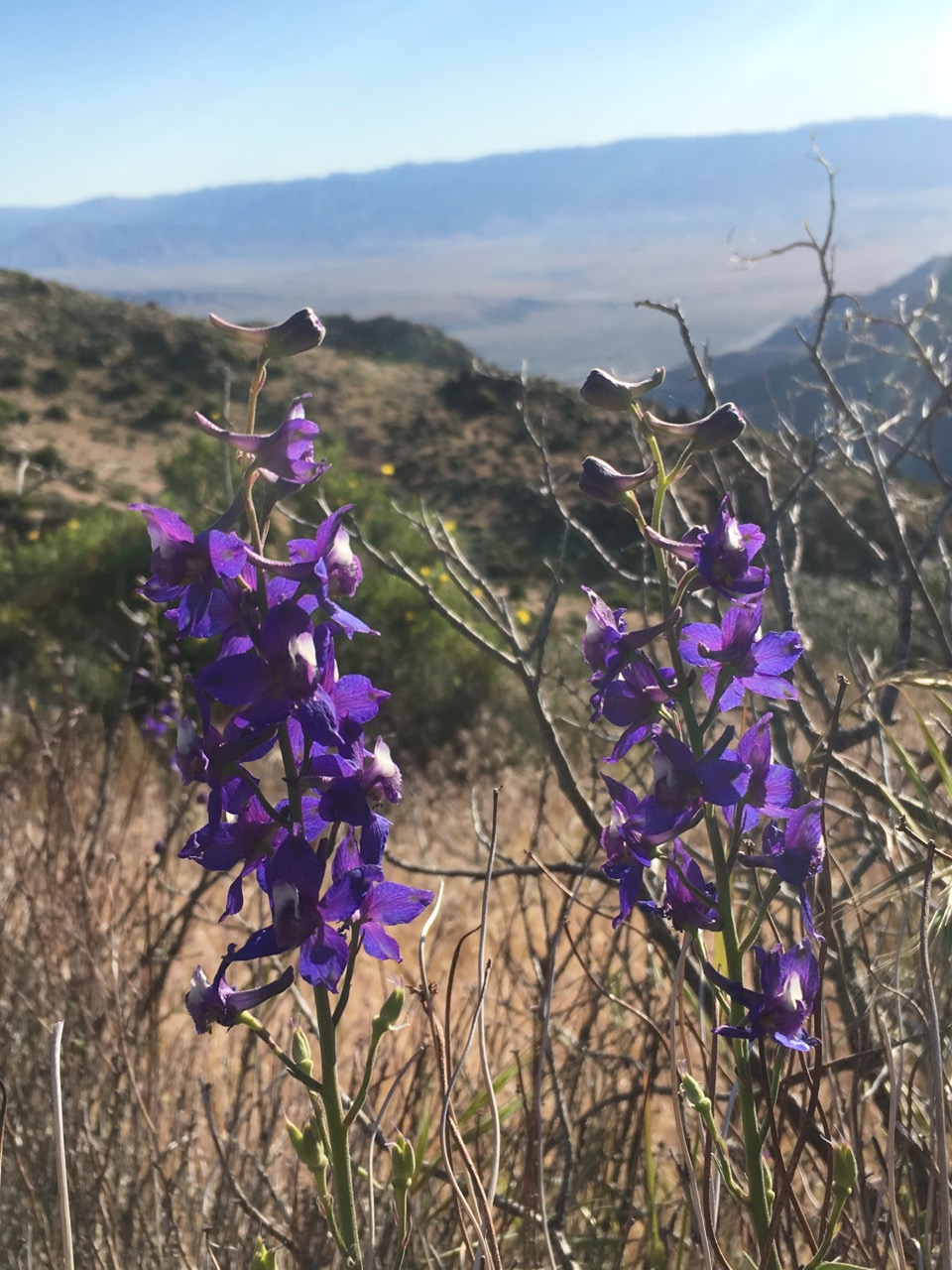
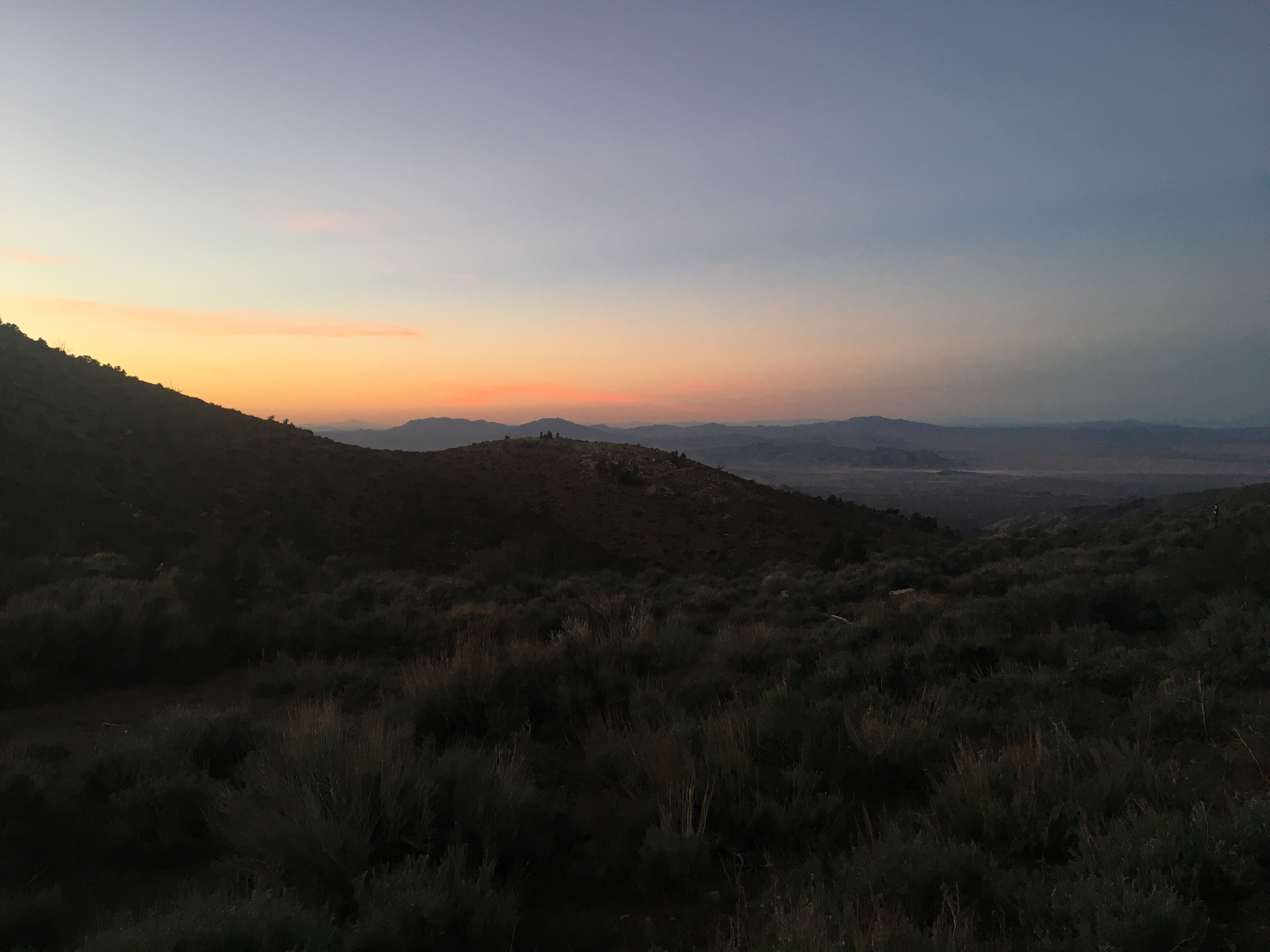
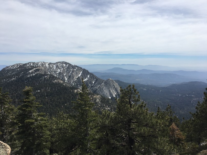
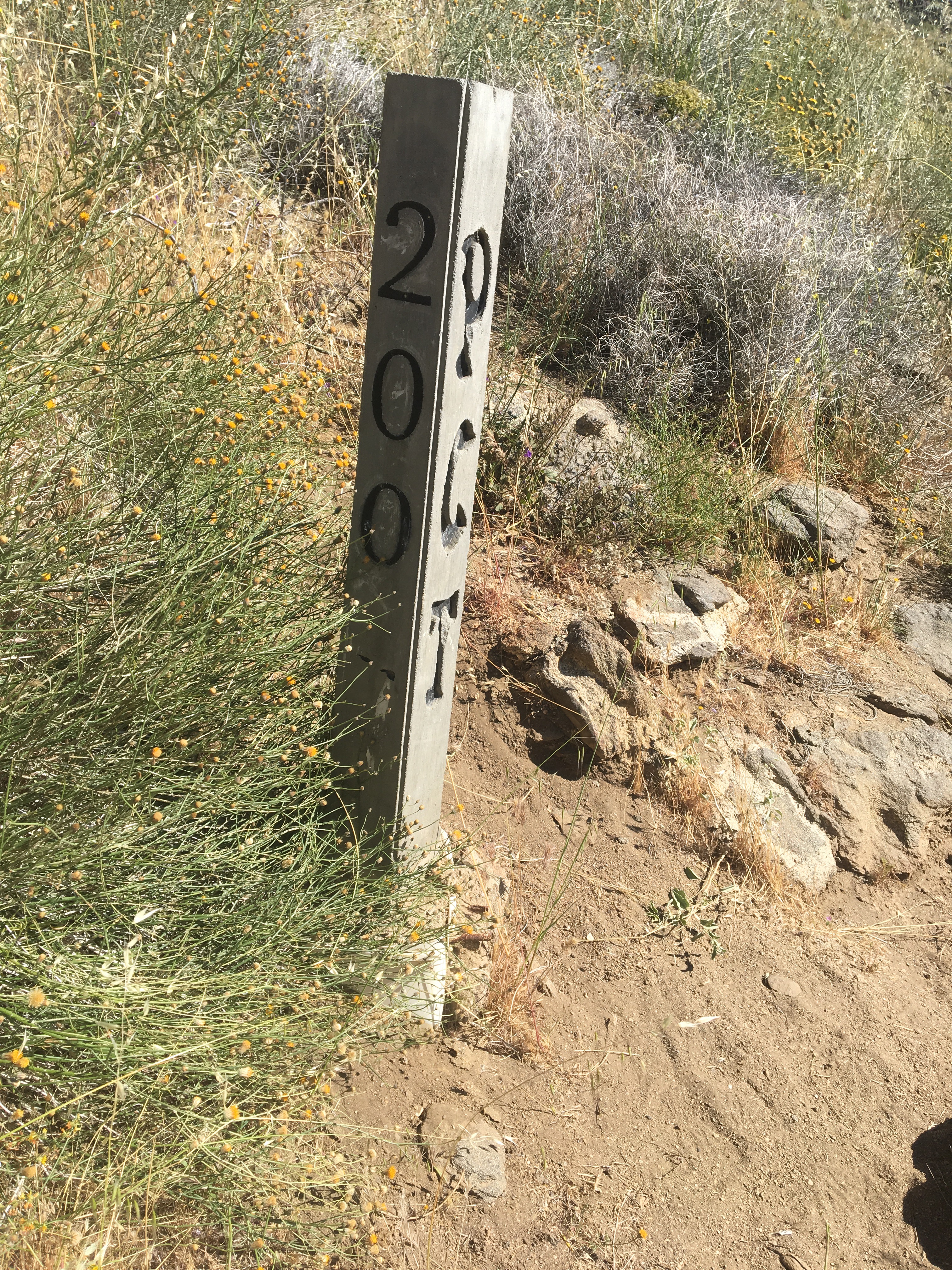
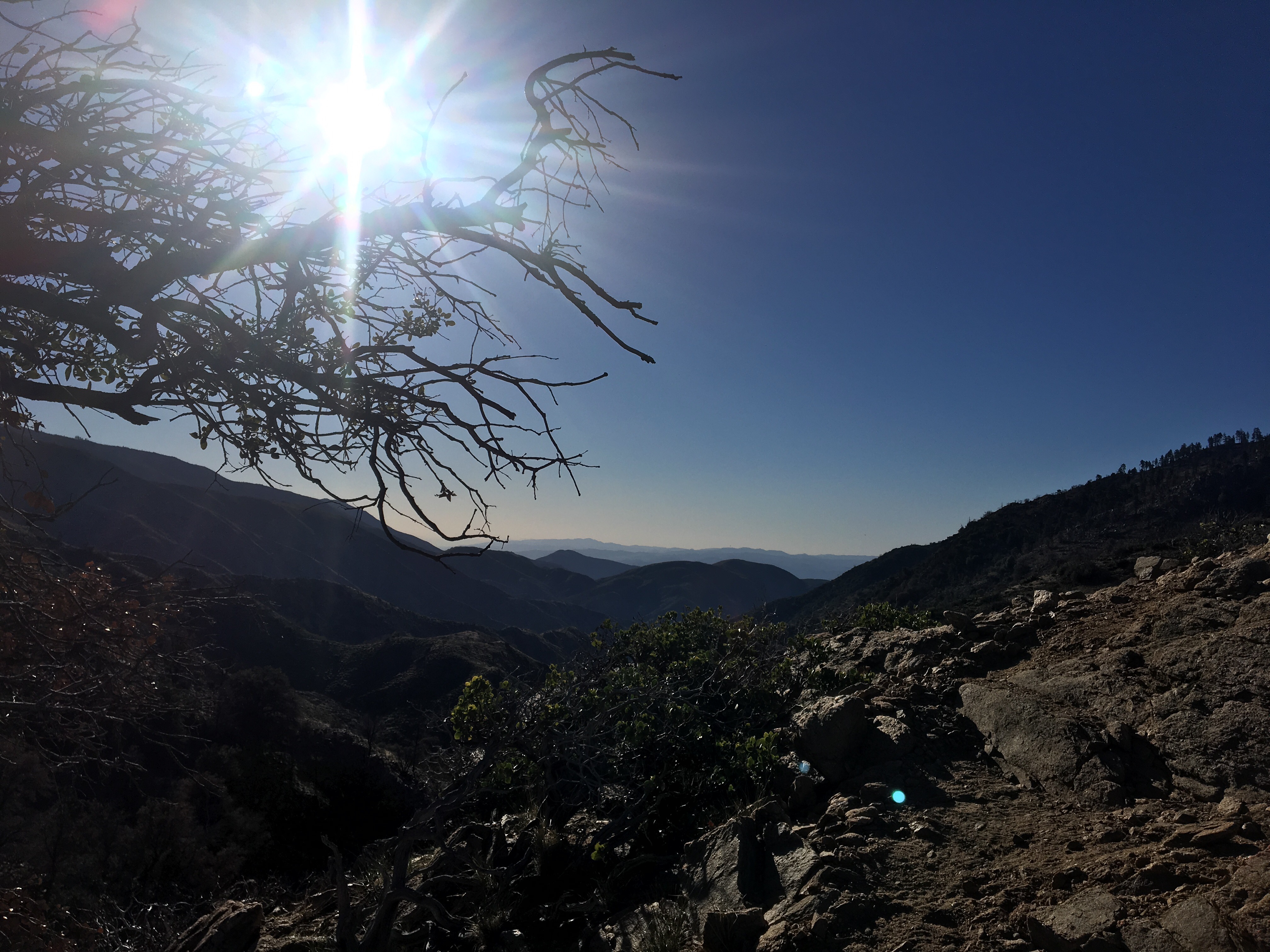
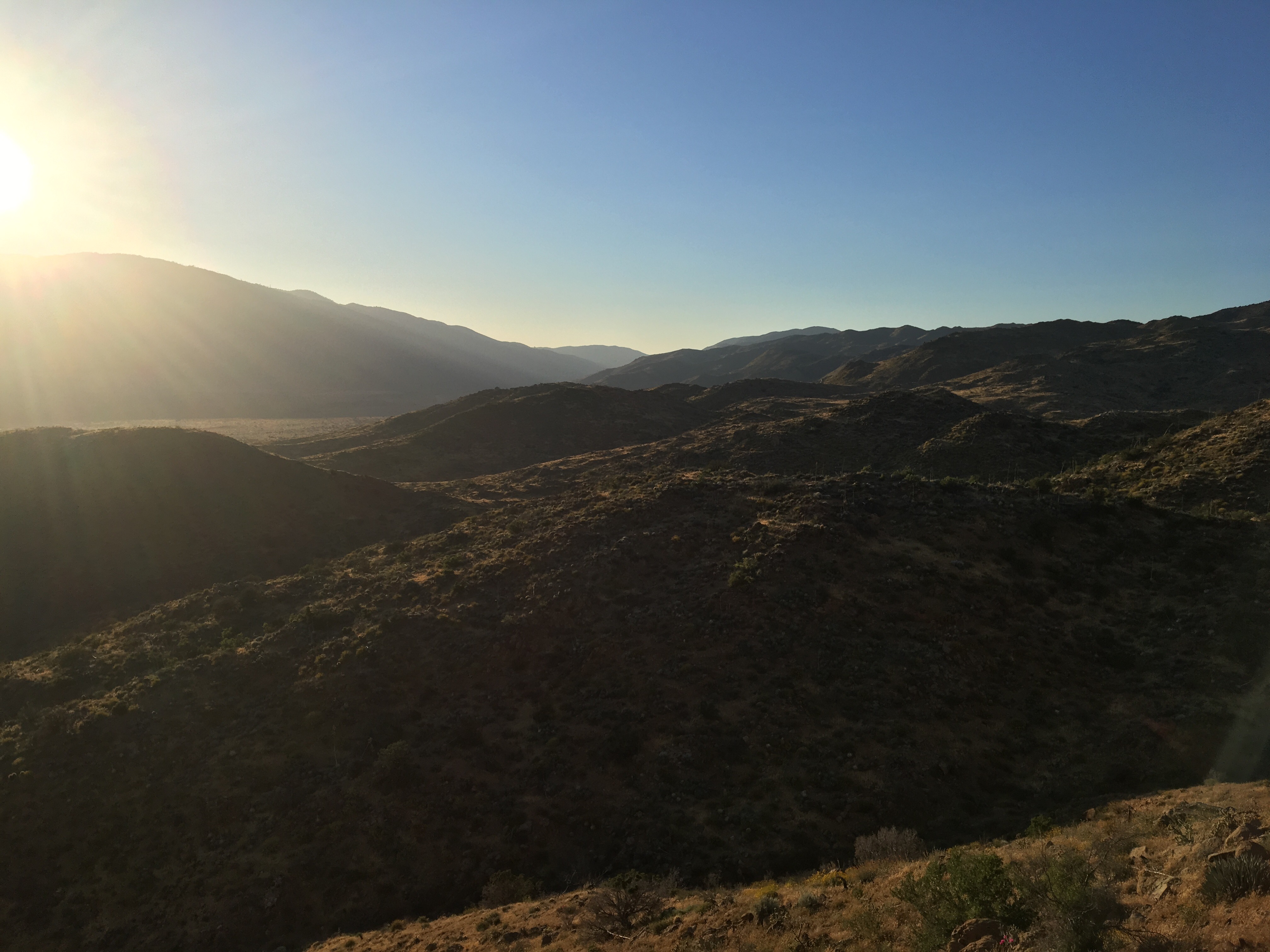
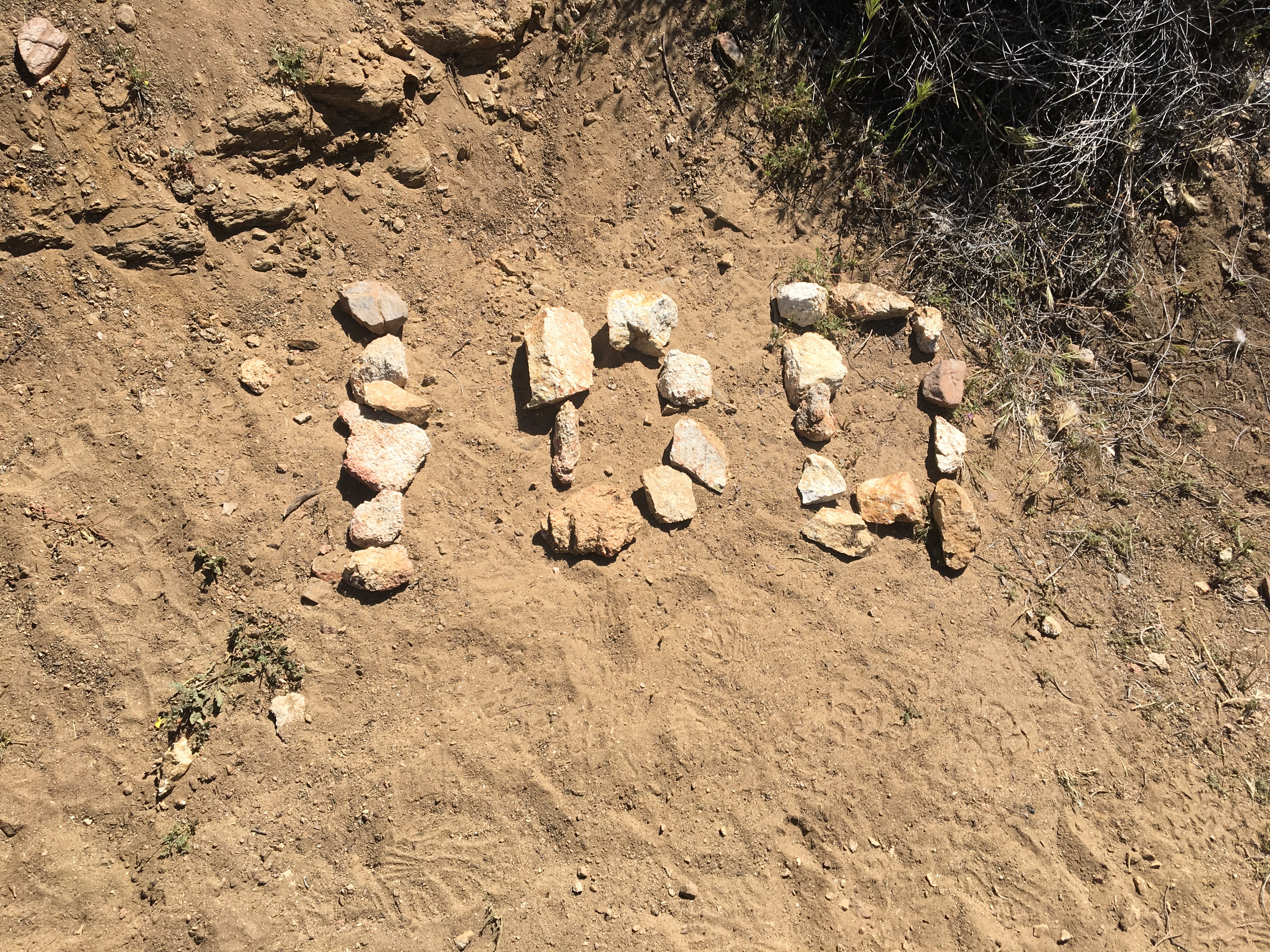
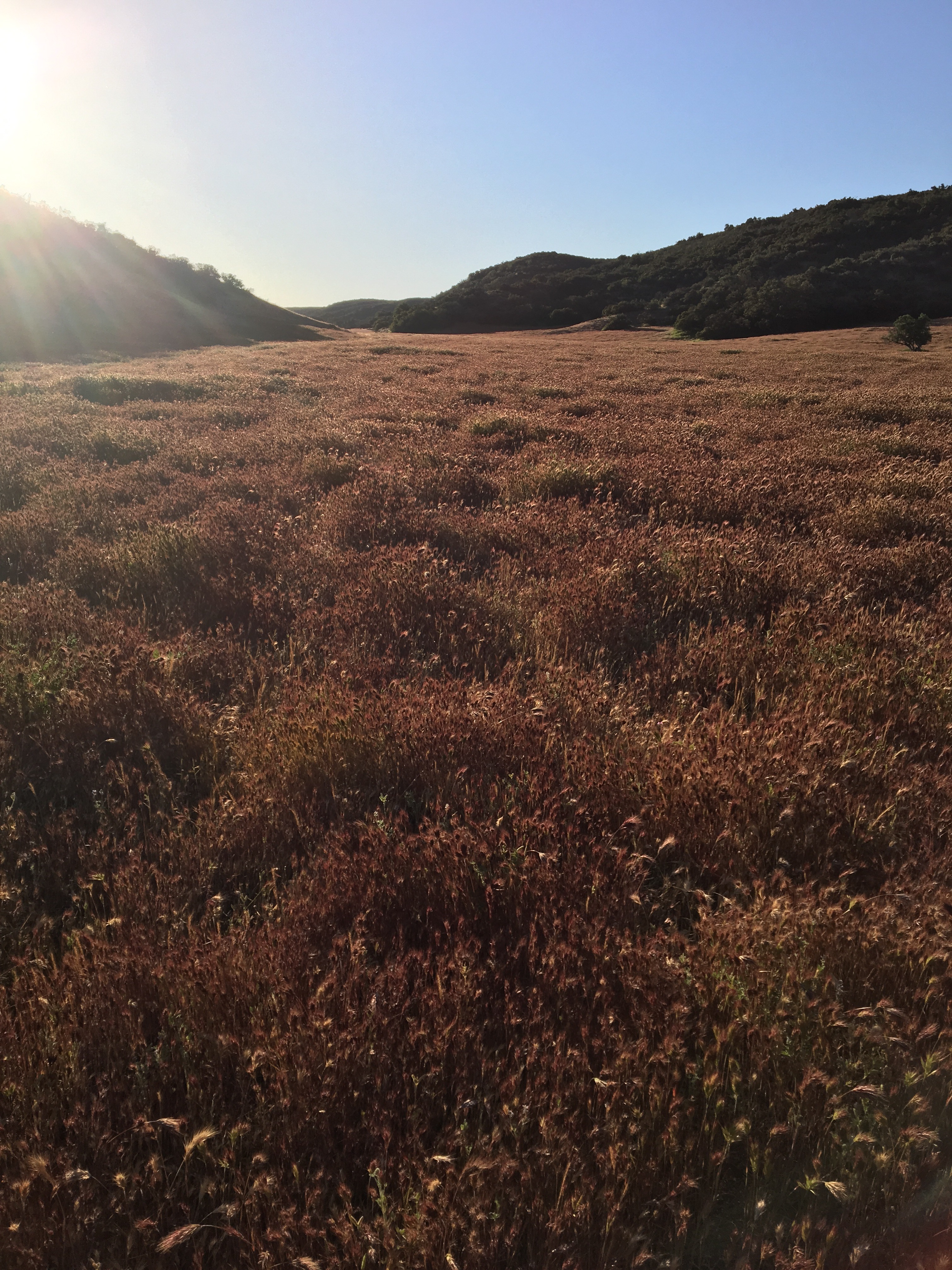
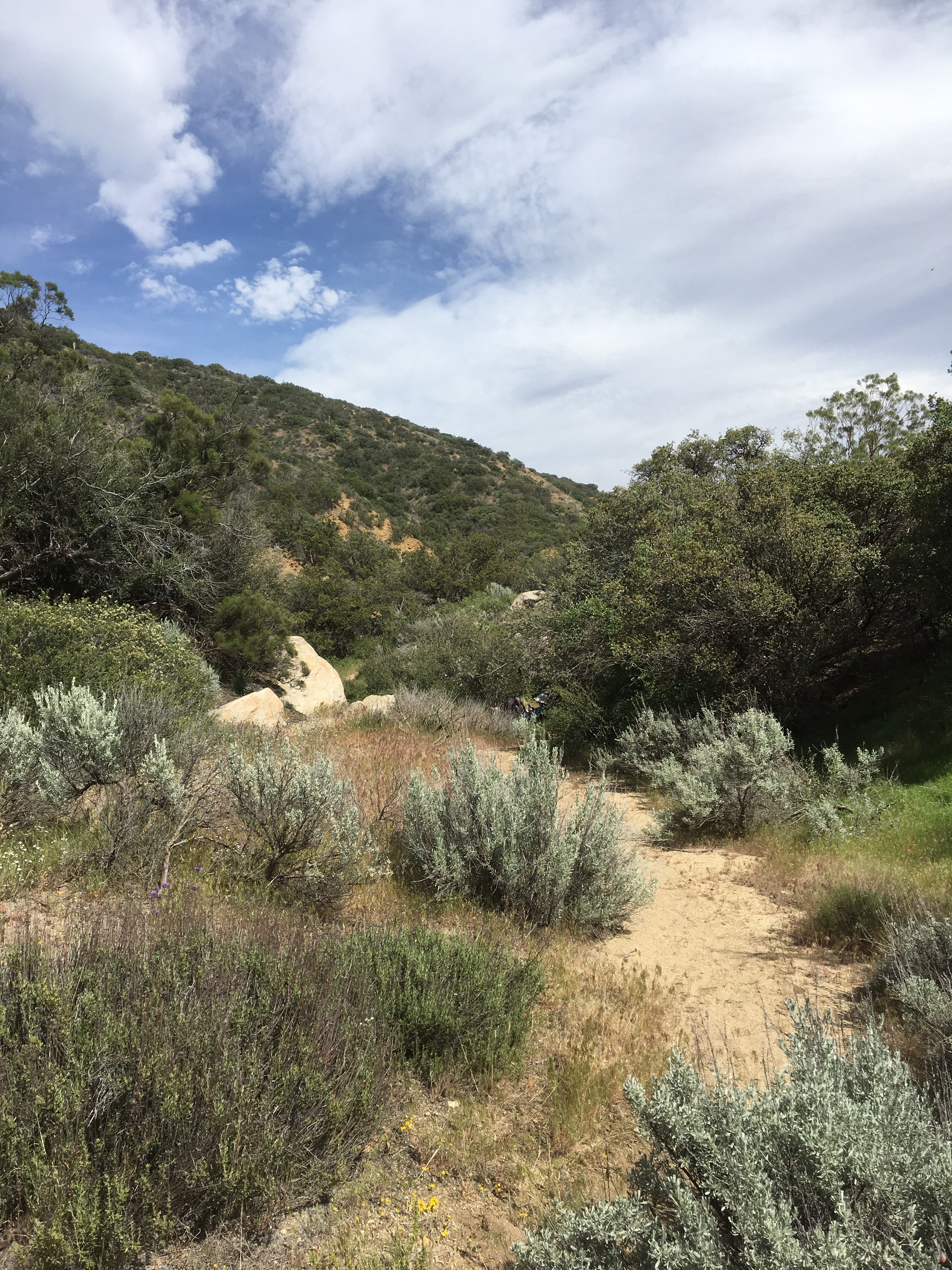
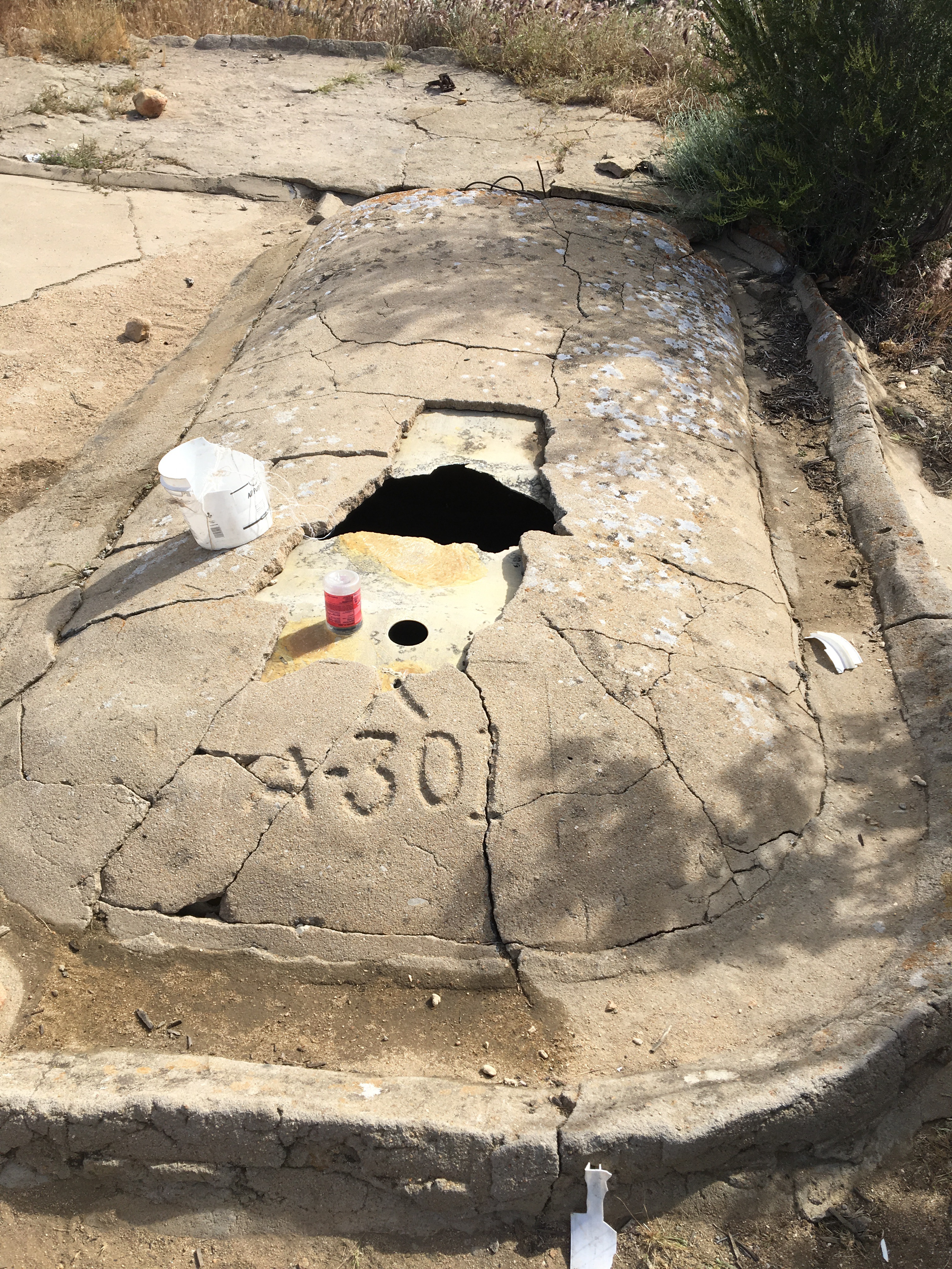
Day 33 – Partly cloudy and cool today, with a decent wind.  Made it to the 500 mile marker!  Or a few of them at least – there’s the official one, then the 500th mile according to Guthook/Hilemile apps.  Then whatever our personal 500th mile is/was, figuring in a fire reroute and some other blue blazing.  Saw a sand storm off in the distance.  Interesting rainwater bin as a water source – we skipped the previous one as it had a decomposing fox (?) in it.  By late afternoon we were ready to camp and found a sunny but breezy site at mile 503.


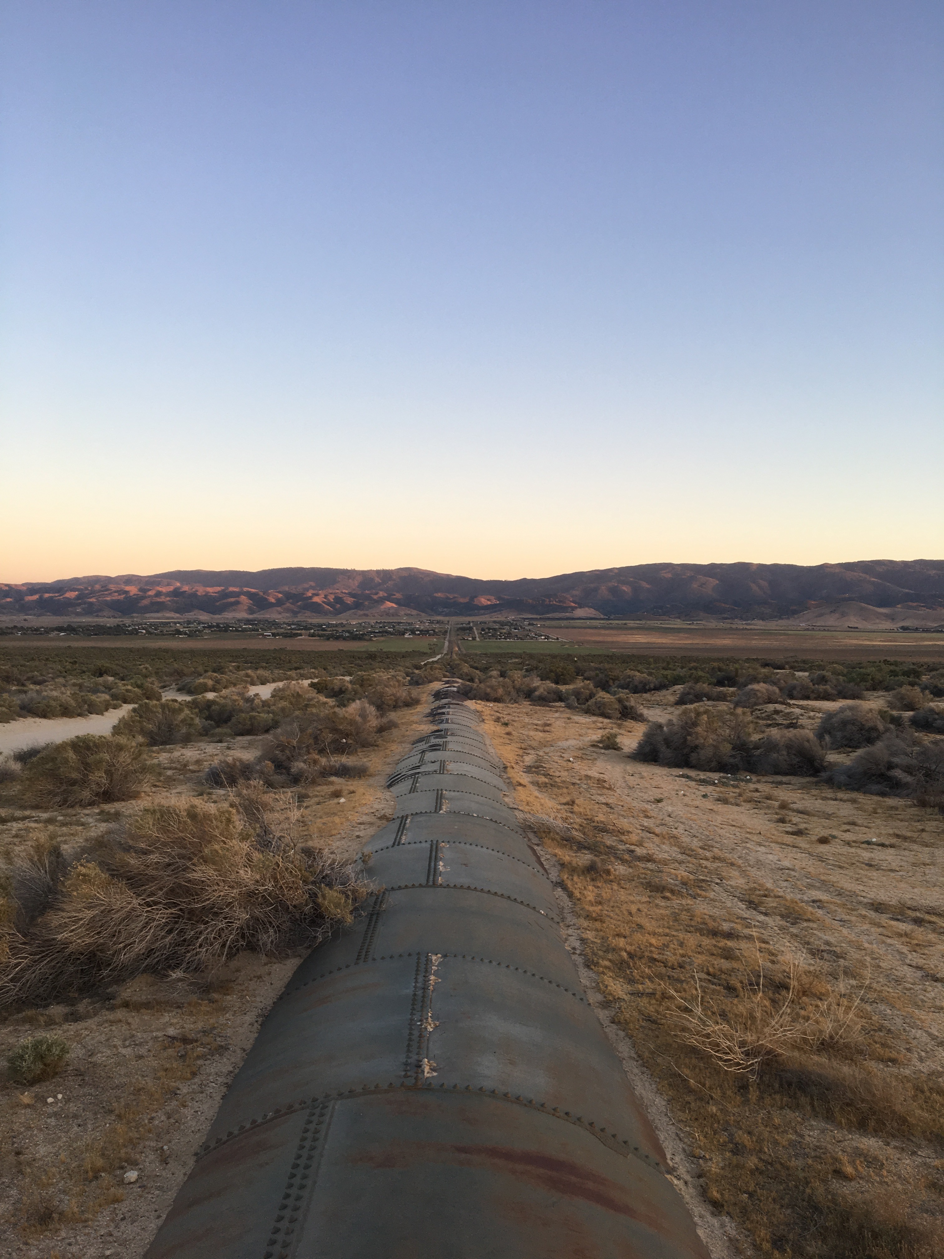
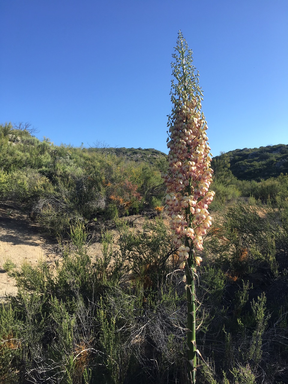
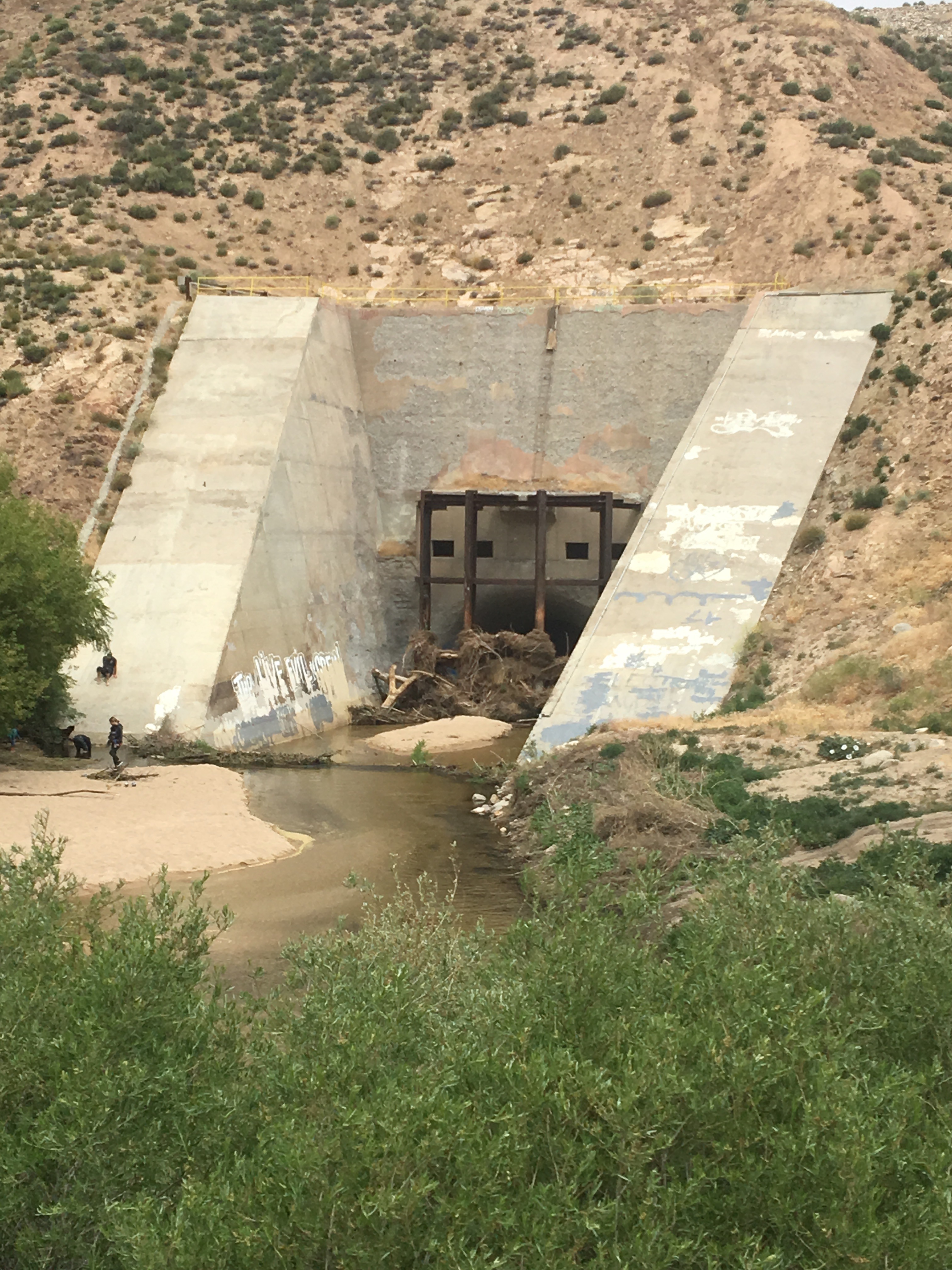
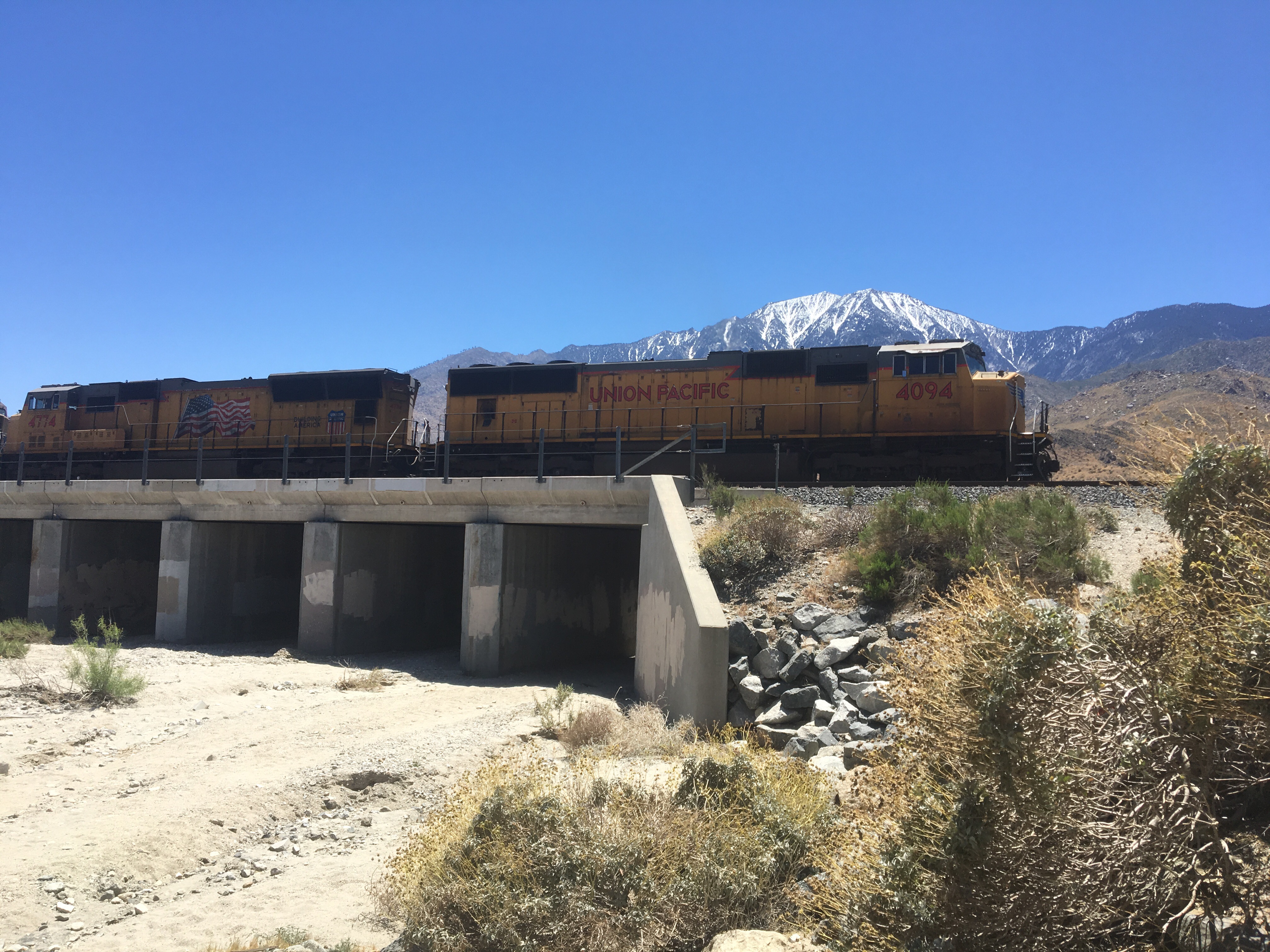
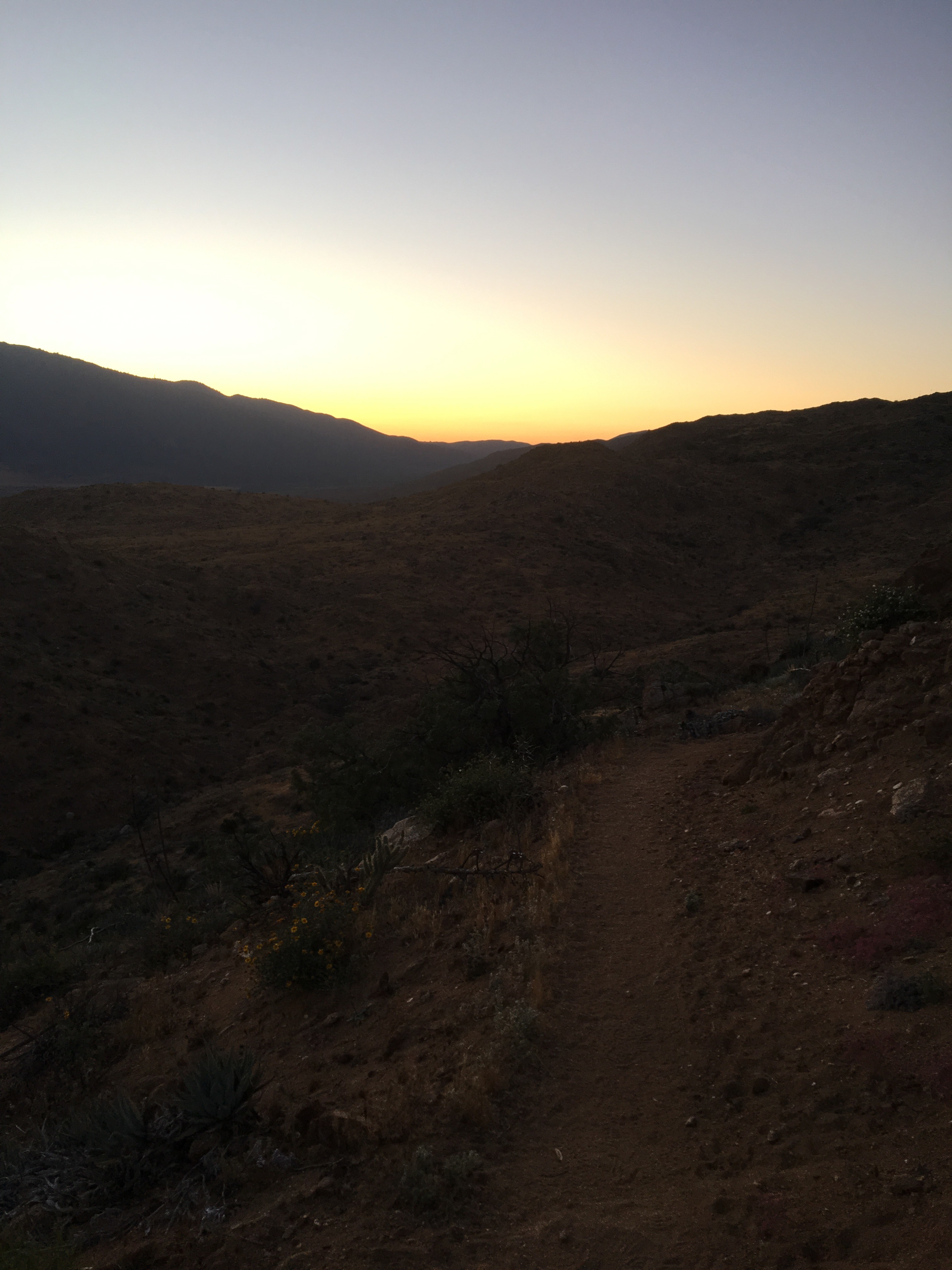
Day 34 – Easy ~15 miles in the morning through woods and down into the desert.  Stopped at Hiker Town, a unique hostel and refuge from the heat for the afternoon.  After picking up a few more days of food and a couple hot meals at the nearby market, we had a couple drinks and set out on the aqueduct.  Nice to see the sunset followed by some stars as we hiked the flat water way.  Camped by the aqueduct at mile 529.3.


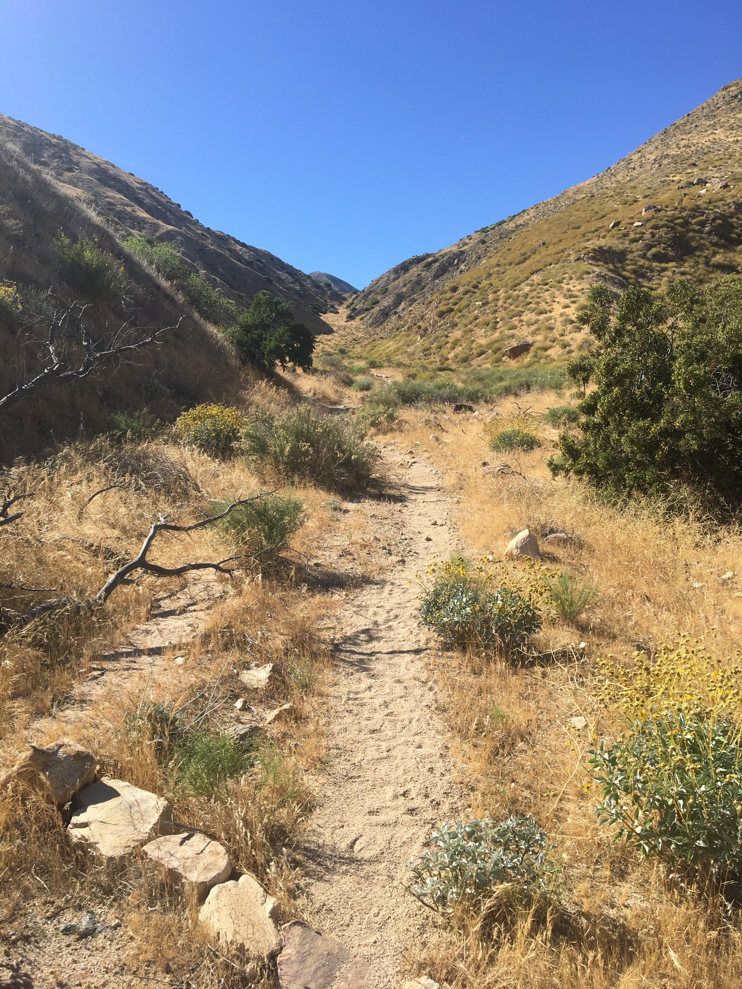
Day 35 – Slept in a little then hiked to Tylerhorse Canyon, the last water before our hitch into Tehachapi.  Biggest water carry yet personally, at 5.5L.  After a few more miles in the evening, we camped at mile 545.1.


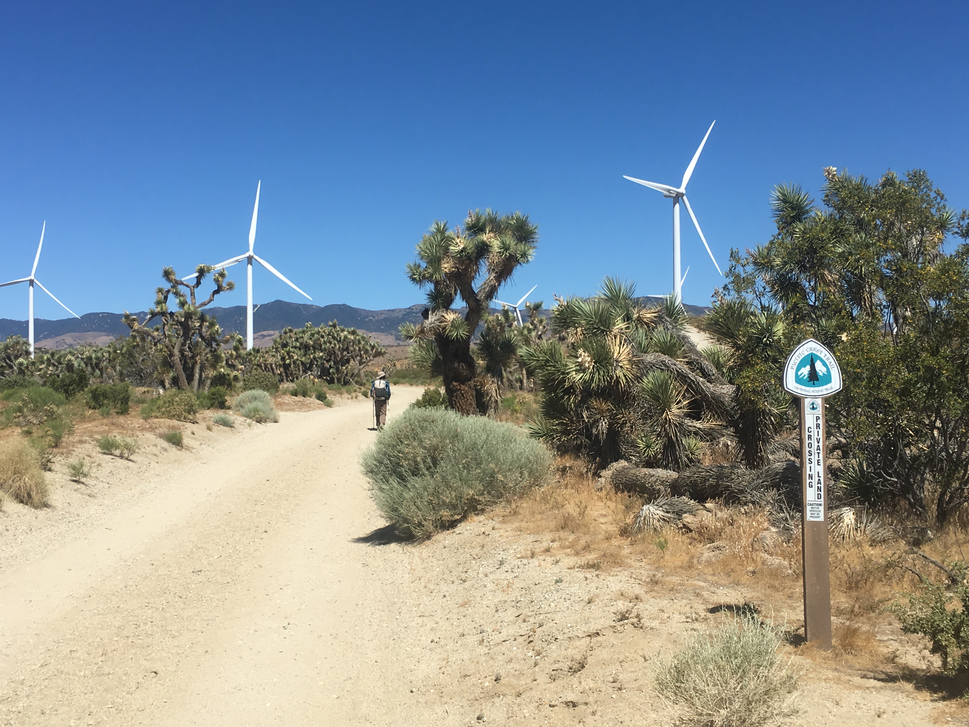
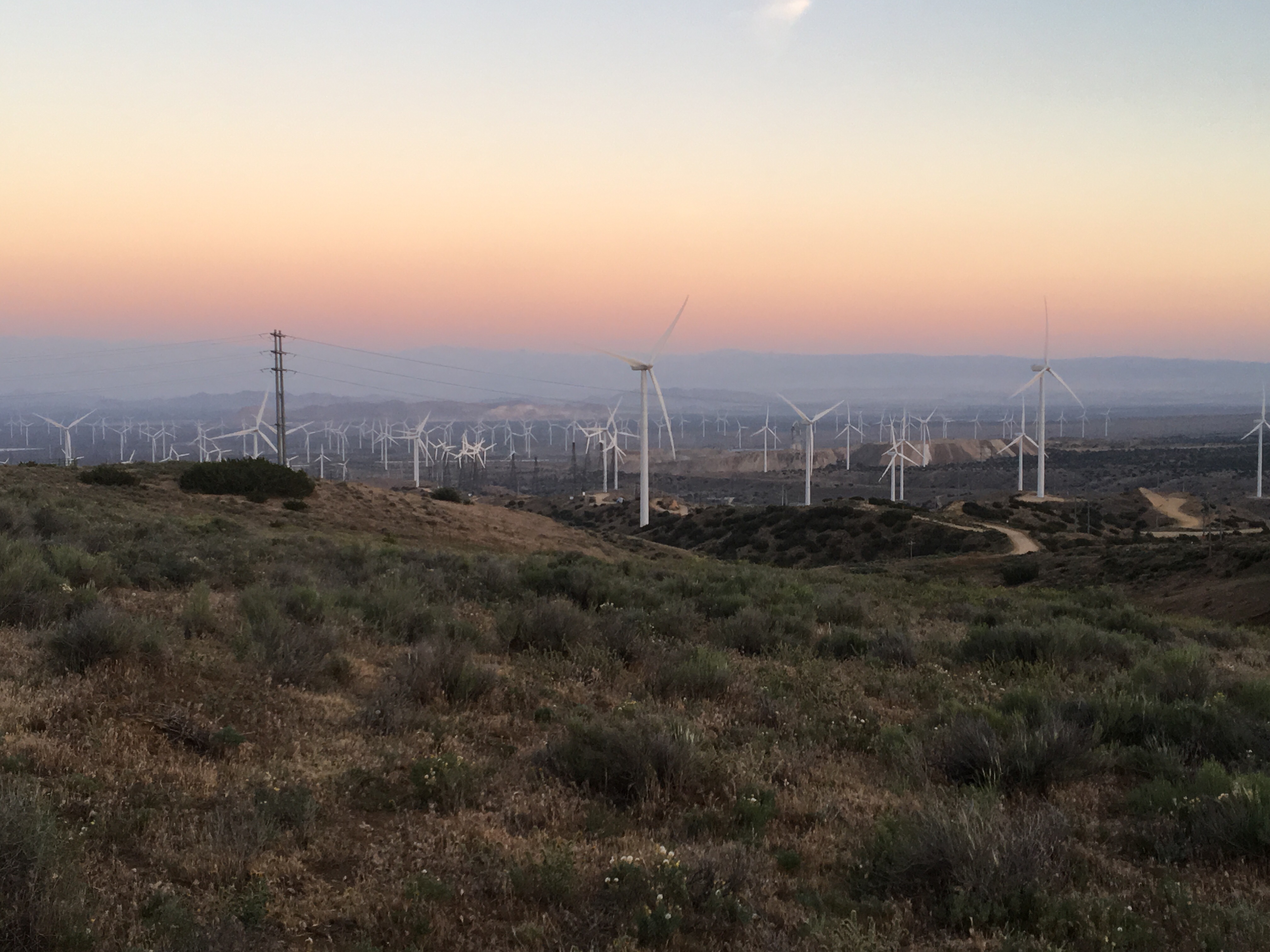
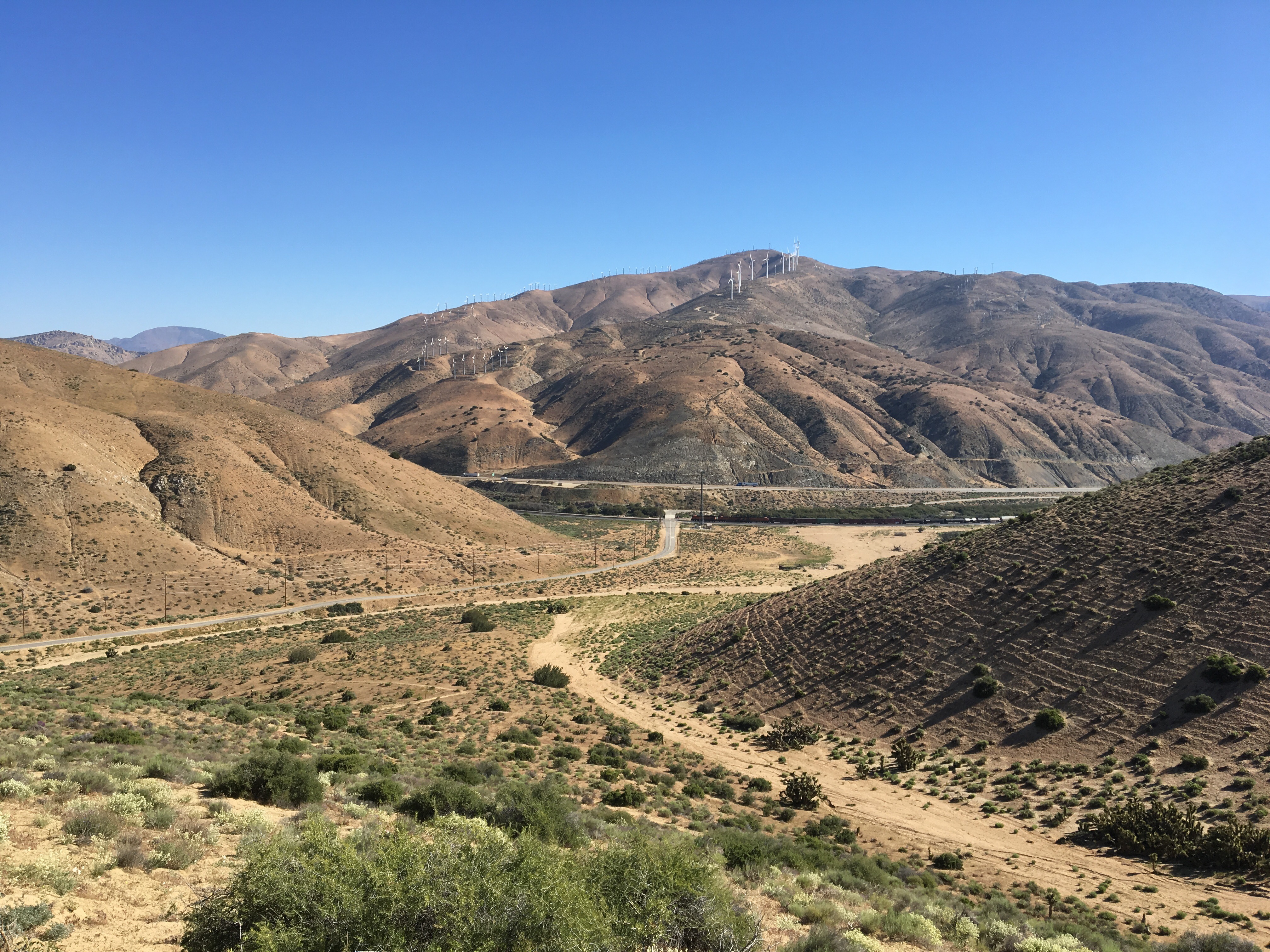
Day 36 – Hiked for a bit early morning then stopped at what shade we could find for the now routine afternoon siesta.  Pushed another 7 or so miles early evening, then camped amongst the wind turbines at mile 562.  Only a couple miles to go until town!  Looking forward to some coffee, breakfast, a shower, and laundry.


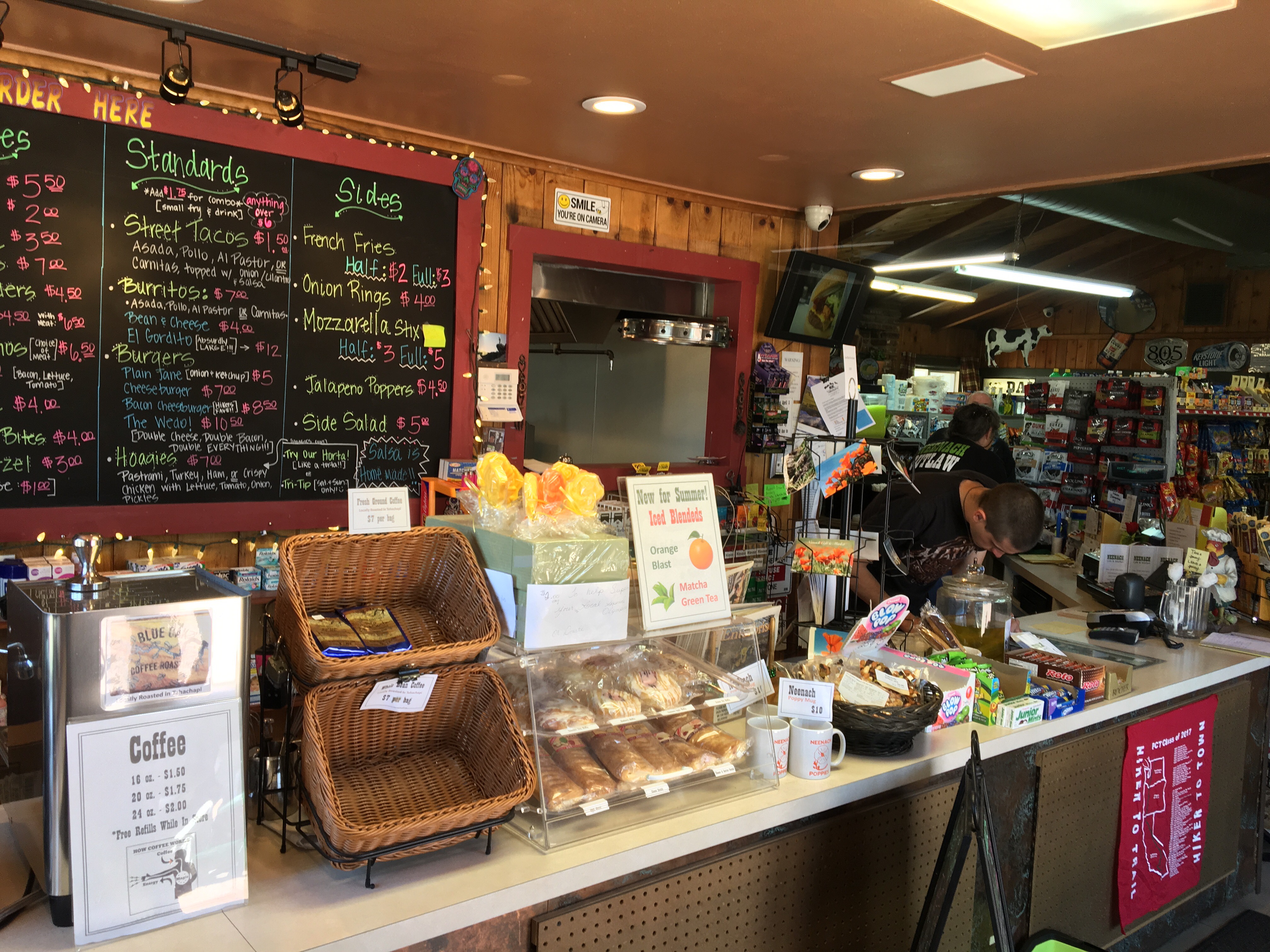
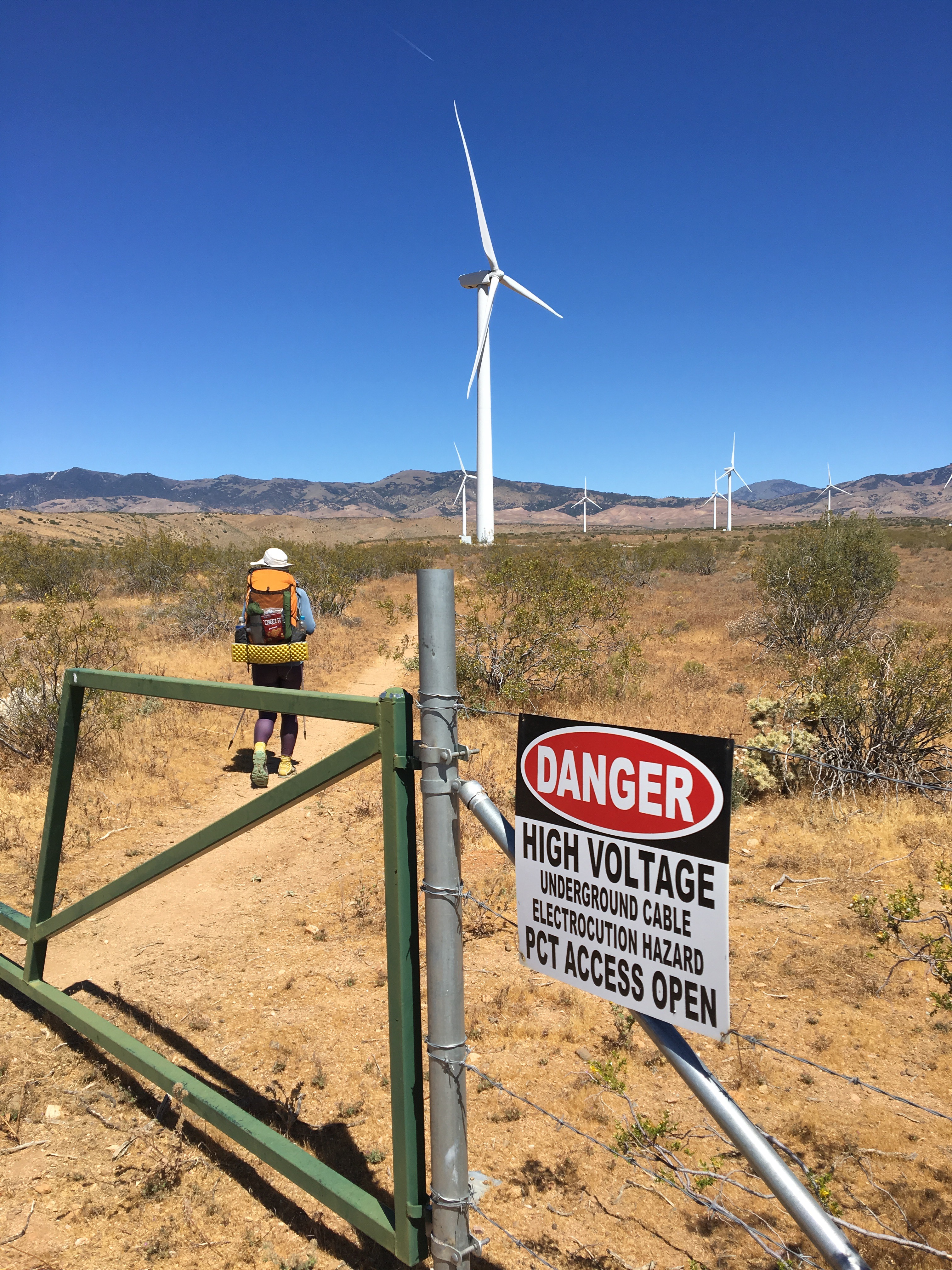
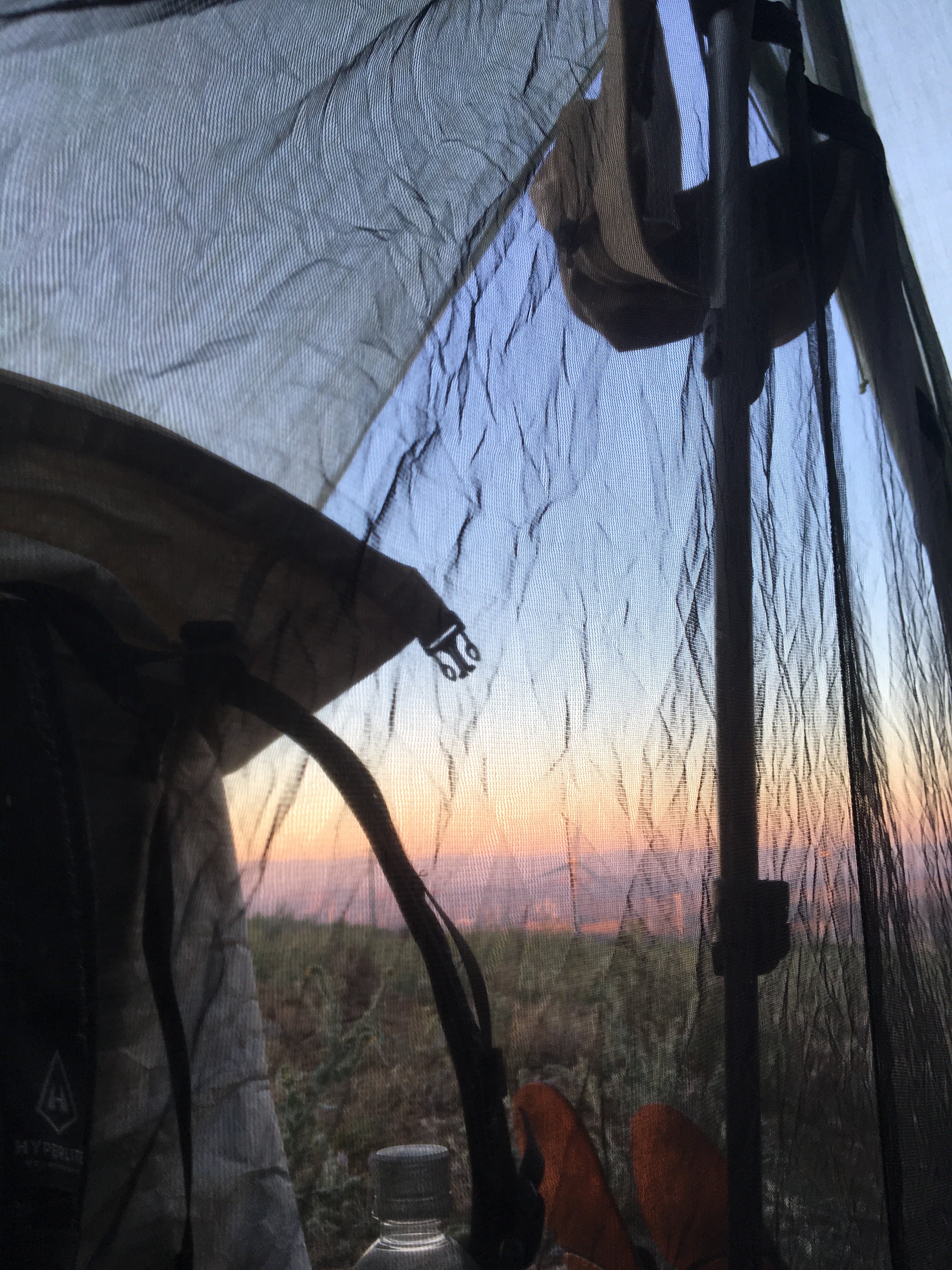
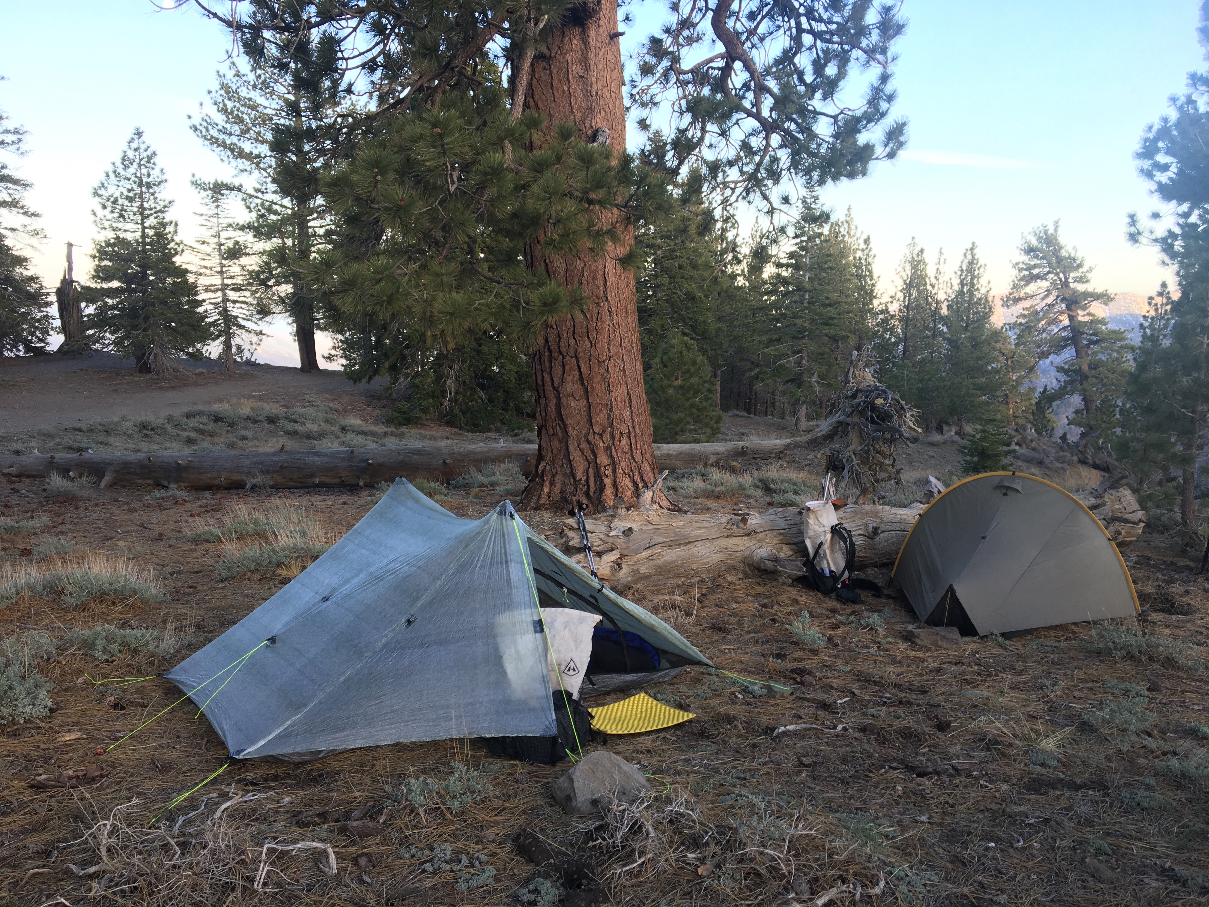
Day 37 – Nice sunrise view from the tent.  A quick four miles more of windfarm and we were at the highway.  A friendly gentleman was already there stocking a water cache with a couple gallons and happily drove us to our hotel.  Relaxing today in town and taking our second zero day here in Tehachapi, officially at mile 566.4 of the Pacific Crest Trail.

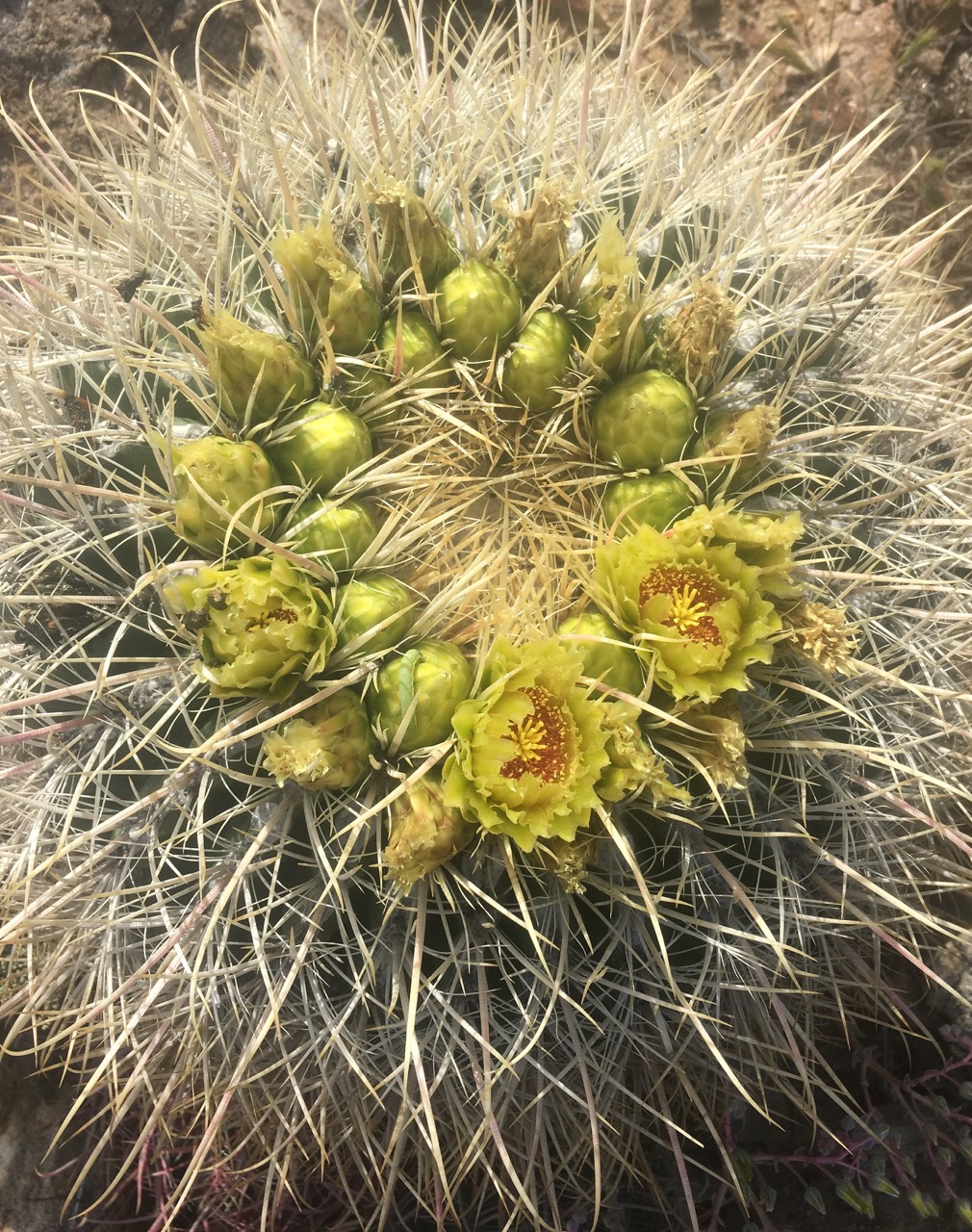
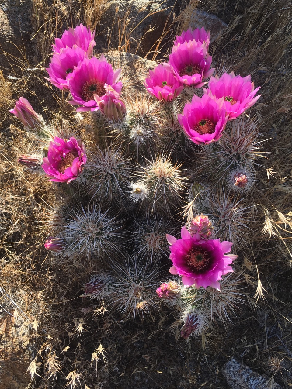
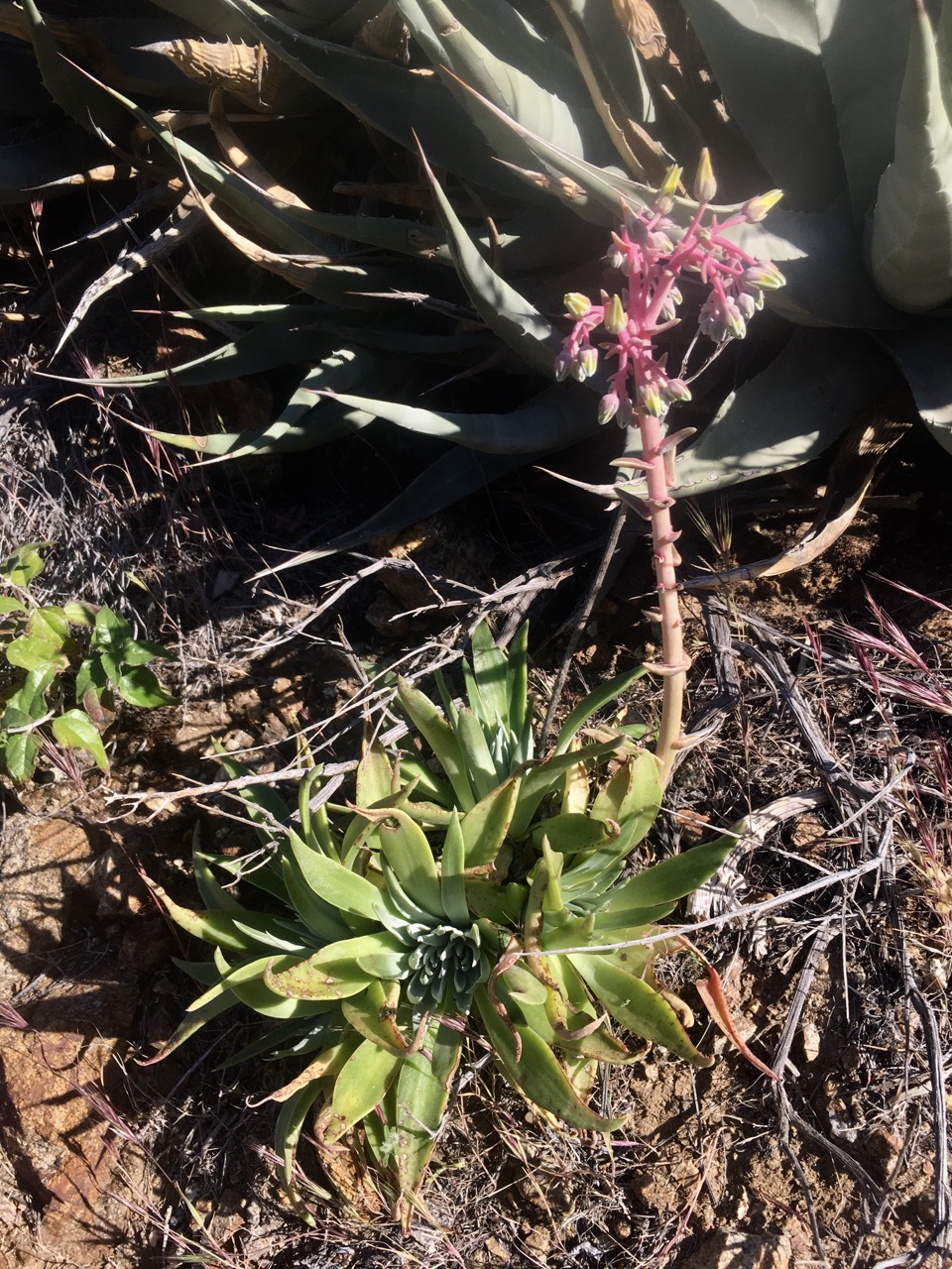
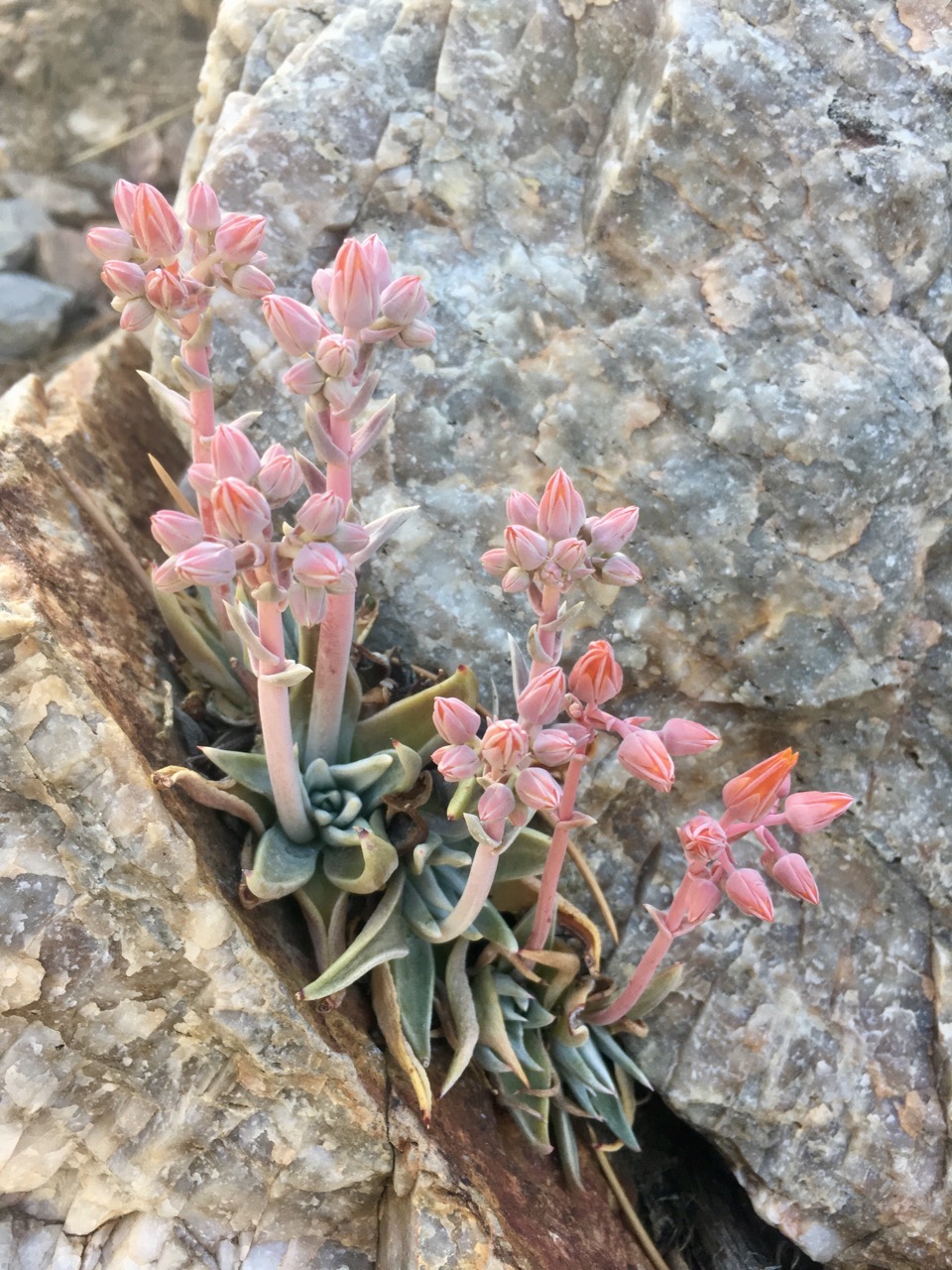
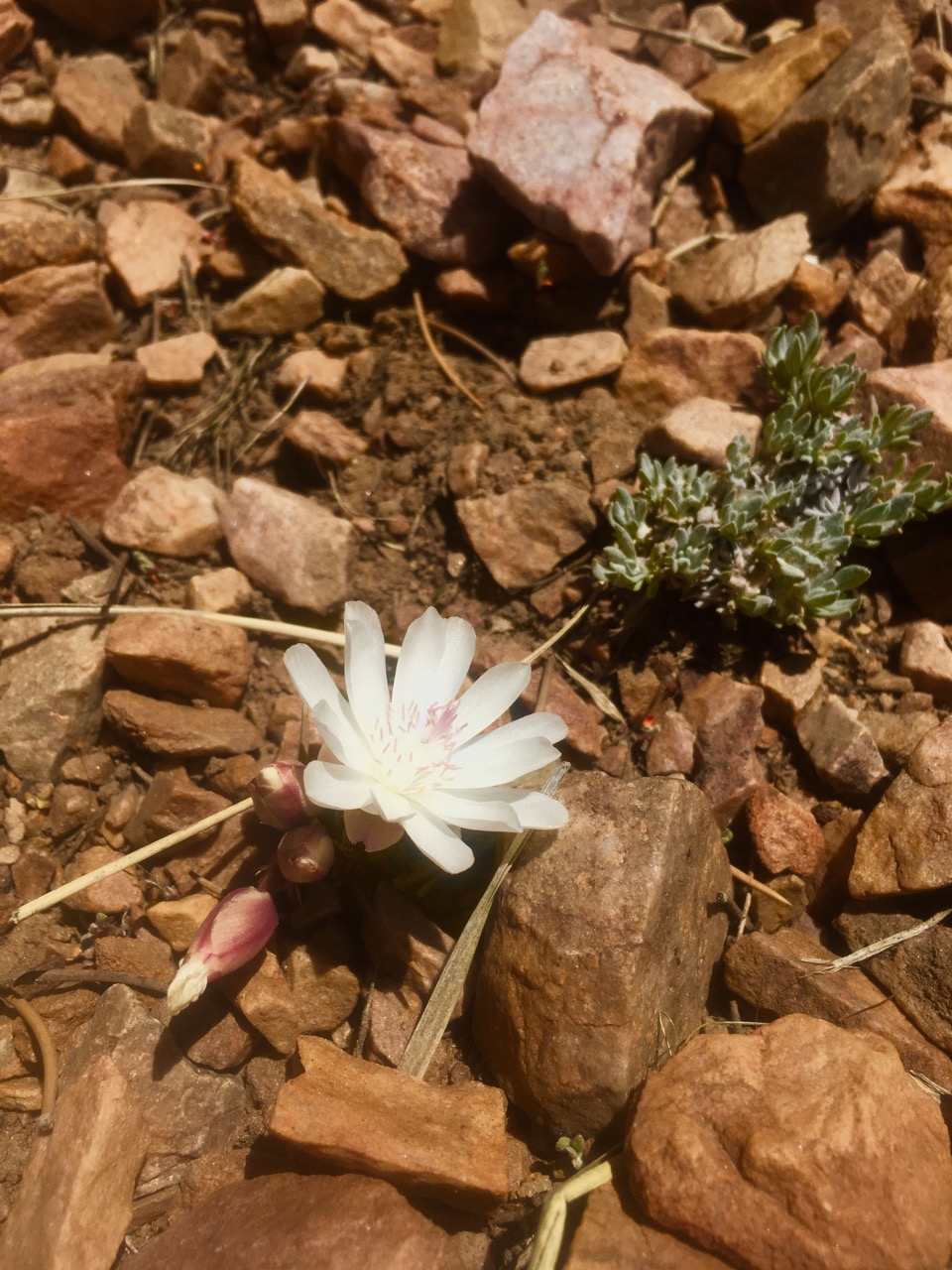
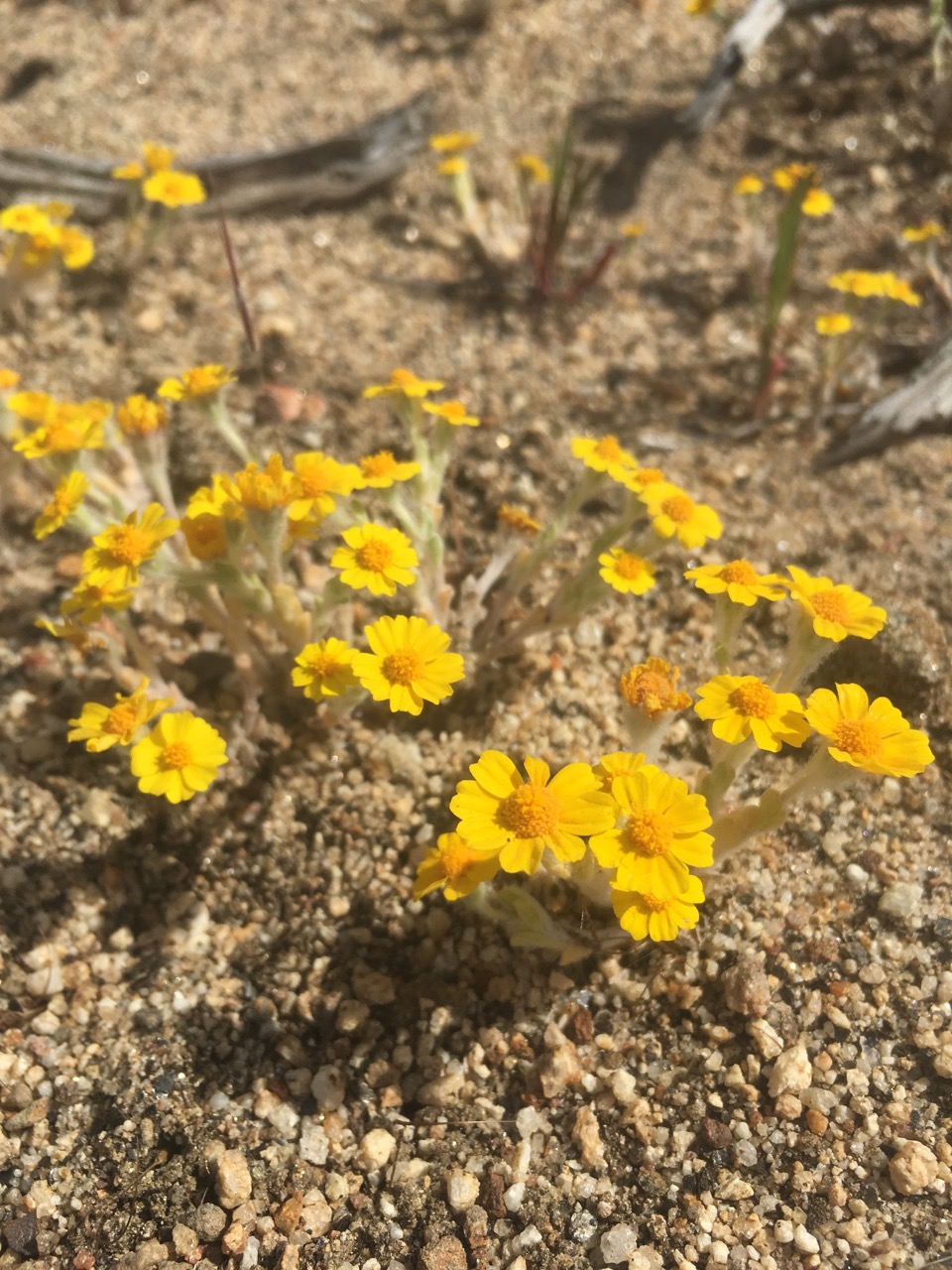
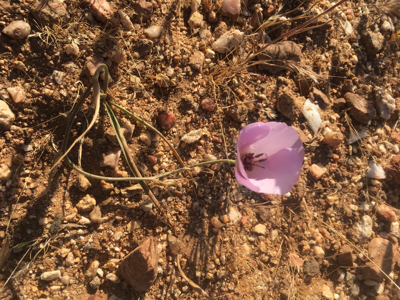
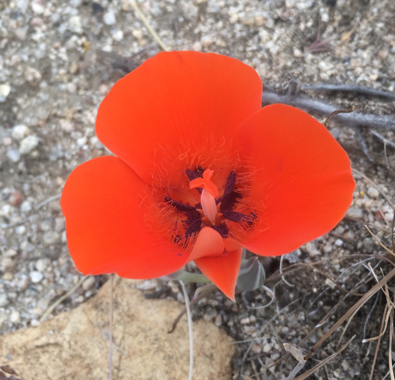
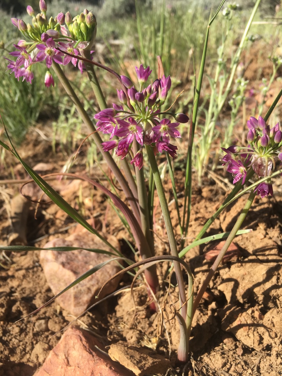
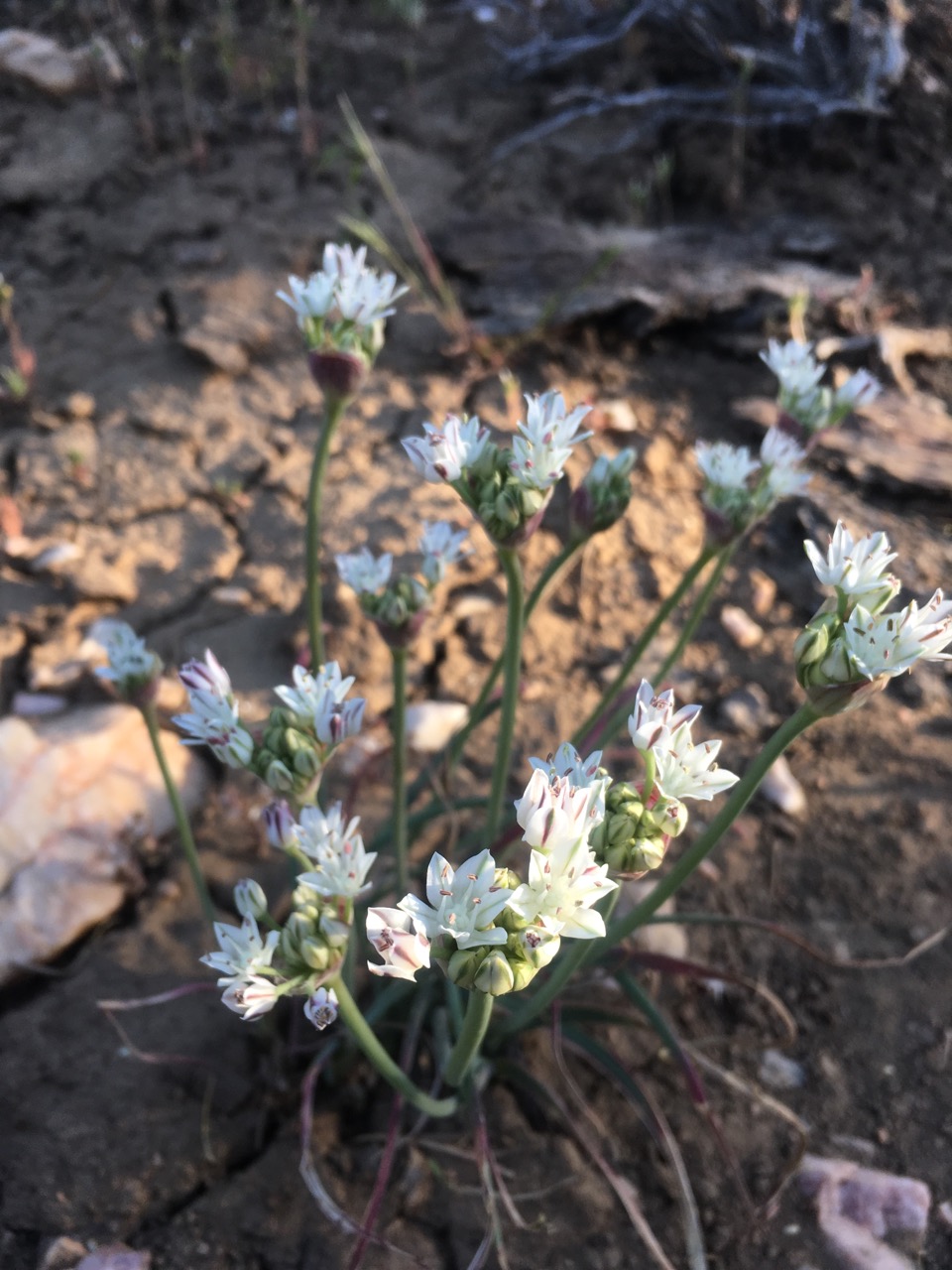
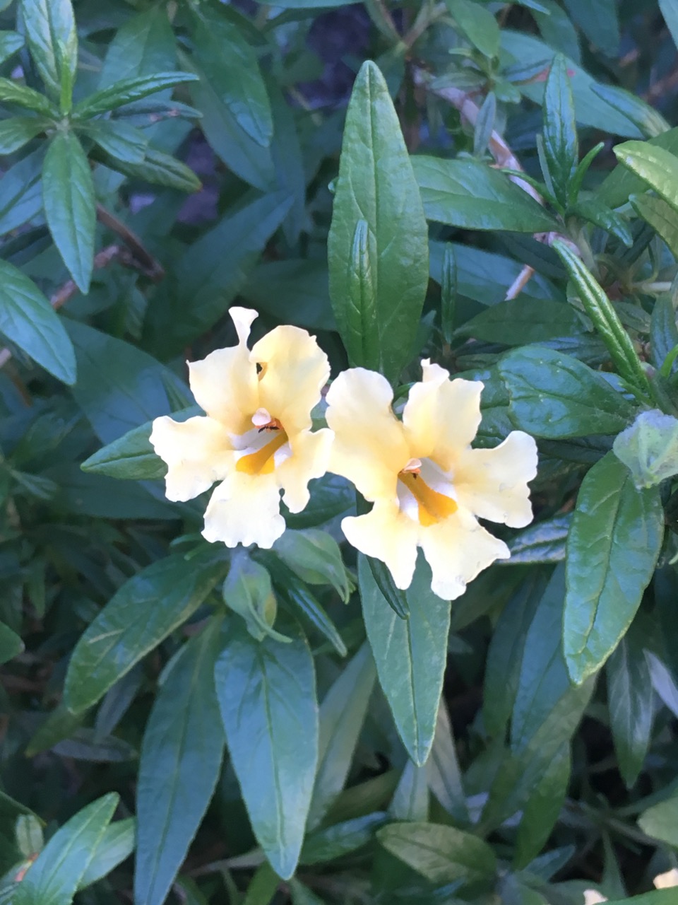
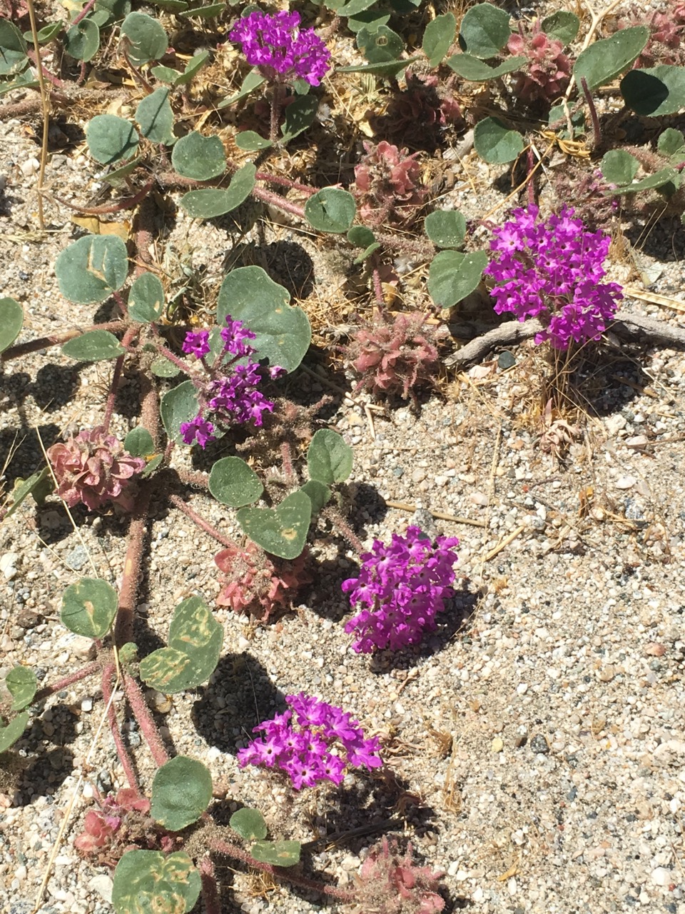
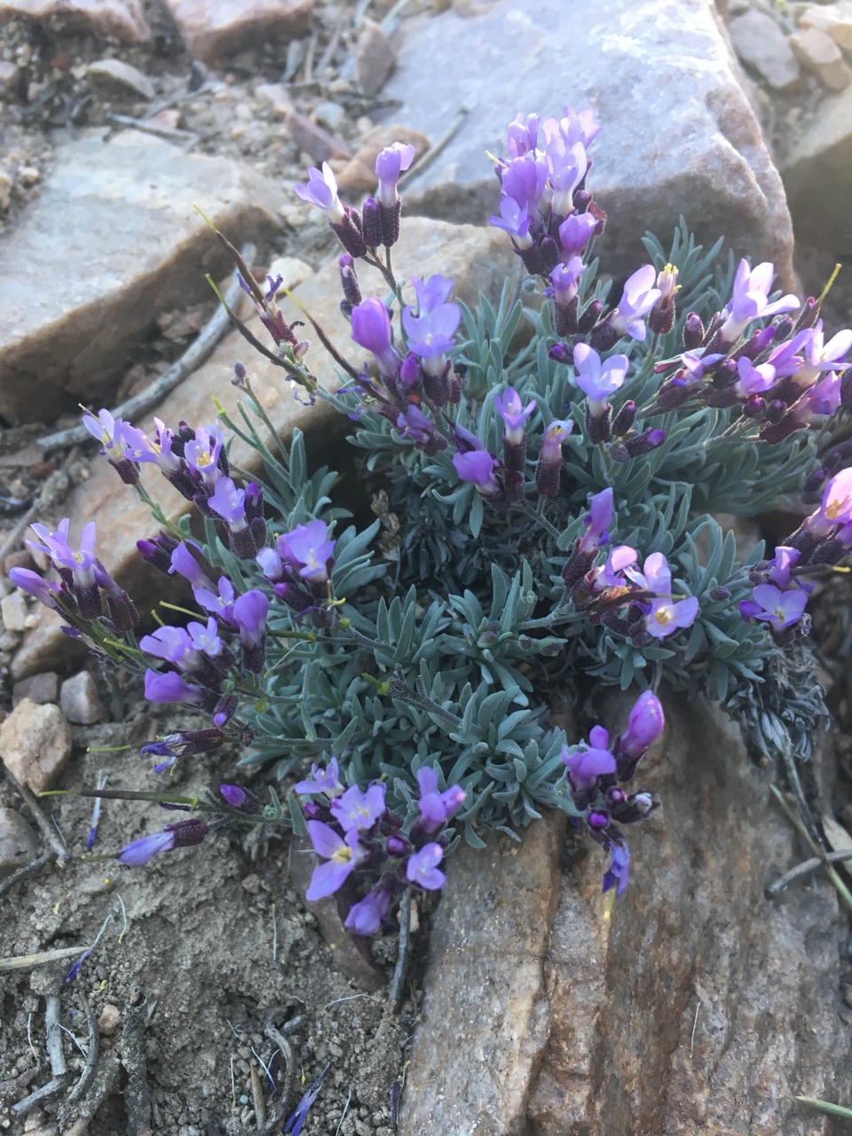
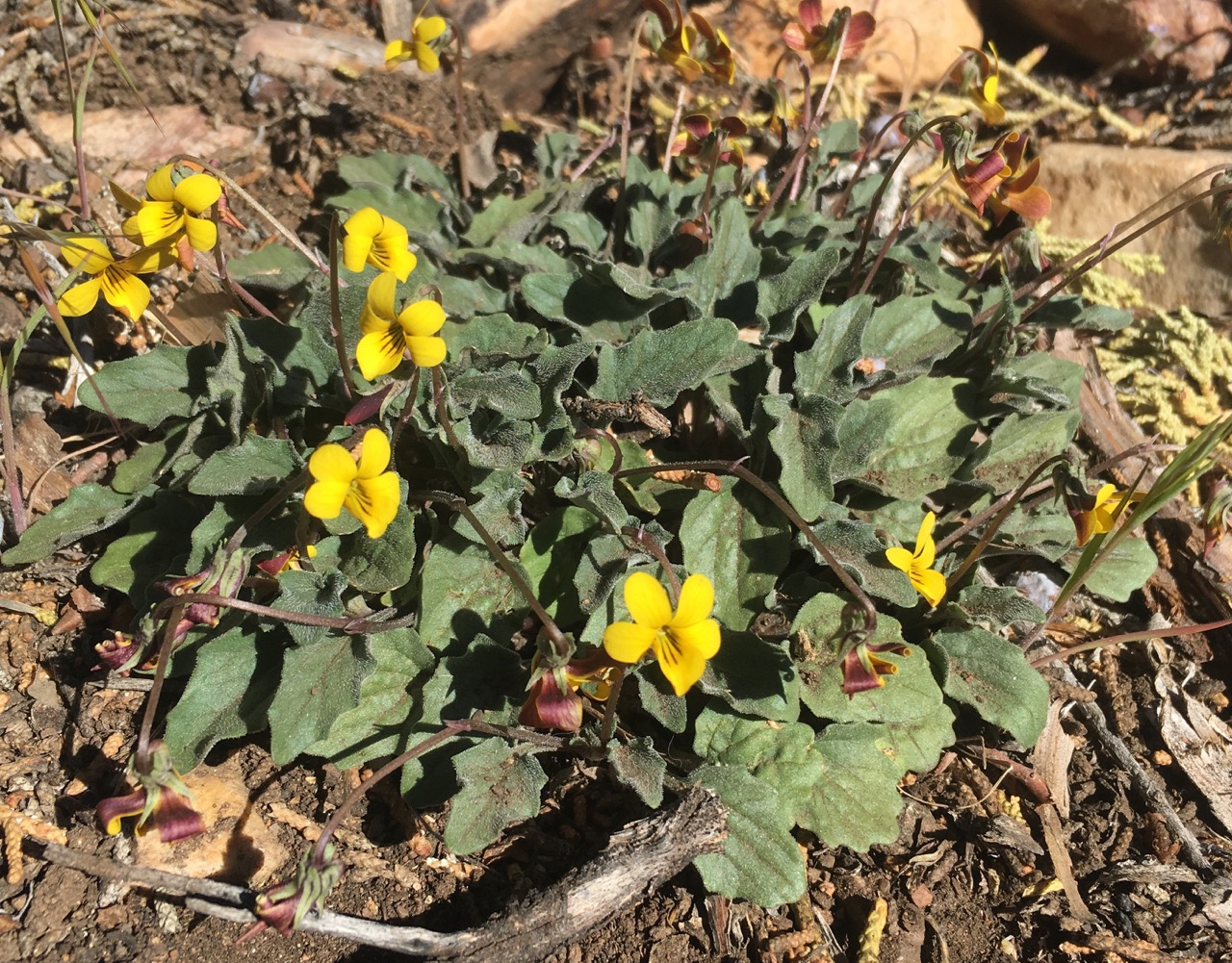
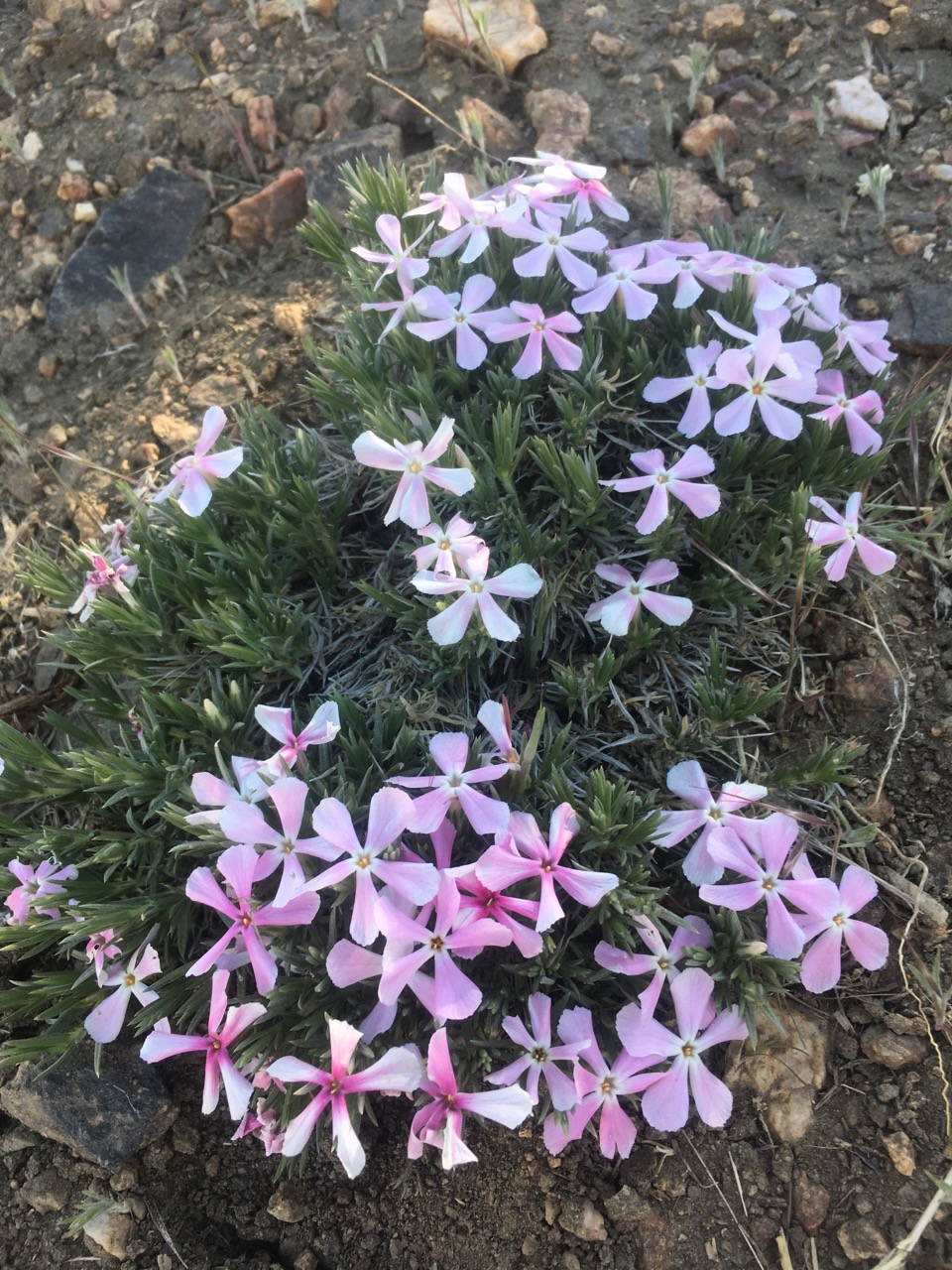
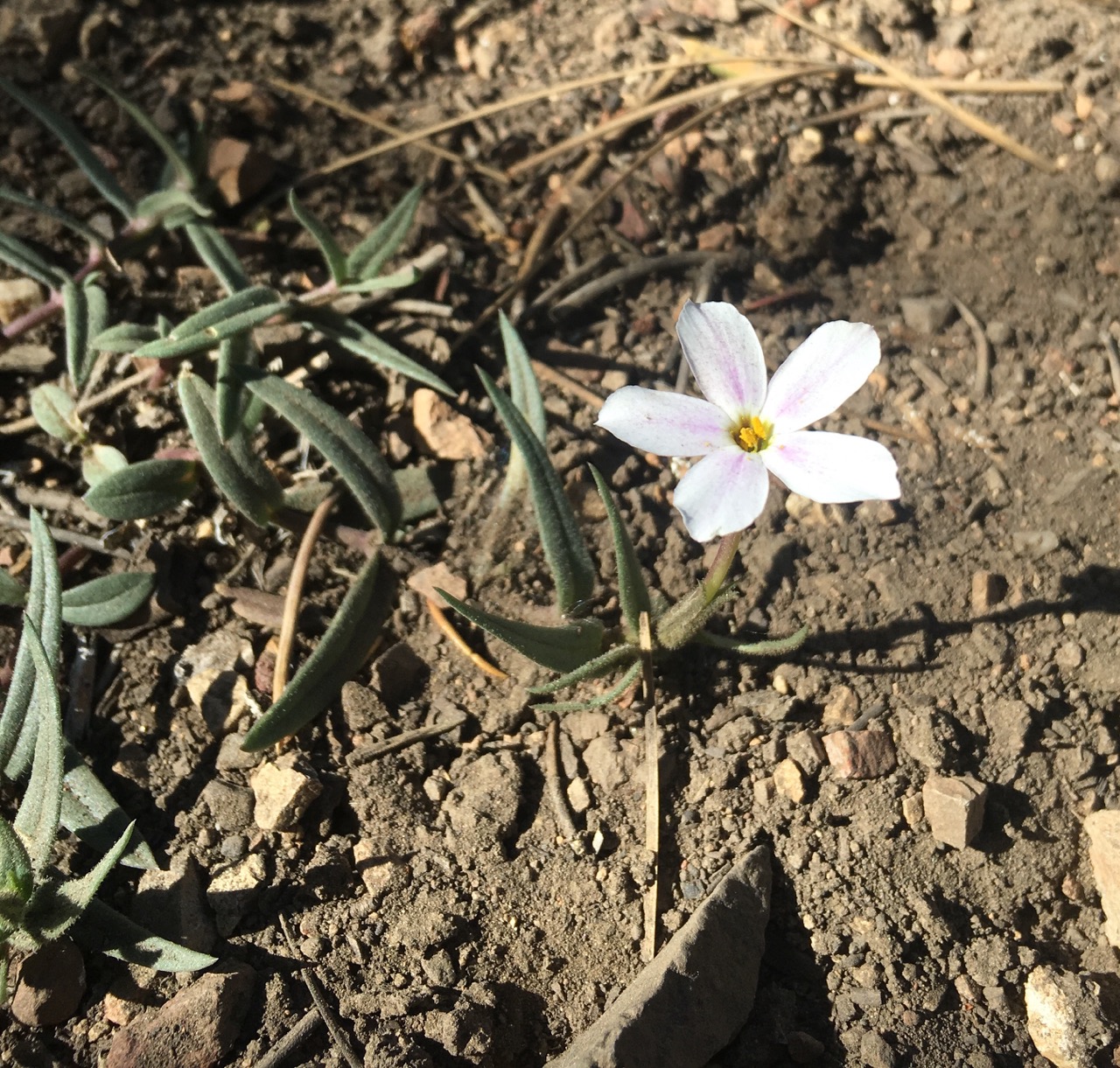
Note:  the WordPress app on iOS is pretty buggy, especially with longer posts containing more than a few images.  Due to this I am no longer able to caption images. Please excuse this and any other weird formatting errors!  And WordPress, please let me submit bug reports via your iOS app.

5/23 Update: WordPress has released an update to their app and we are able to caption images again!  Thank you!

Flora of the PCT: Desert Wildflowers Part I

We’re over halfway through the desert with the Mojave (real desert) left ahead. These first few hundred miles have been full of surprises- lots of water, plant and animal life.

California has had a good deal of precipitation this year, making for lighter packs and vibrant landscapes. There are more amazing smelling plants and beautiful wildflowers than I could have dreamed of. 


Two of several wonderful smelling Ceanothus species.


Delphinium for days!

Here’s what I thought all 700 miles of desert would look like…

Joshua tree Yucca brevifolia


Chaparral yucca Hesperoyucca whipplei


California barrel cactus Ferocactus cylindraceus


Beavertail cactus Opuntia basilaris

Silver cholla Cylindropuntia echinocarpa


Strawberry hedgehog cactus Echinocereus engalannii


Kingcup cactus Echinocereus triglochidiatus

Panamint liveforever Dudleya saxosa


Canyon liveforever Dudleya cymosa


Ocotillo Fouqureria splendens

and other Dr. Suess like plants. I love cacti and succulents, but was truly unaware of how diverse the desert would be. This is high desert with elevations ranging from about 3,000-9,000 feet. We’ve experienced relentless sun and exposure followed by snow and conifers. 

There have been some incredible views, but I have been enchanted by the wildflowers. Everyday the flowers change, there are new species mixed in with the old and many yet to be identified.


Colorado four o’clock Mirabilis multiflora


Bush poppy Dendromecon rigida

Flatbud prickly poppy Argemone munita

Fremont’s monkeyflower Mimulus fremontii

Wild canterbury bells Phacelia minor

Fremont’s phacelia Phacelia fremontii

California milkweed Asclepias californica

Bitterroot Lewisia rediviva

Woolly daisy Eriophyllum wallaccei

Winding mariposa lily Calochortus flexuosus

Desert mariposa lily Calochortus kennedyi

Twincrest onion Allium bisceptrum

Pitted onion Allium lacunosum

Chinese houses Collinsia concolor

Sticky monkeyflower Mimulus aurantiacus

Pink sand verberna Abronia umbellatta

Dwarf rockcress Boechera parishii

Desert willow Chilopsis linearis

Goosefoot violet Viola purpurea

Mountain phlox Phlox austromontana

Cold desert phlox Phlox stanburyi

California flannelbush Fremontodendron californicum

Sandblossoms Linanthis parryae

Panamint mountain lupine Lupinus magnifricus

Bajada lupine Lupinus concinnus 

Stinging lupine Lupinus hirsutissimus

Day 25 – Mile 369.3, Wrightwood, CA

More days and miles pass by and it’s starting to feel like at least a little real progress has been made.  Kennedy Meadows (where we enter the Sierras) is starting to feel not so distant…

Day 19 – Lazy morning in Big Bear Lake, passed out some RXBARS to locals and hikers, nice to give back some trail magic thanks to Jenn and the RXBAR team.  Got a ride back to Onyx summit from the hotel owner and had great afternoon of hiking.  Lots of pines, shade and the grade was pretty flat!  Camped at mile 264.2.

So I should step on the plants?

Day 20 – Continued easy grade and shade made for another great day of hiking.  Today officially marks the longest trip mile wise for Ian and I!  Camped at 285.6, Little Bear Springs Camp.

Day 21 – Saw a ton of snakes and lizards today!  Enjoyable day of hiking overall and we camped at mile 303.9.

Coiled up under a bush at a right angle turn in the trail – waiting to surprise hikers no doubt.
Biggest one we’ve seen yet, it was taking up a good third of the dirt road.

Day 22 – Pretty cold and rainy all day, had to keep moving to stay warm by the end of it.  Hiked about 22 miles.  Thought we may escape the rain, but got soaked anyways.  Found a cove mostly out of the wind on Silverwood Lake at mile 326.1.

Fairly creepy part of the dam.

Day 23 – Tent held up well in the nook on the beach, but condensation got my sleeping bag a bit wet over night.  After checking the radar and seeing no way to dry out our tents easily (and more rain in the afternoon/evening), we hiked 16 miles and got room at the Best Western in Cajon Pass, at mile 342.

Day 24 – Hiked up and out of Cajon Pass through seemingly endless fire damaged areas.  Gained about 6500′ over 20 miles.  Finally we were rewarded with a nice campsite, out of the wind, under some pines, at mile 361.7.

Day 25 – Got a ride into Wrightwood, CA after a short 7.6 mile hike to the highway – no hitch needed!  Spending the rest of the day here relaxing in town.  Tomorrow we begin our climb up Mount Baden-Powell…

Day 18 – Mile 252.1, Big Bear Lake, CA

Another small section complete, with a variety of conditions ranging from near 1000′ and blazingly hot to near 11000′ and freezing on San Jacinto Peak.  Sand to snow.  Microspikes not needed, but used because we had ’em.

Day 12 – First zero day in Idyllwild, CA.  Stayed at the very hiker friendly Idyllwild Inn, cabin #5.  Had a nice wood fire in the fireplace both nights, quite the luxury.

Five days of protein bars and pasta sides more or less. Still delicious.

Day 13 – Blue blazed on the Devils Slide Trail back up to the PCT and camped at mile 180.8 – great views.  Short day but climbed several thousand feet up to our campsite which is at ~9003′.  Played around on the boulders until sunset.


Montbell (their jackets) should totally use this photo.
Our campsite a couple thousand feet below the San Jacinto summit – all the other pics were from just past the rocks behind our site.

Day 14 – Started the day bagging the San Jacinto summit.  Fuller Ridge not all it’s cracked up to be, at least this “late” in the season!  The hype was unnecessary, especially if you have any basic snow hiking experience.  There was fall potential, but no significant exposure.  Camped at mile 193.6. 


Day 15 – Longest day of hiking yet at 25 miles.  Camped at mile 218.5, Whitewater Preserve, the closest thing to an oaisis I’ve ever seen – it’s an old trout farm that’s now a Preserve.  There’s palm trees, several ponds and the ranger we met was super friendly, offering outlets to charge stuff if needed, access to the dumpster and water spigot. Clean bathrooms with plumbing! Tons of day hikers and car campers here as well.

Hanging out under the I-10 underpass with water cache and cold beer.
View of part of the Mesa Wind Farm. They have a water cache and some shade for hikers at a service station near the trail.
I promise this was steeper, hotter, and longer than it looks here.

Day 16 – Slept in a little and paid for it – brutally hot today – 85-90ish all day with little wind and 3000’+ elevation gain.  Hiked by Mission Creek all day, so water was plentiful at least.  Camped at mile 235.5.
Day 17 – Shorter day today and much more shade, walked through the Lake Fire section and camped near Onyx Summit.

Sara siesta.

Day 18 – Saw a white tiger and grizzly bear today, at a private zoo the PCT passes by… apparently the animals have been used in Gladiator and a bunch of other movies.  Hitched into Big Bear Lake from Onyx Summit to resupply and spend the night.

Looking forward to the next few days being a bit cooler, higher, and more wooded.

Day 11 – Mile 151.8, Idyllwild, CA

Arrived in Idyllwild, CA after navigating part of the first fire closure alternate route. And by navigating I mean mostly skipping. We’re enjoying being a couple thousand feet higher, in cooler temps, and surrounded by pines.  This will be our first “zero day” – for those of you not familiar with long distance hiking it means a rest day with zero miles of progress.  We’ve come ~151 miles over the past 11 days and we feel good, but like with any endourance sport, rest days are important.

Day 6 – We had an easy hitch out of Julian back to Scissors Crossing with a musician from Michigan who said tons of people in Julian are from Michigan.  After waiting out the heat we decided to do some night hiking from around 5-11pm.  We camped at mile 90.4, a tent site on a ridge 2-3 feet up and just to the side of the trail.

Much cooler temps hiking at dusk.
No pictures after sunset, but the stars were beautiful.

Day 7 – After night hiking we still ended up getting up around 5:45am to continue on.  The only real notable and exciting part of the day was hitting mile marker 100!  We camped pretty much right after at mile 101.1.

The 1000 mile marker will be much more exciting.
 

Day 8 – Hiked in the midst of cows and blazing sun to arrive at Eagle Rock, a pretty neat landmark.  Went into Warner Springs, CA to pick up a package, grab a hot meal, then hiked a few more miles up trail to mile 112.5 where we camped.

Eagle Rock in all its glory. ‘Merica!
 
Moooooo.
Farmers should use this as a stock photo.

Outfitter in an Airstream!

Day 9 – camped at mile 131.6 after our longest day yet at a measly 19.1 miles.  Starting to feel ready to push more than 15 miles/day.

Sara eating some candy.
Sunset view from the tent.

Day 10 – camped at mile 148.2.  Got in about 17 miles today in the early morning and afternoon shade.  Windy/chilly at a couple points.  Stopped at a water cache called “Walden” with cold soda, a 500 gal tank of water, library, and a couple picnic tables.

Awesome water cache, thank you trail angels! Even had a trash can.
Didn’t need any, but this was an interesting water source.

Day 11 – 151.8 Idyllwild, CA.

Walking/hitching to Idyllwild.
“Harmony” an Idyllwild monument.
In the next couple weeks we’ll traverse up to Big Bear Lake/City and then start heading West through the San Bernardino and Angeles National Forests.

Still no blisters on my feet.